
Through Indian Pass
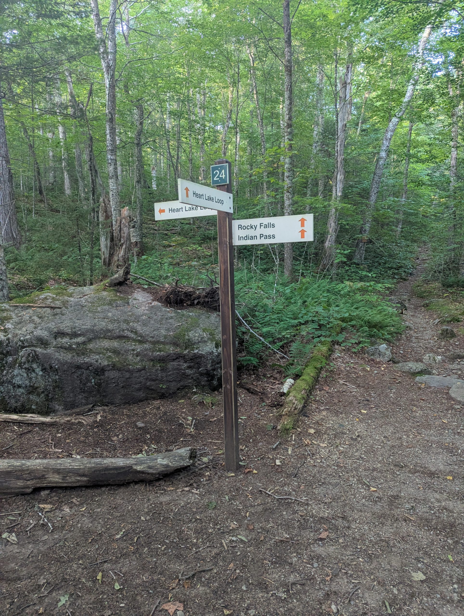
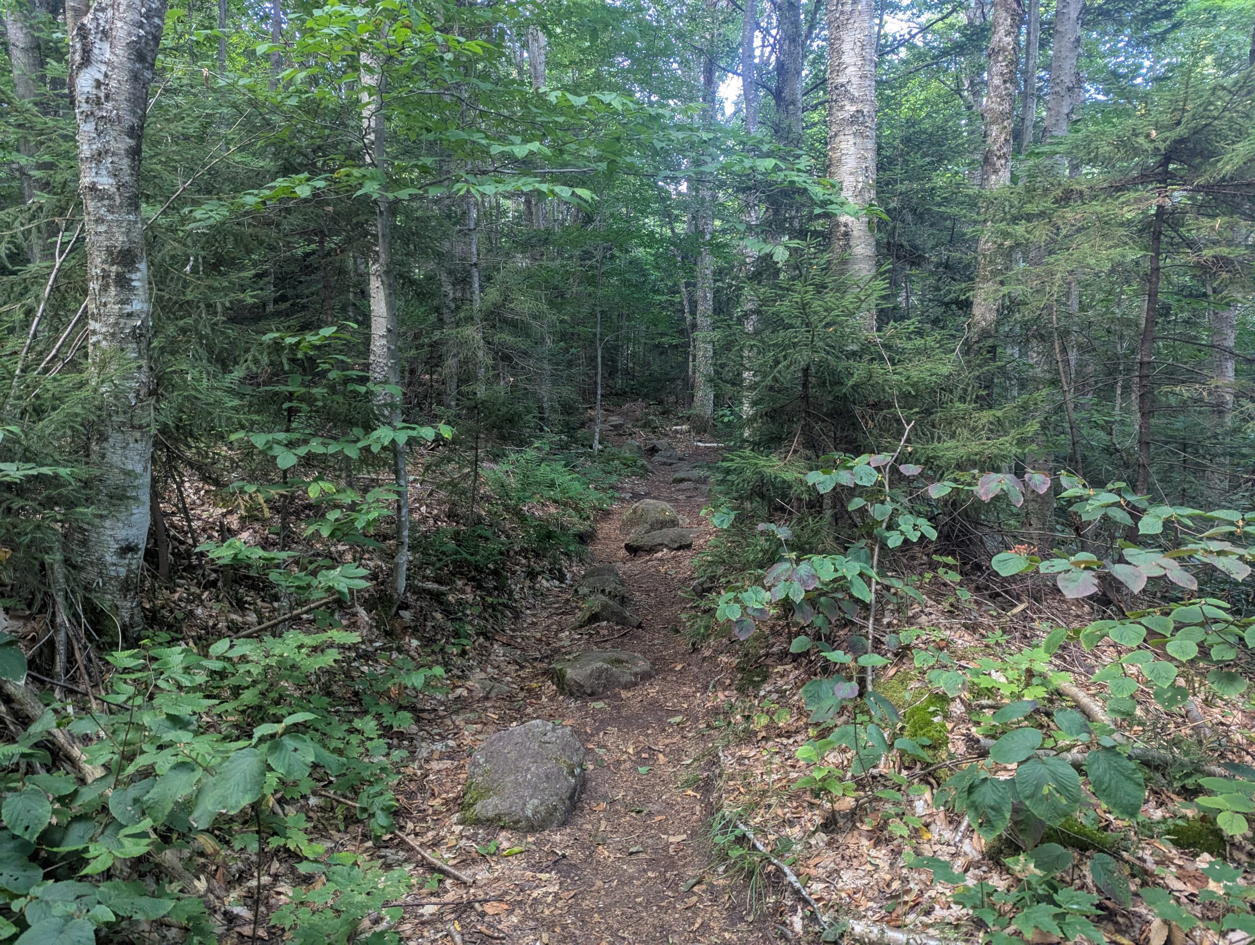
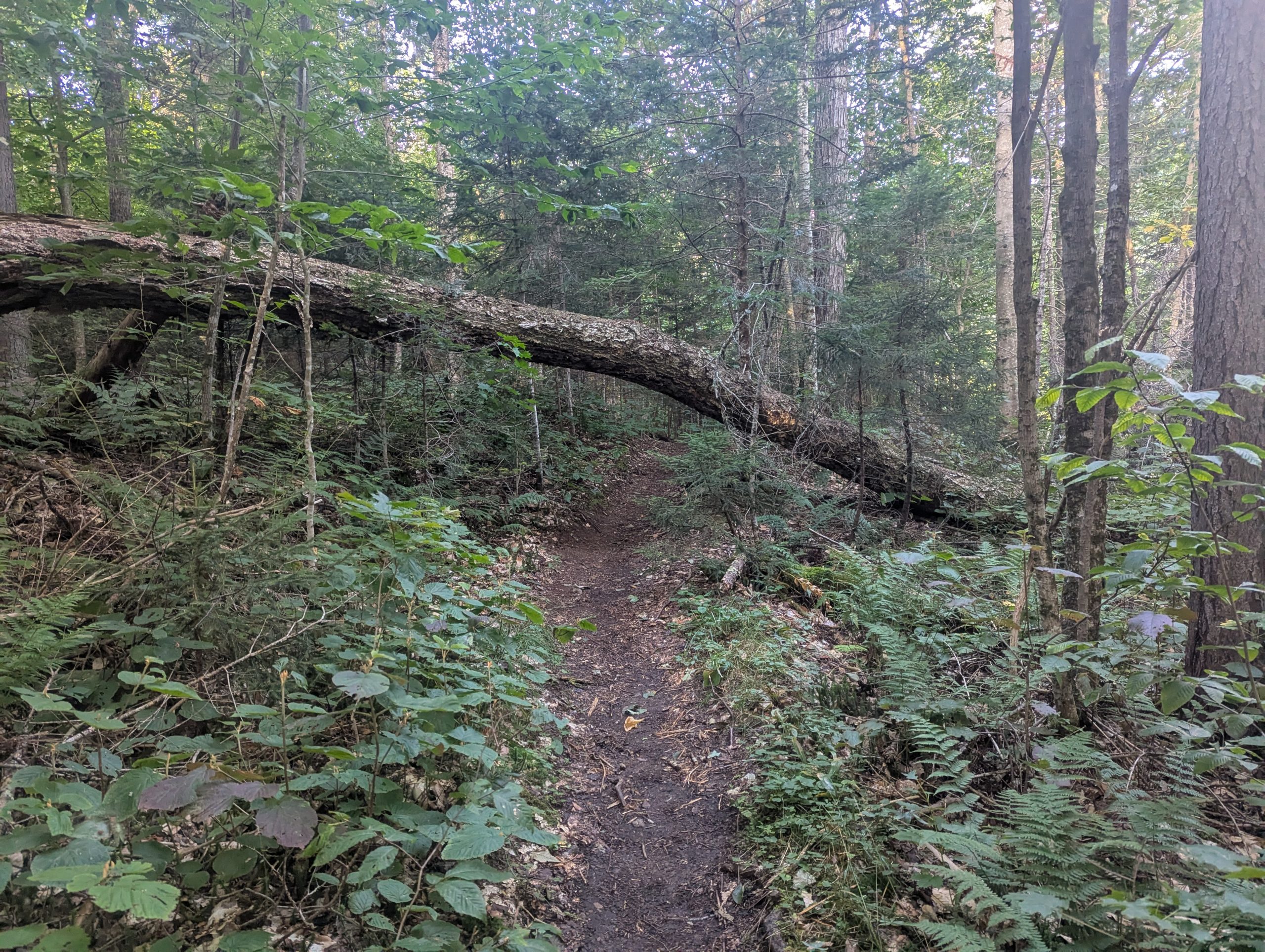
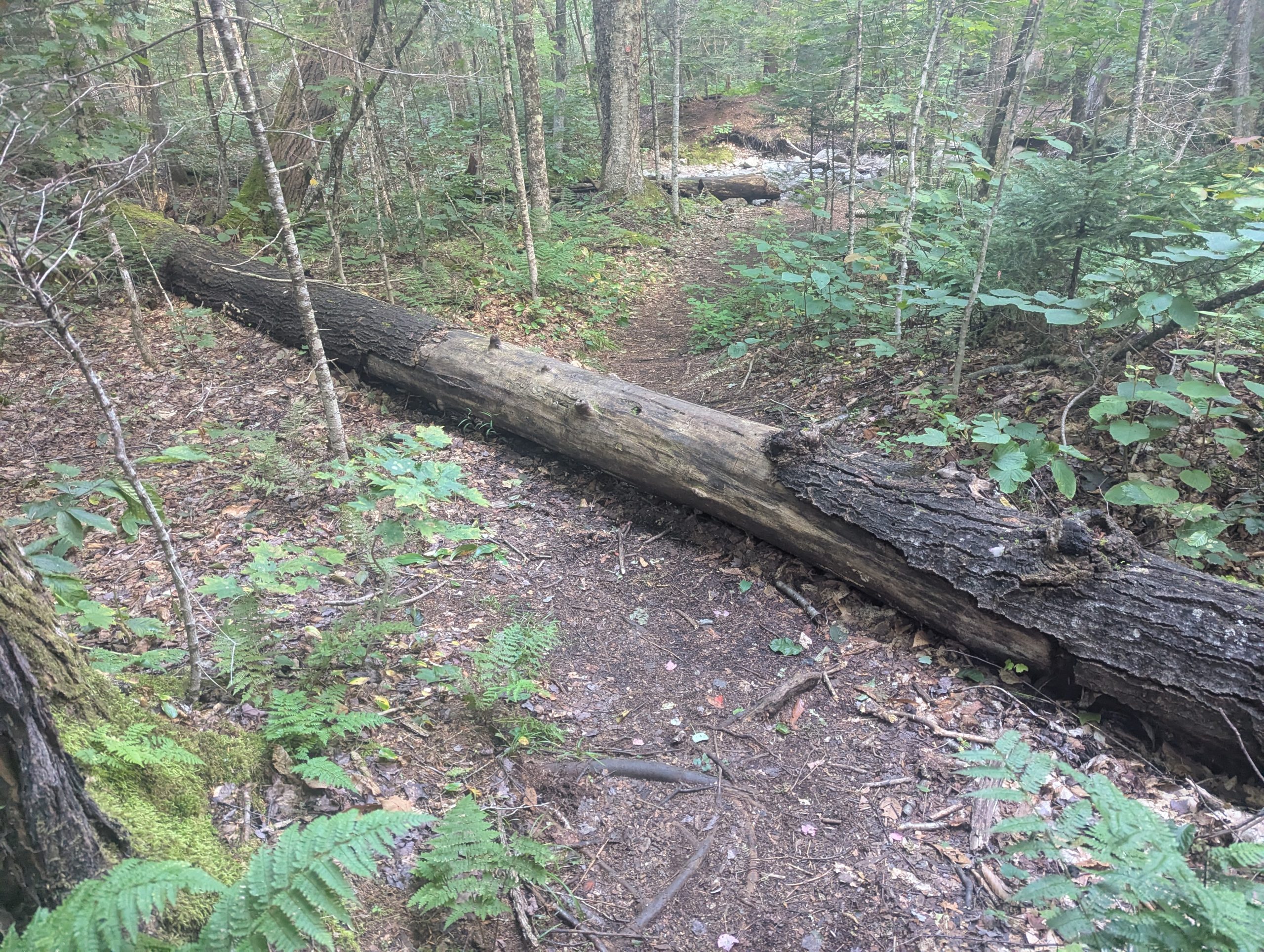
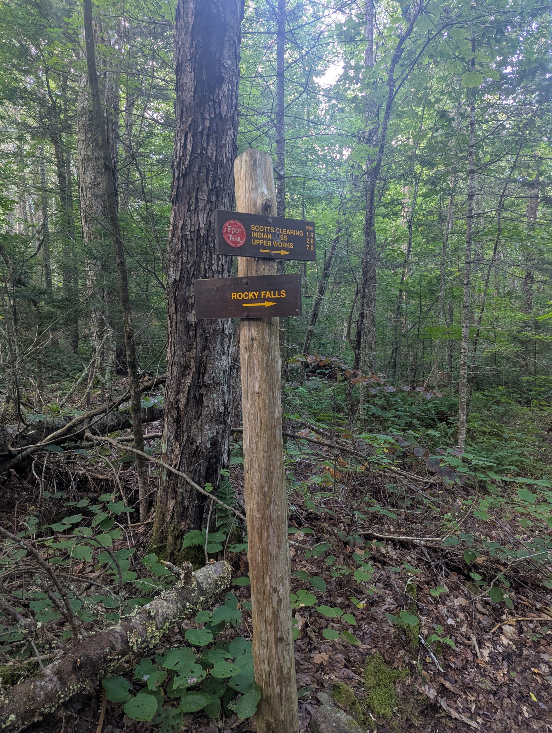
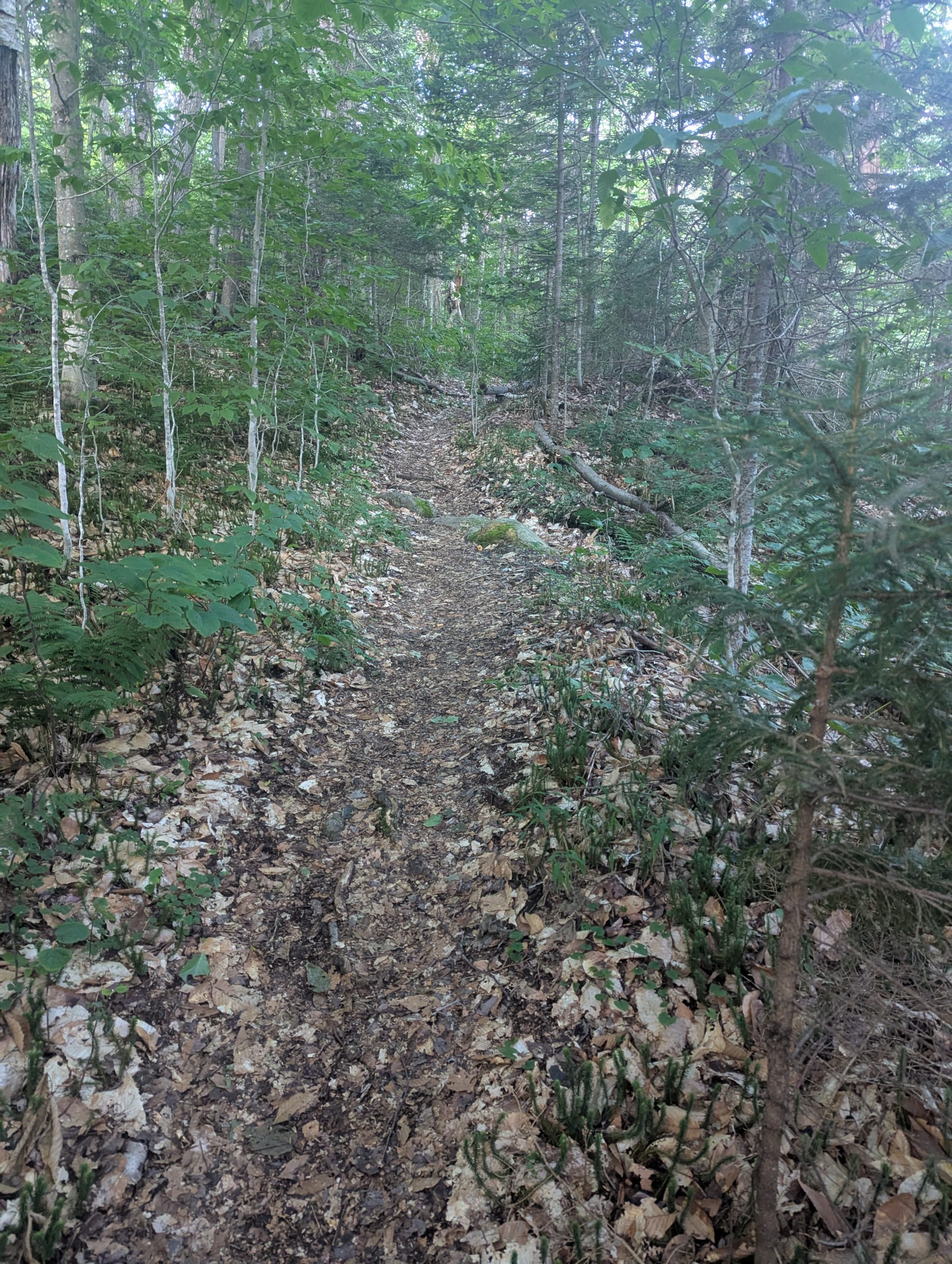
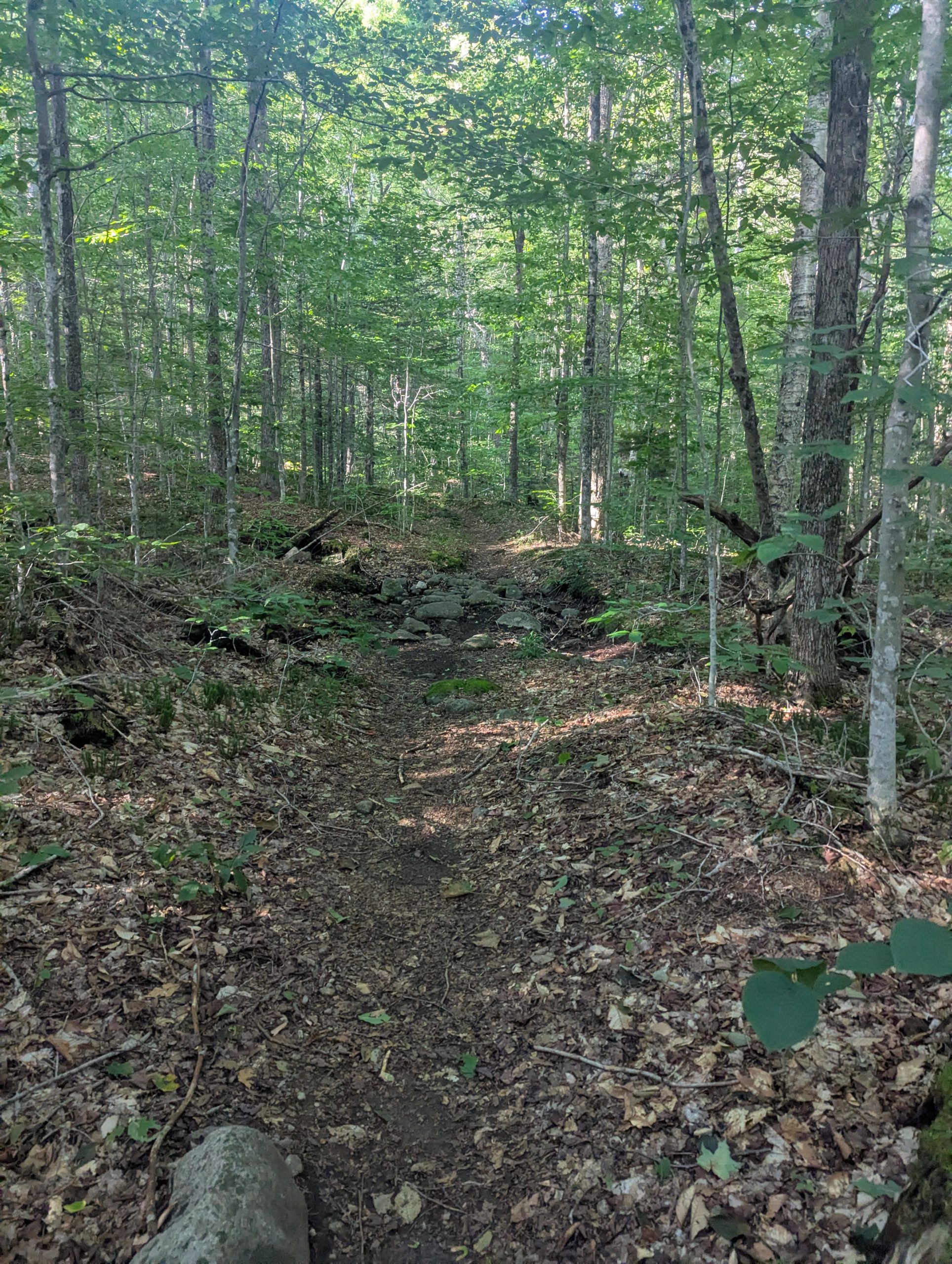
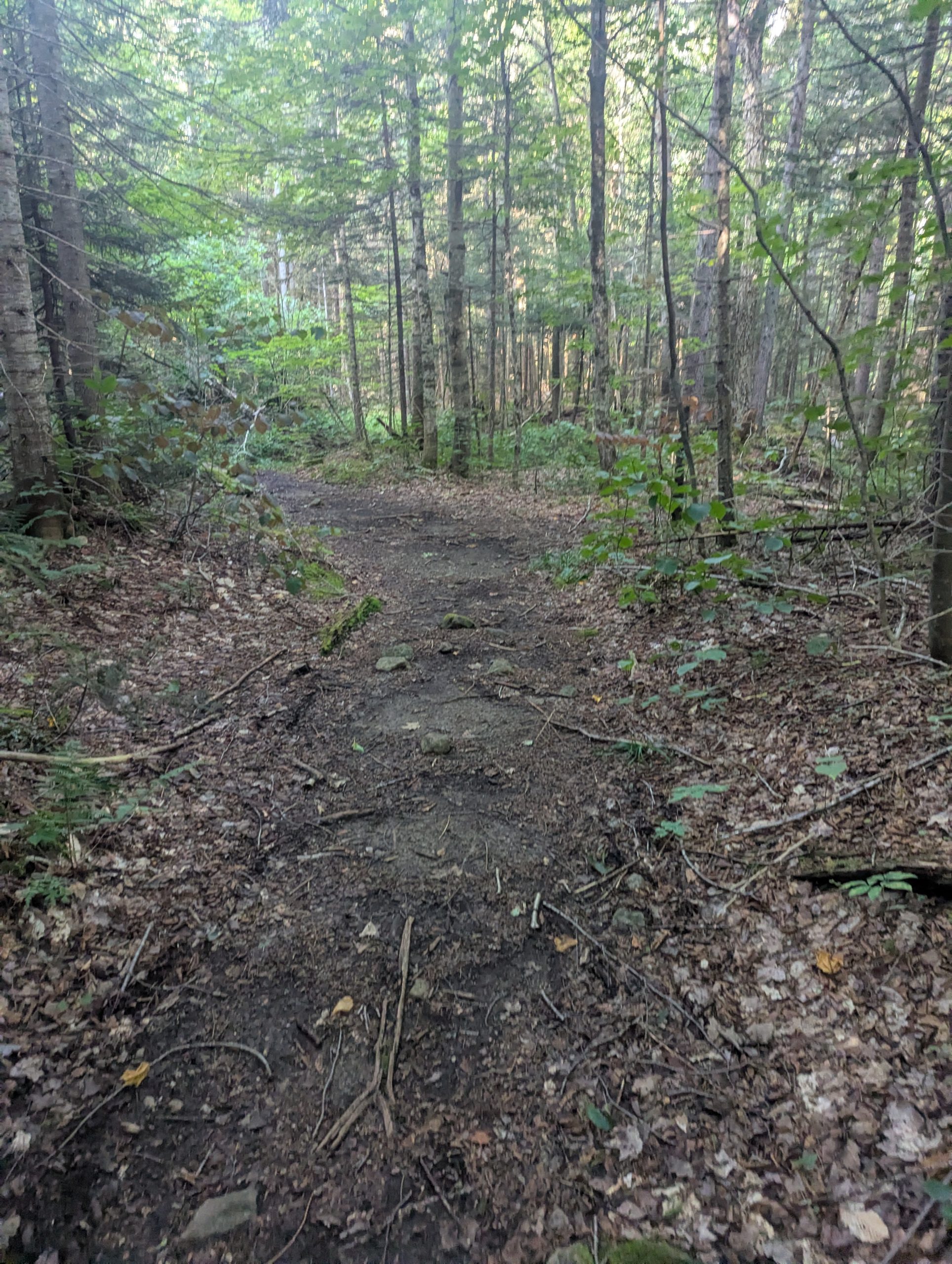
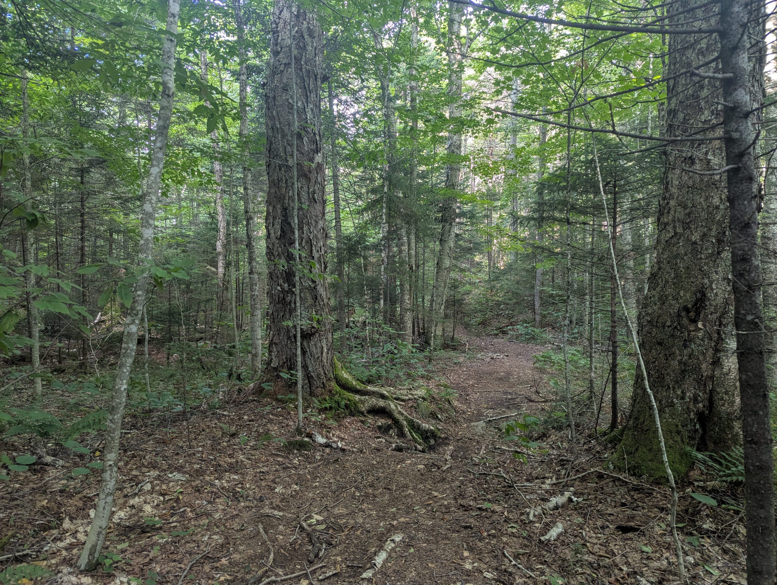
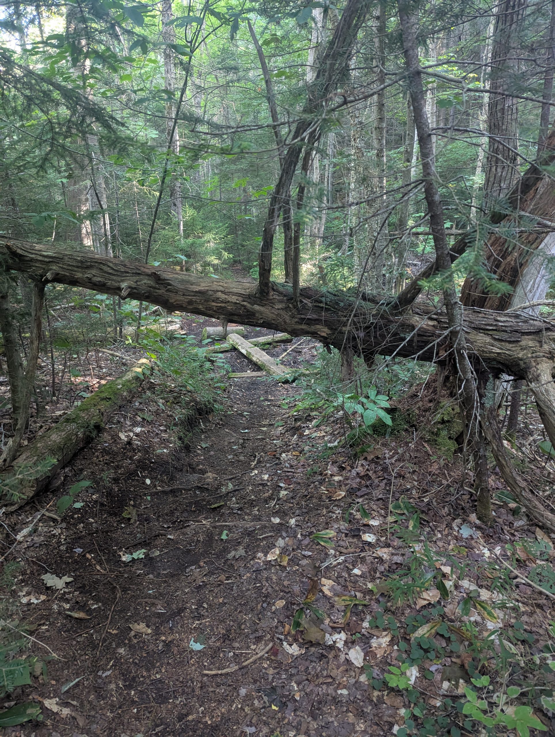
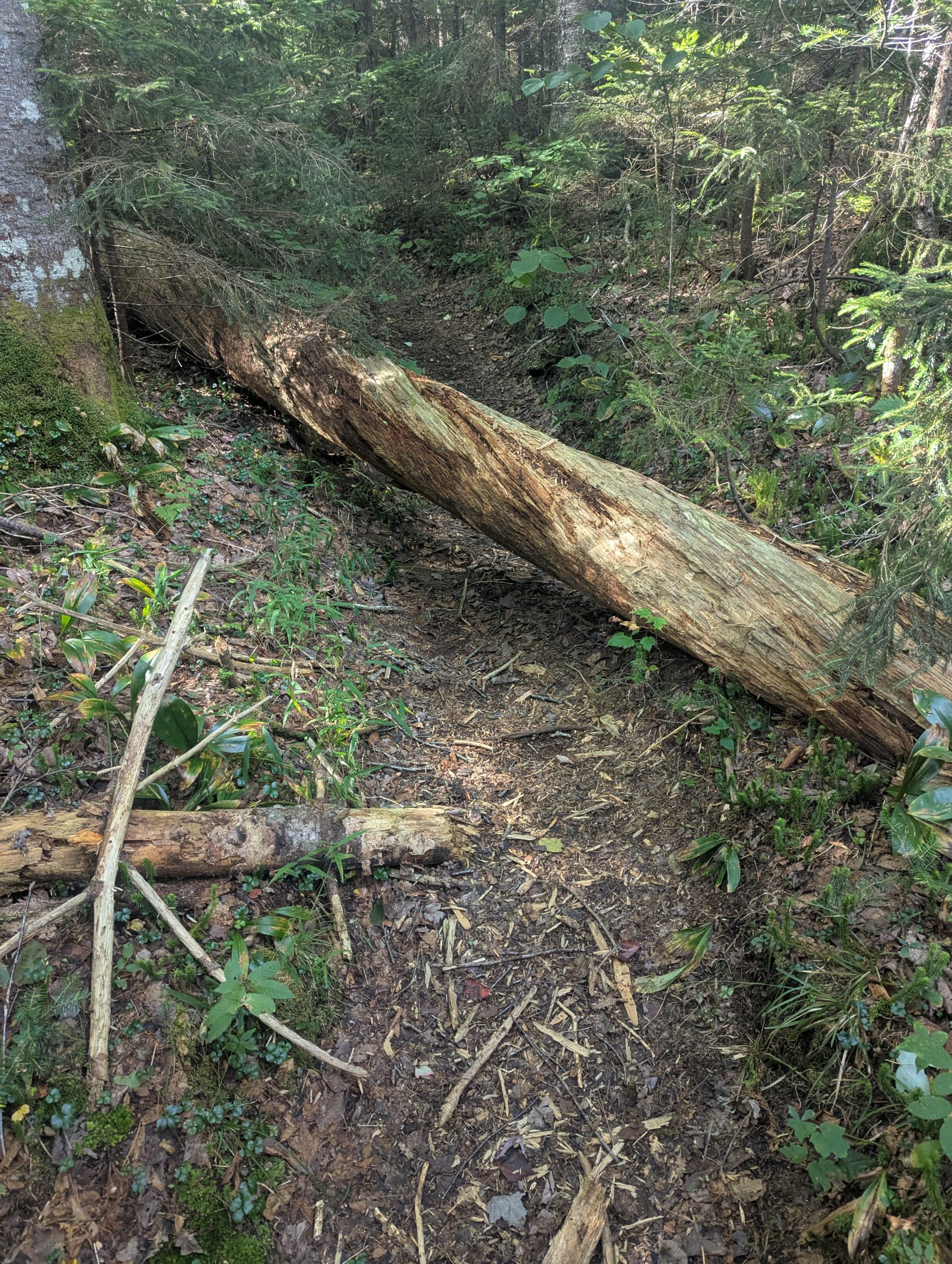
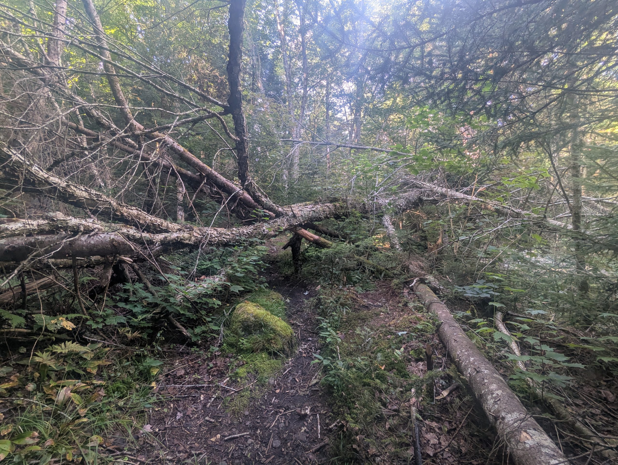
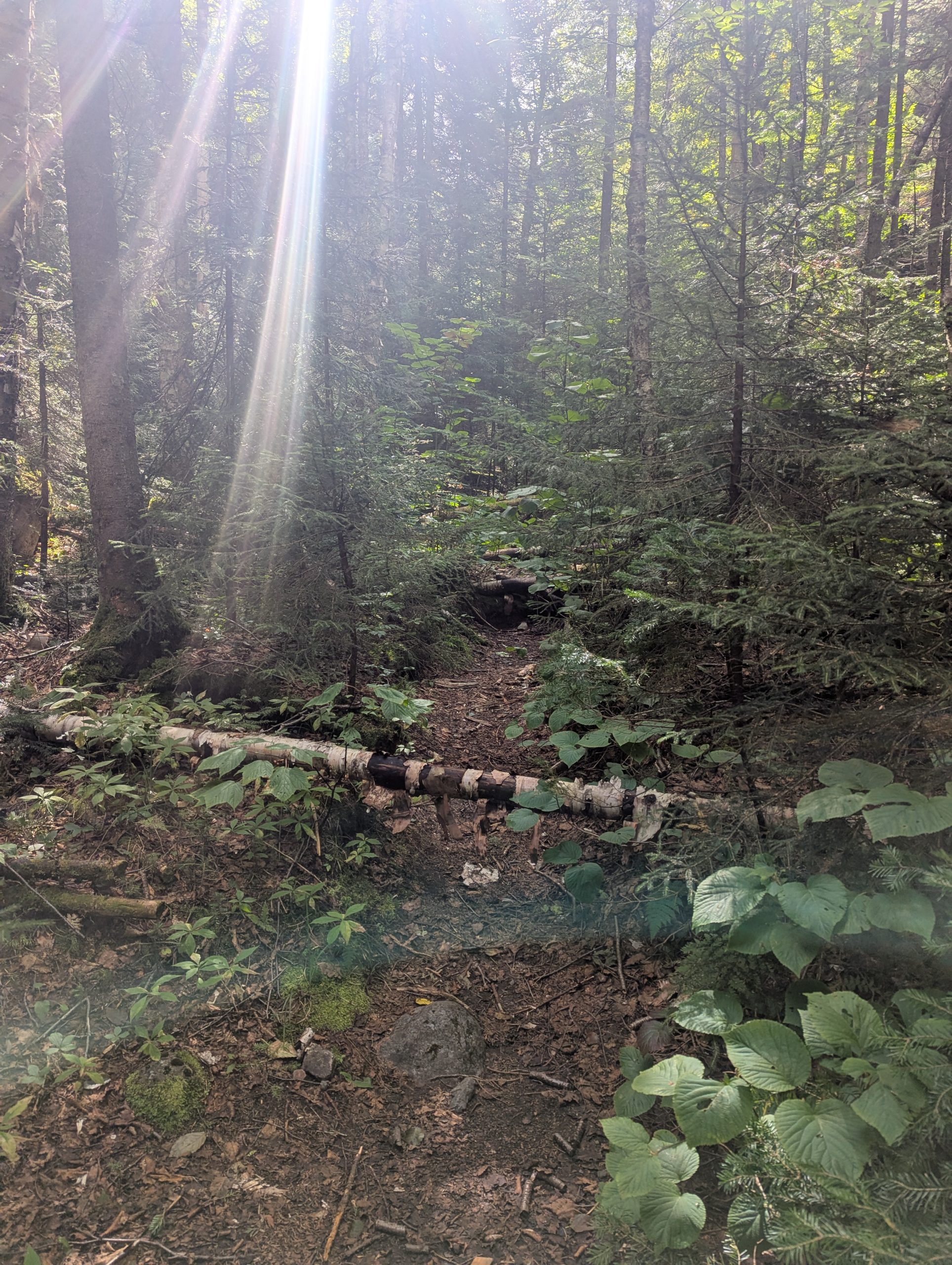
Parking at Adirondack Loj I set out toward the Indian Pass Trail. The stretch toward Rocky Falls was straightforward — a mix of easy walking and negotiating a fair bit of blow down. Rocky Falls was just past the Cold Brook junction and the Indian Pass Lean-to and from this point the trail becomes narrower and a little more difficult to follow.
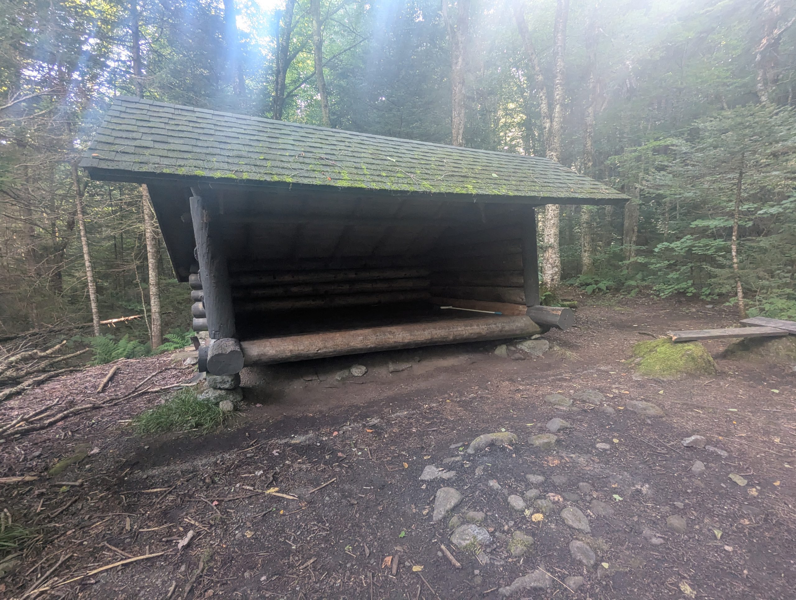
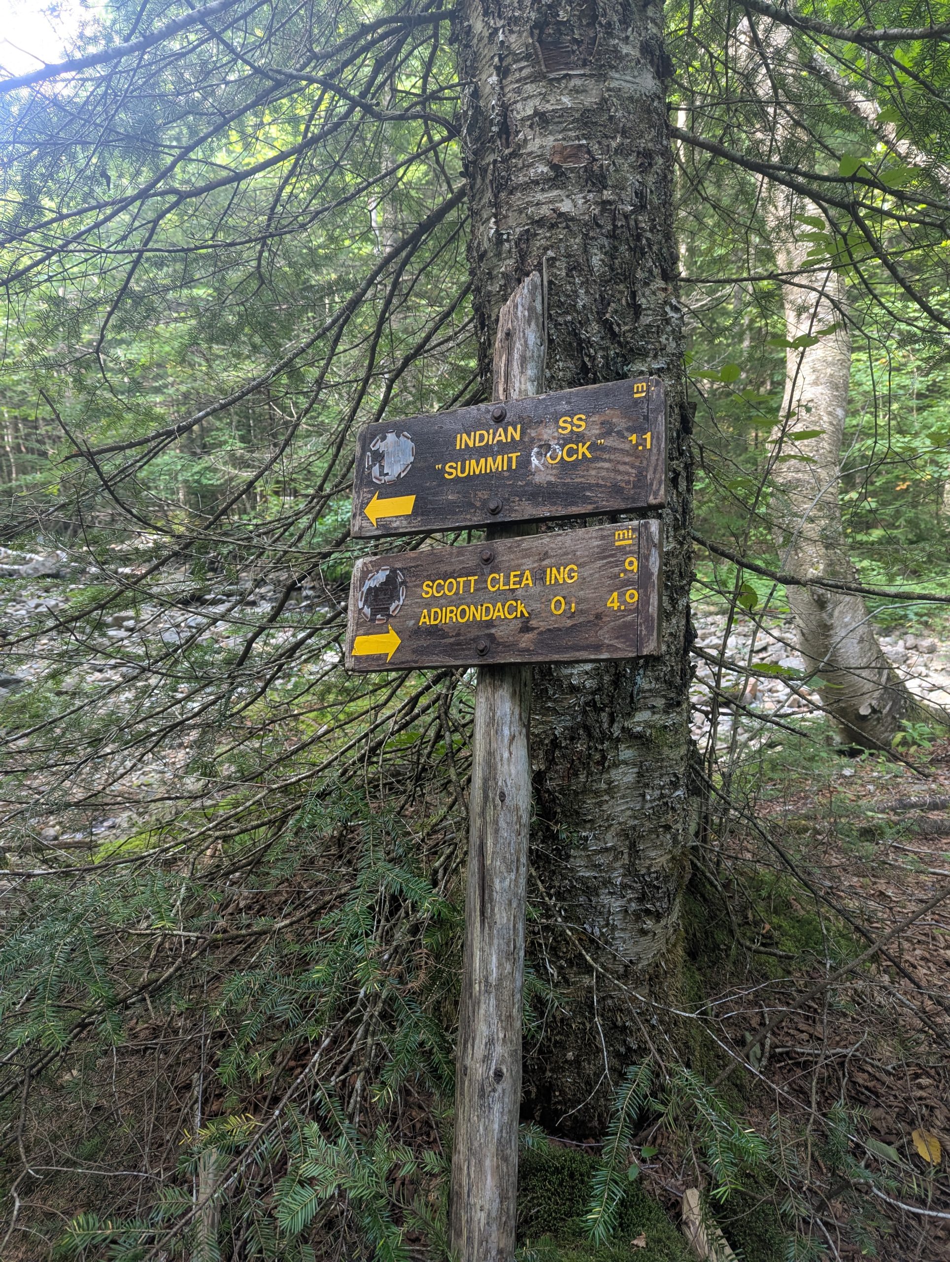
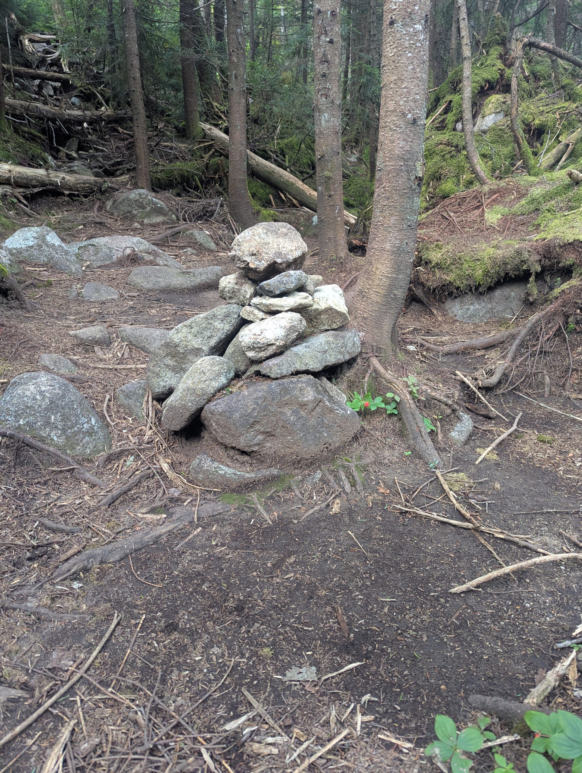
The Indian Pass Lean-to sits quietly just off the trail and some of the trail blazes at this point are very misleading and can result in heading in the wrong direction. A quick backtrack and up the correct trail brings you to the junction with the Cold Brook Trail which heads up between Marshal and Iroquois before descending to Lake Colden.
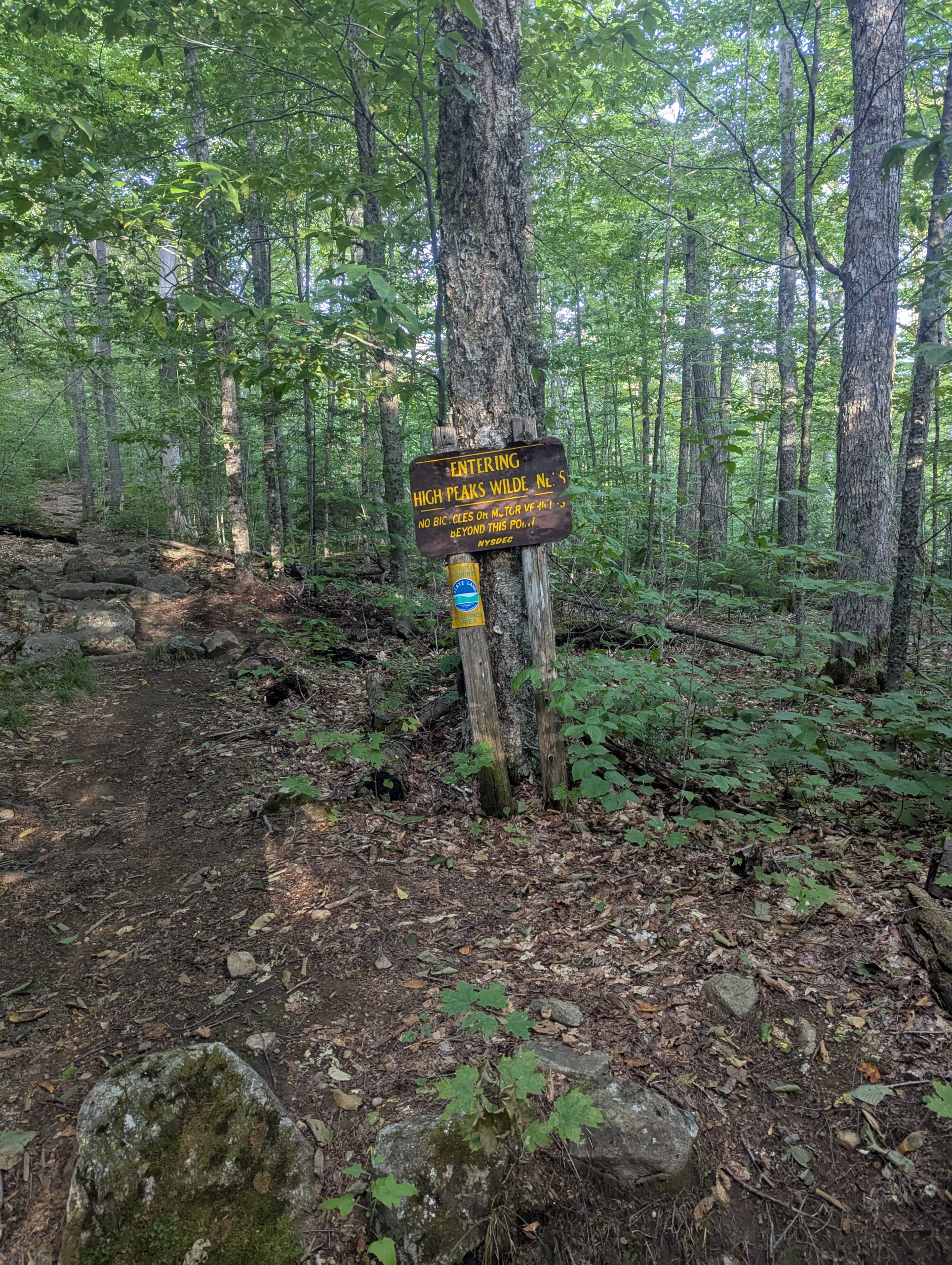
The Cold Brook Trail
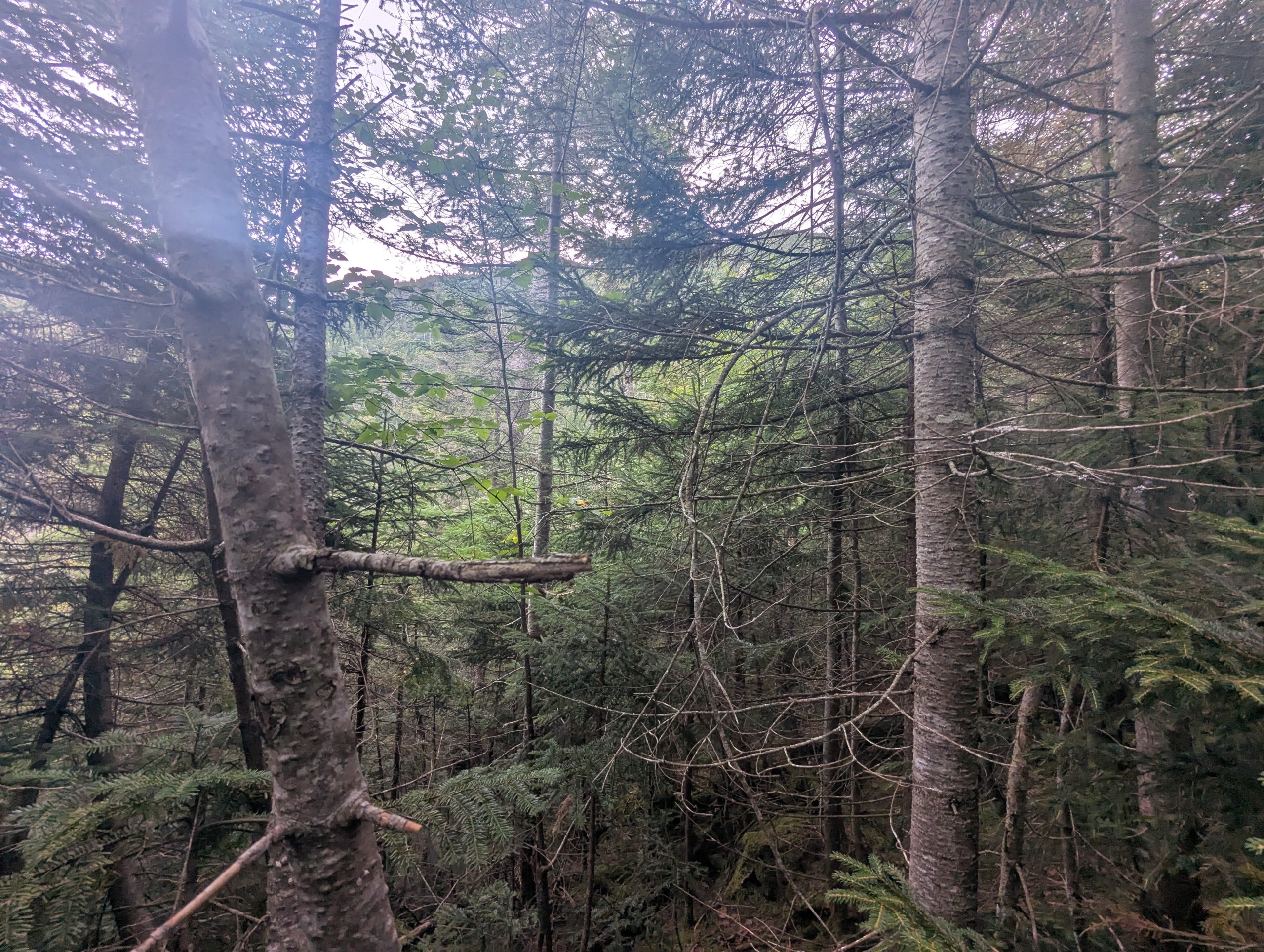
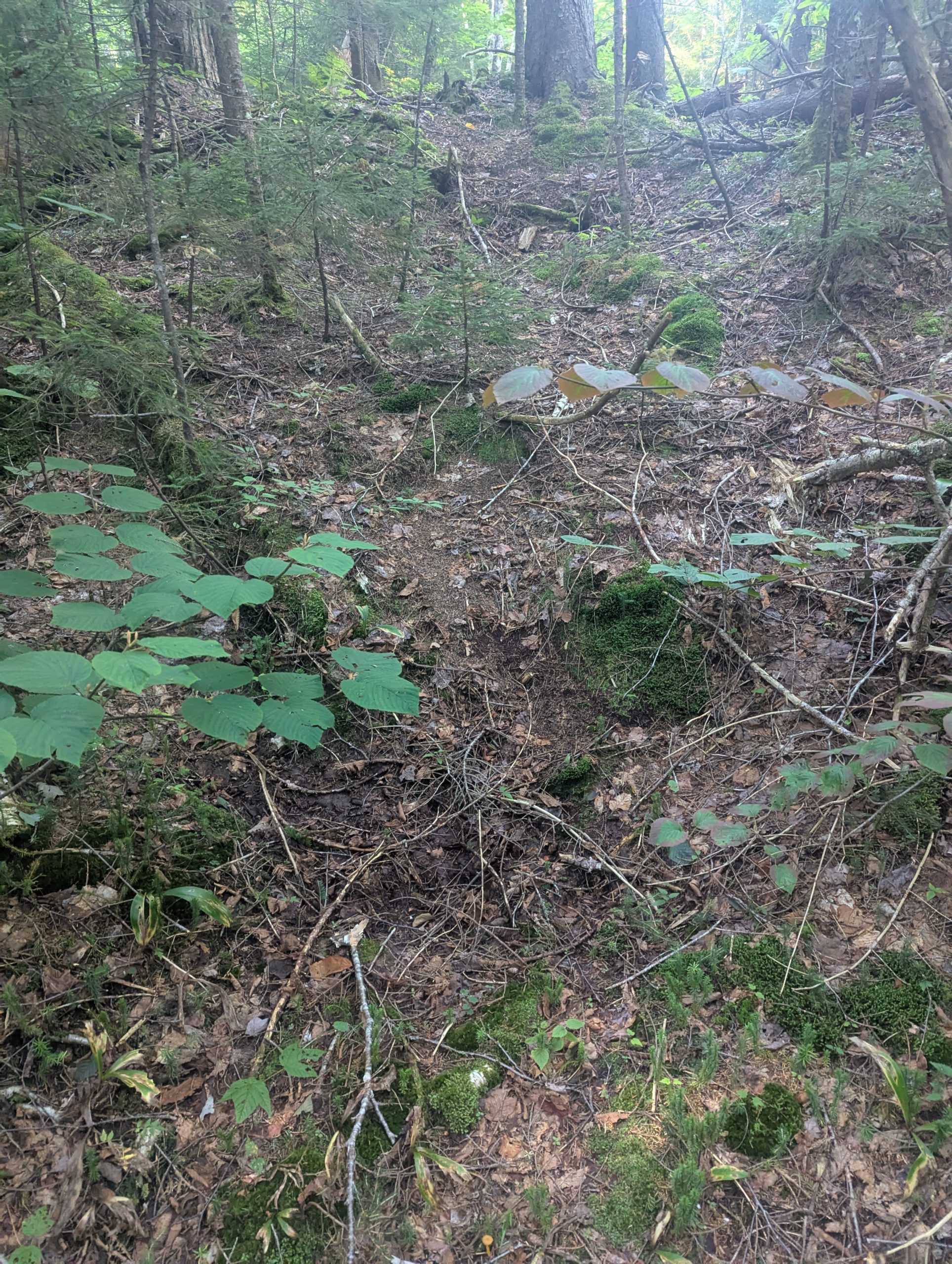
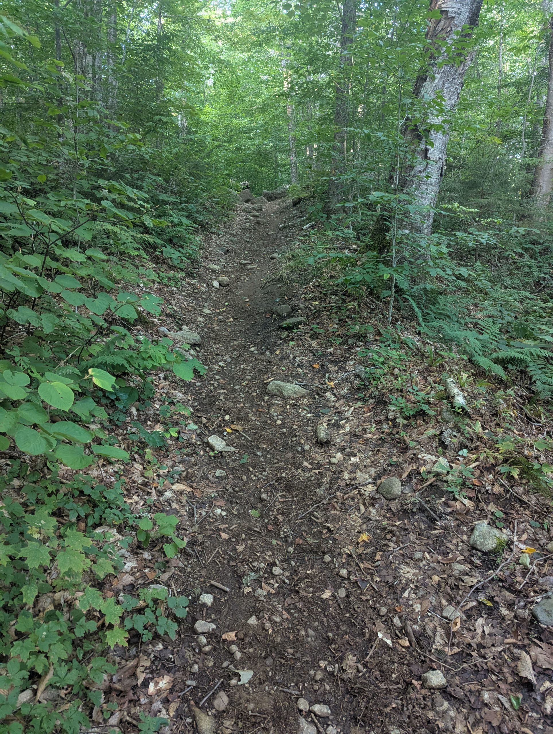
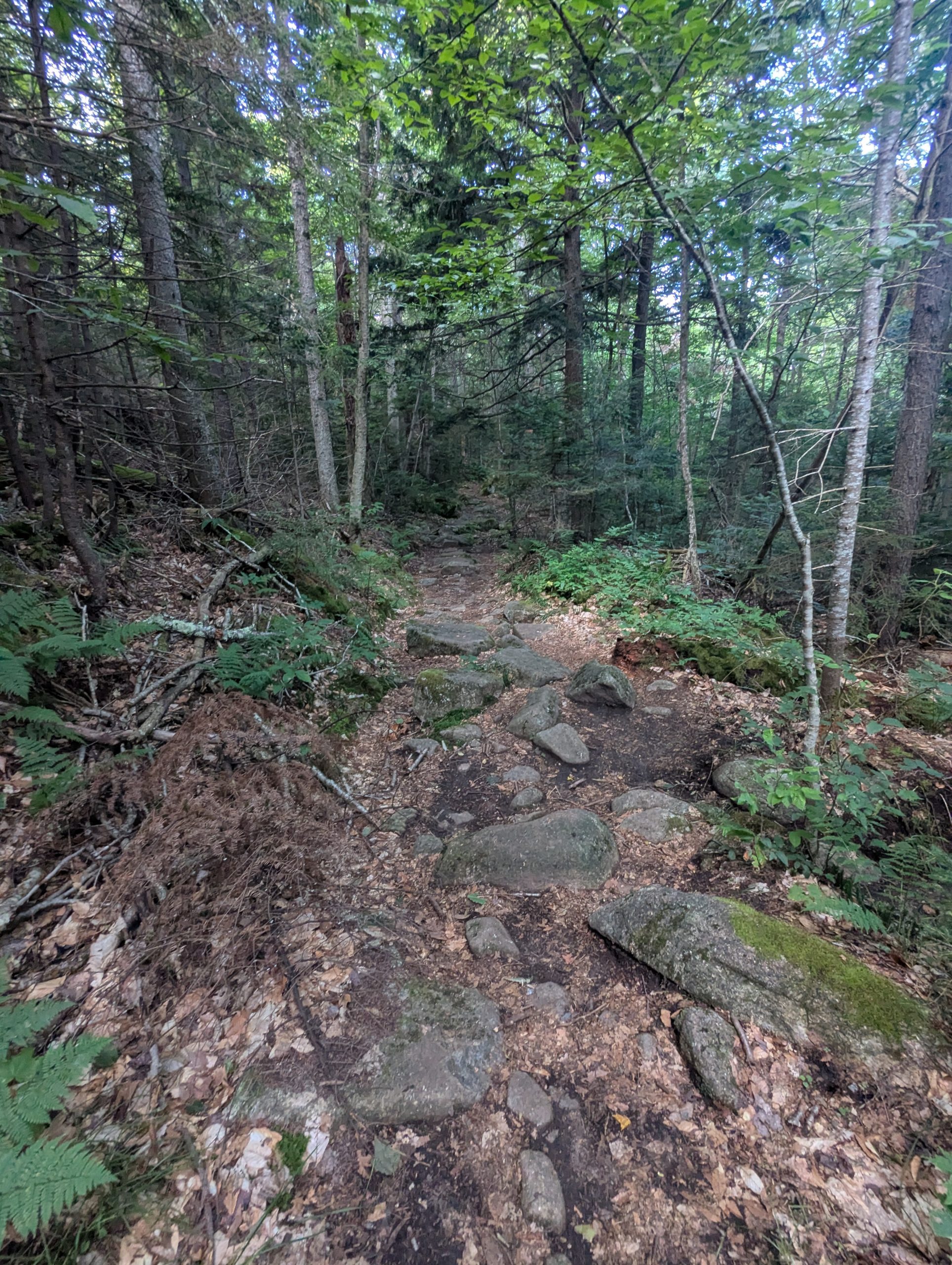
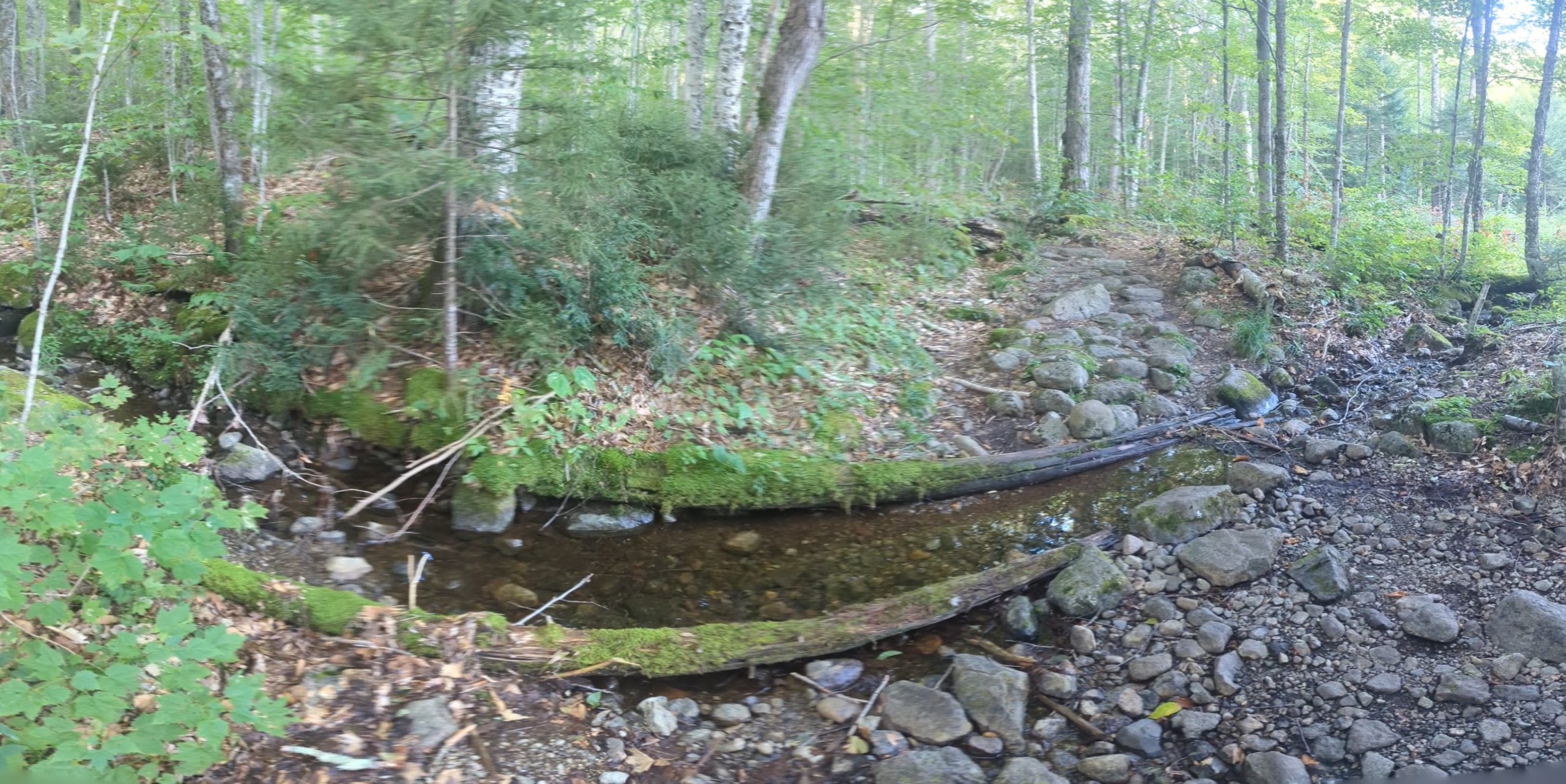
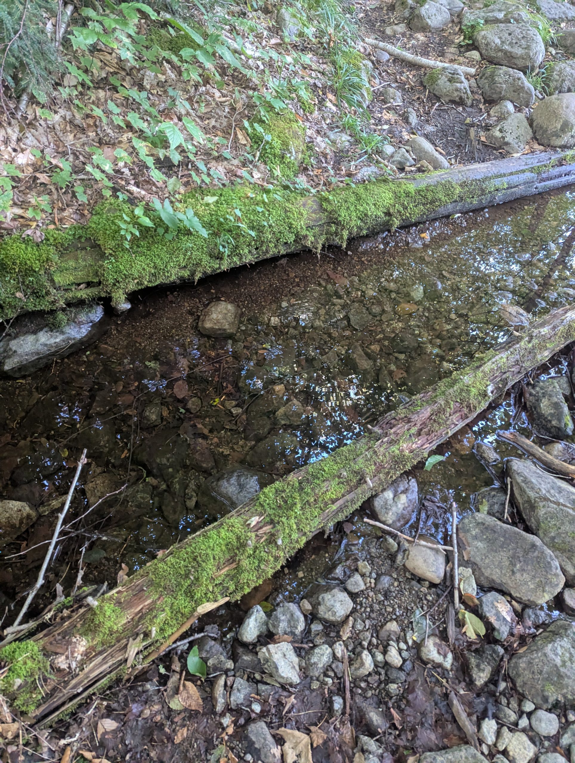
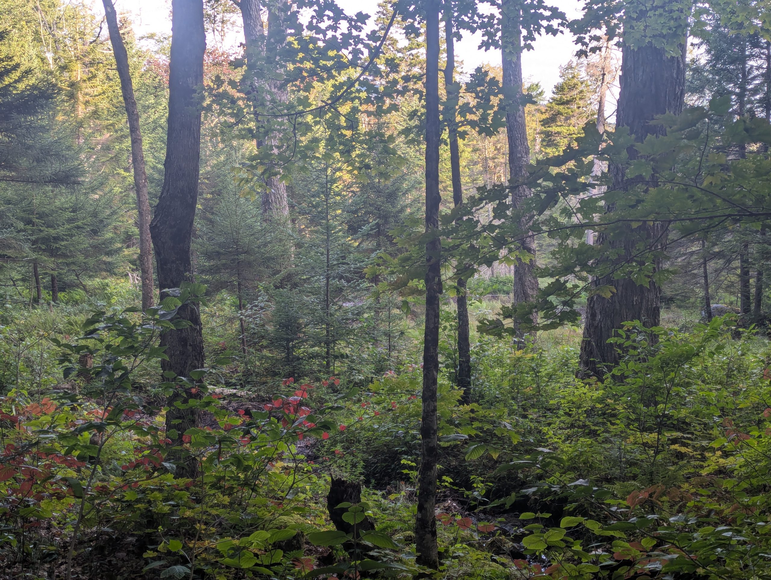
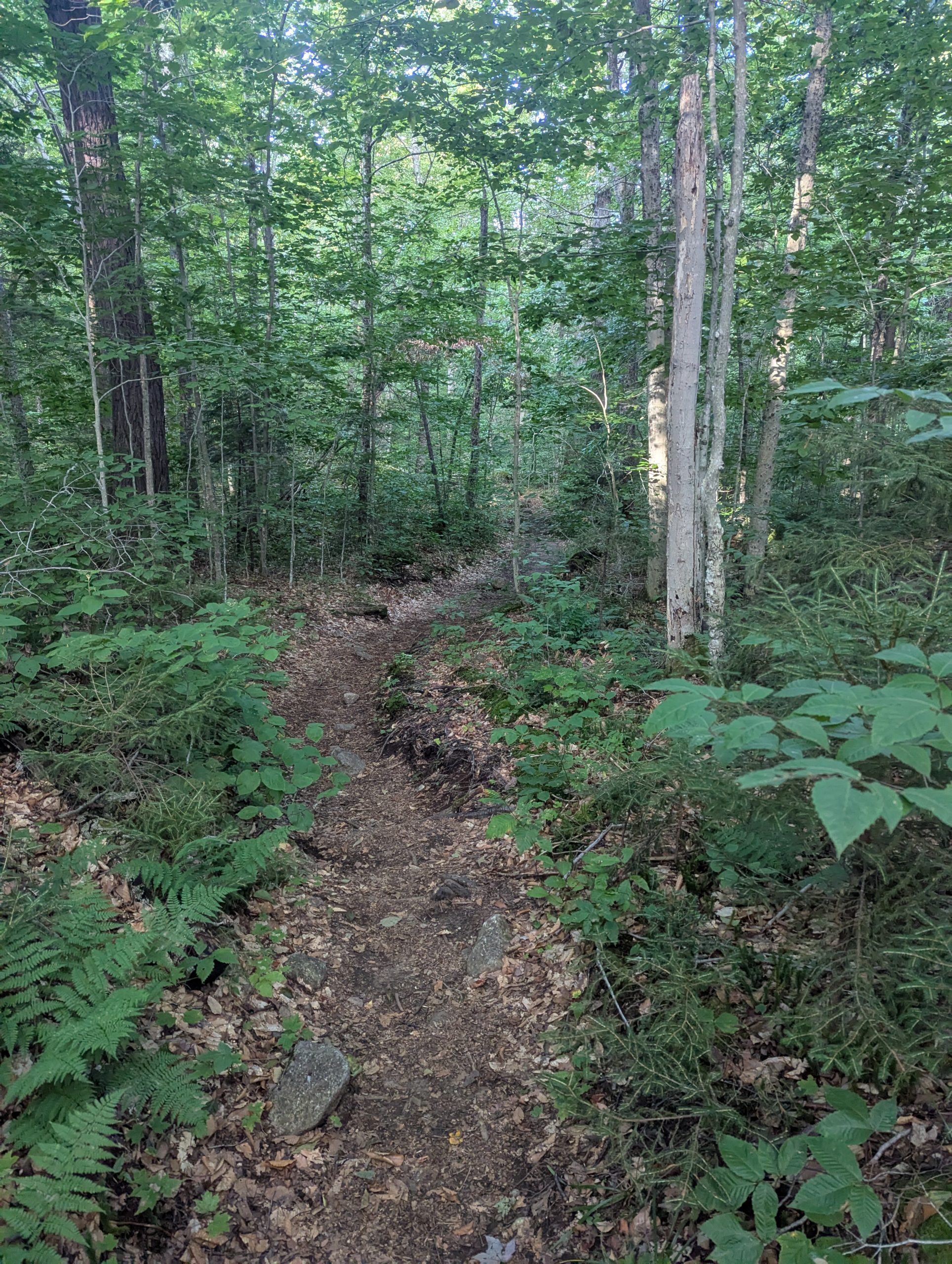
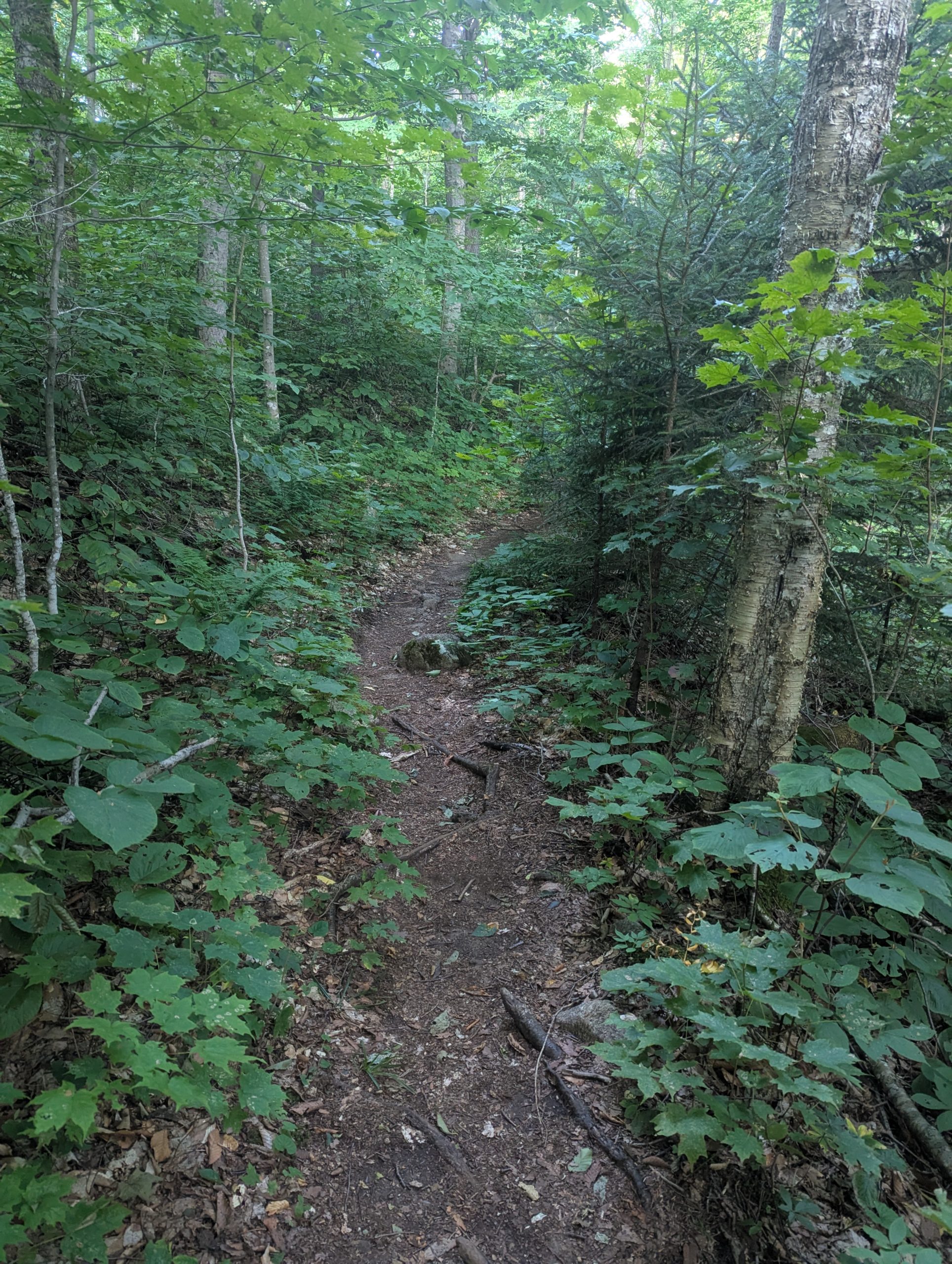
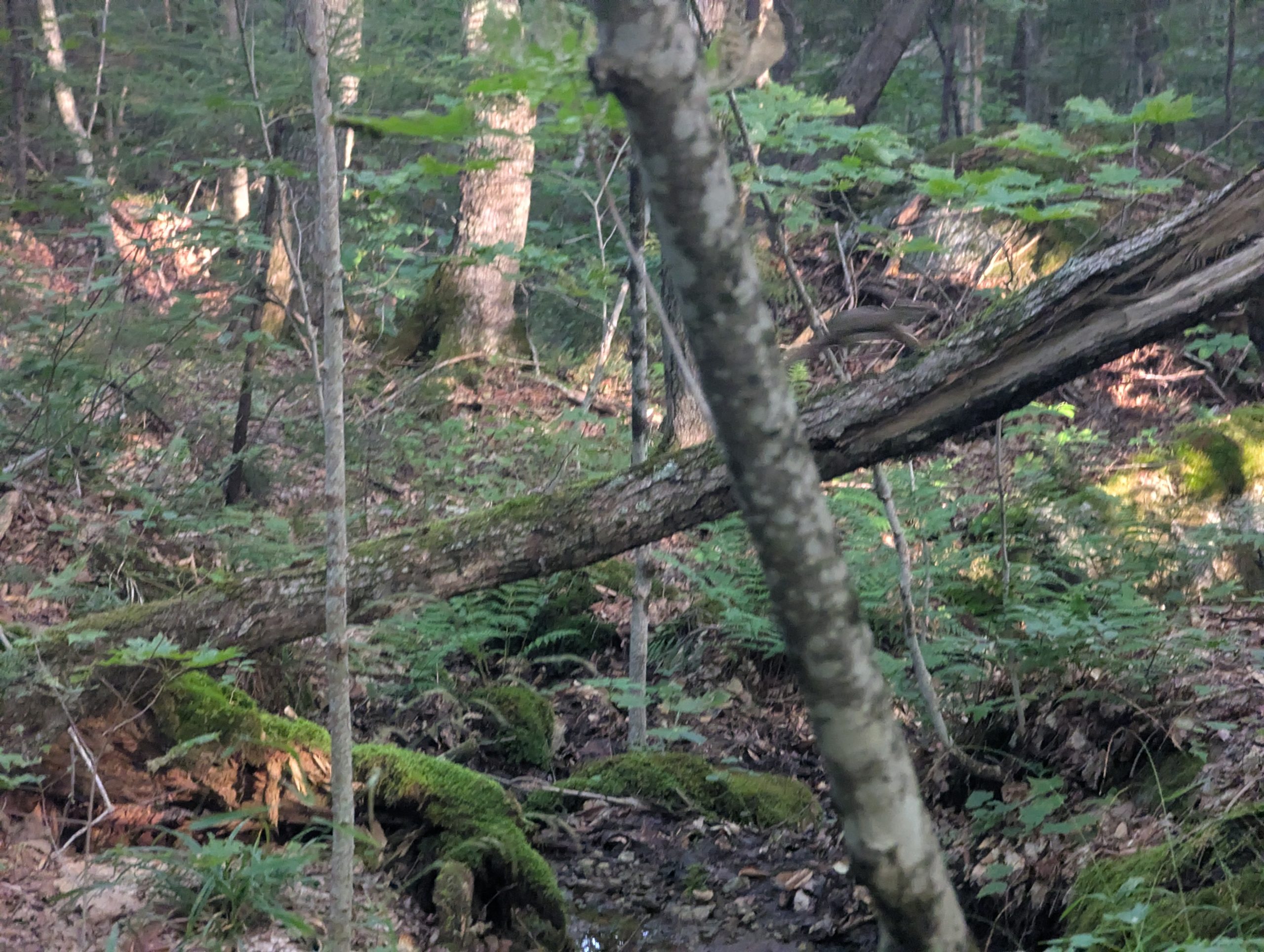
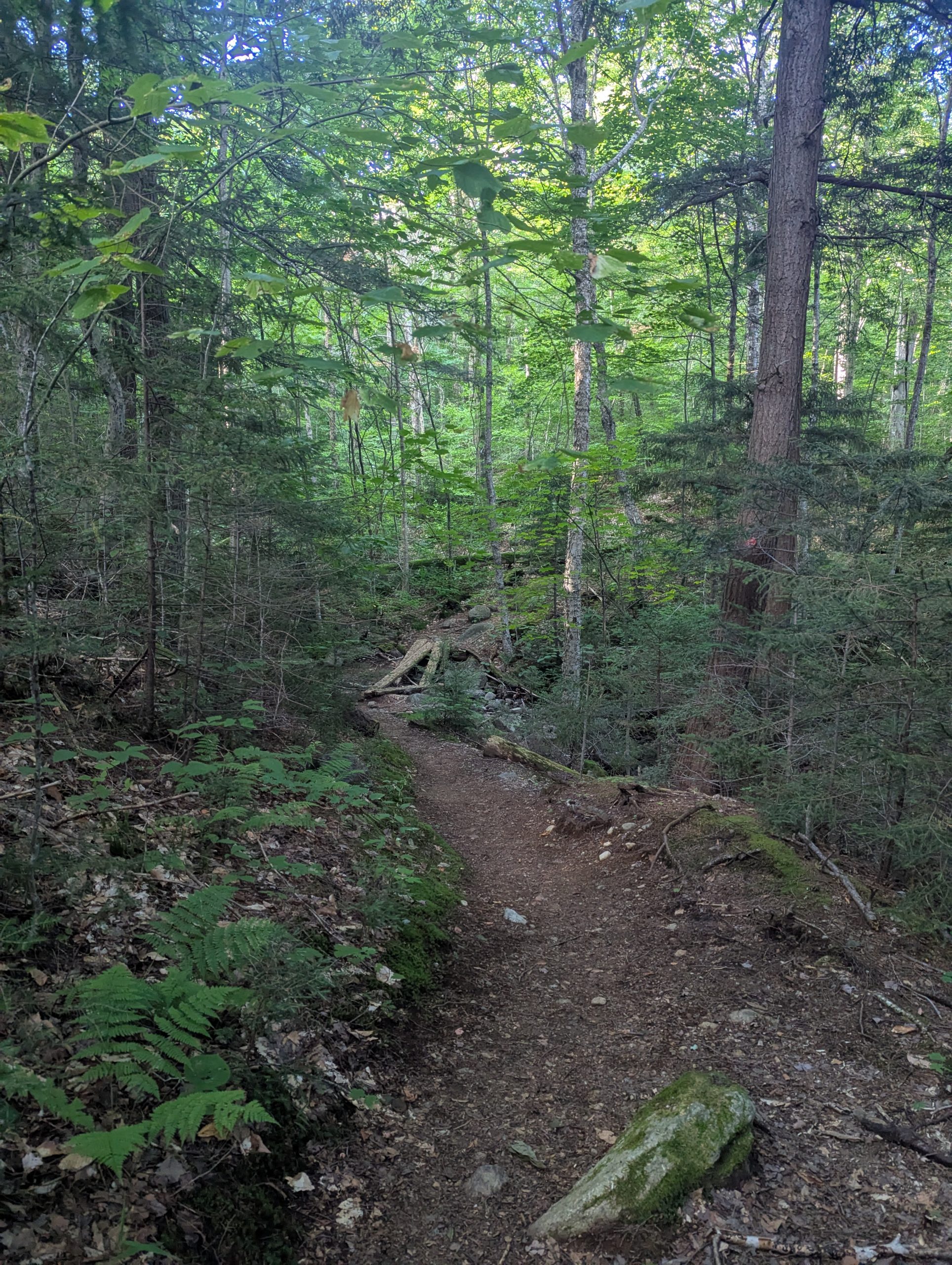
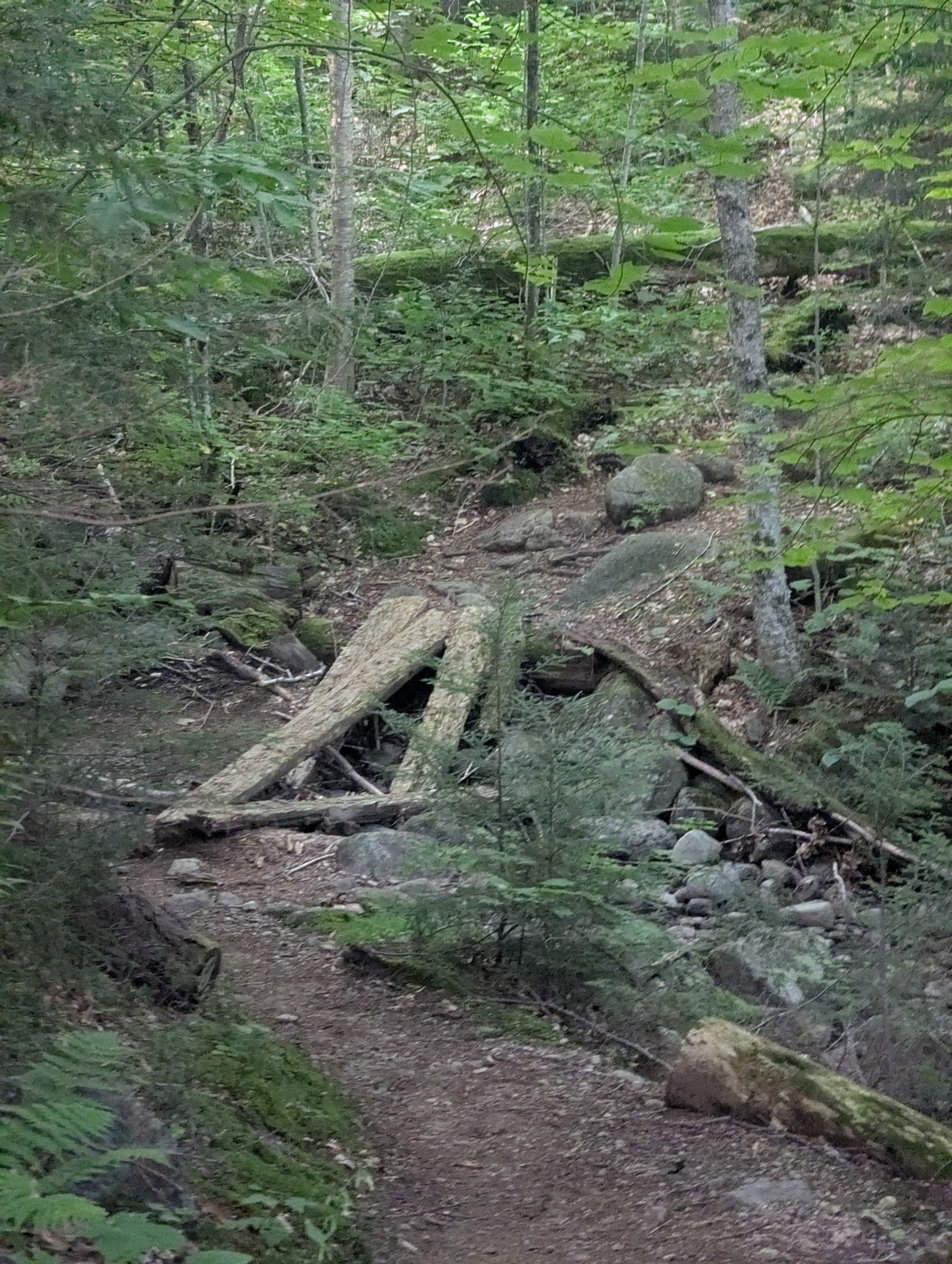
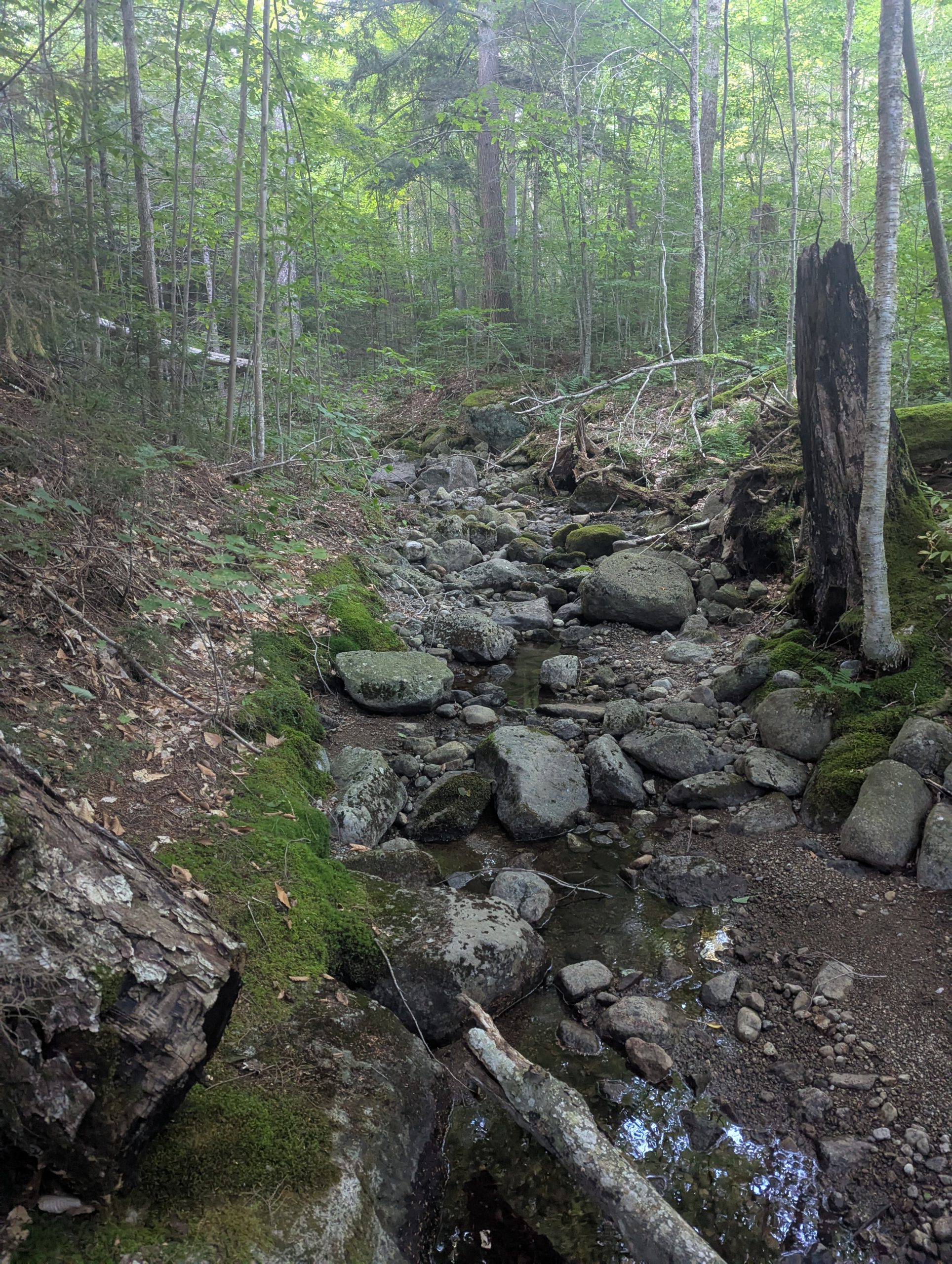
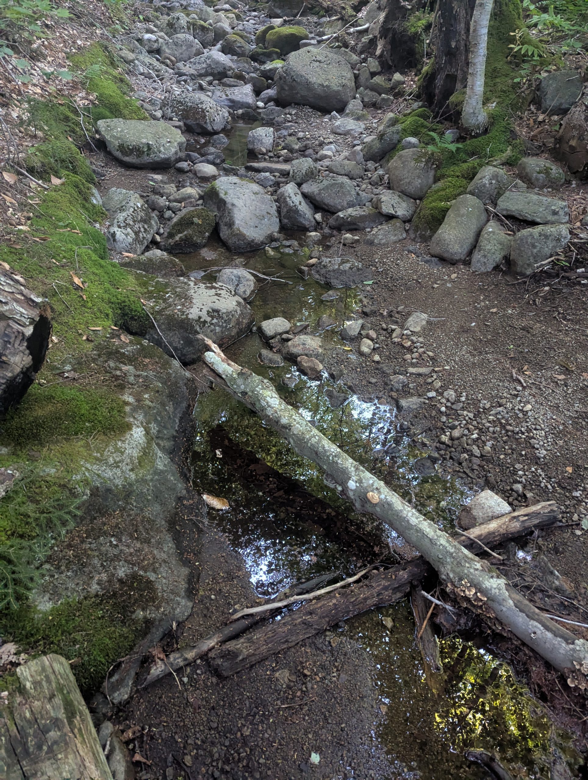
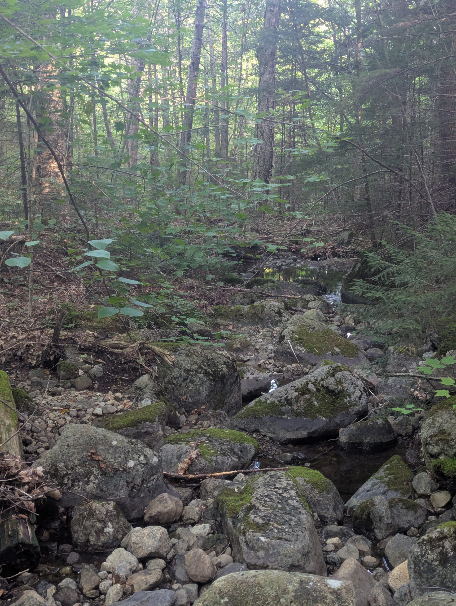
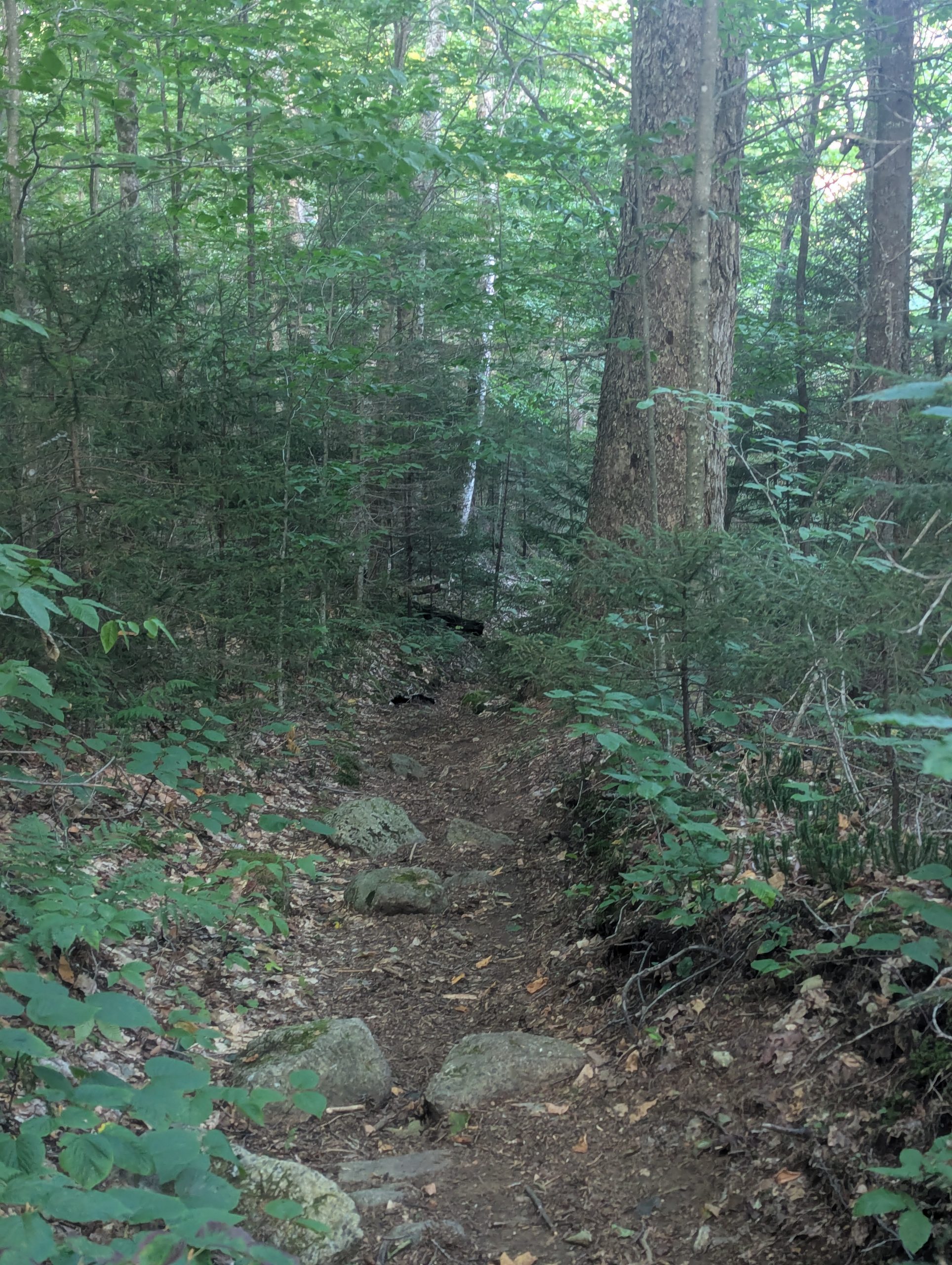
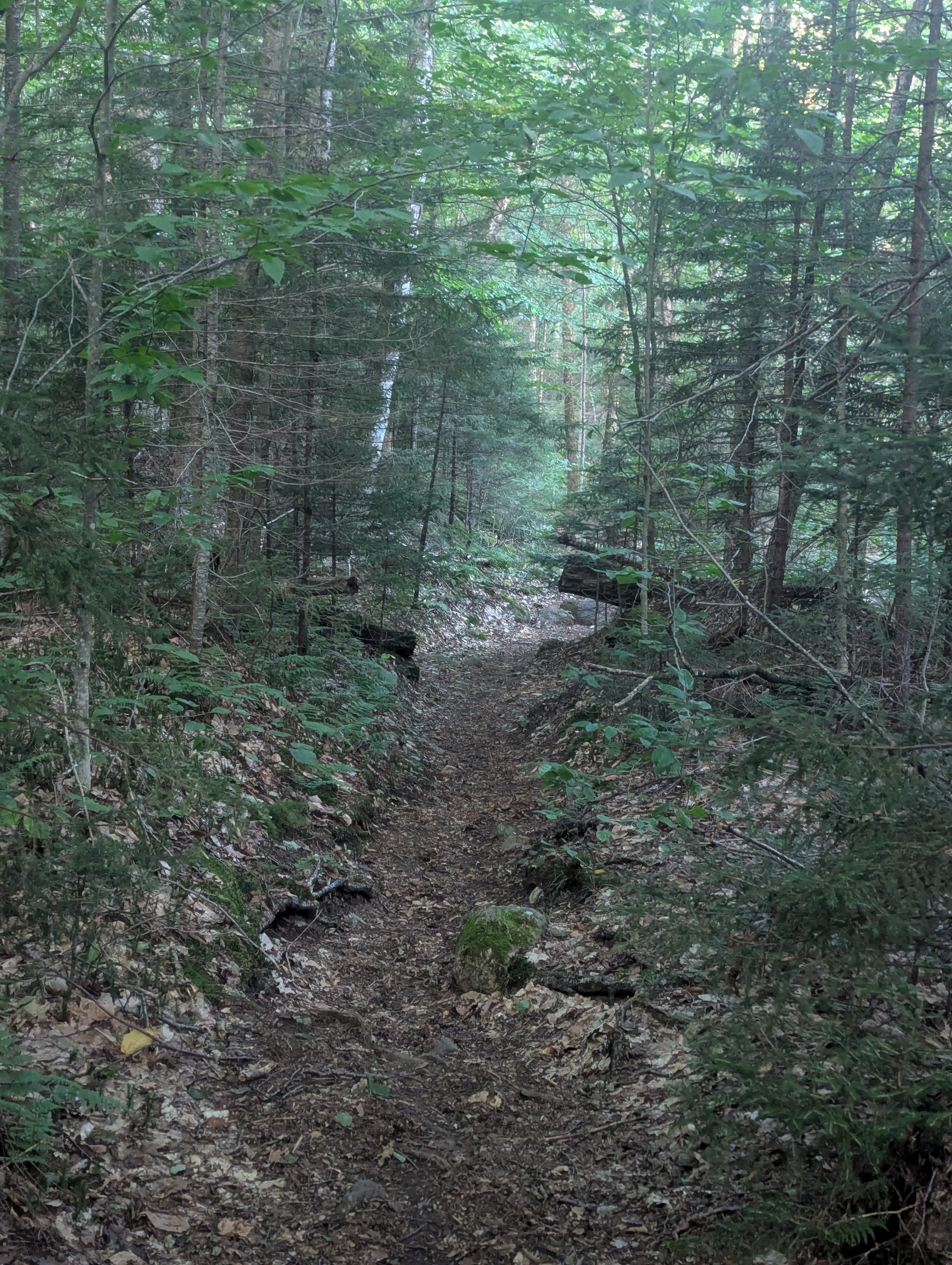
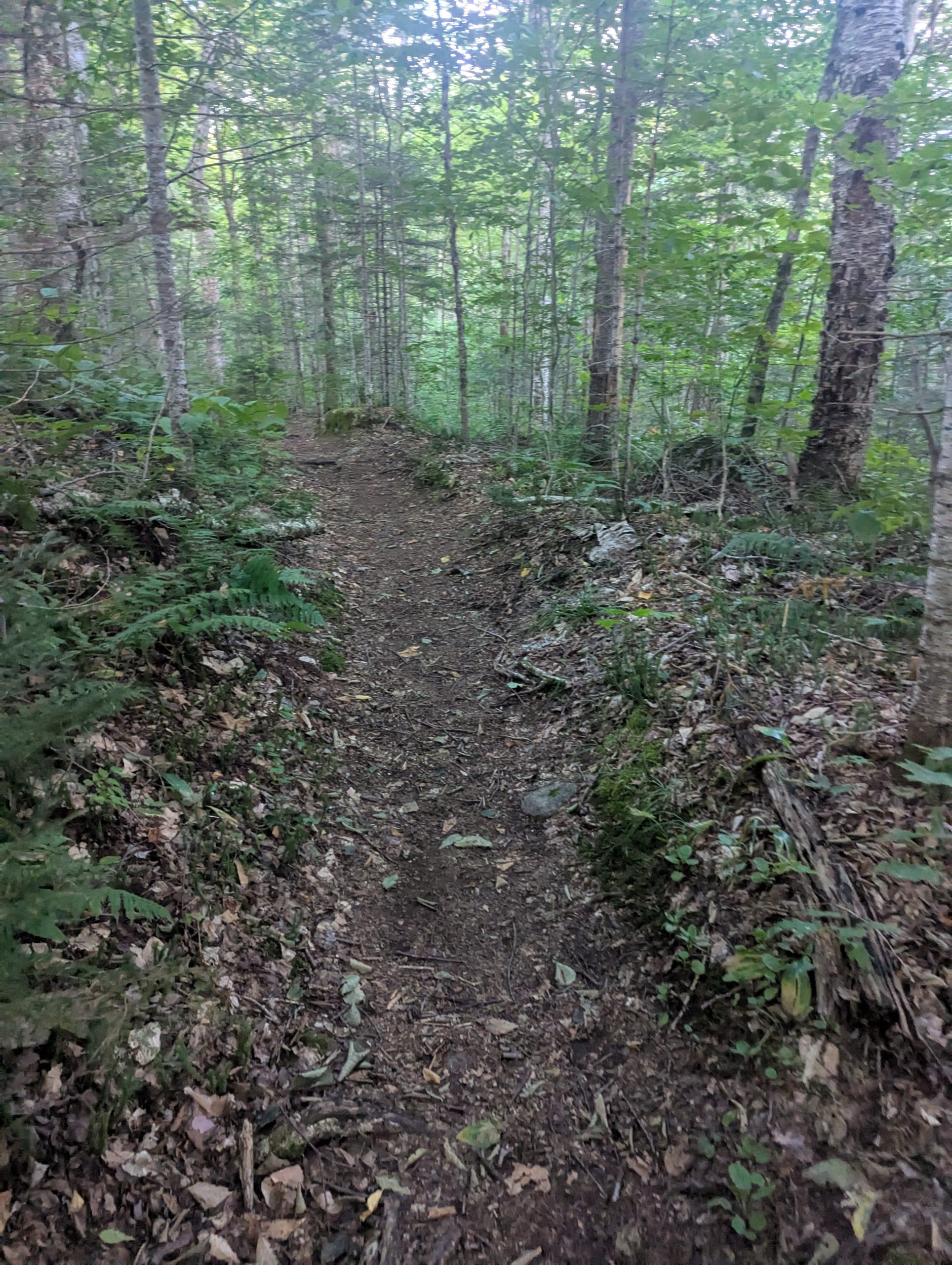
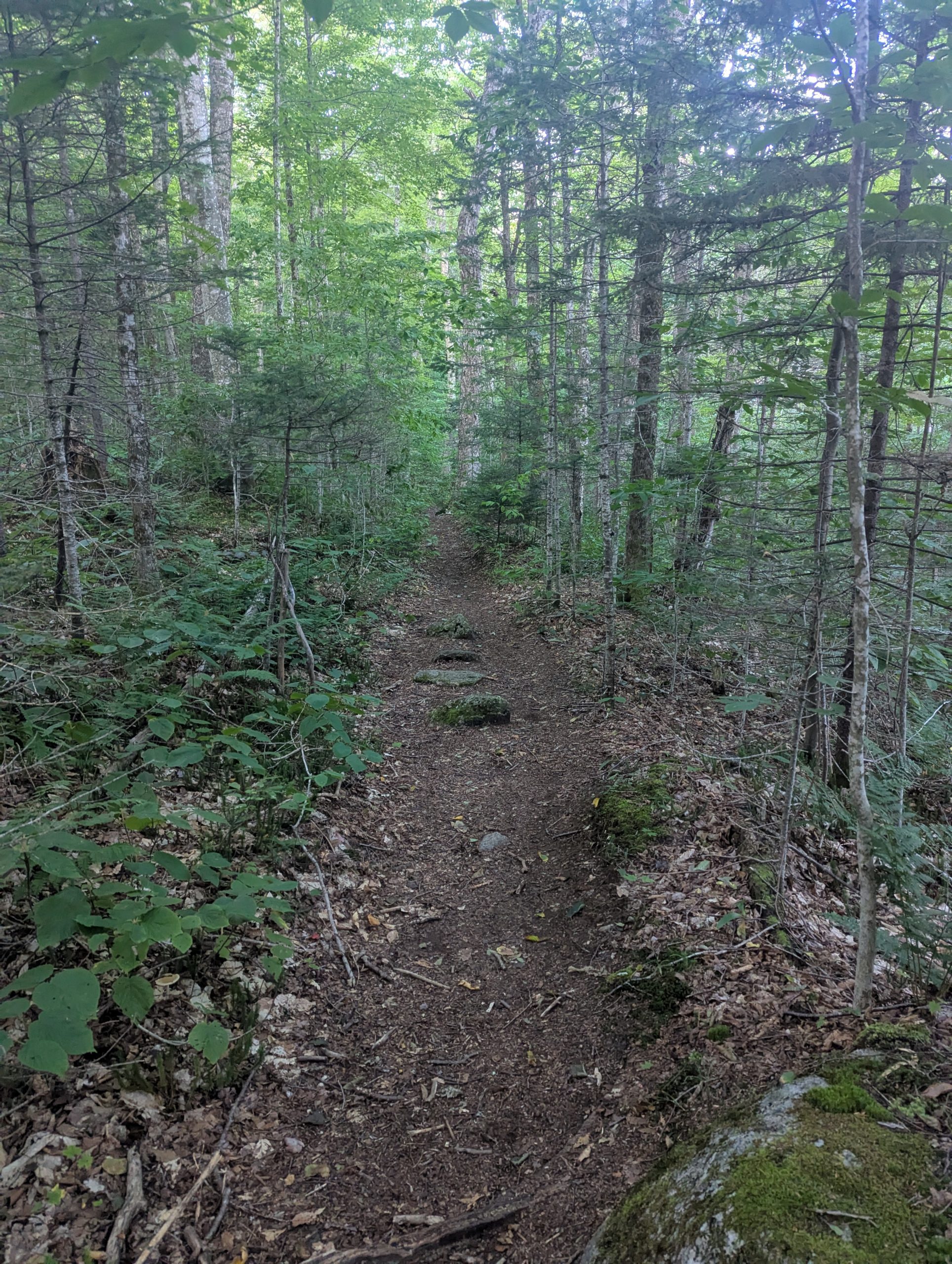
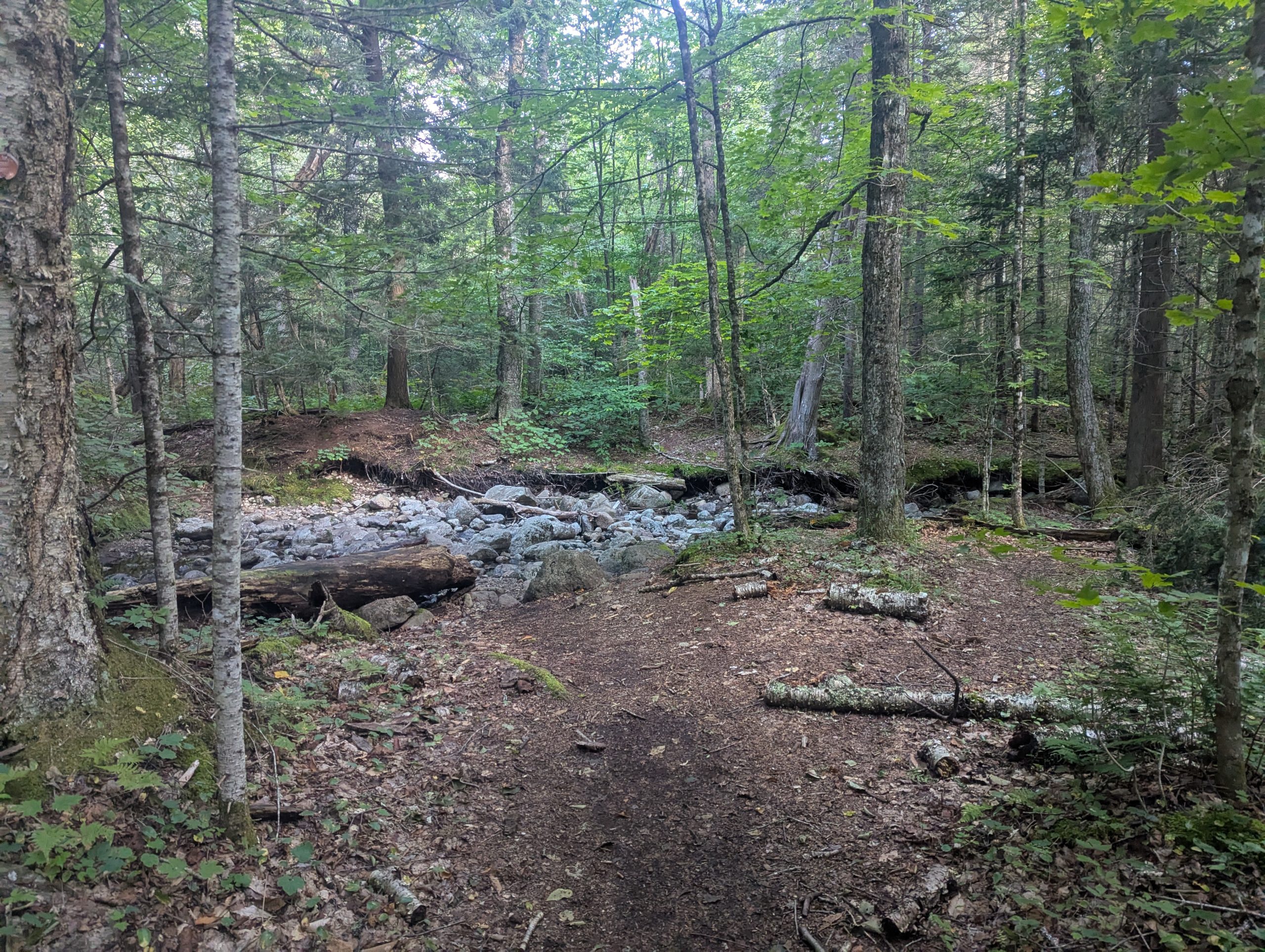
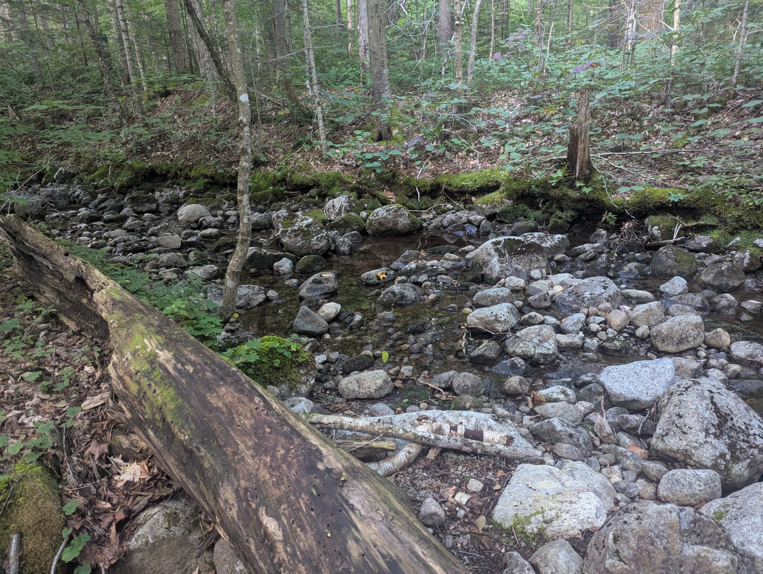
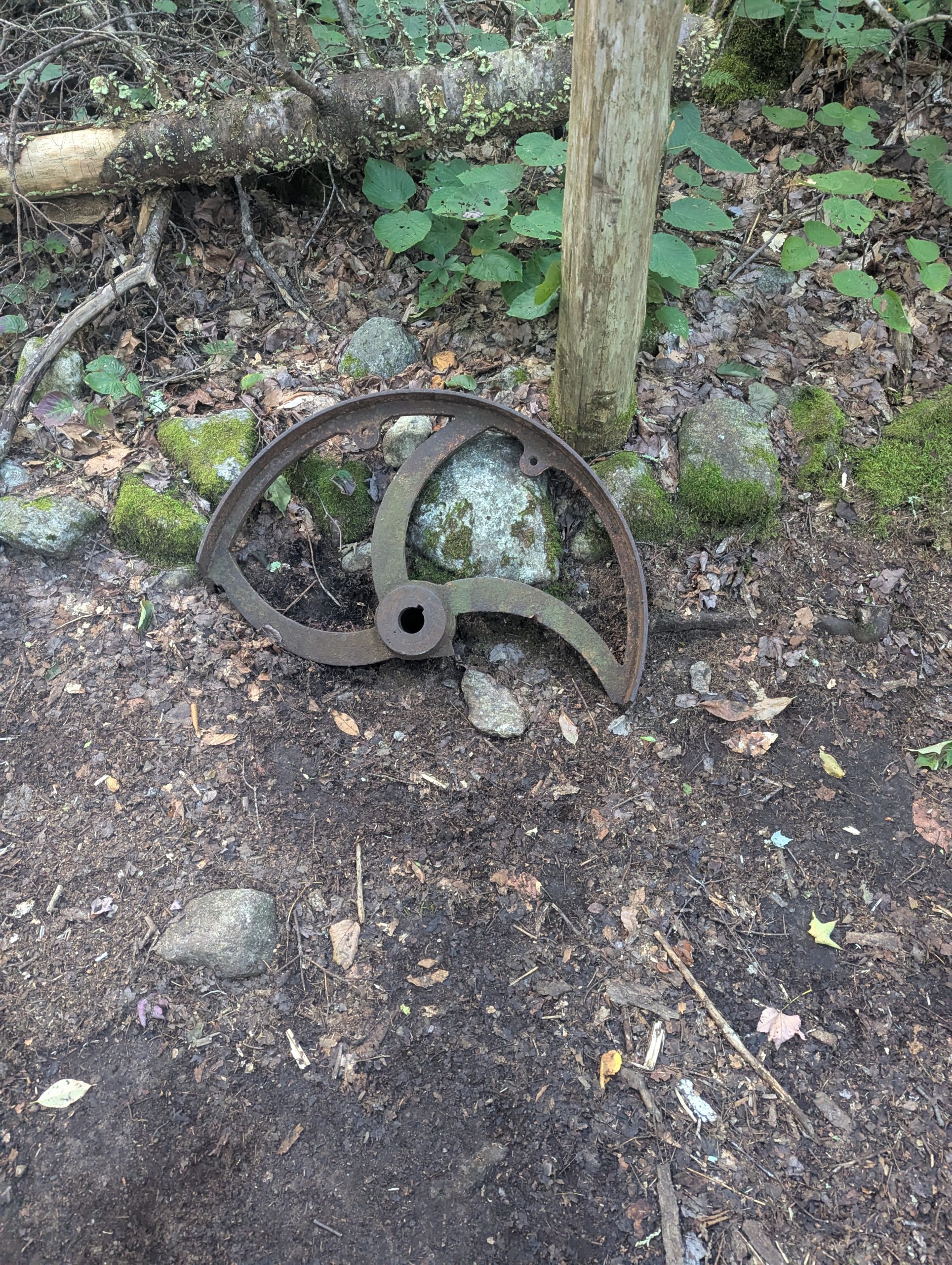
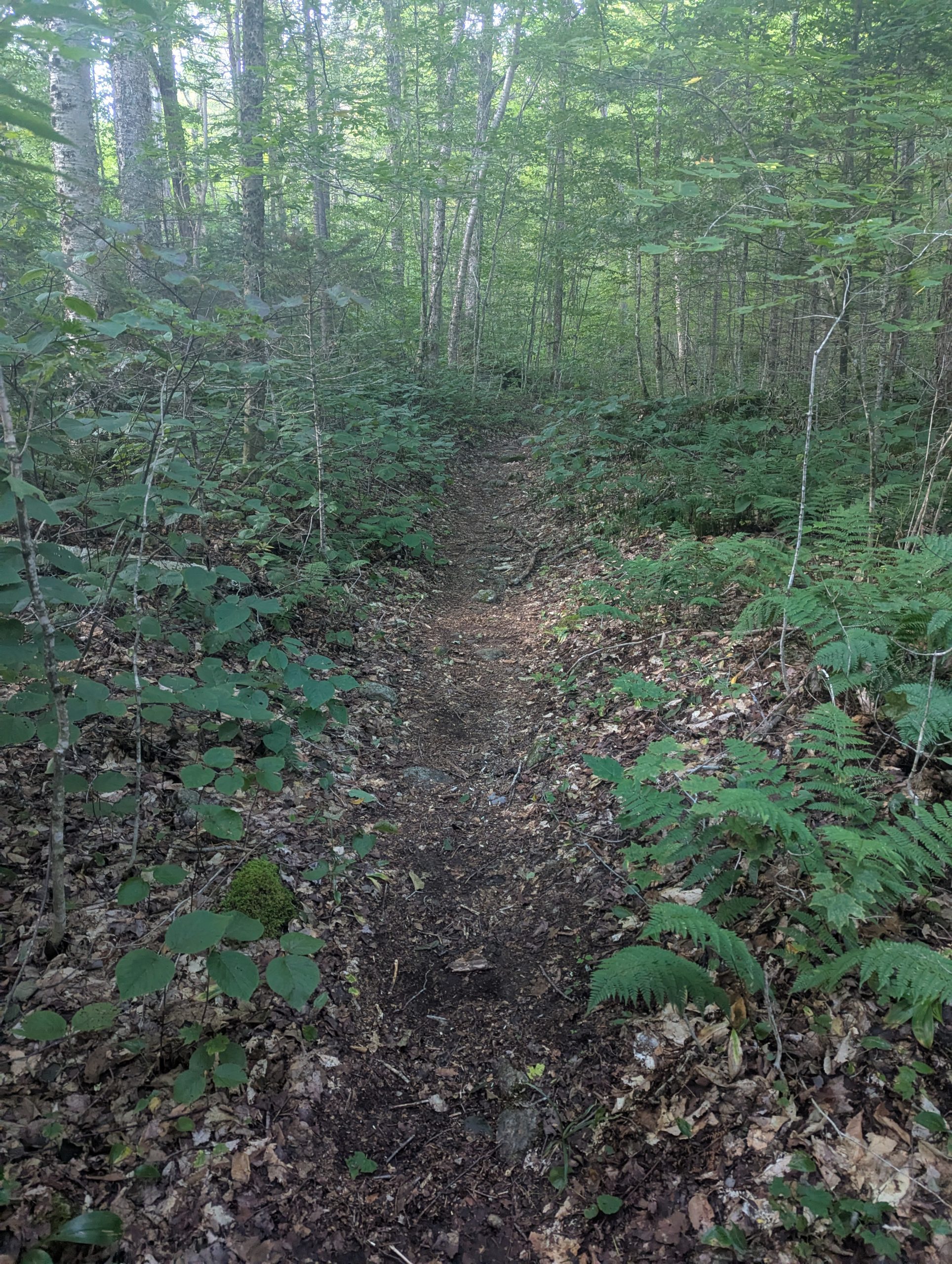
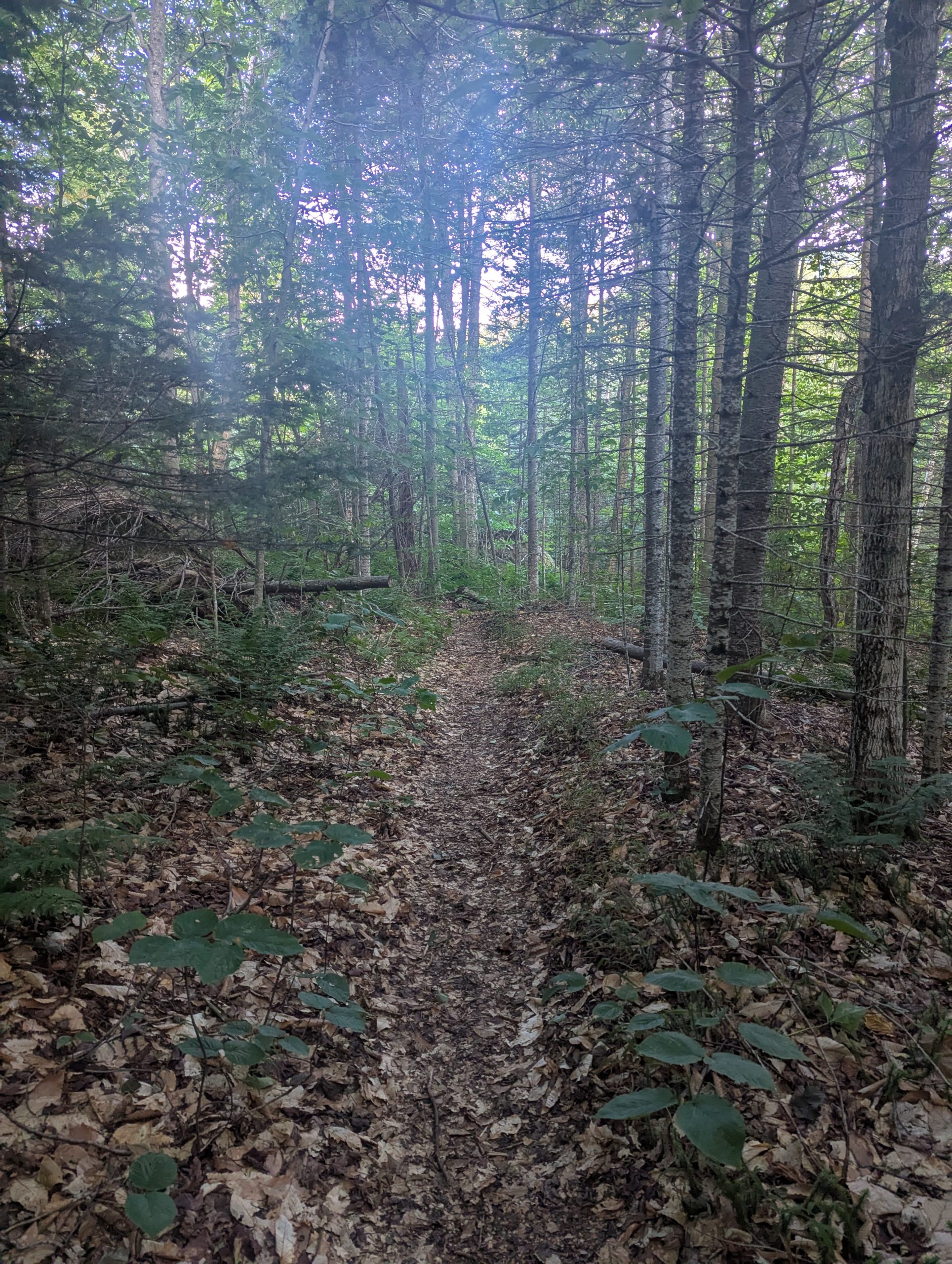
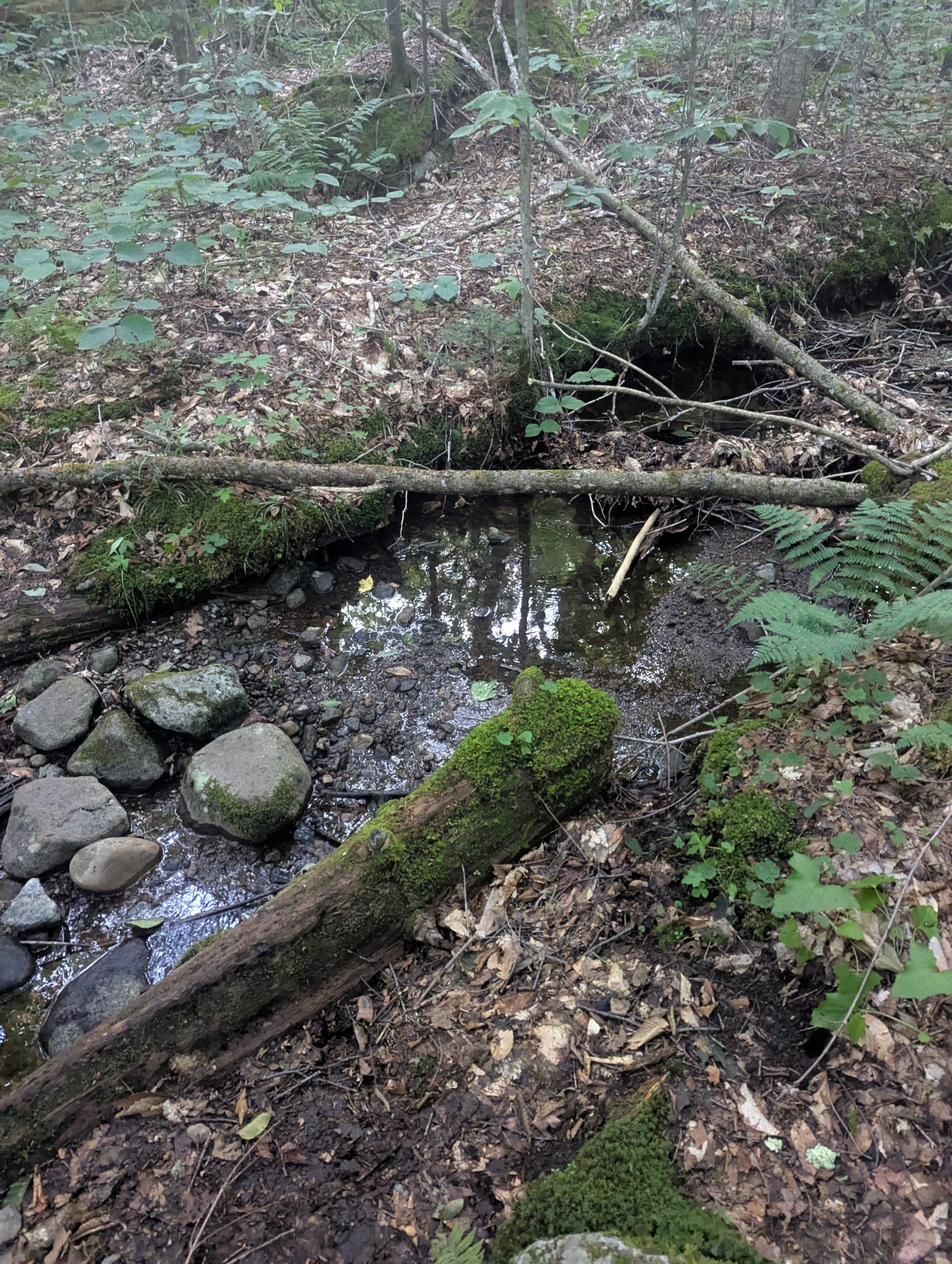
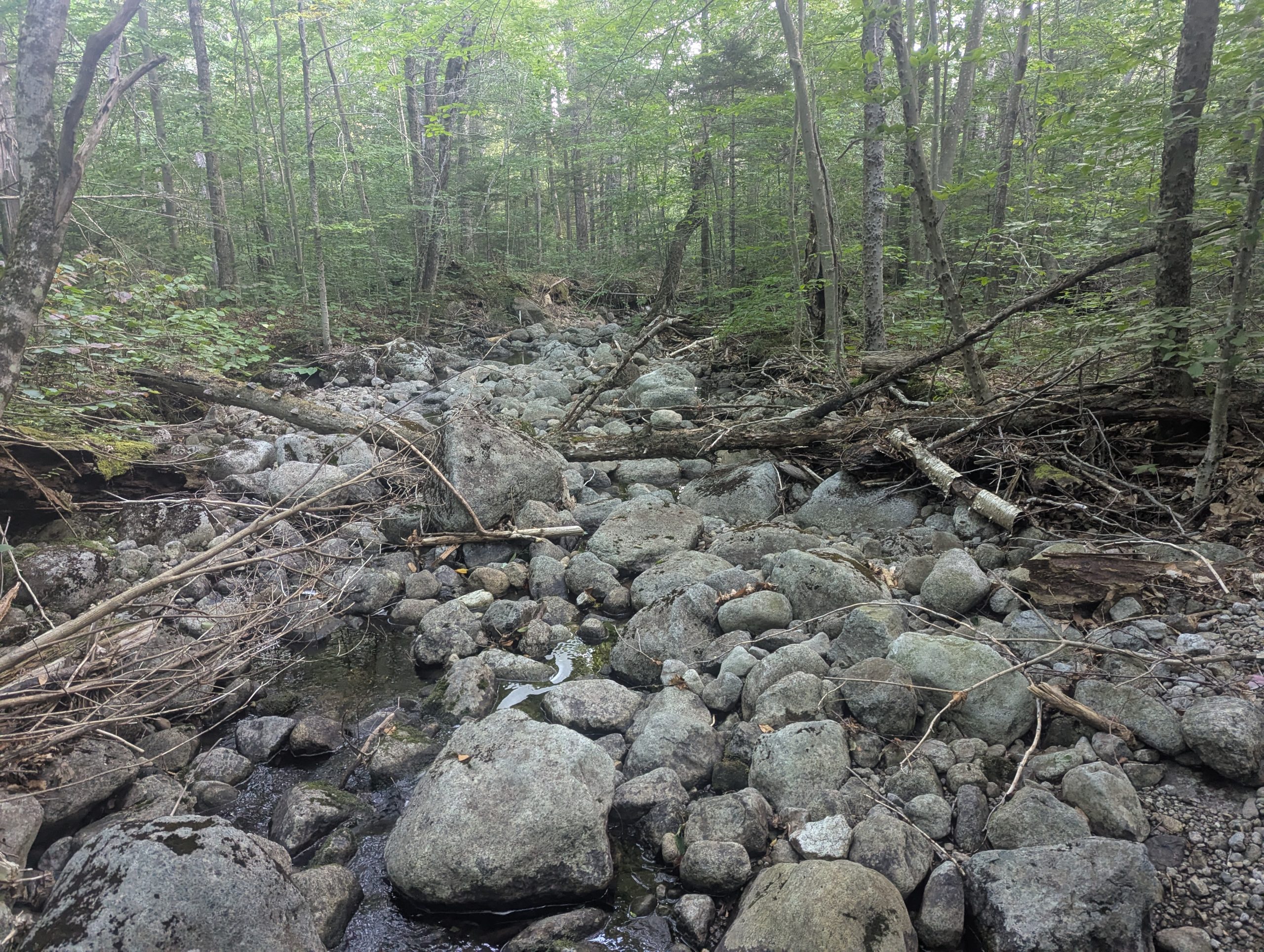
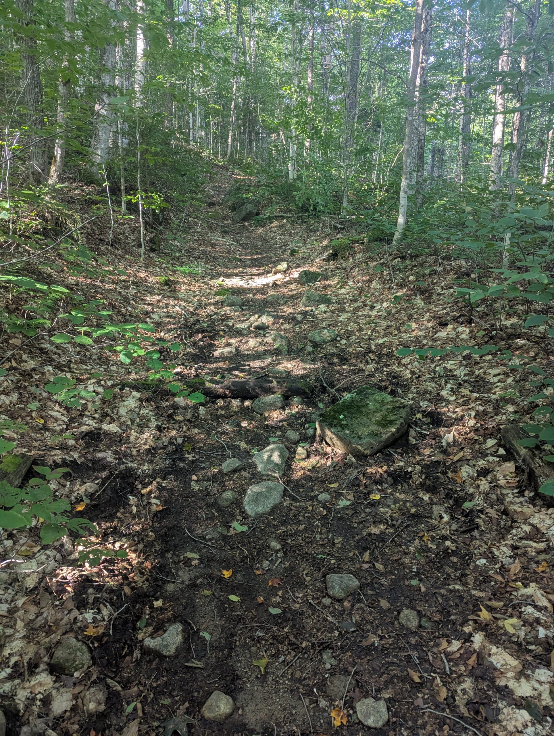
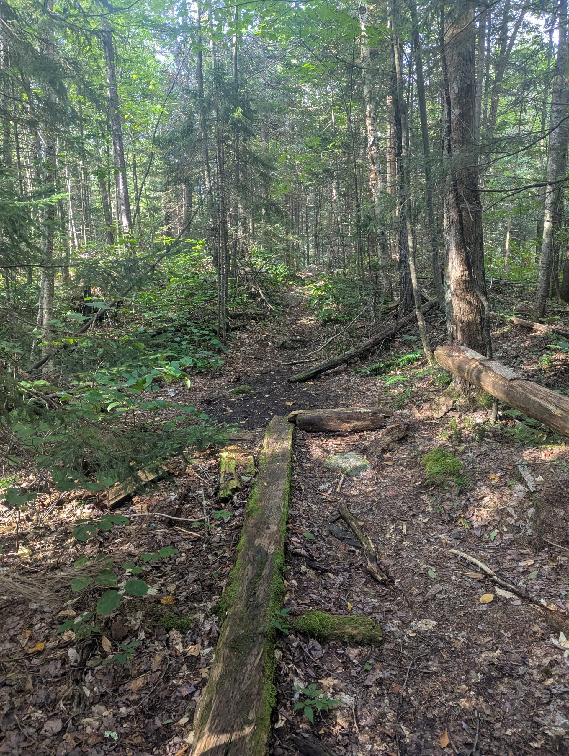
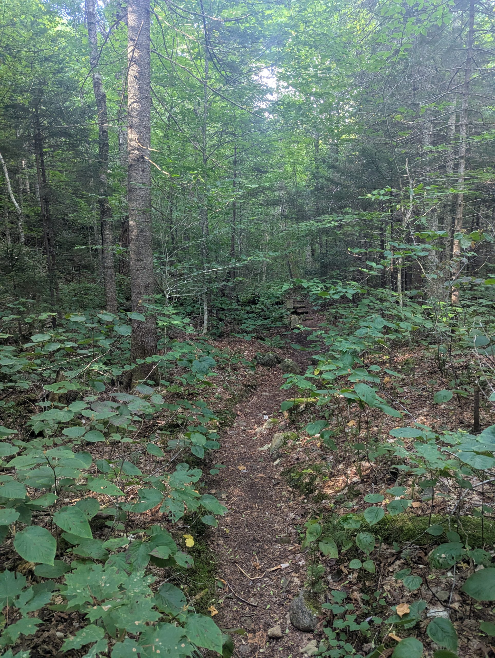
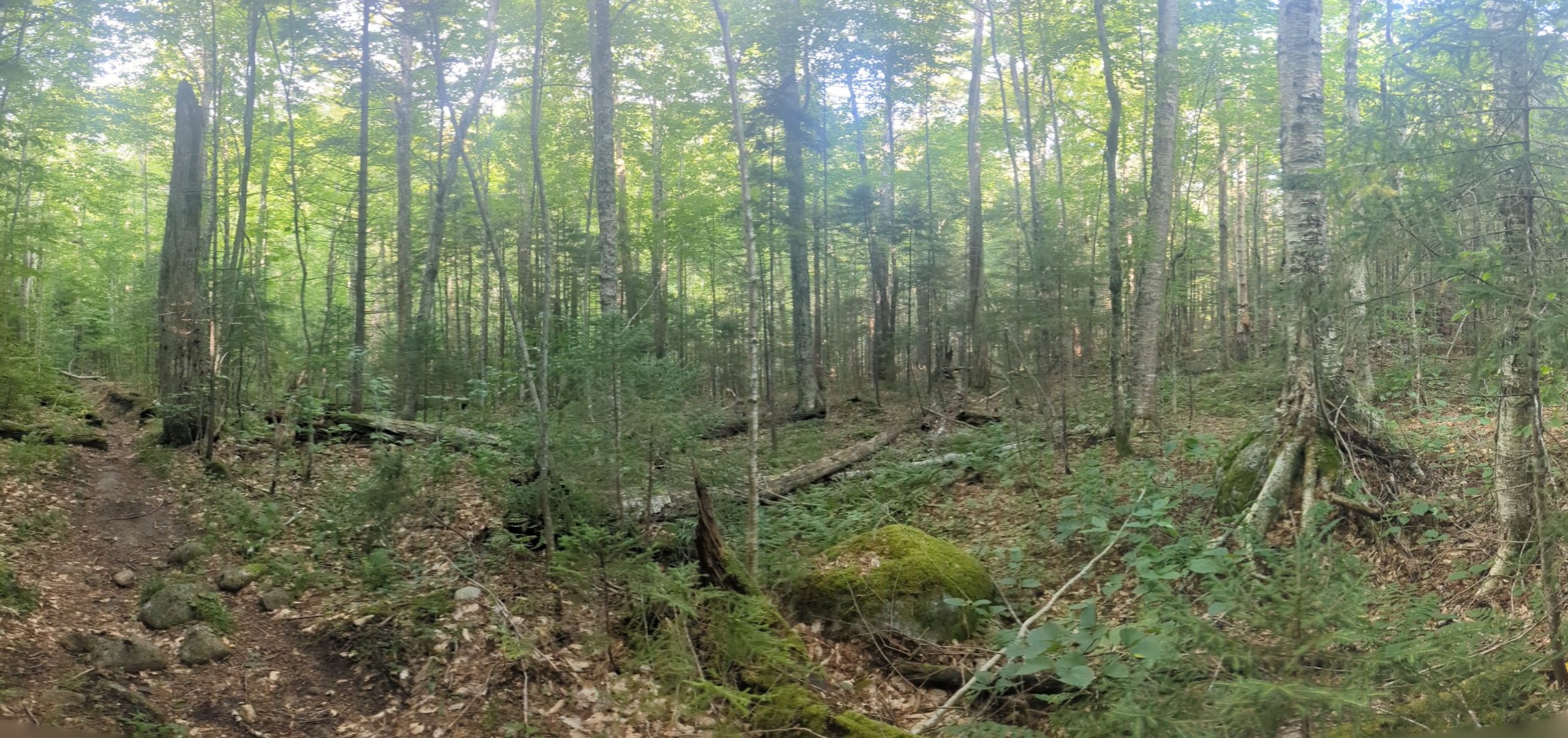
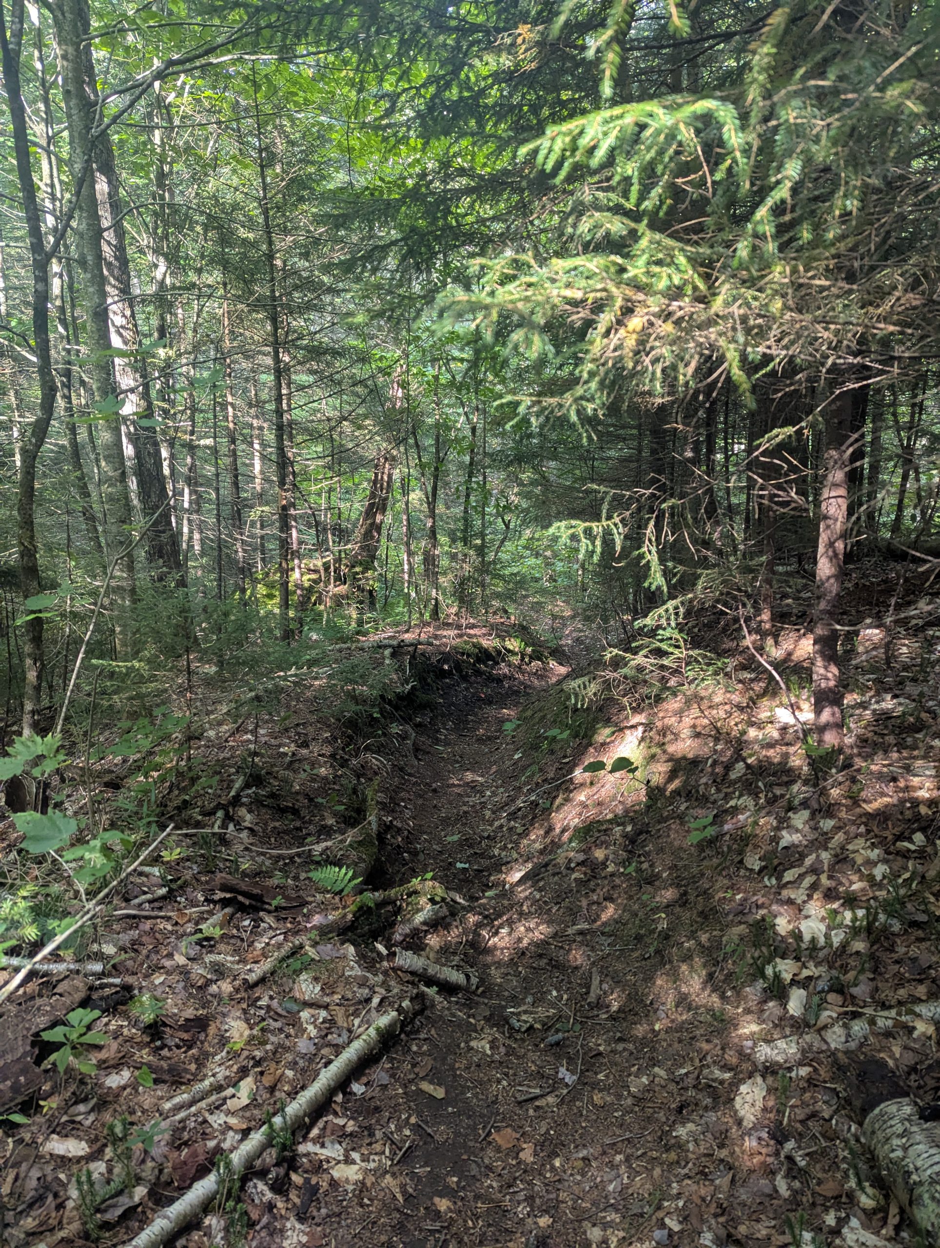
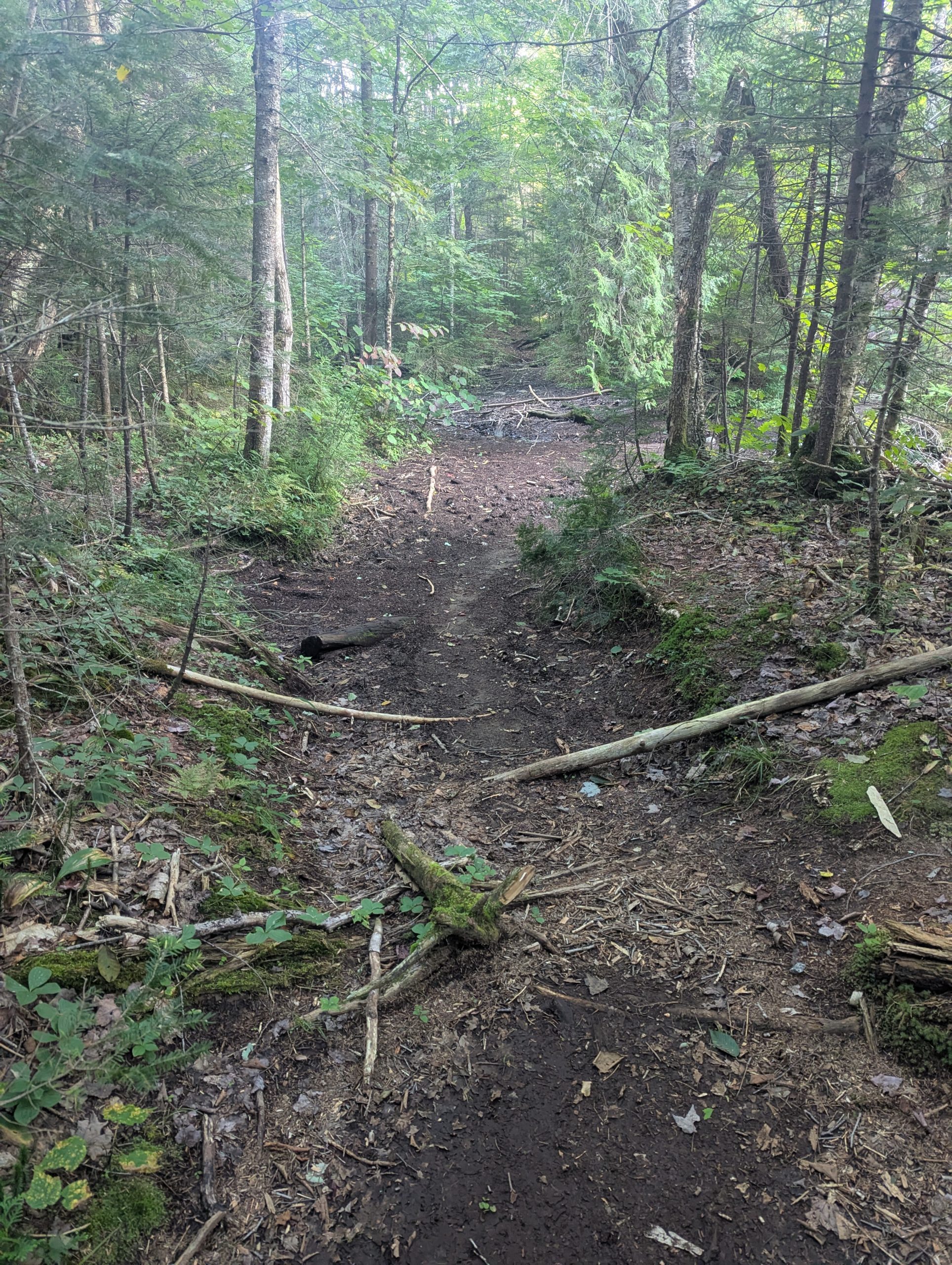
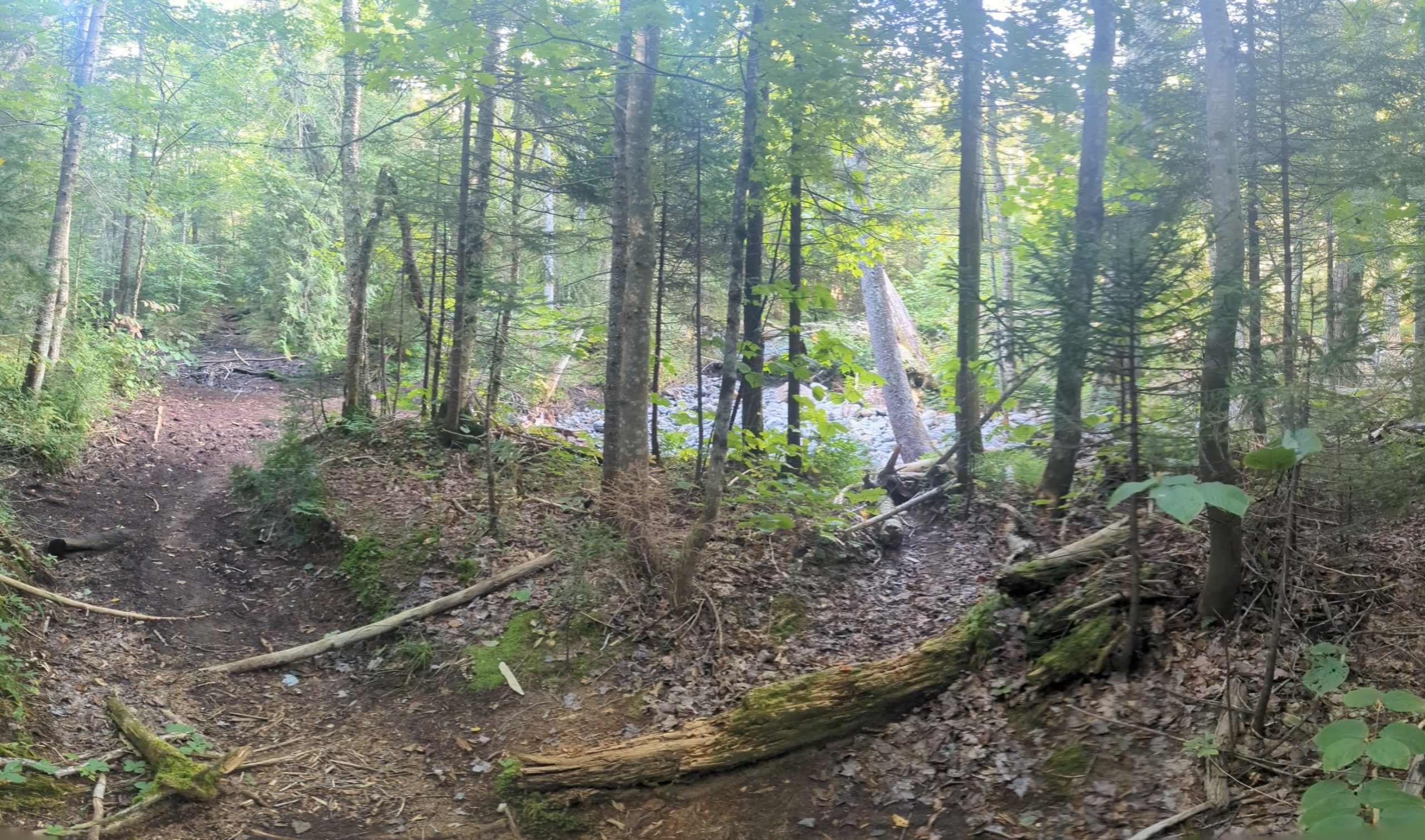
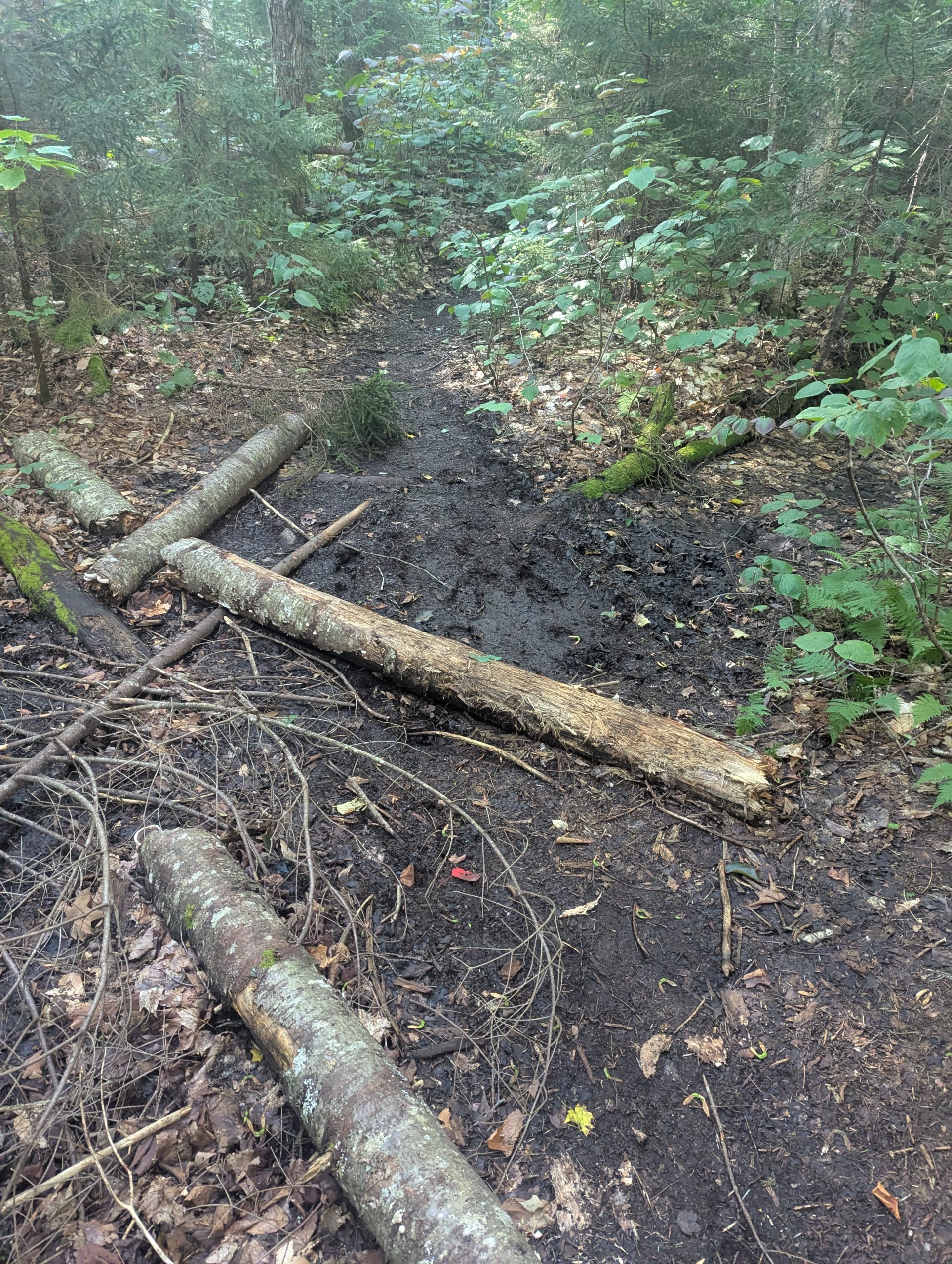
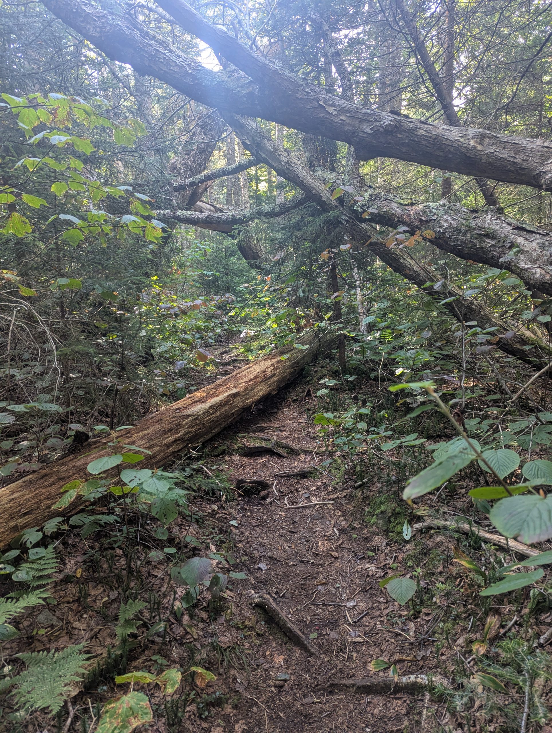
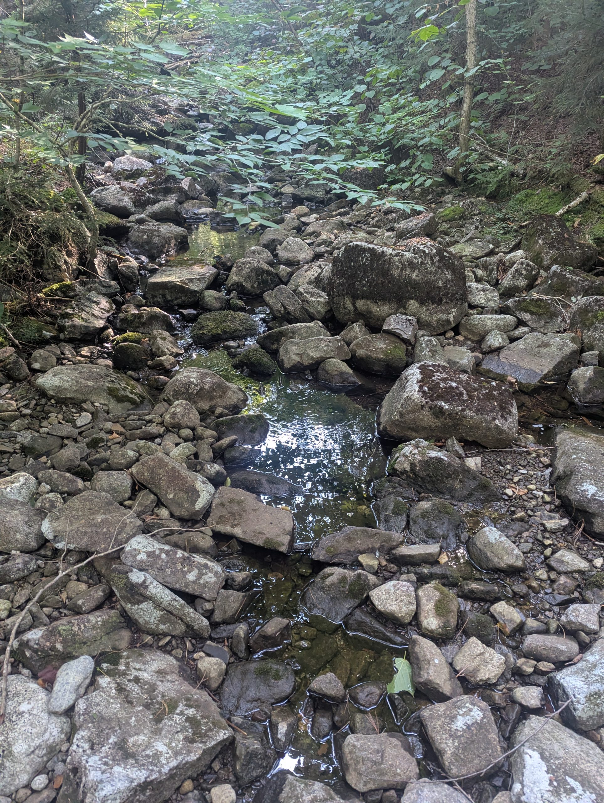
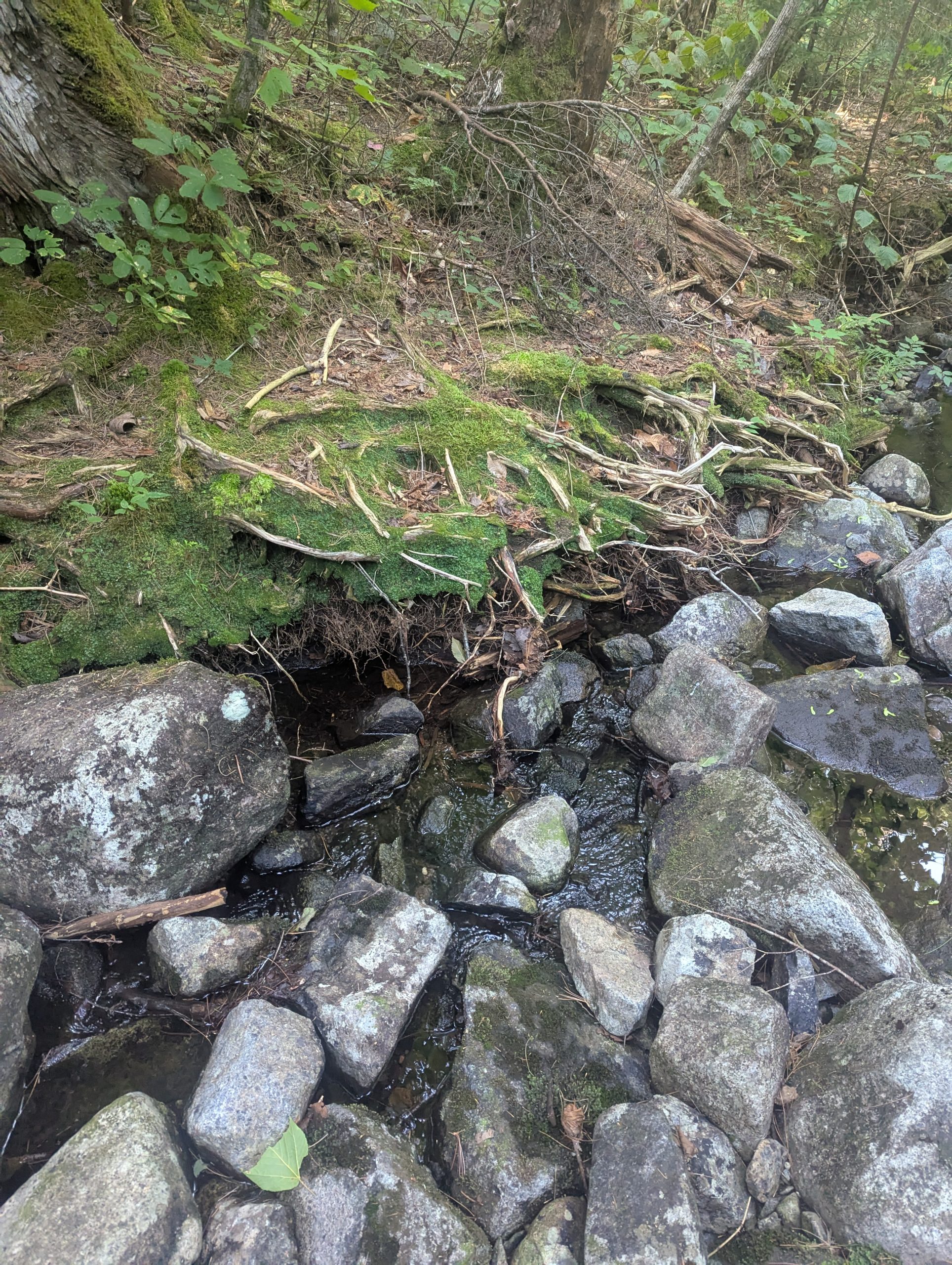
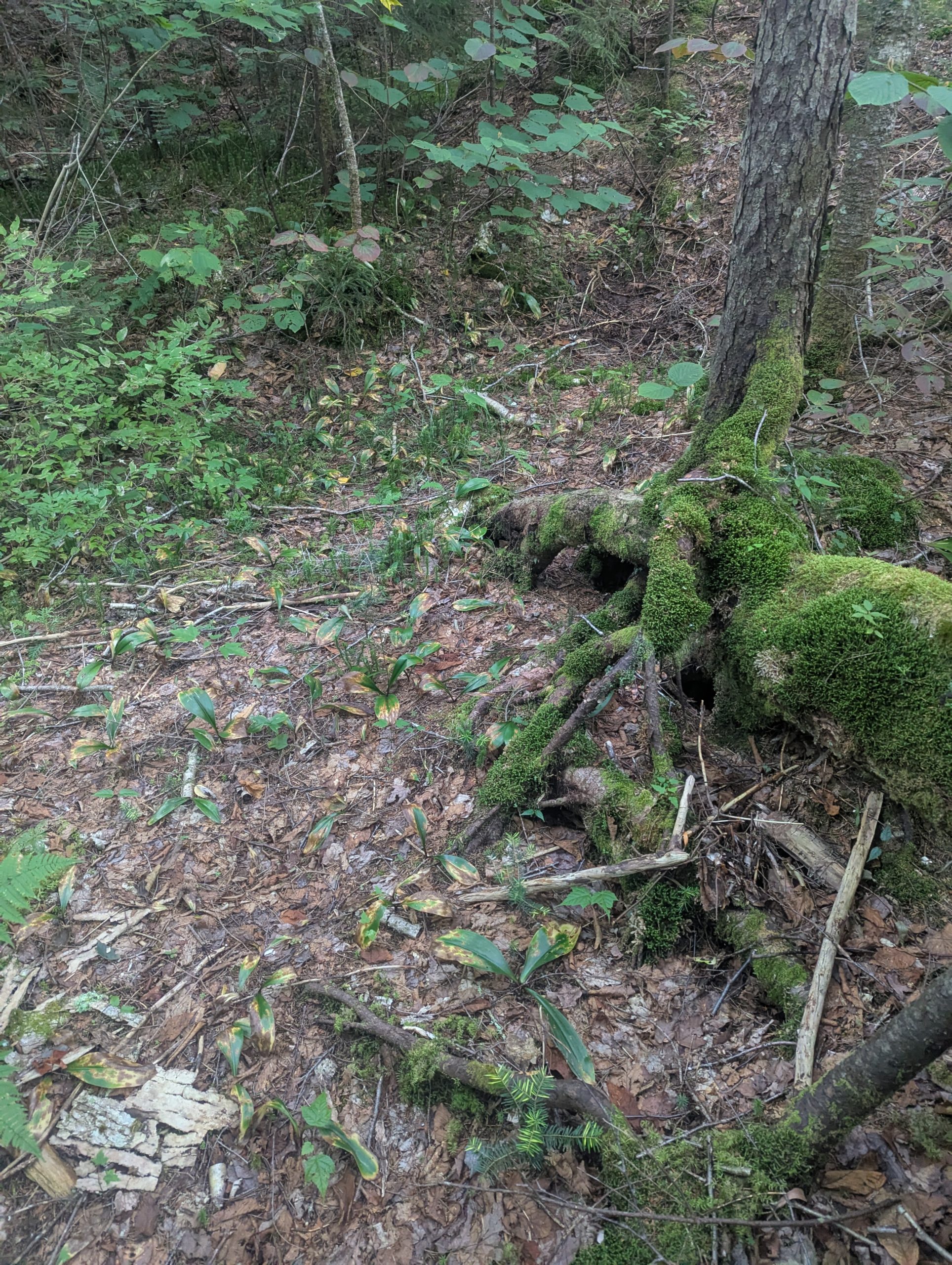
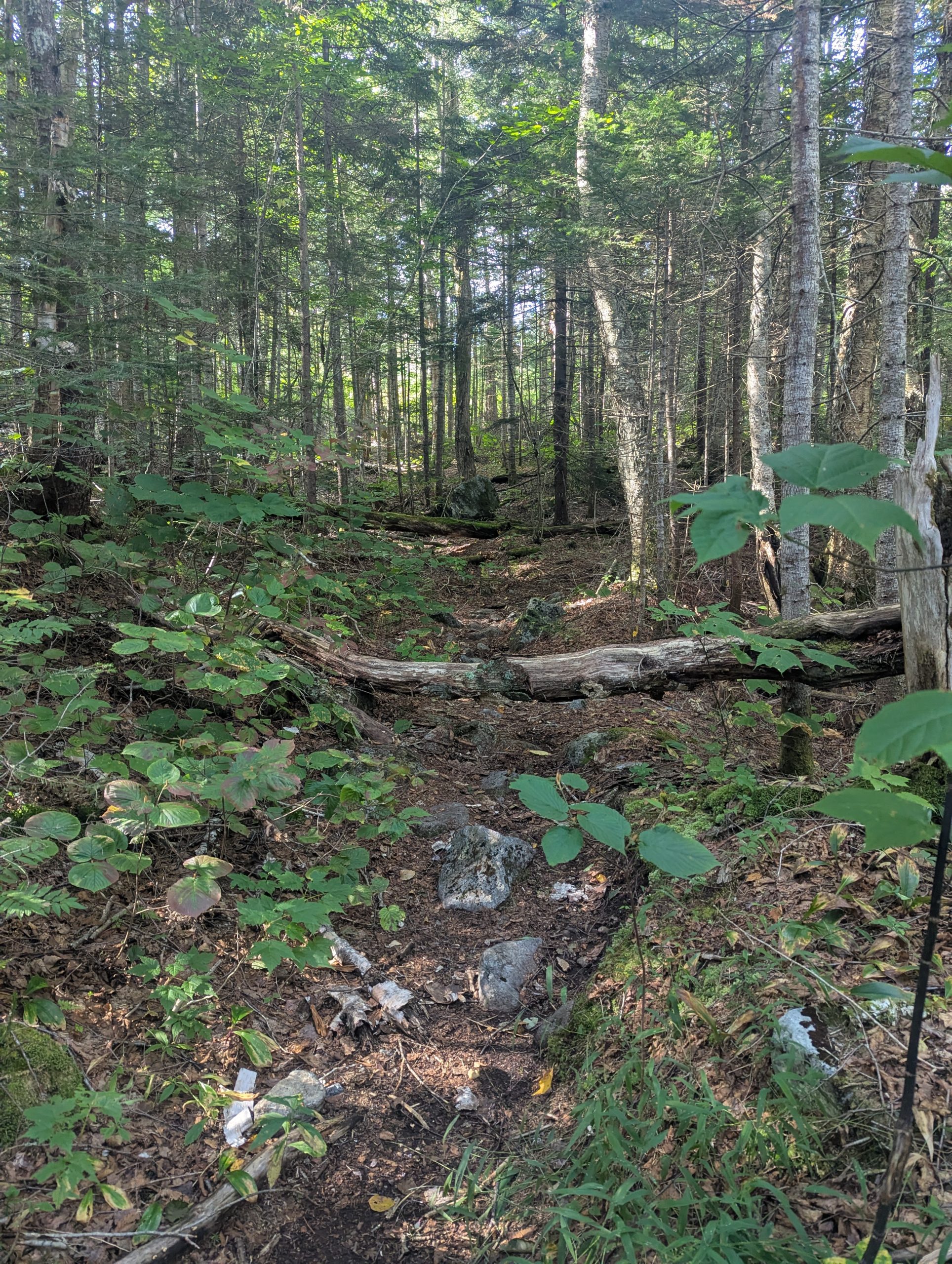
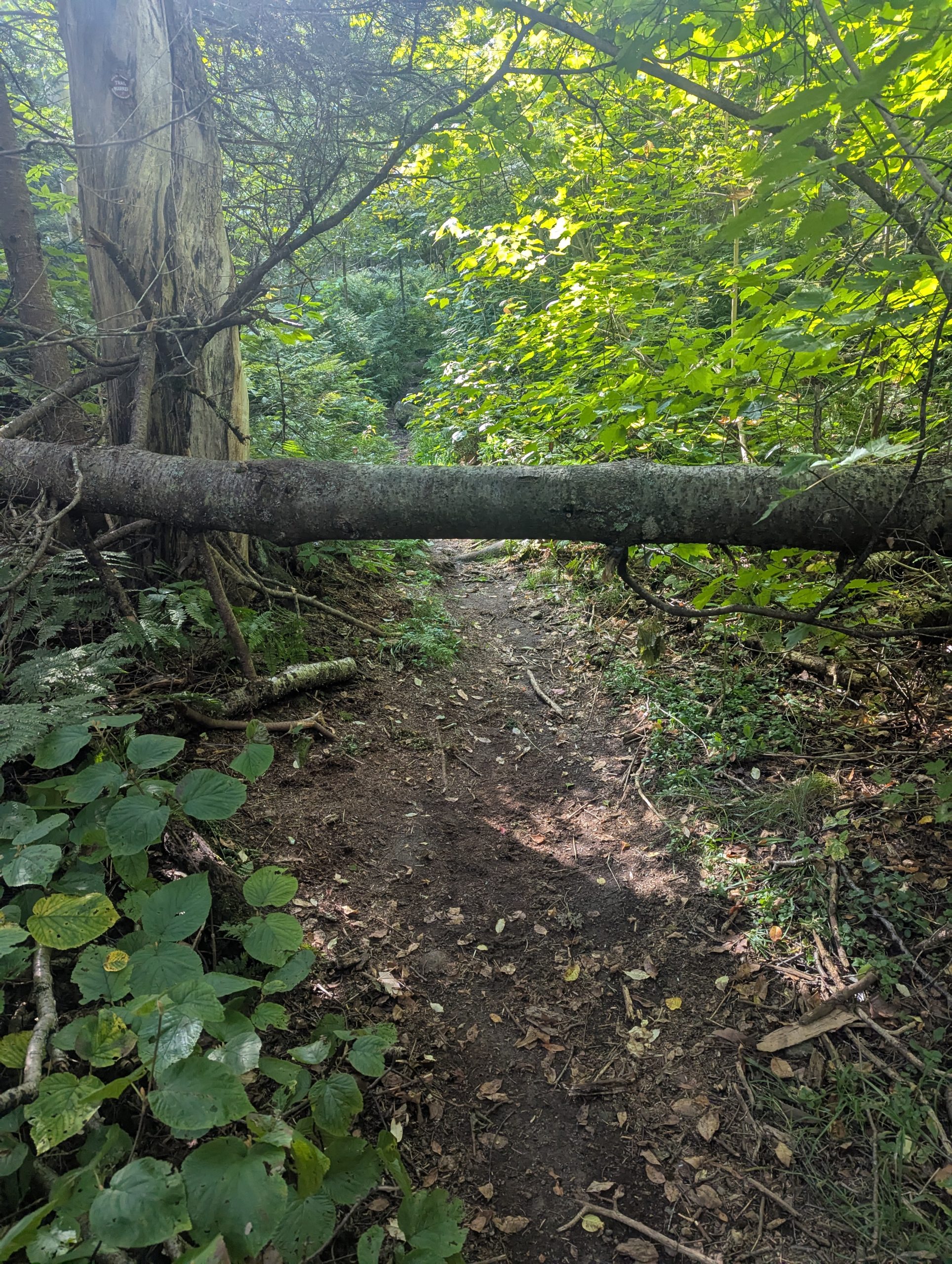
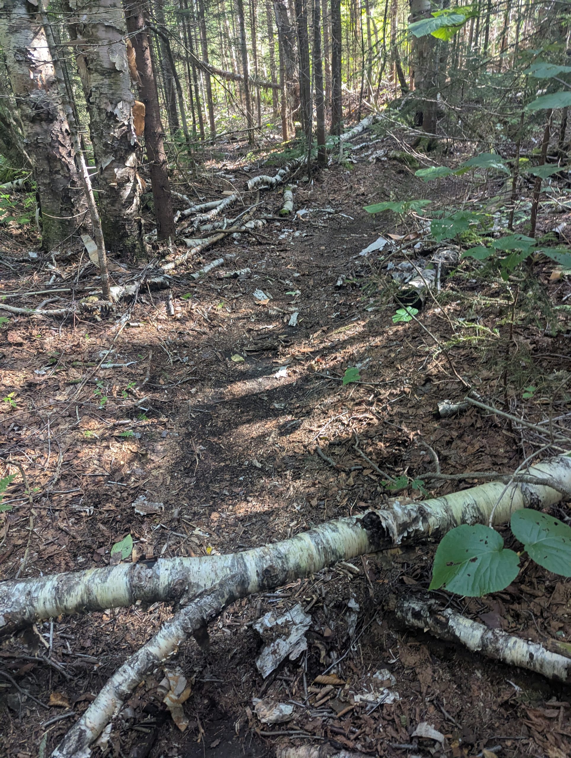
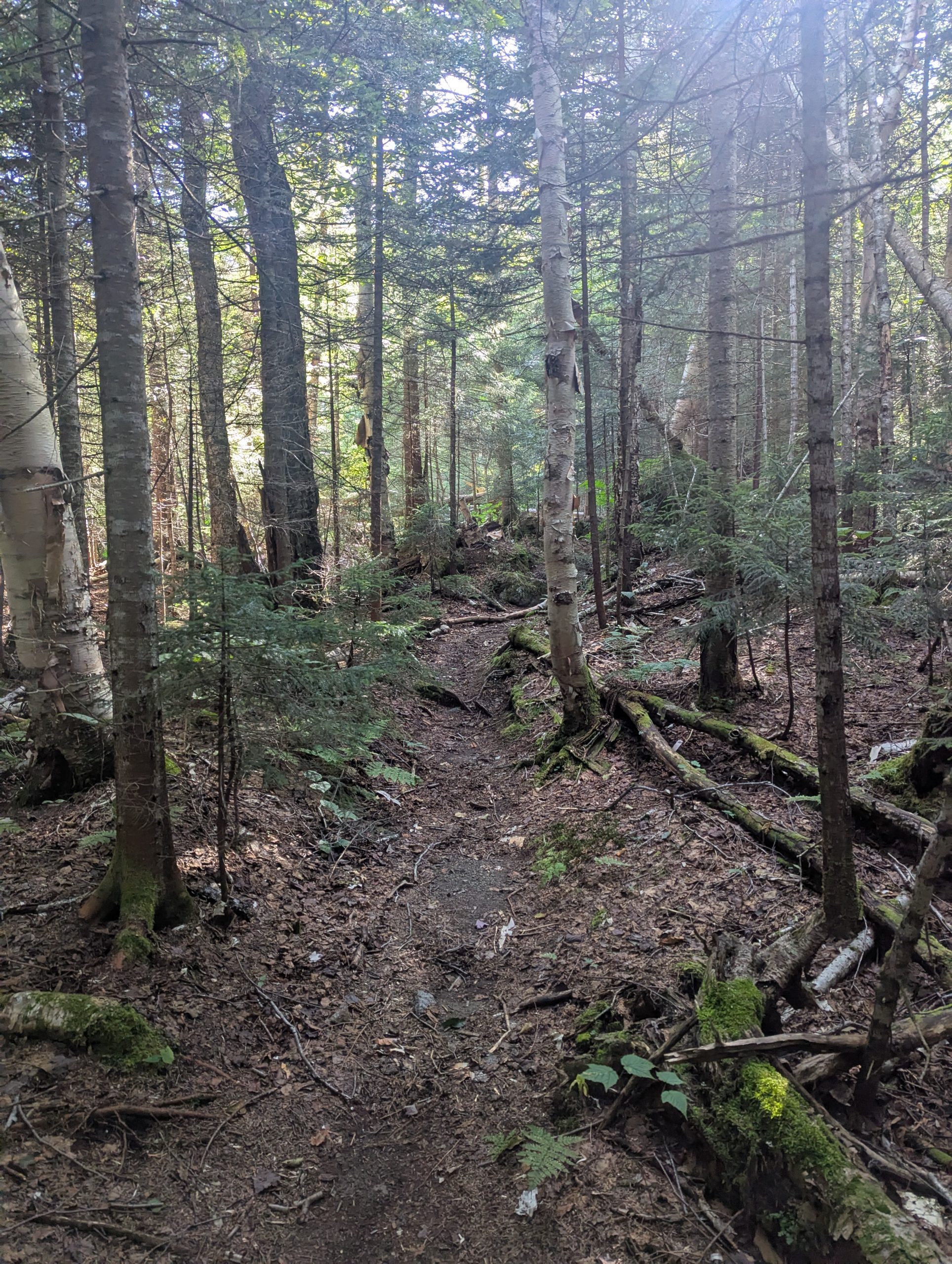
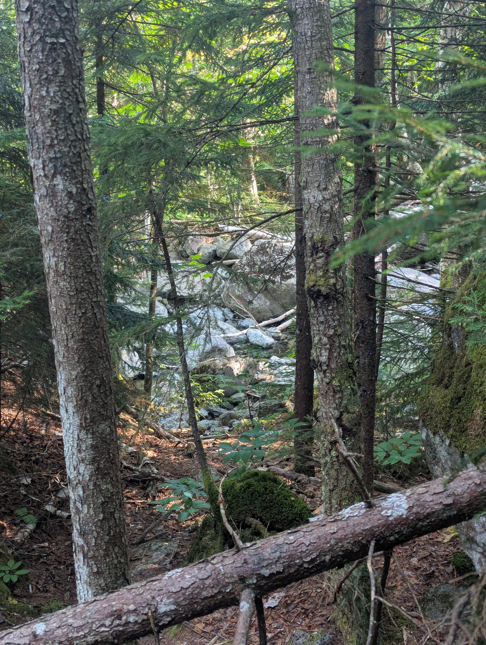
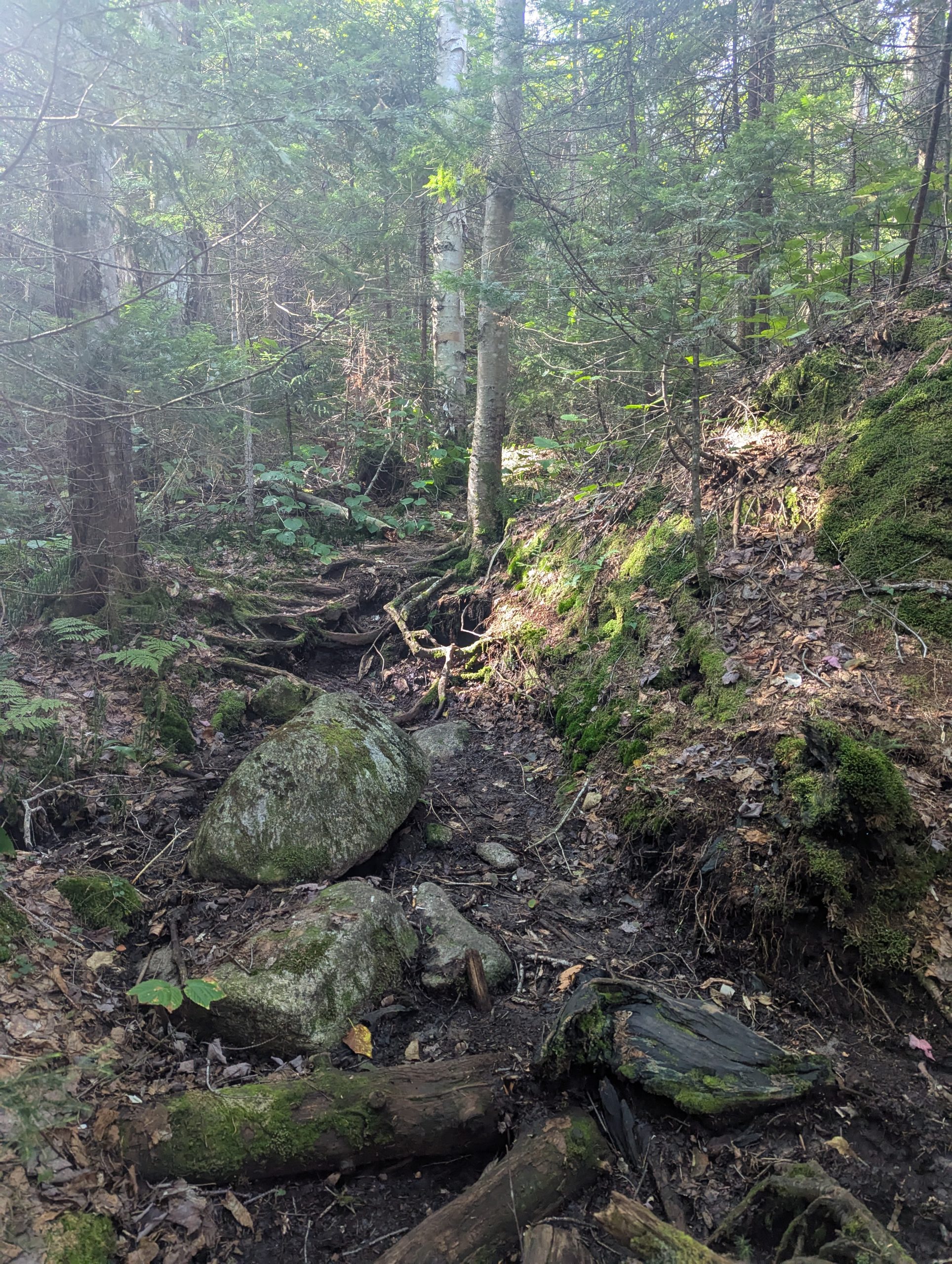
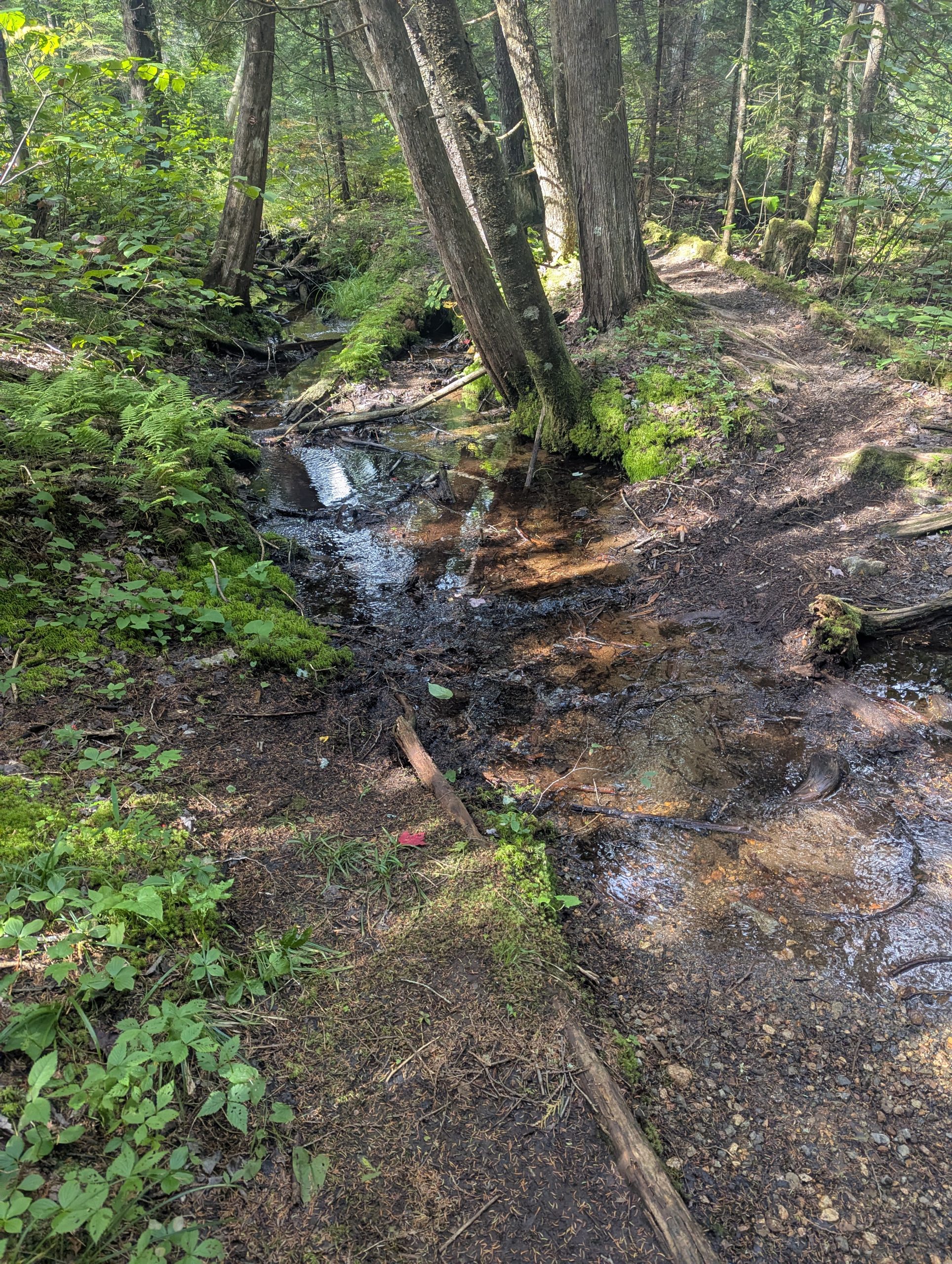
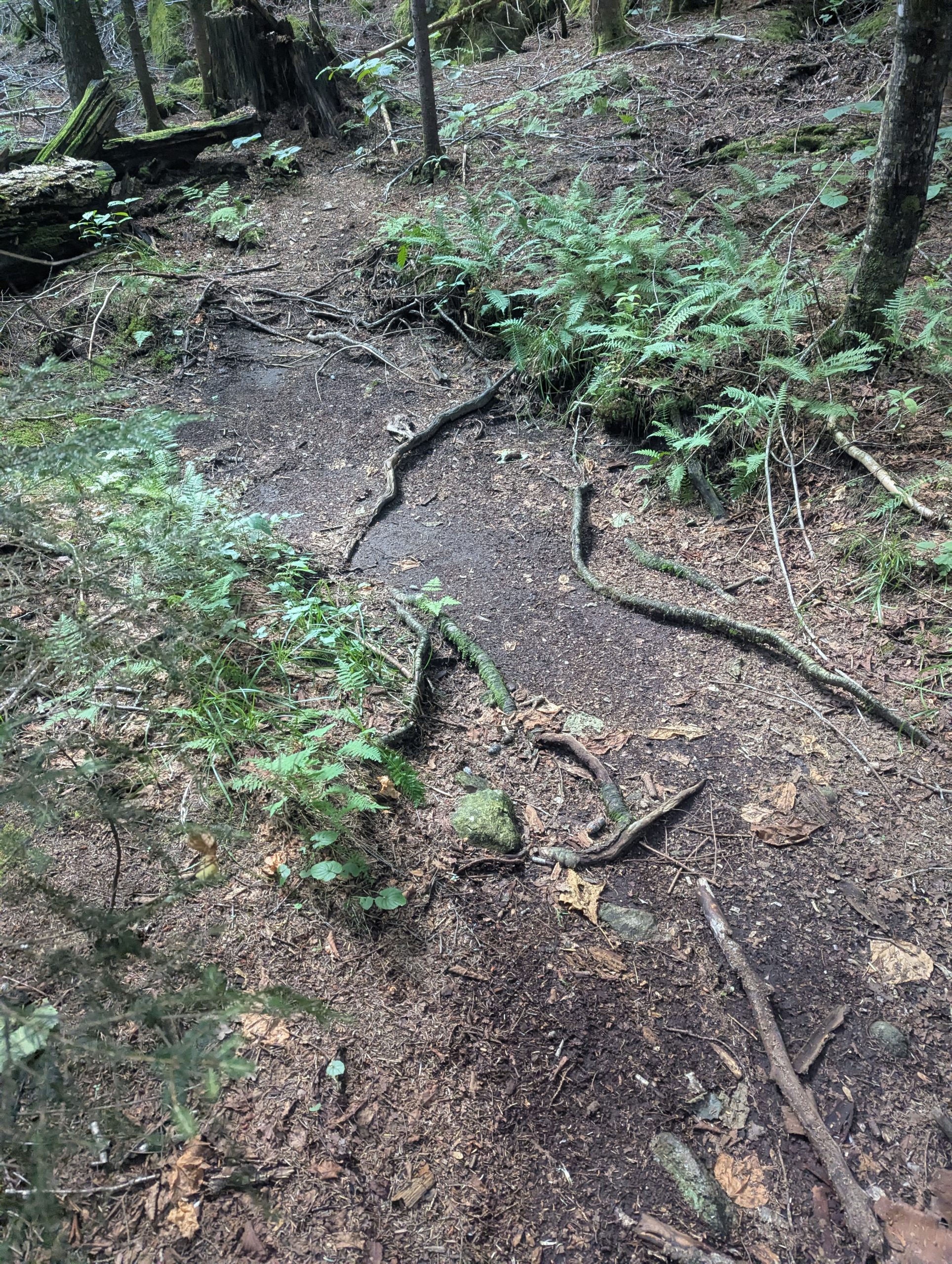
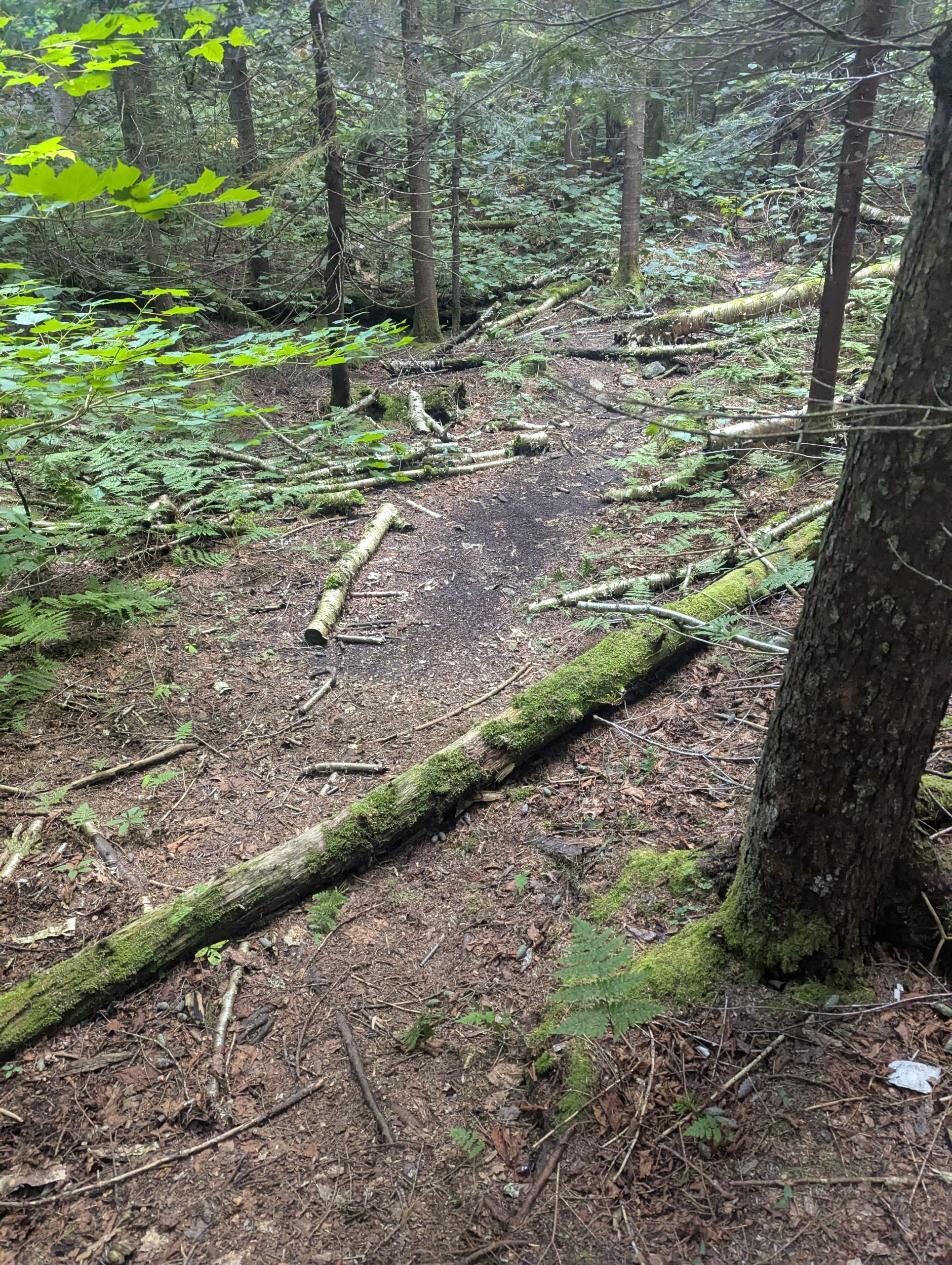
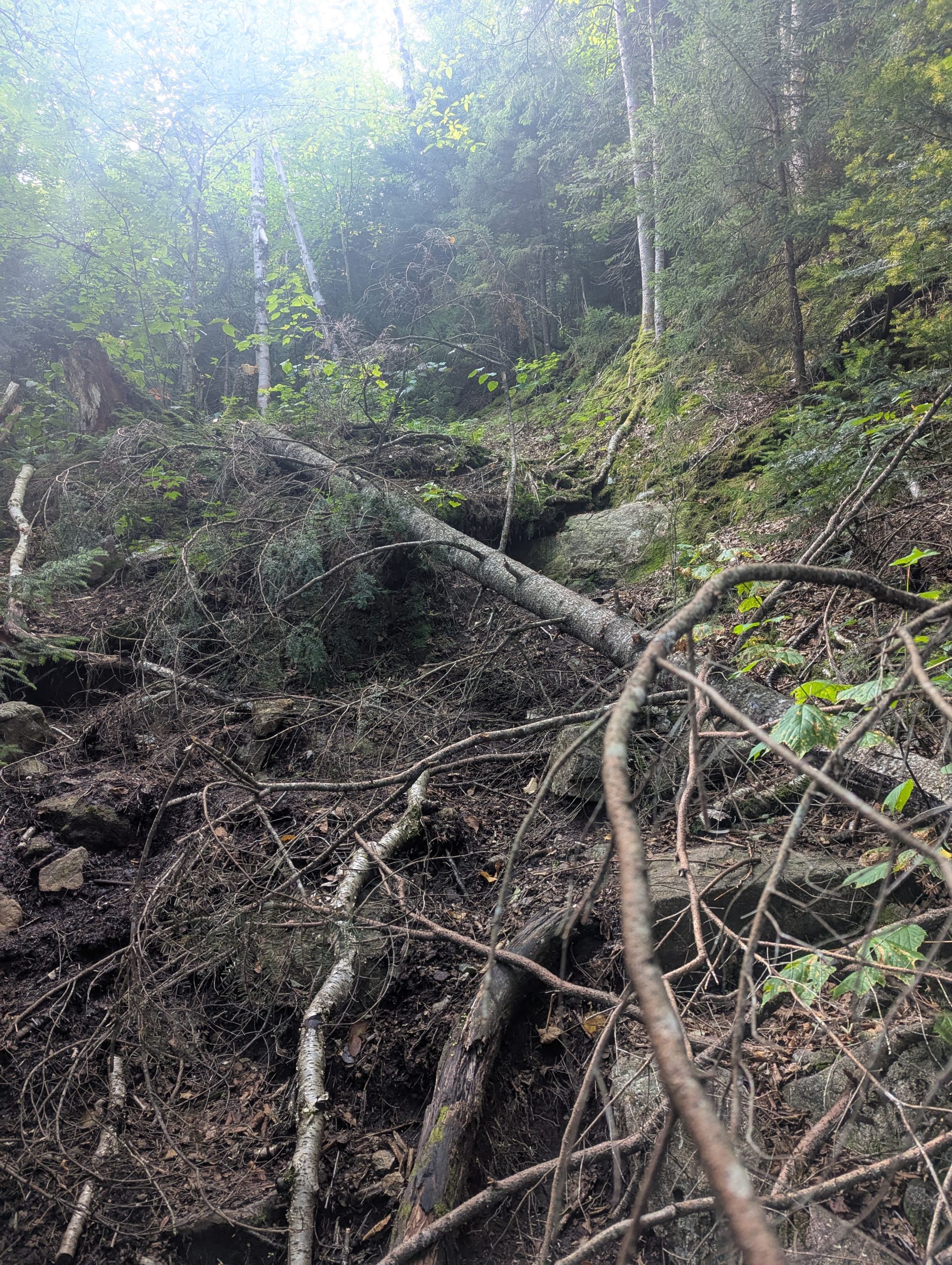
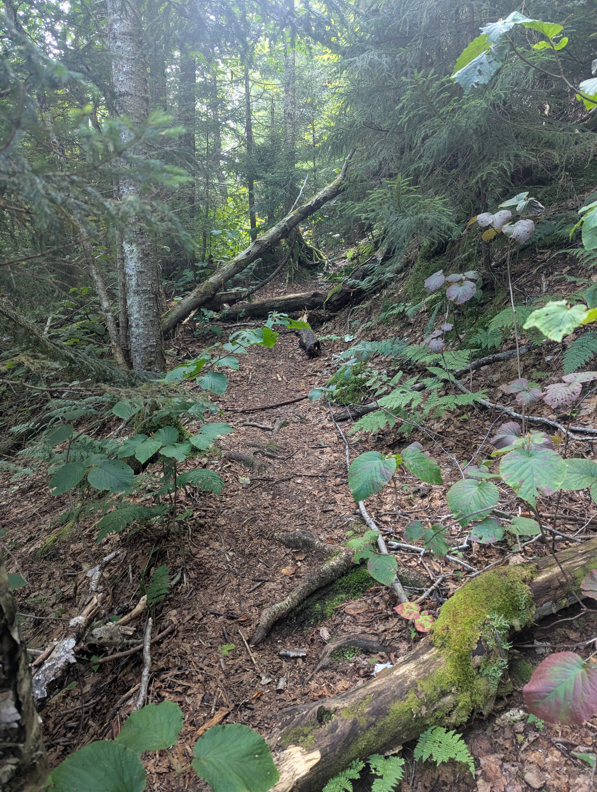
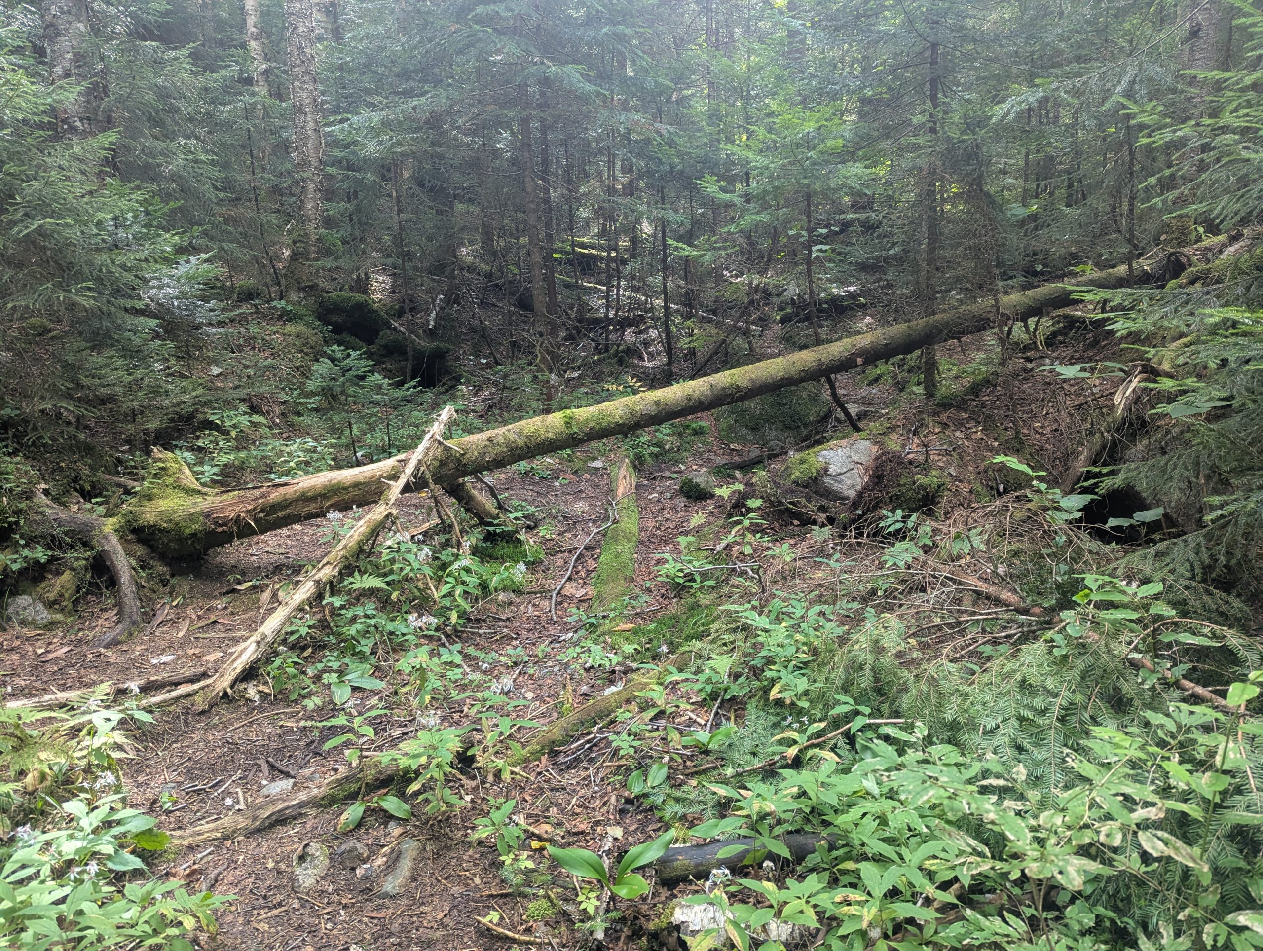
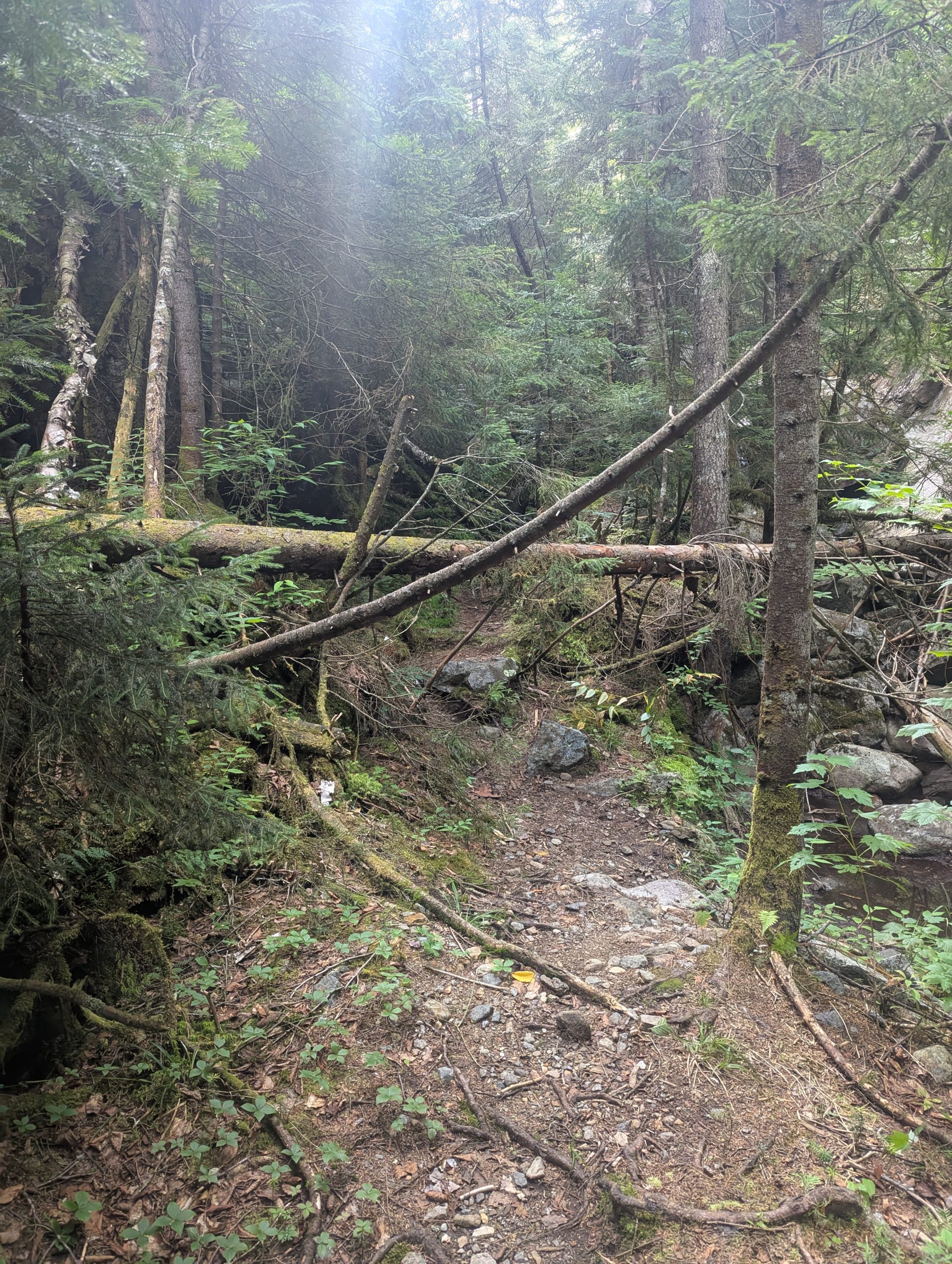
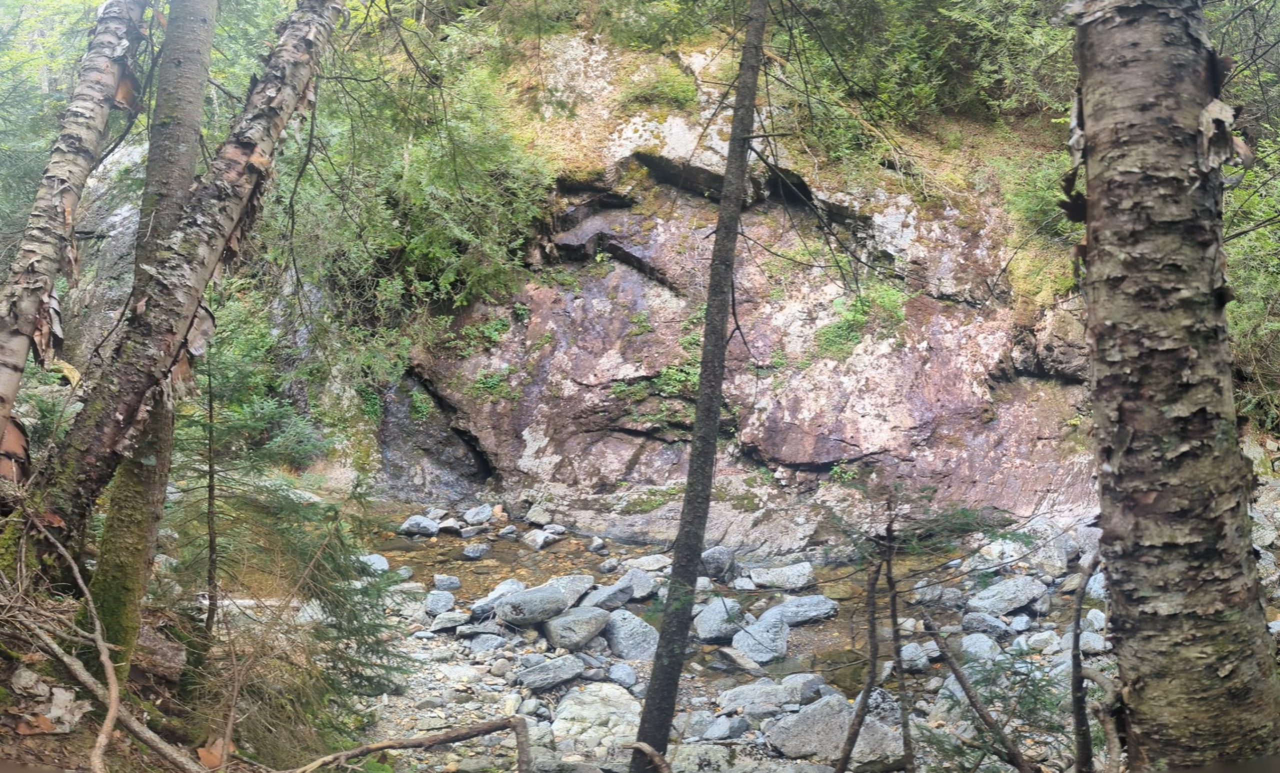
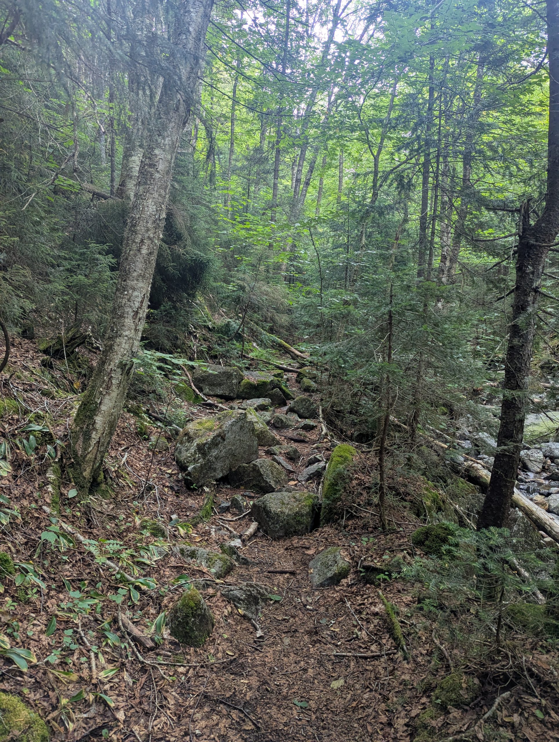
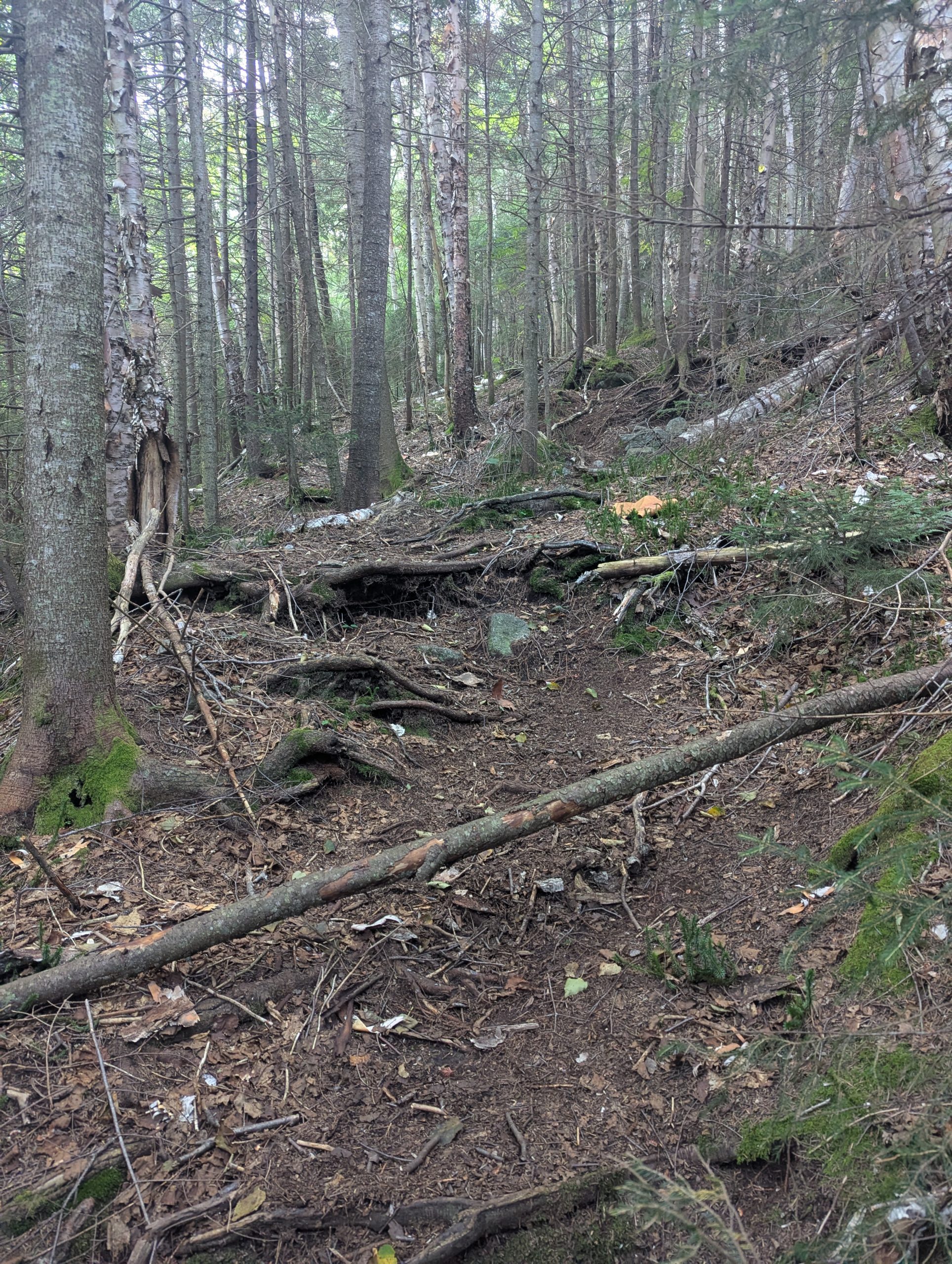
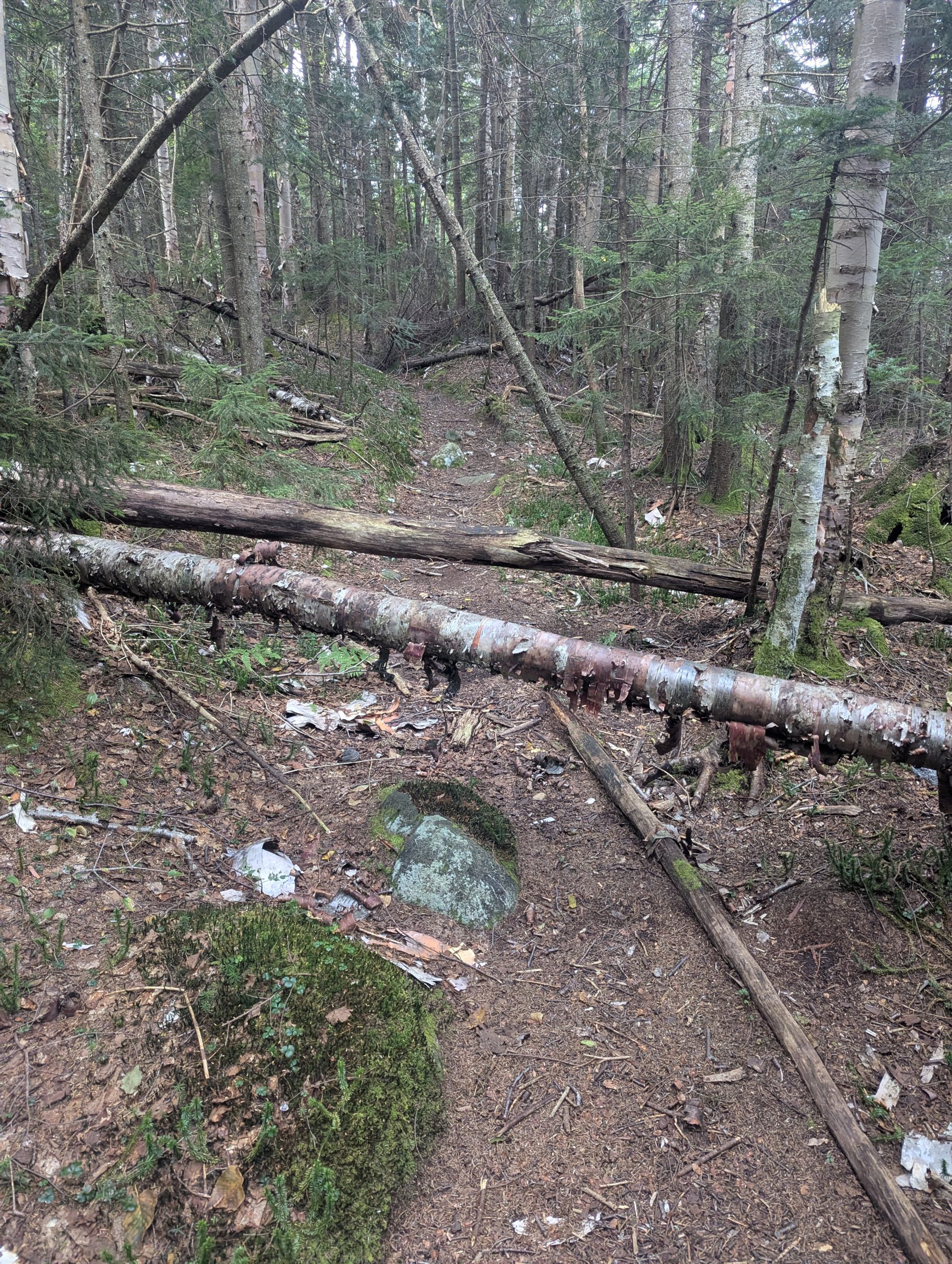
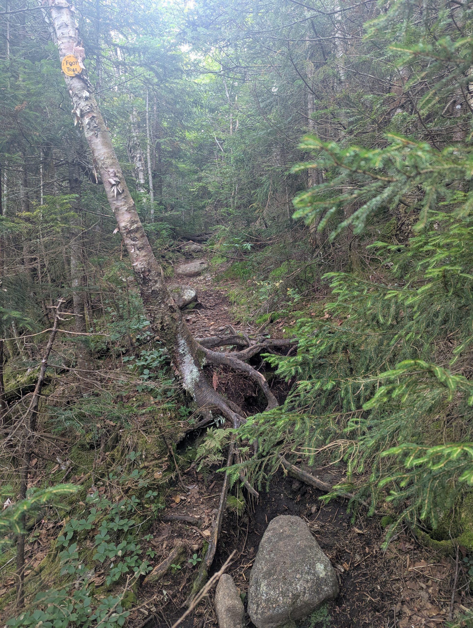
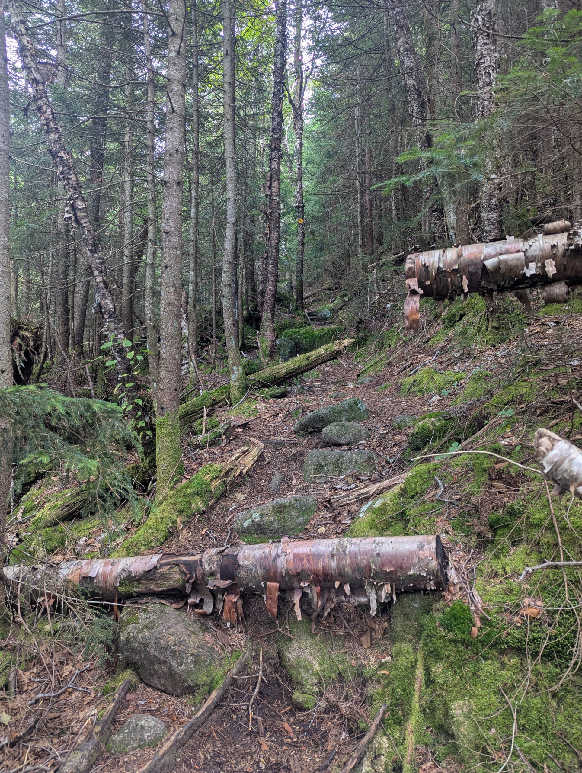
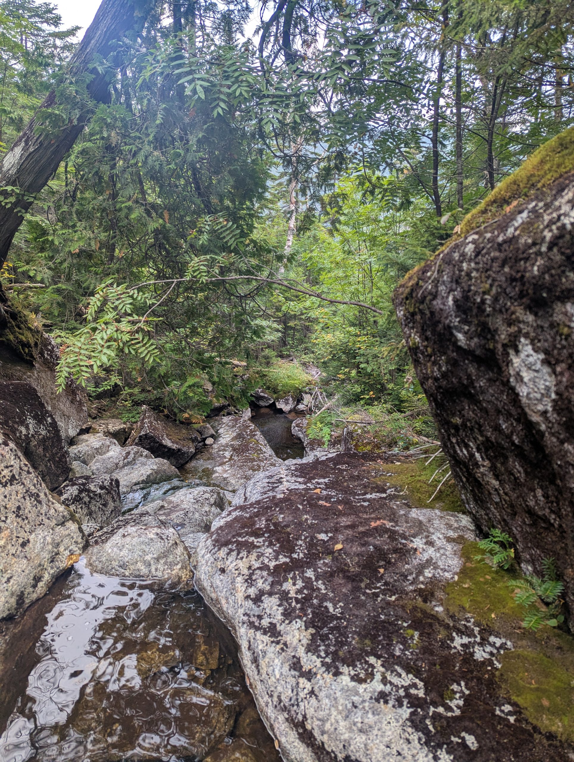
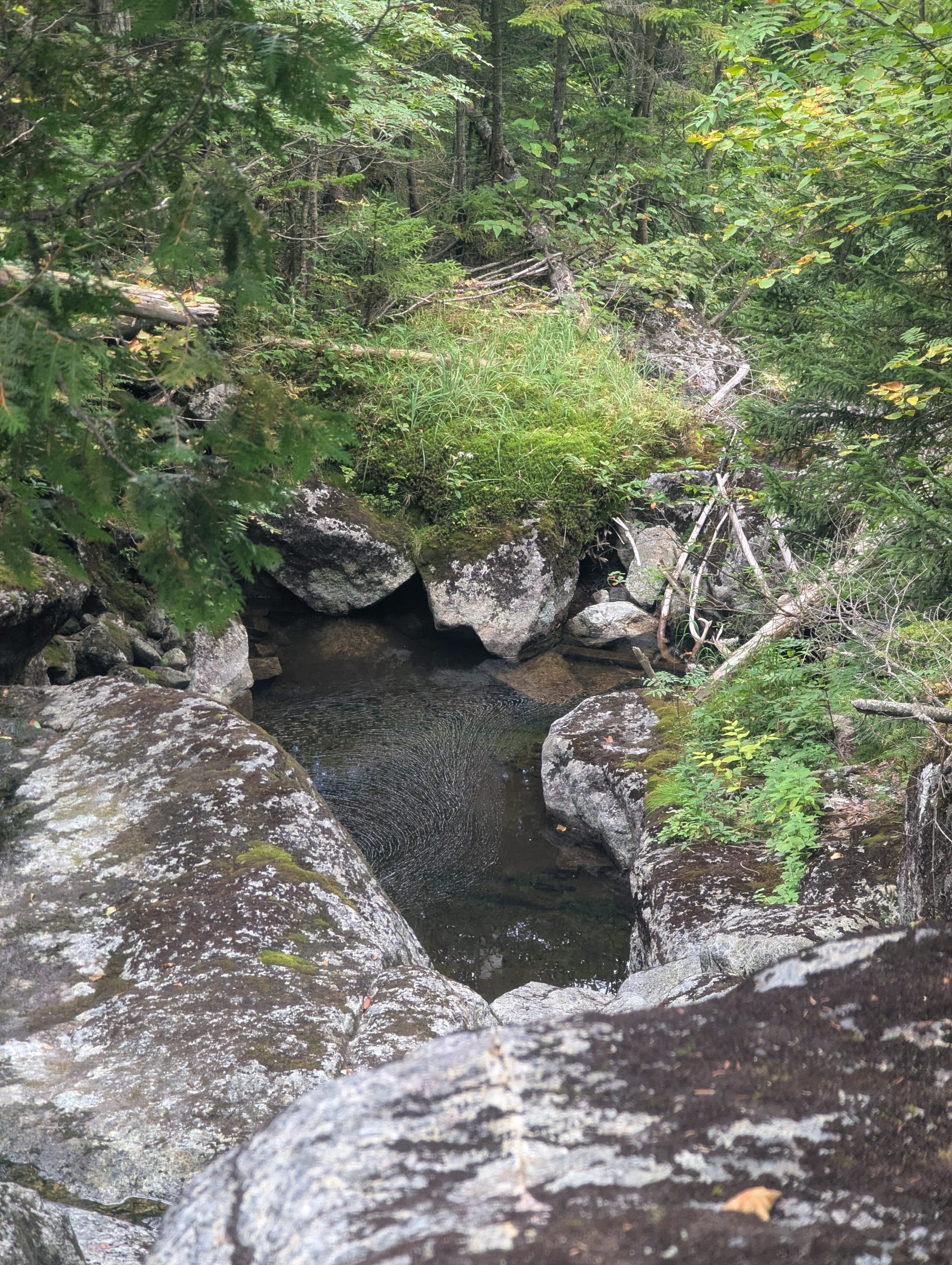
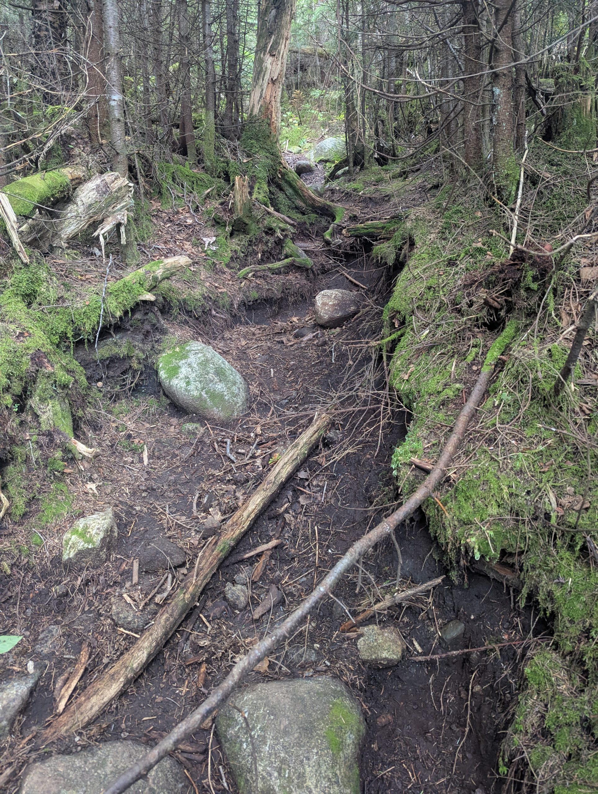
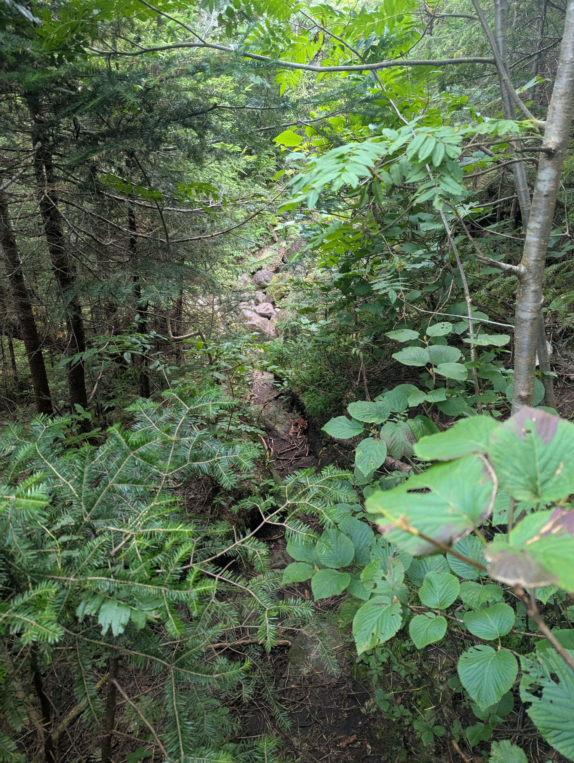
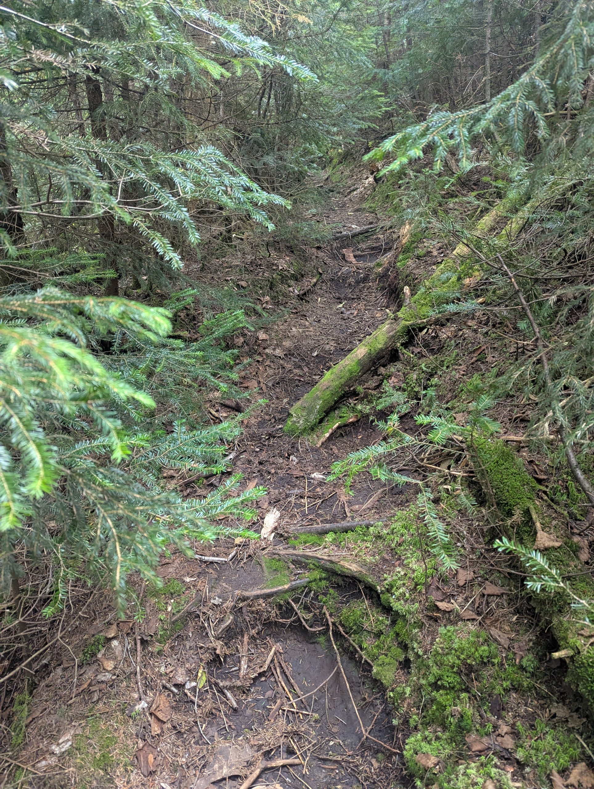
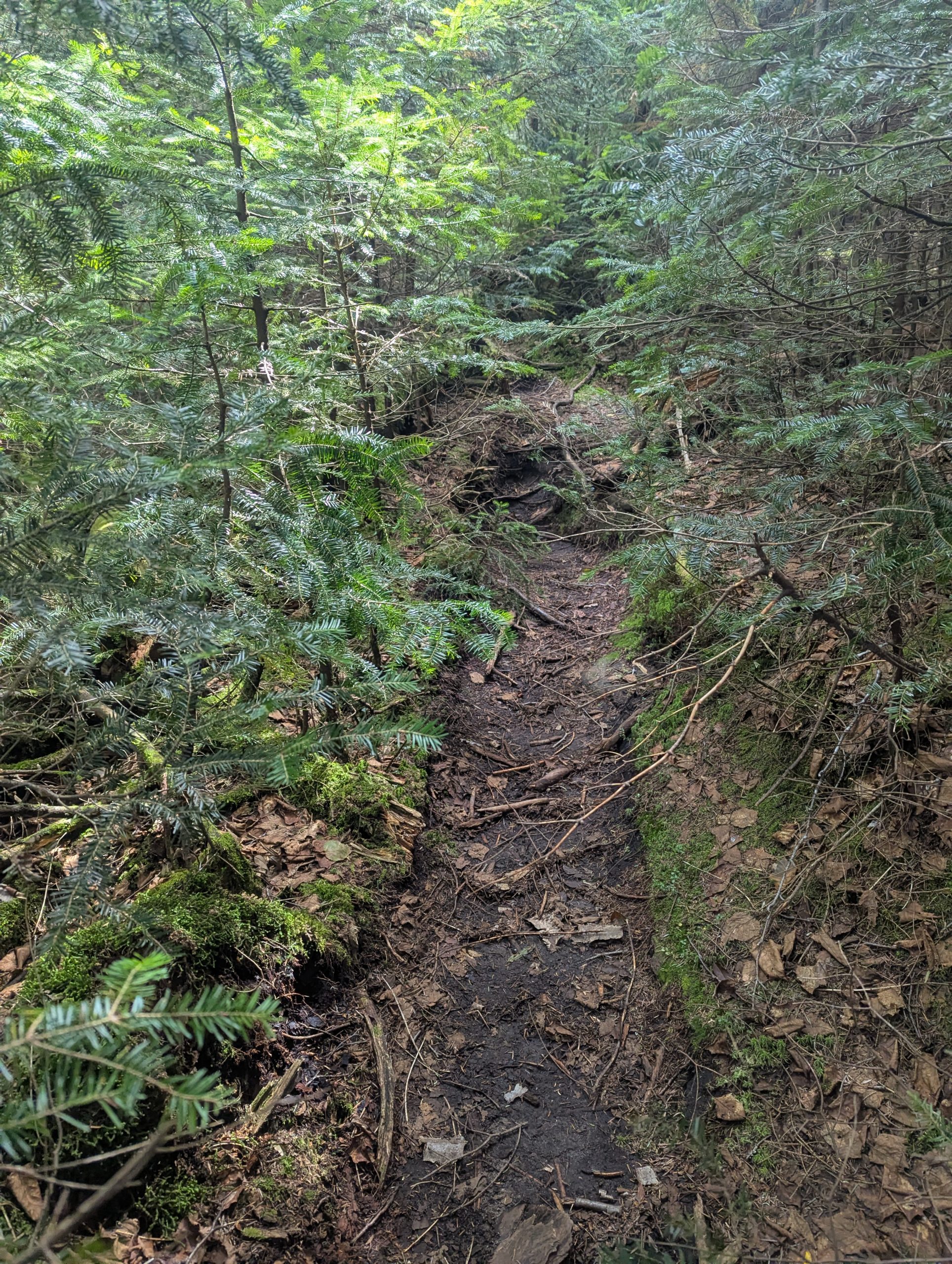
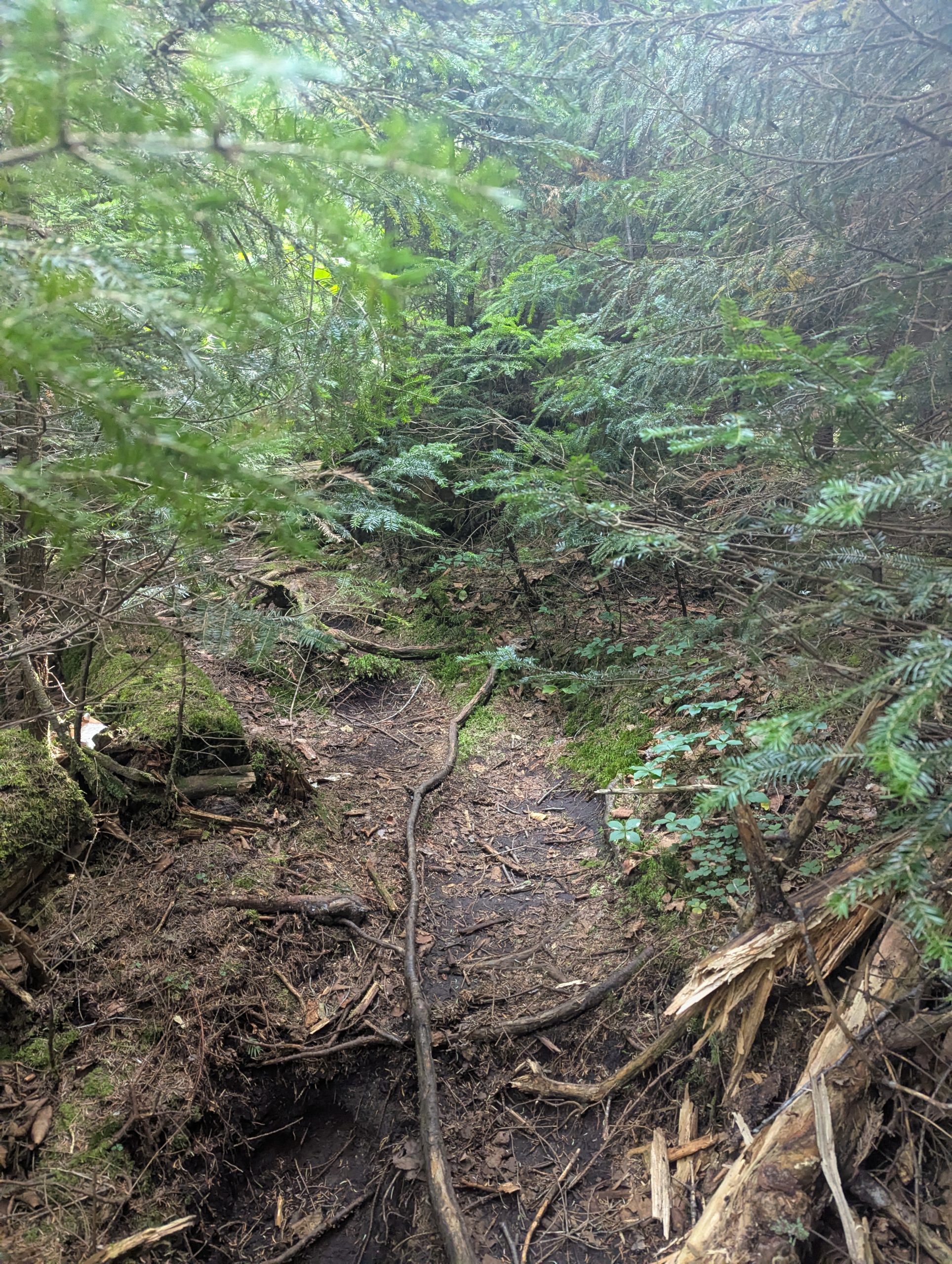
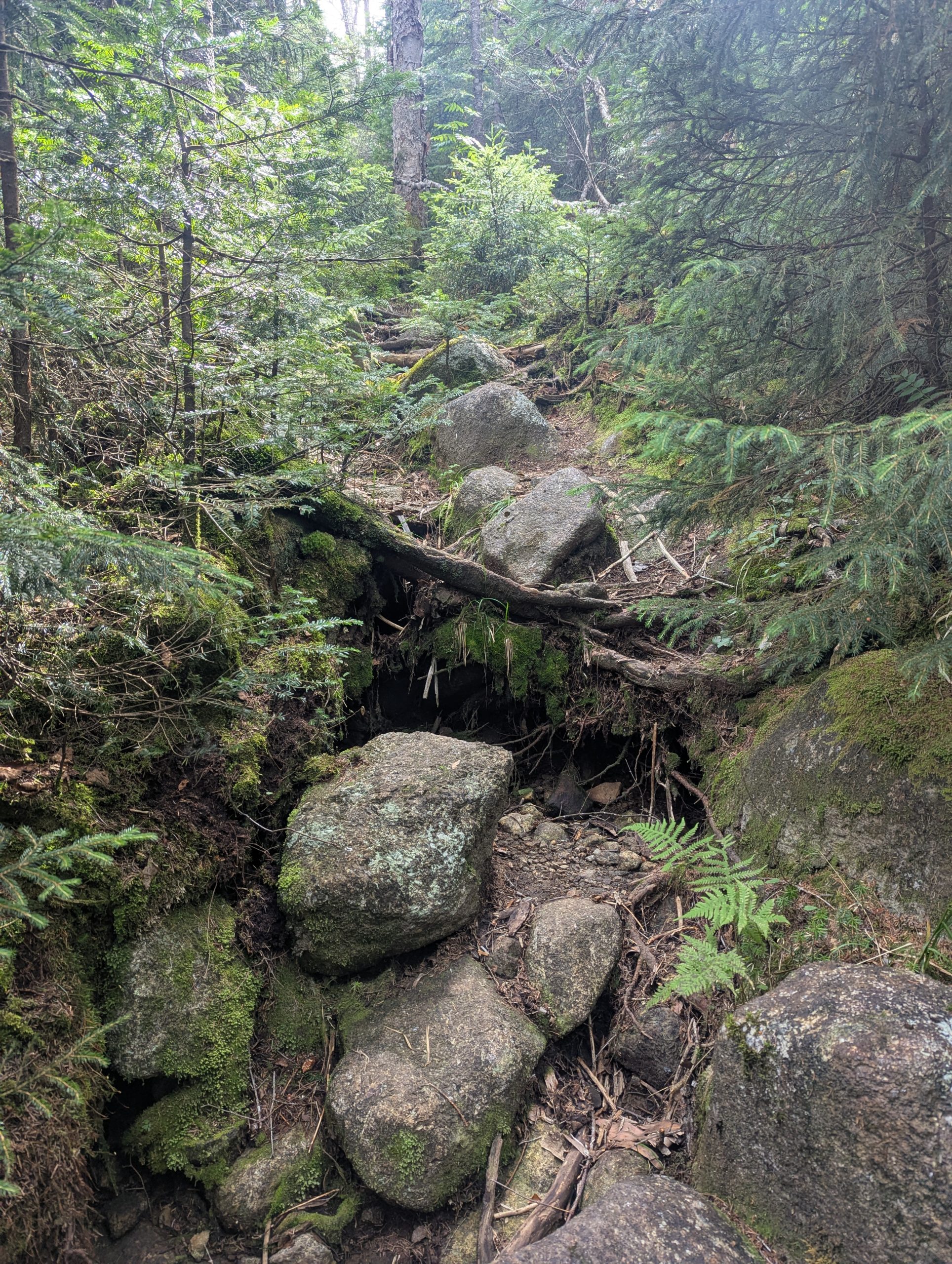
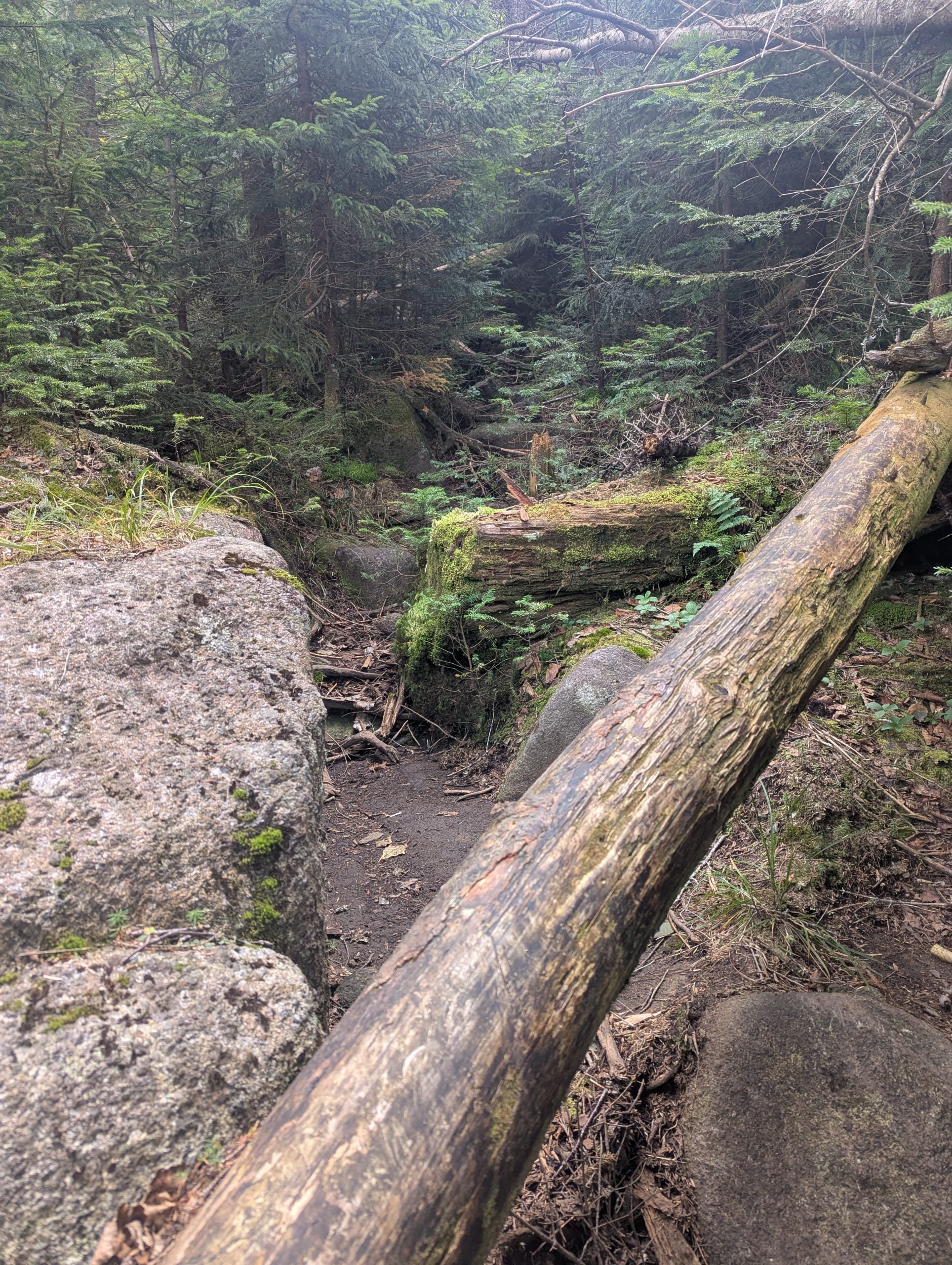
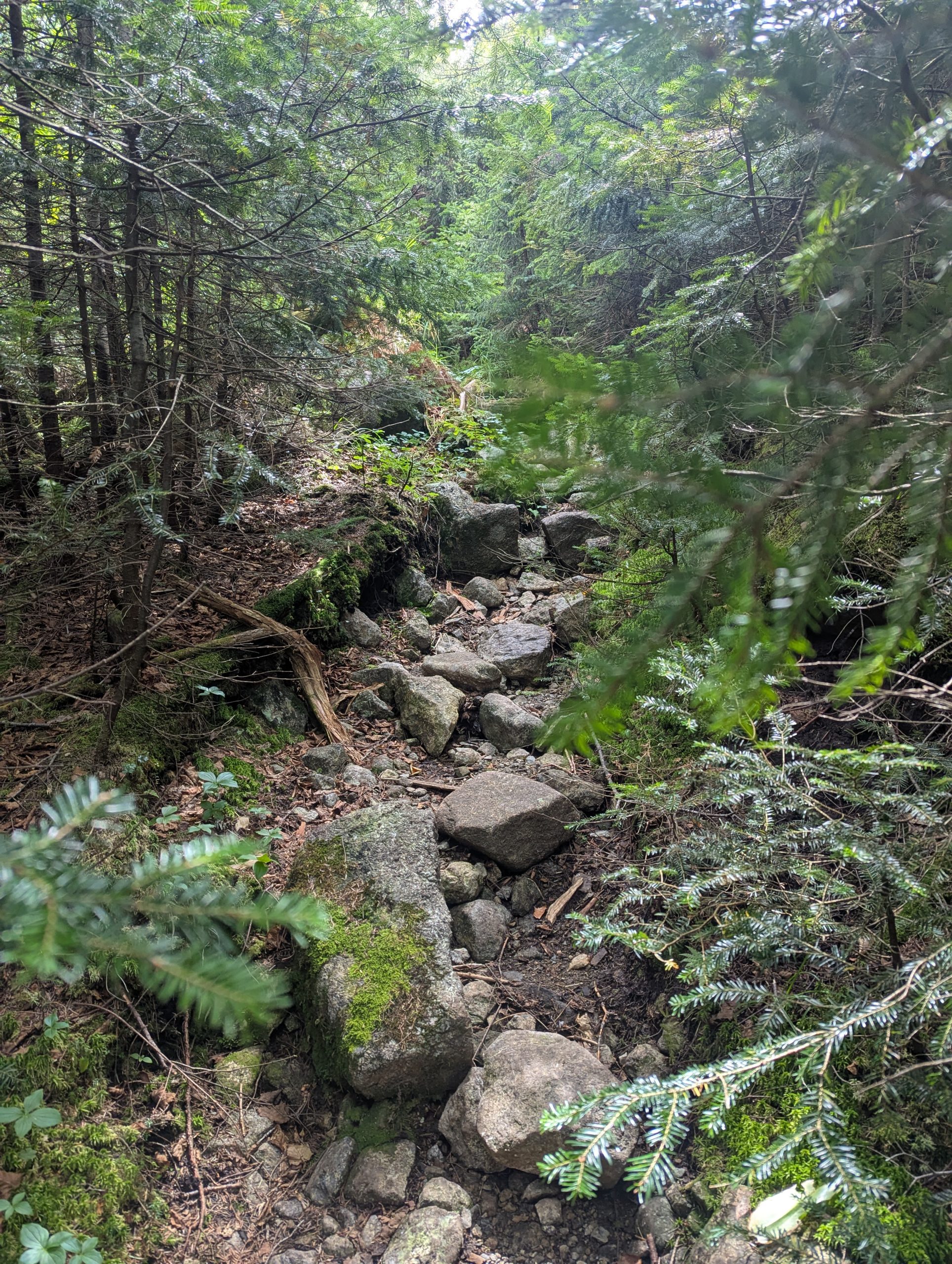
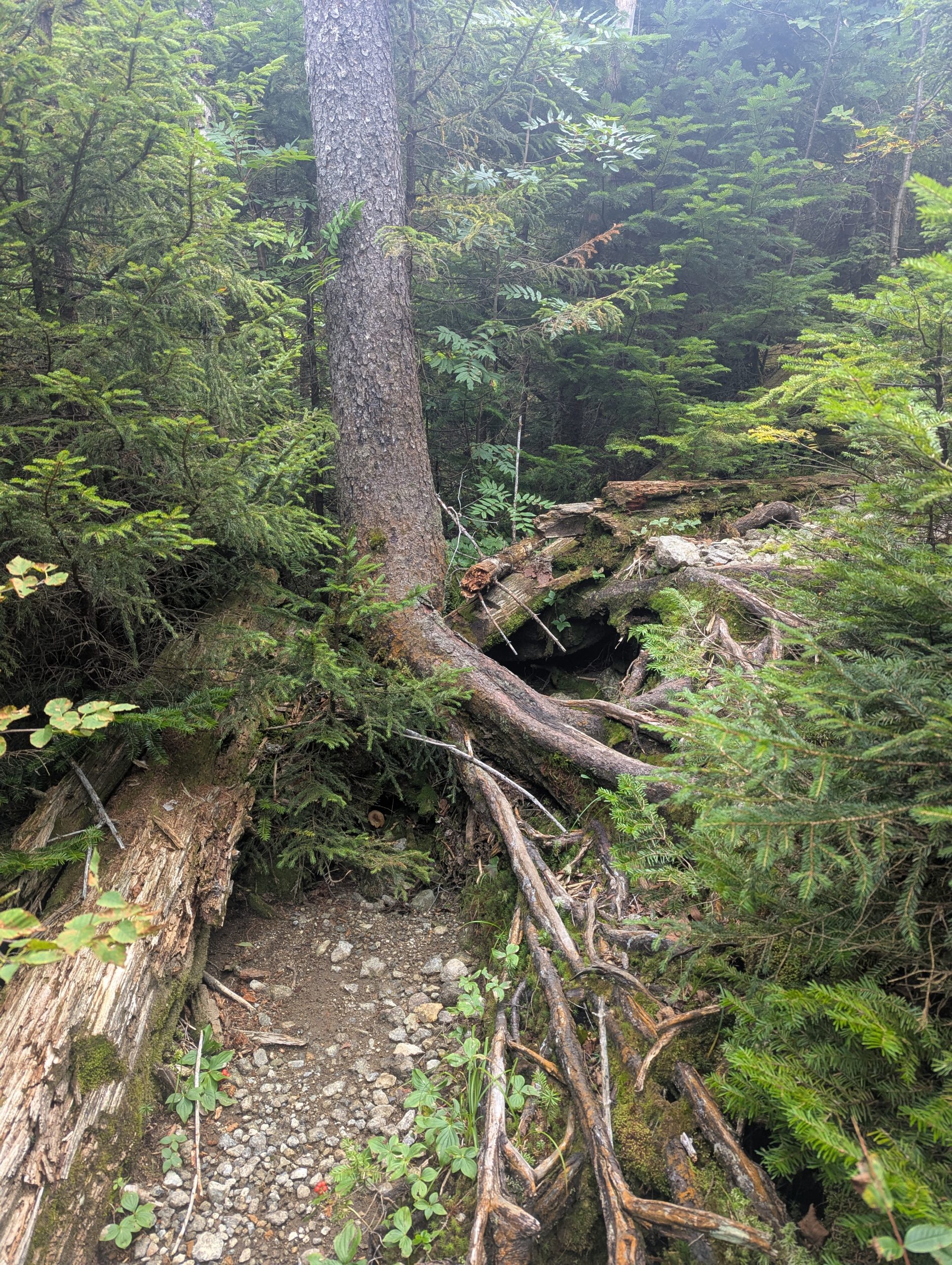
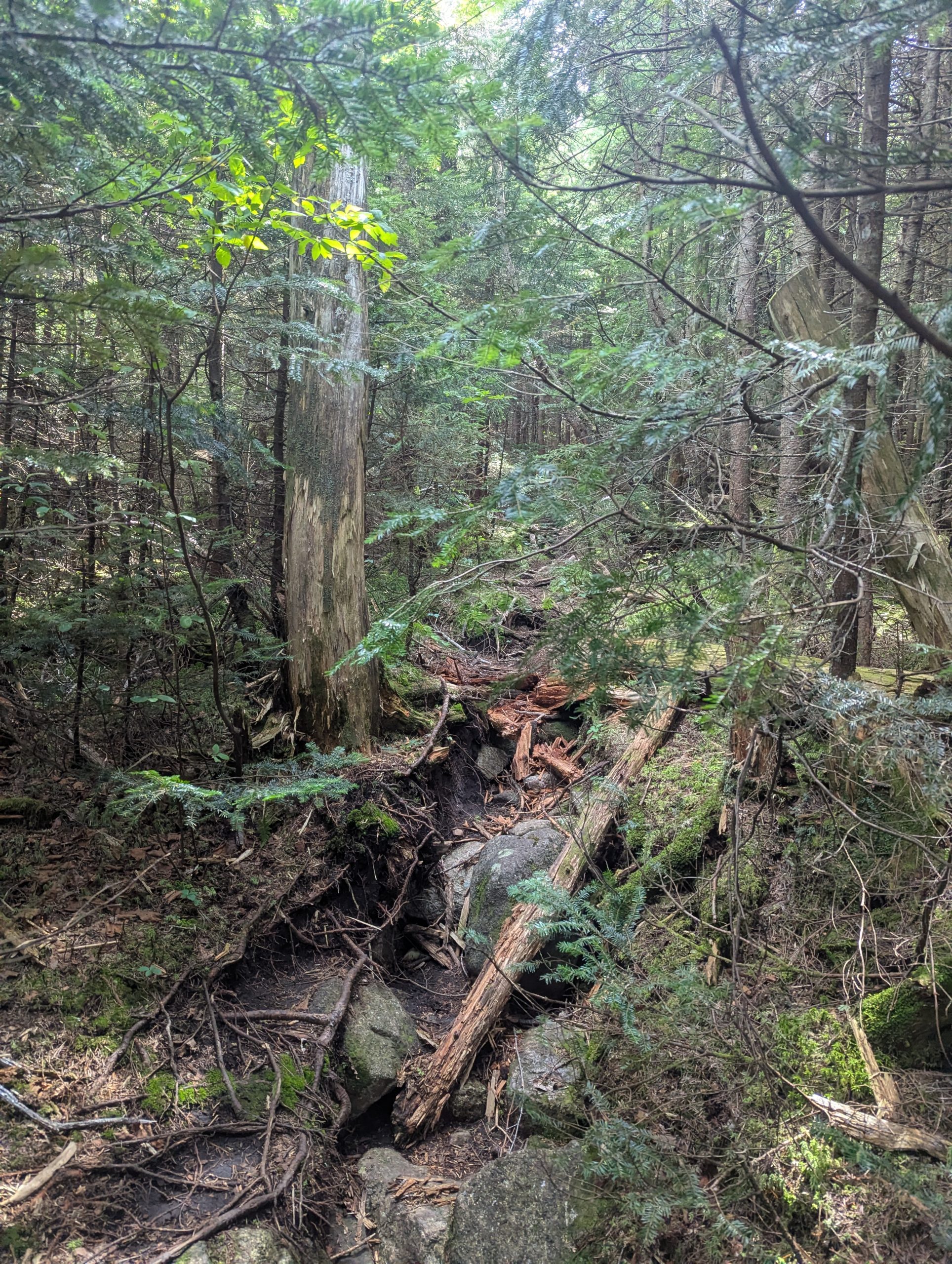
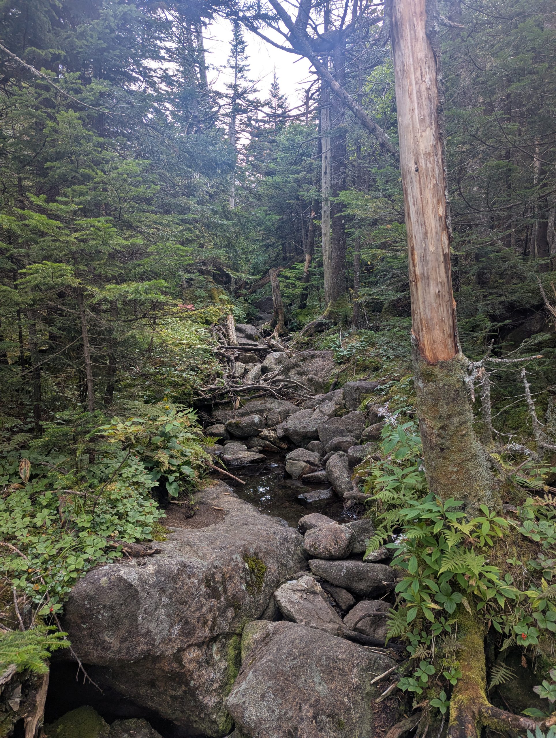
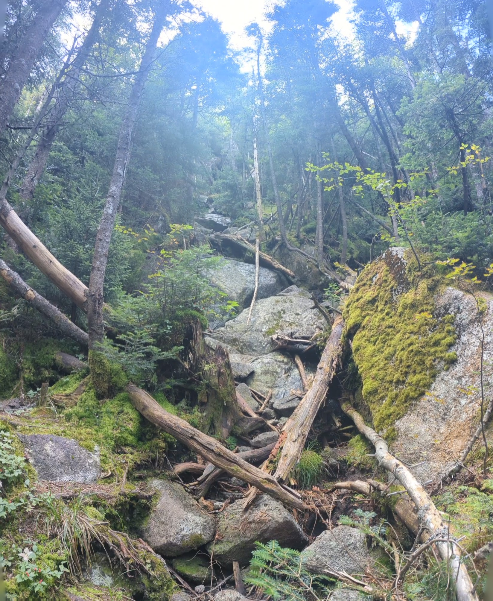
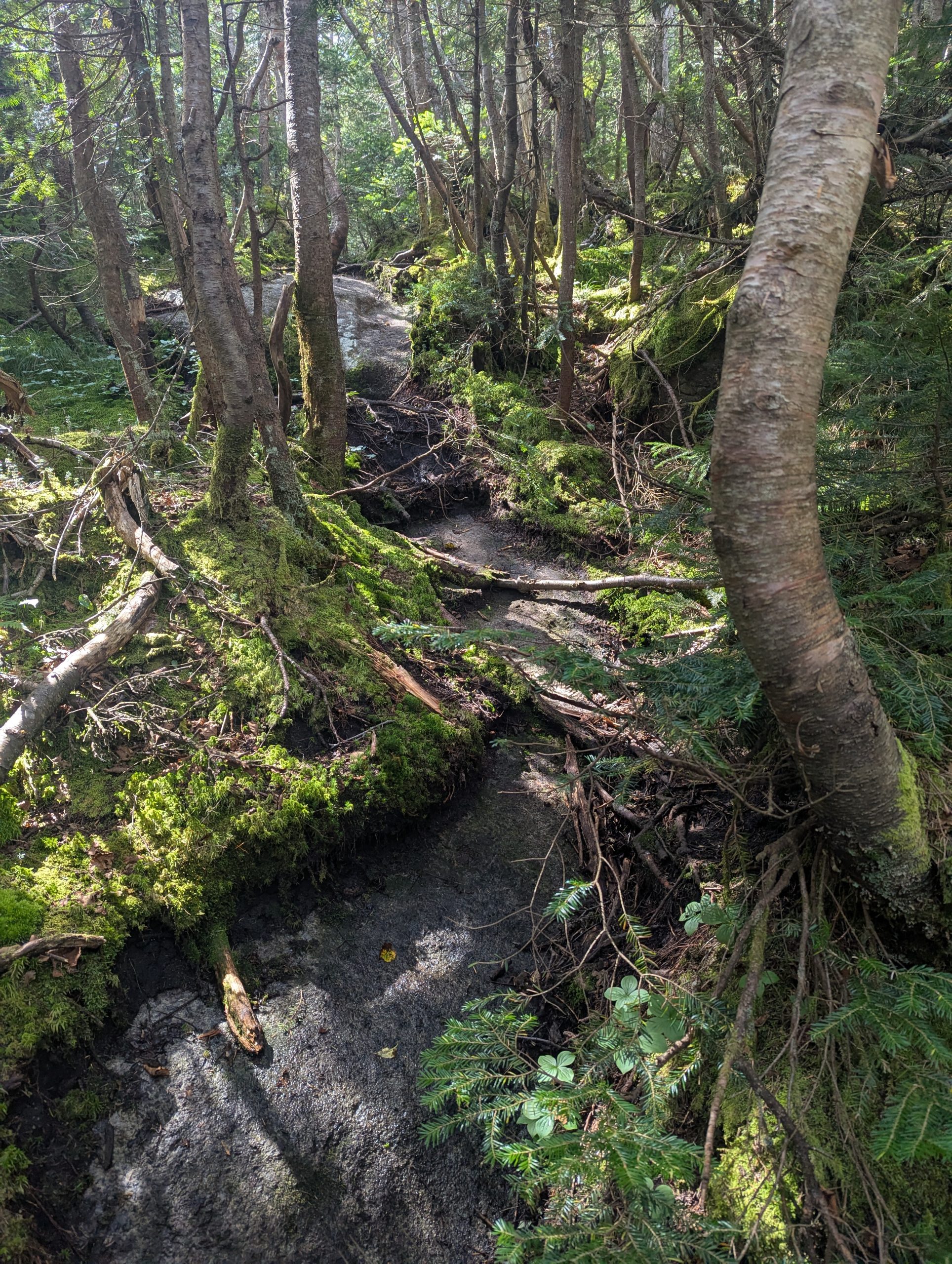
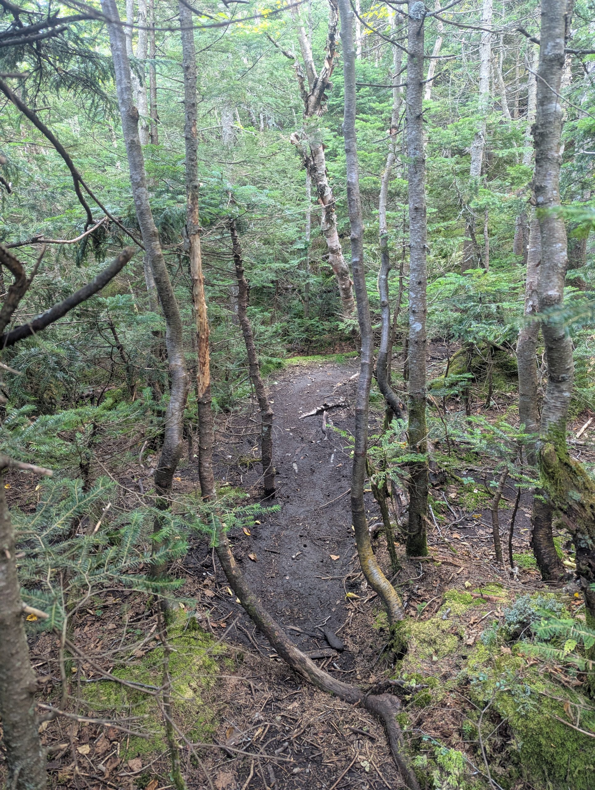
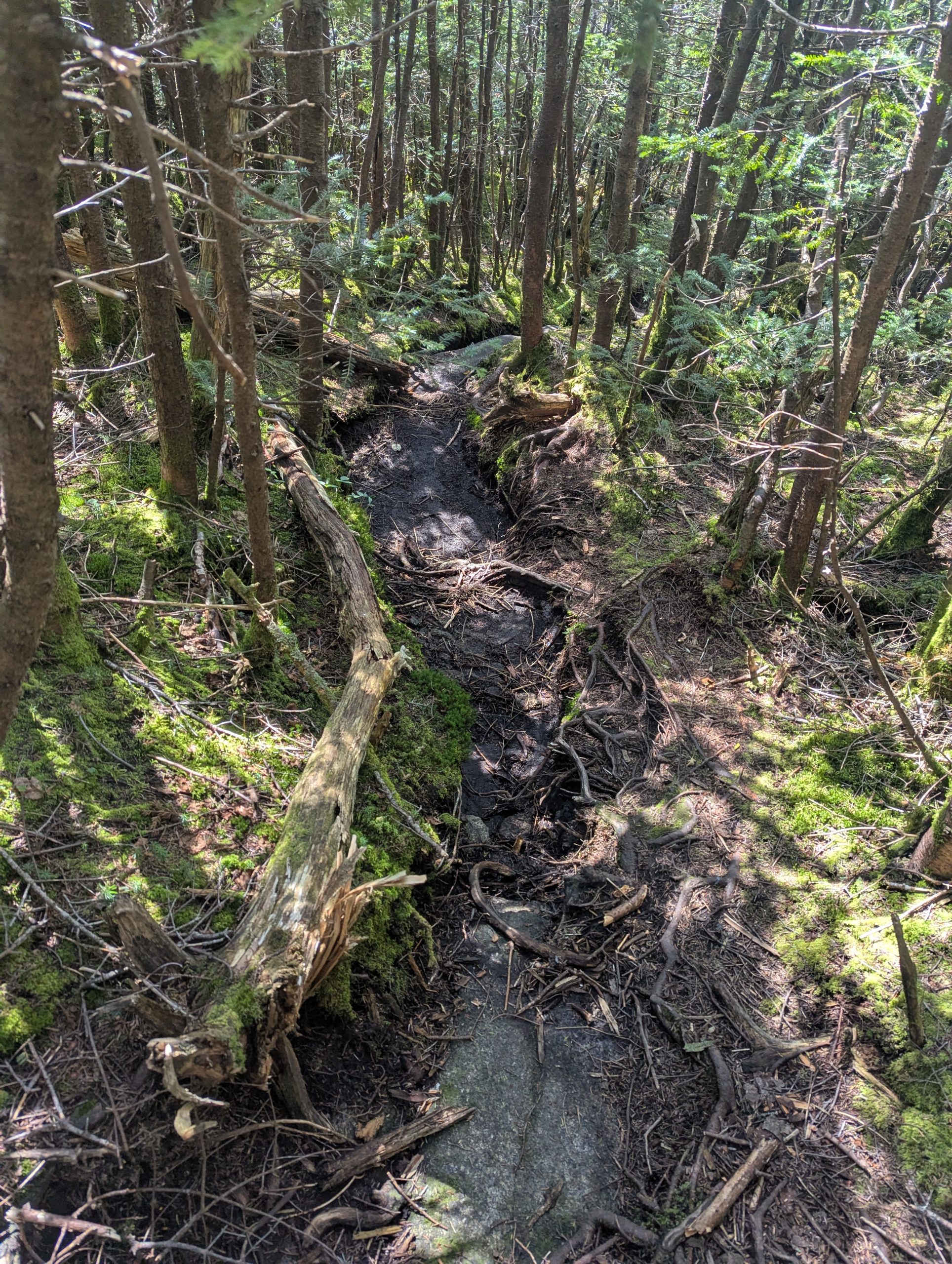
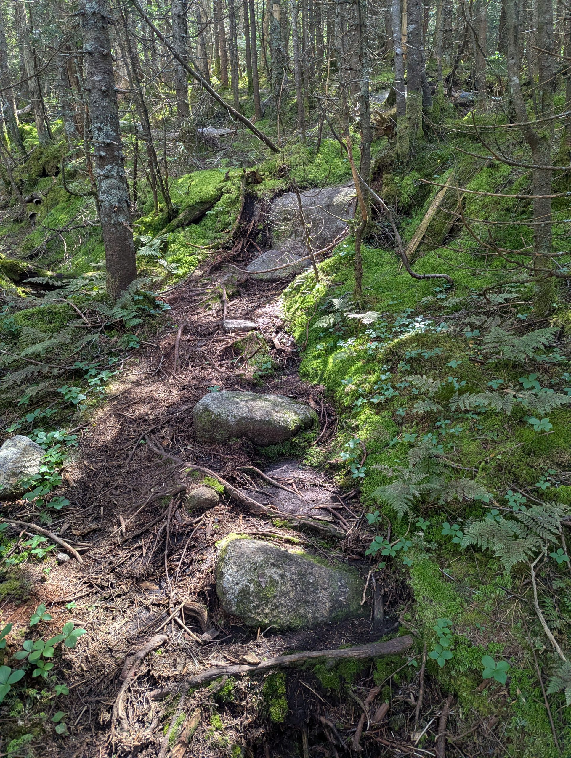
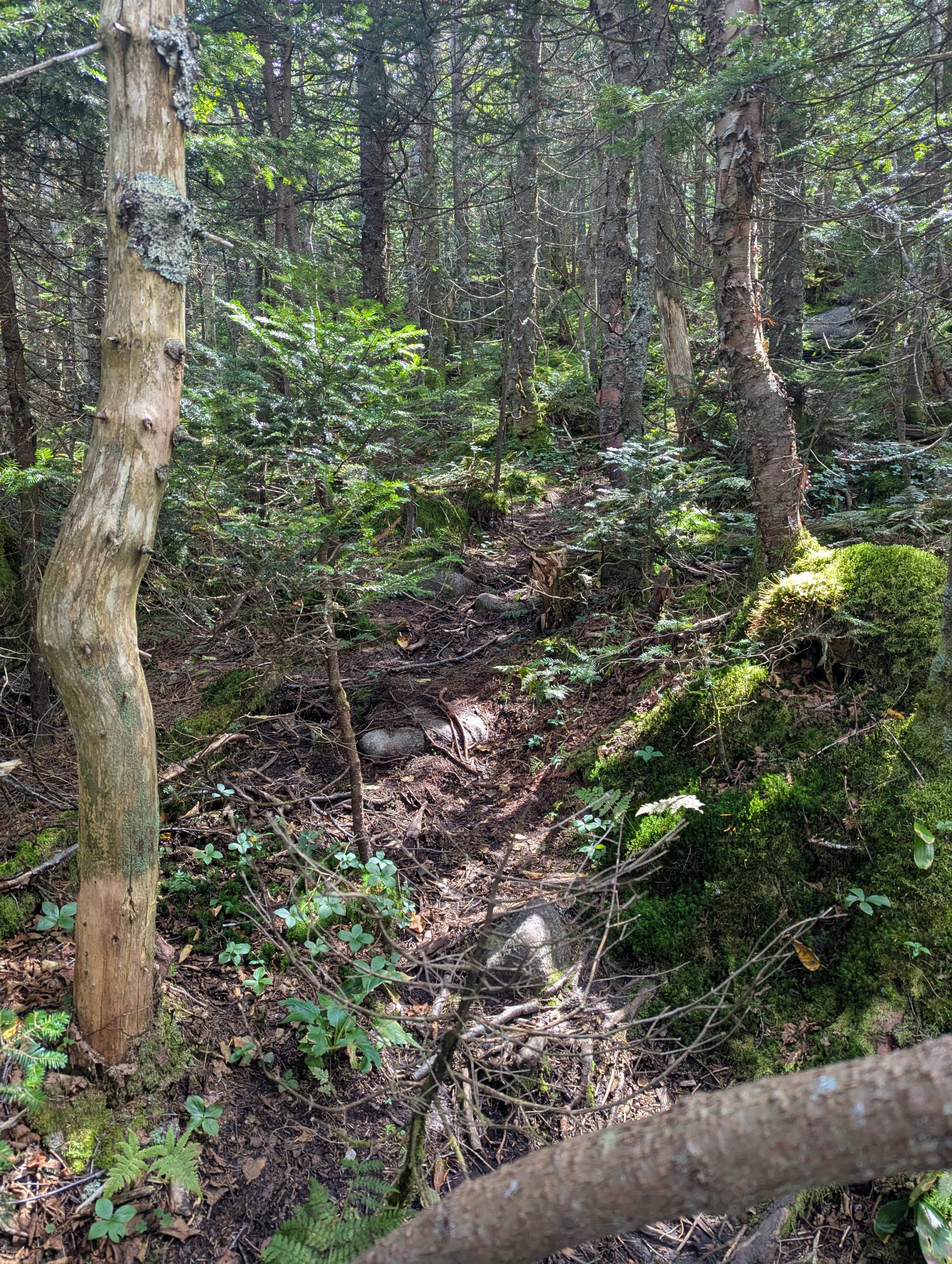
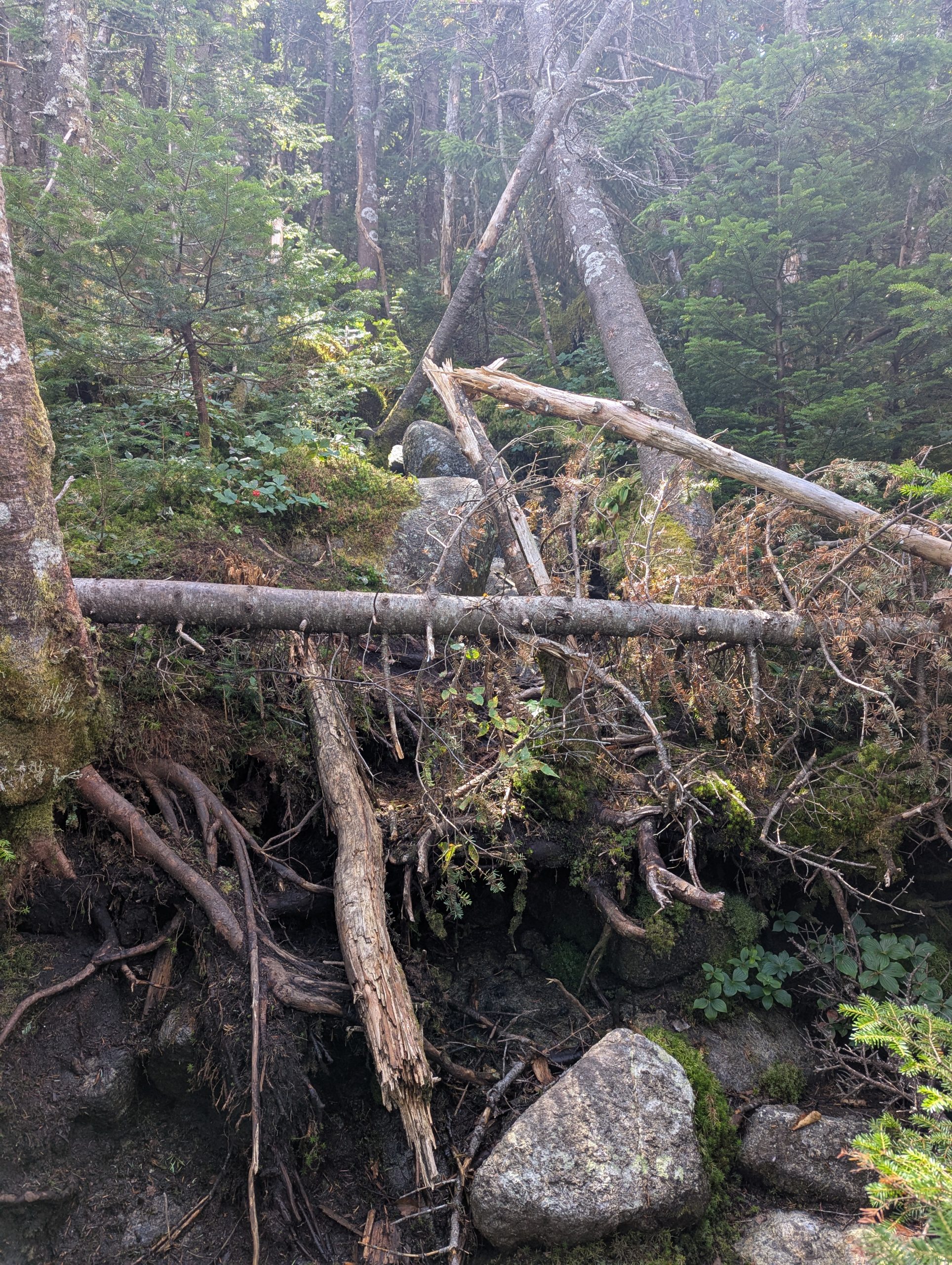
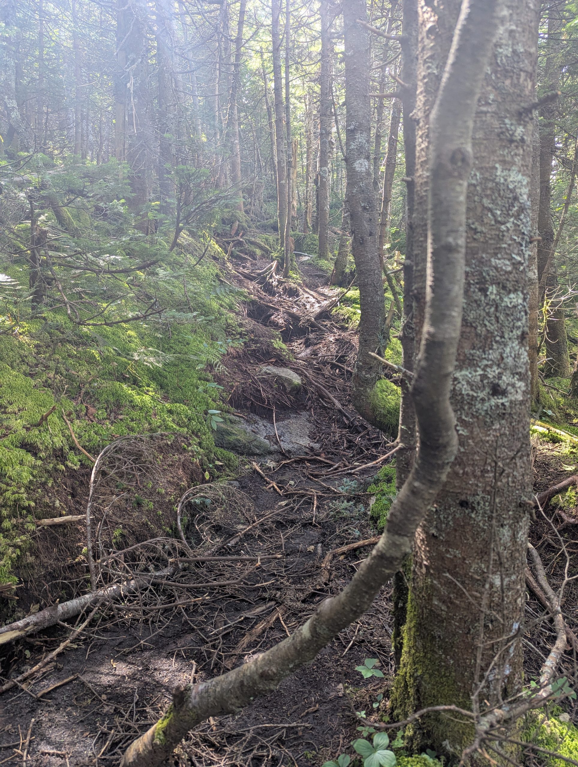
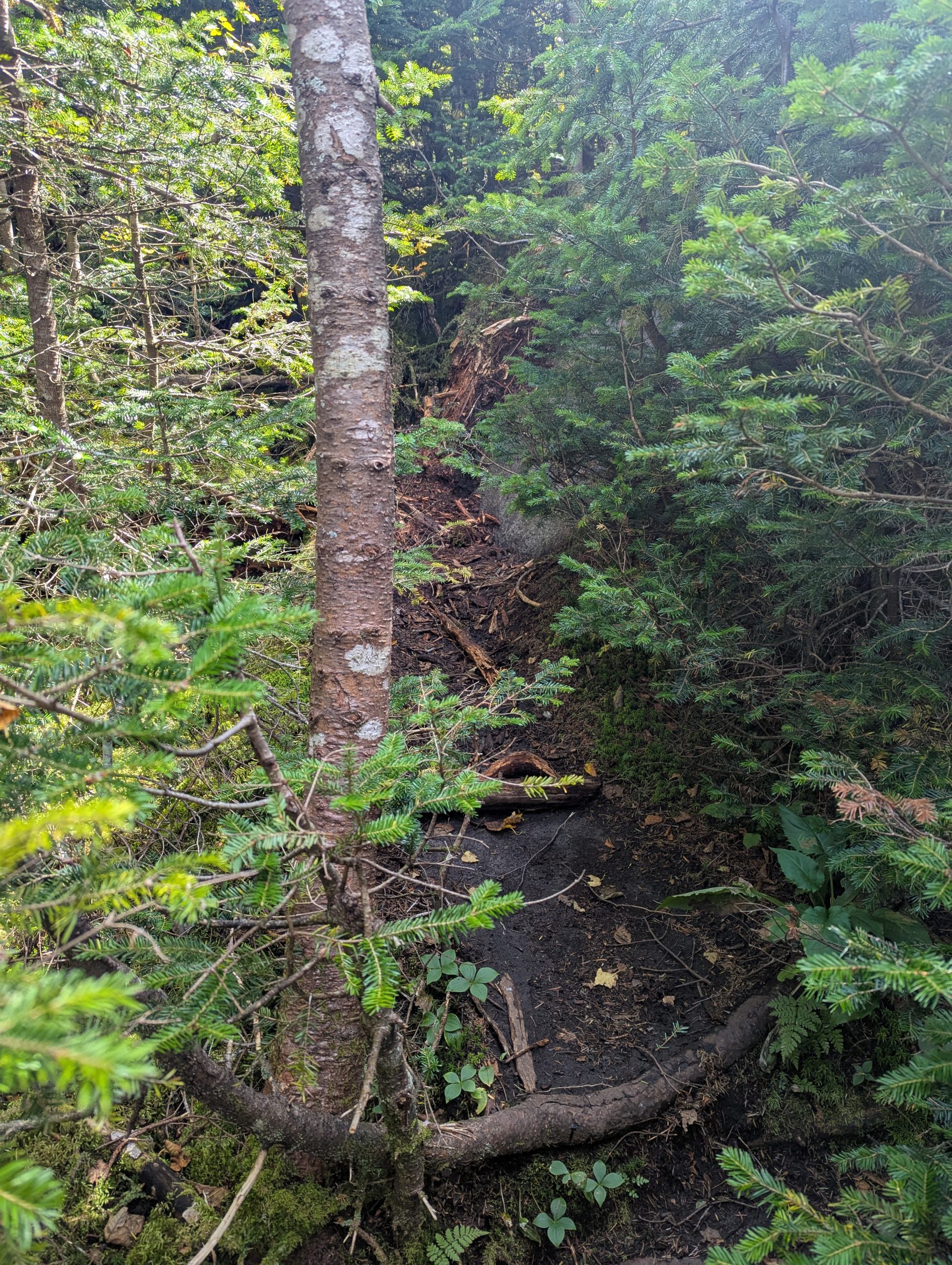
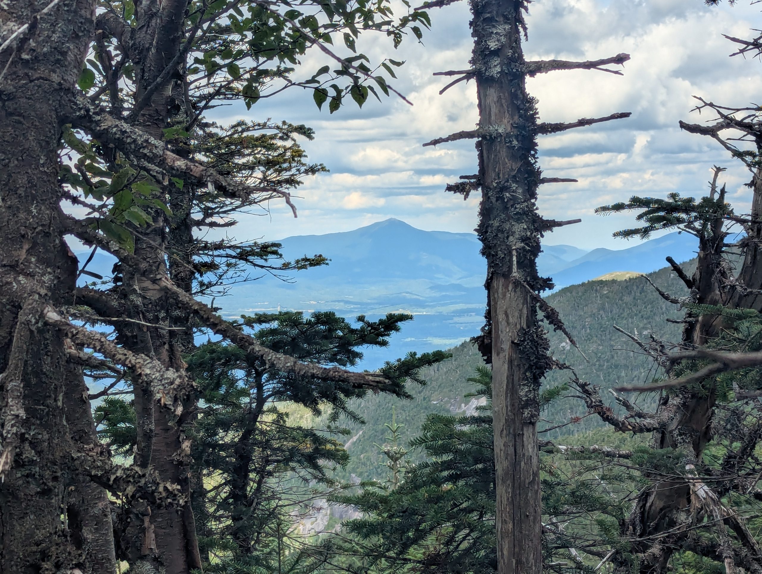
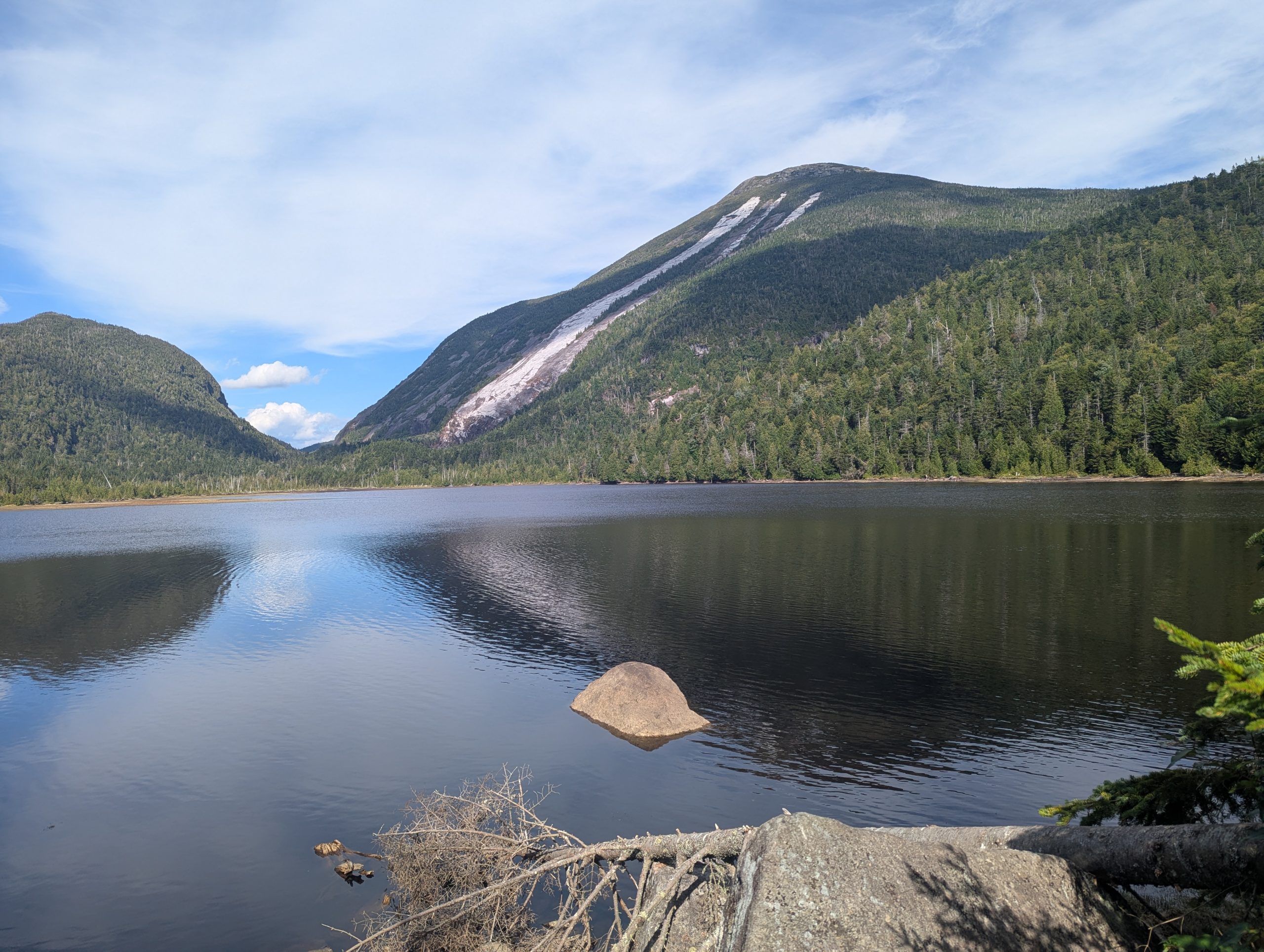
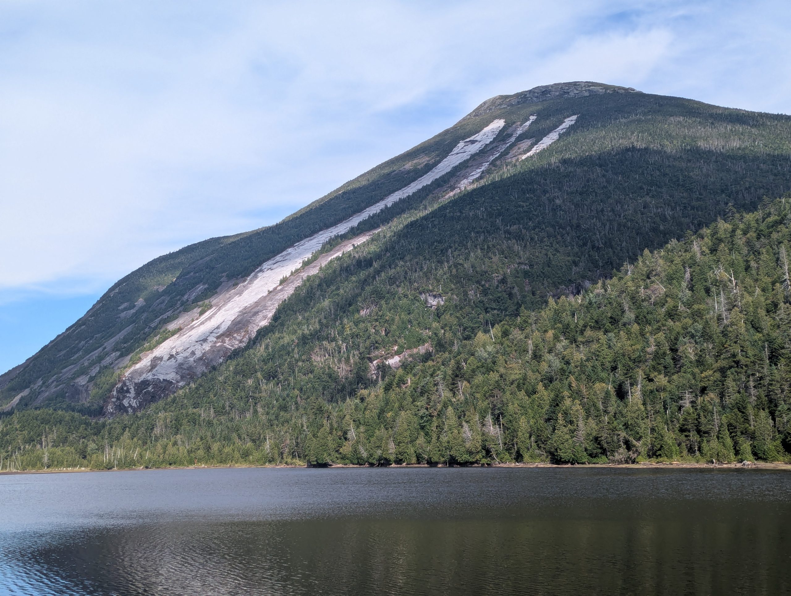
The turn onto Cold Brook marks the first real shift in the character of the trail. The path shrinks to a narrow corridor hemmed in by brush, with angled slabs, lingering damp patches, and the kind of uneven footing that forces a slower pace even when conditions are mostly dry. Blow down and debris from earlier storms were still present in a few places, nothing major but enough to require occasional detours or step-overs. Clearings were rare, but the few that existed offered brief glimpses back toward Wallface, one of the few back-country big wall climbs in the Adirondacks.
Final Push to Marshall’s Summit
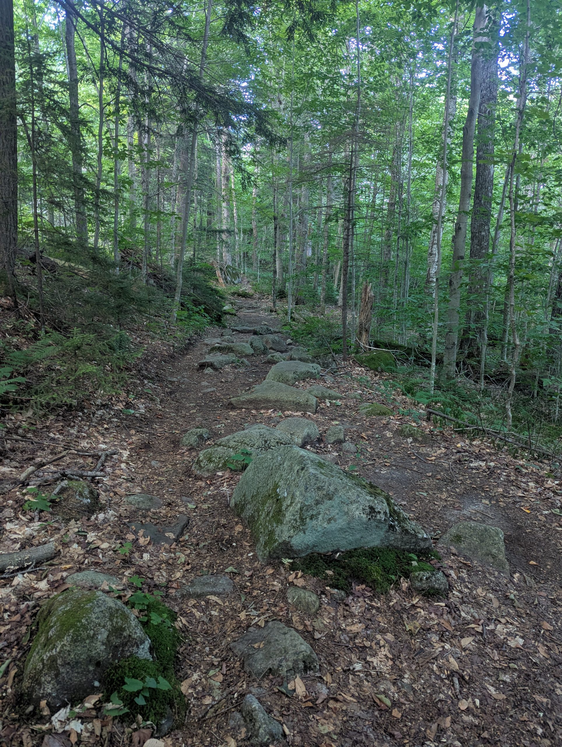
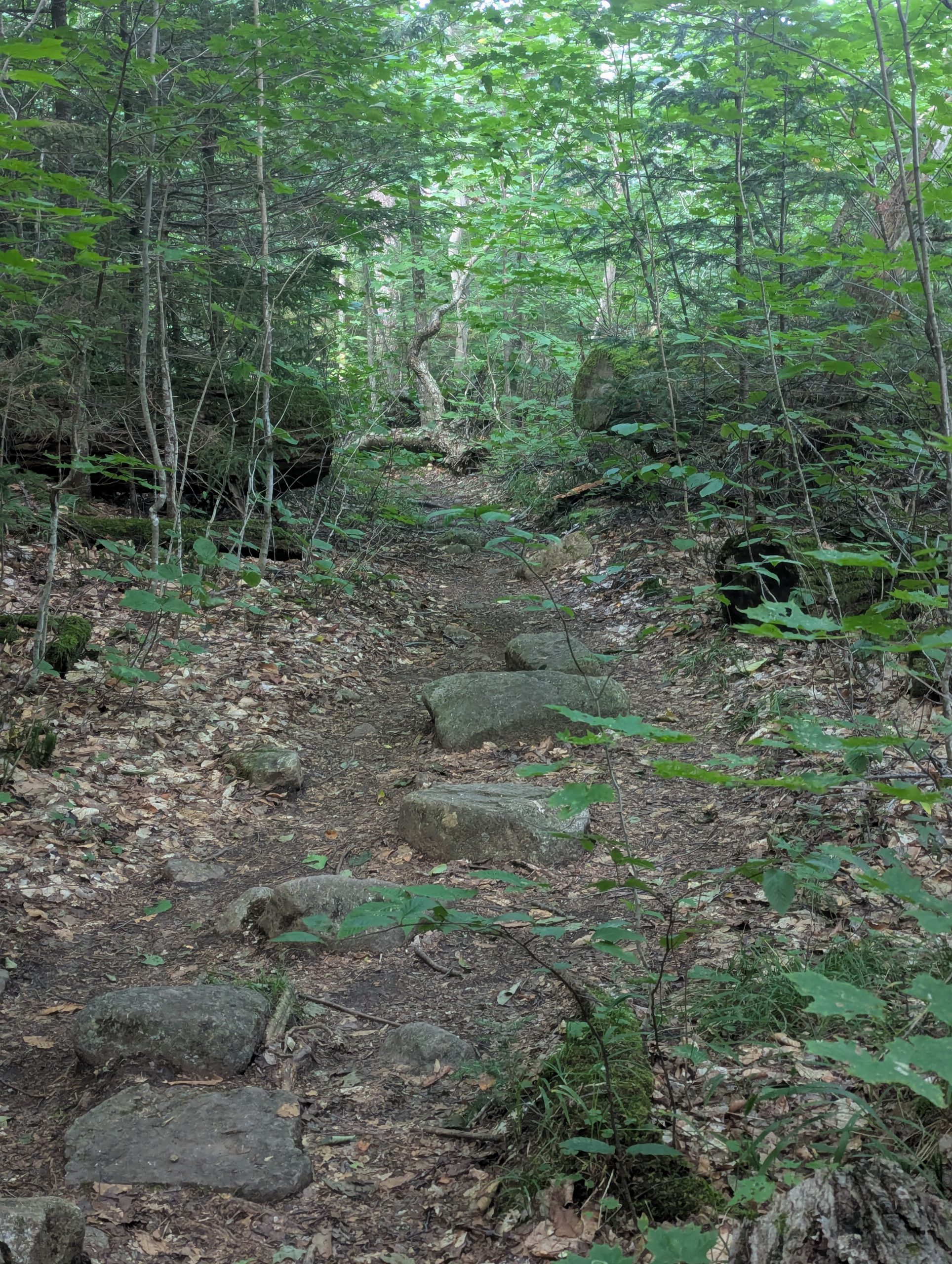
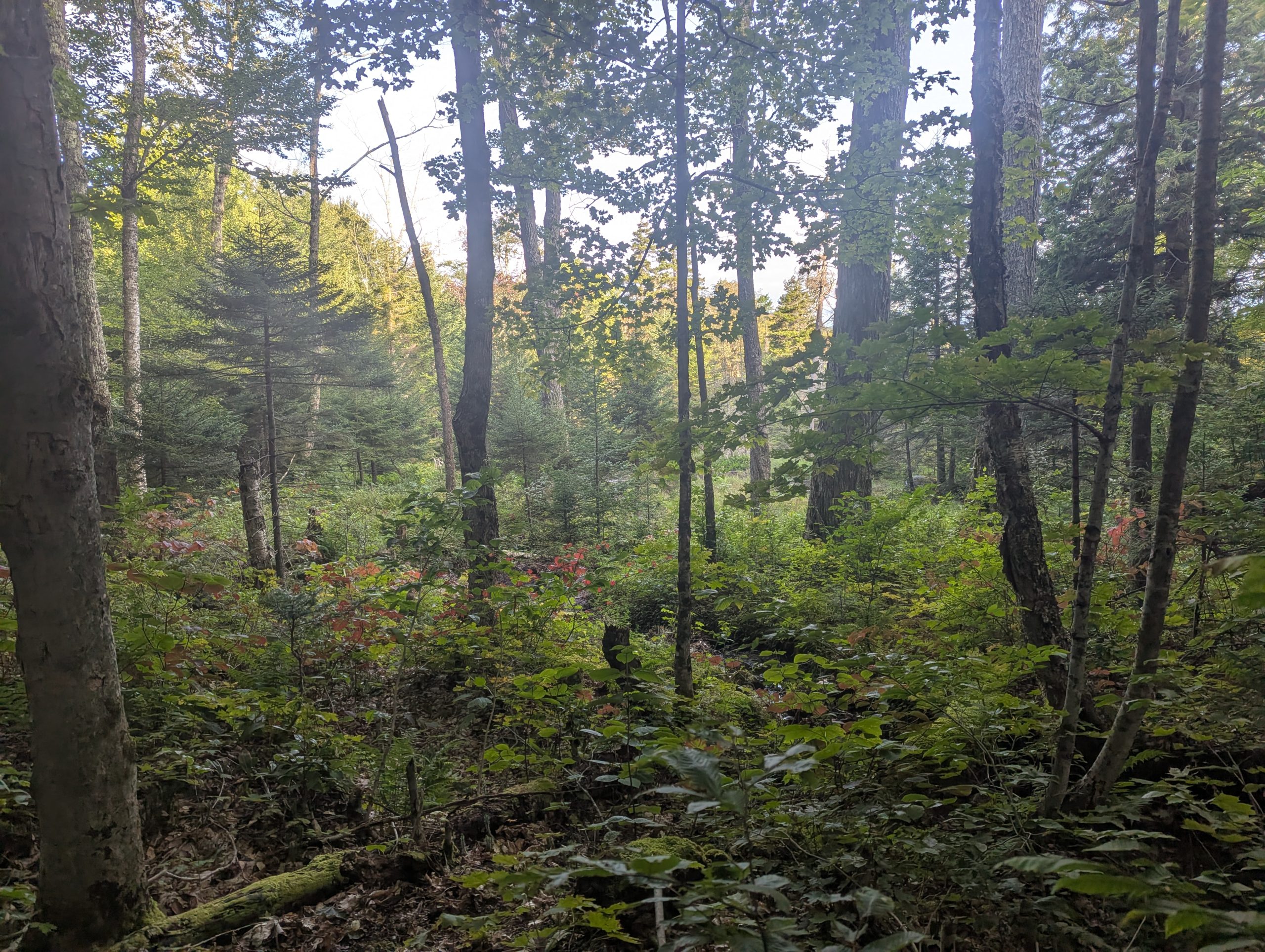
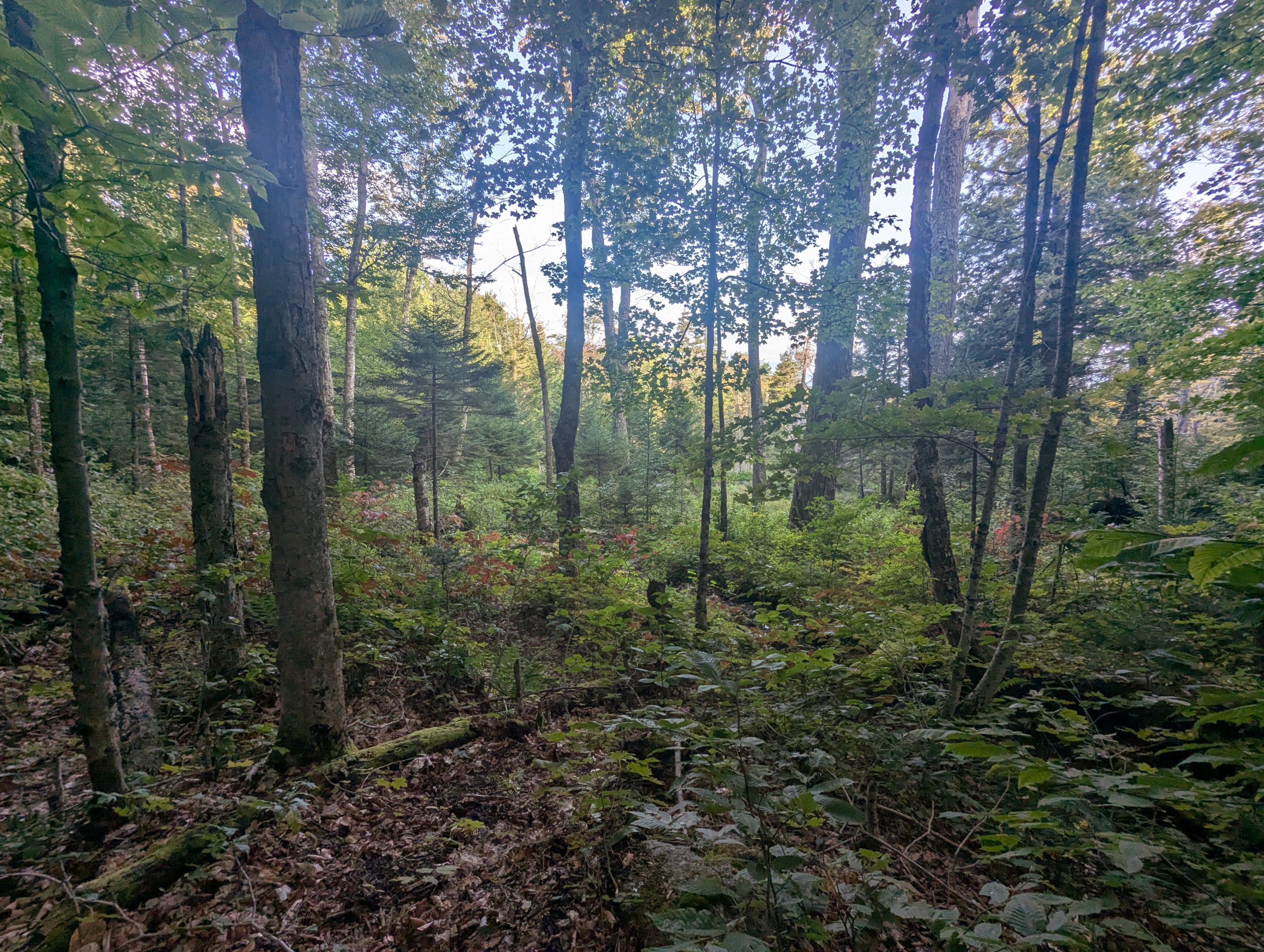
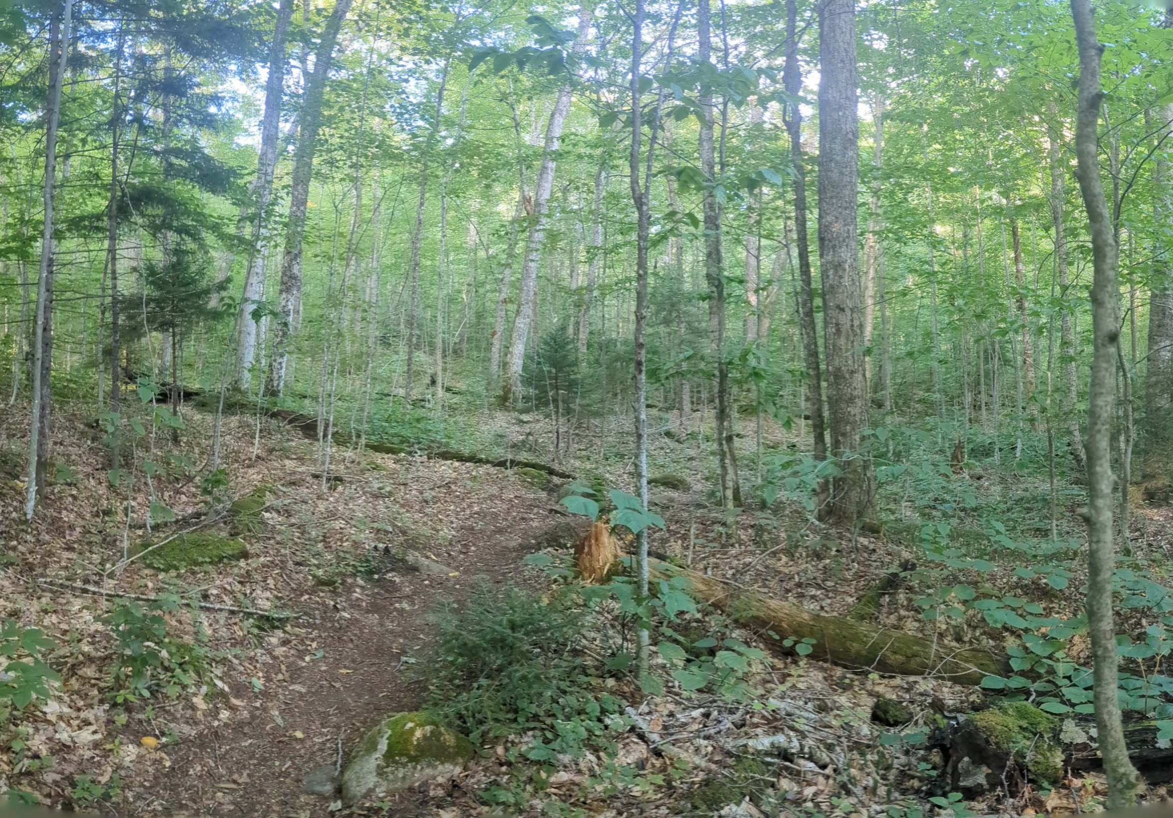
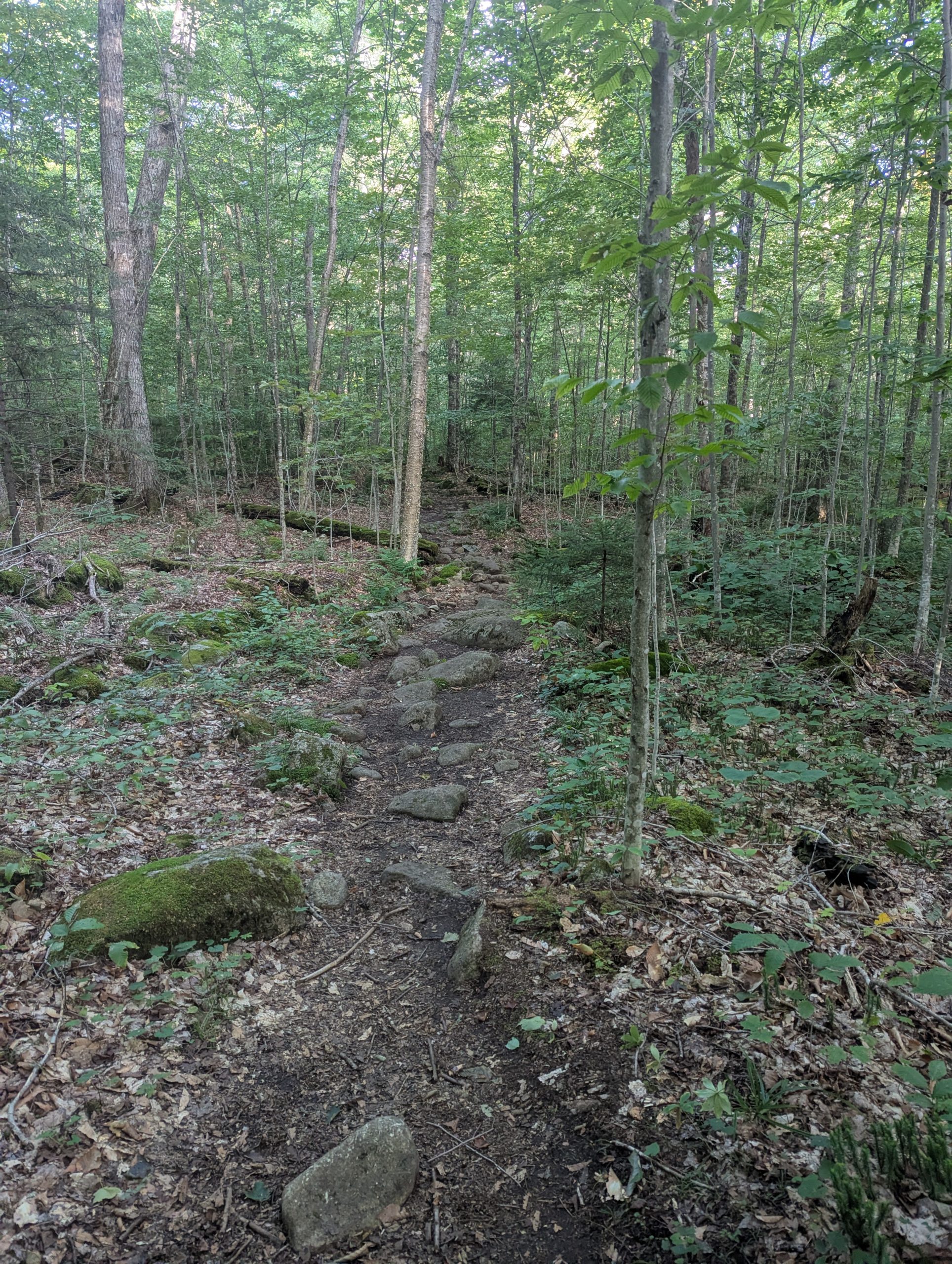
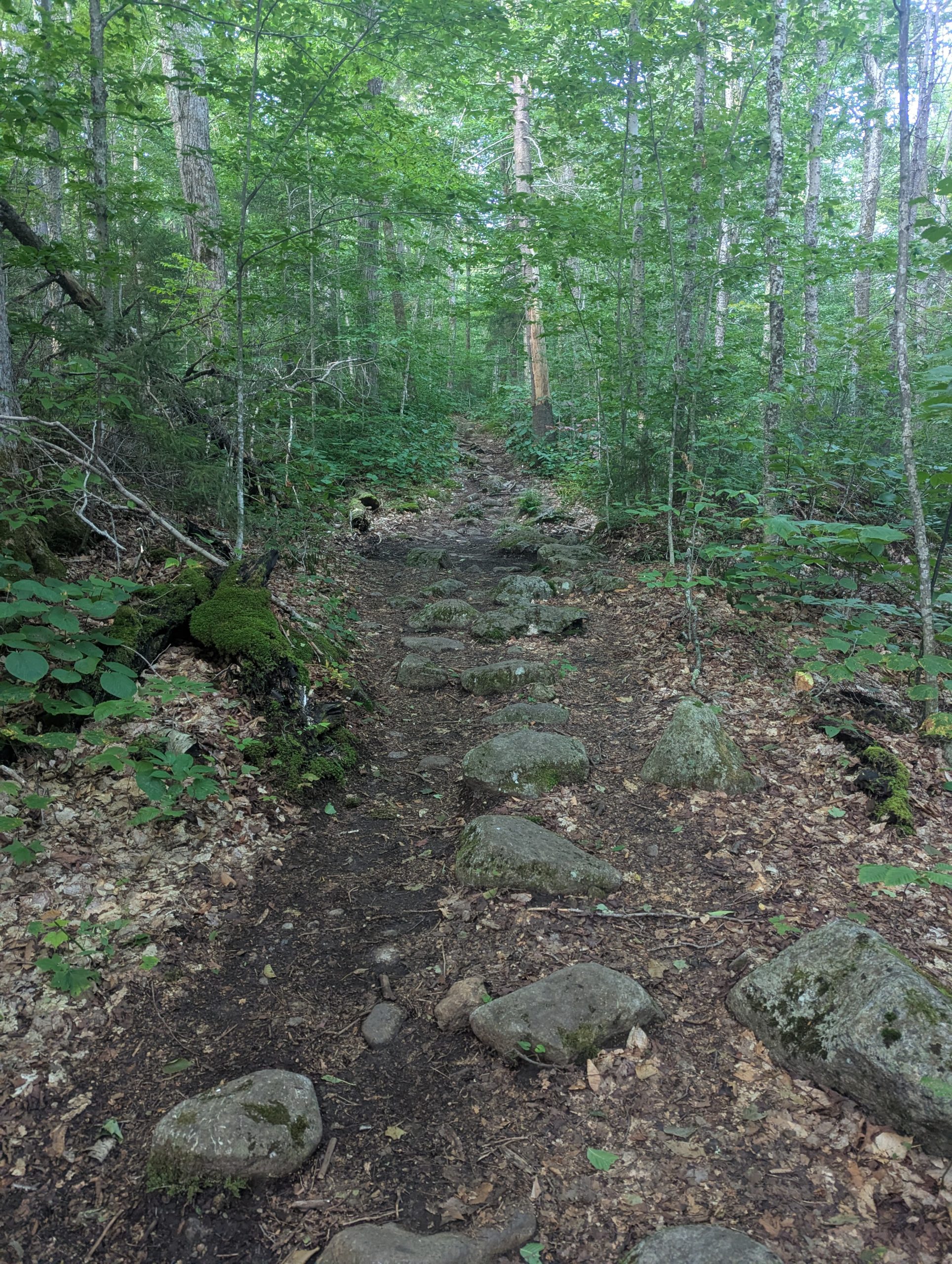
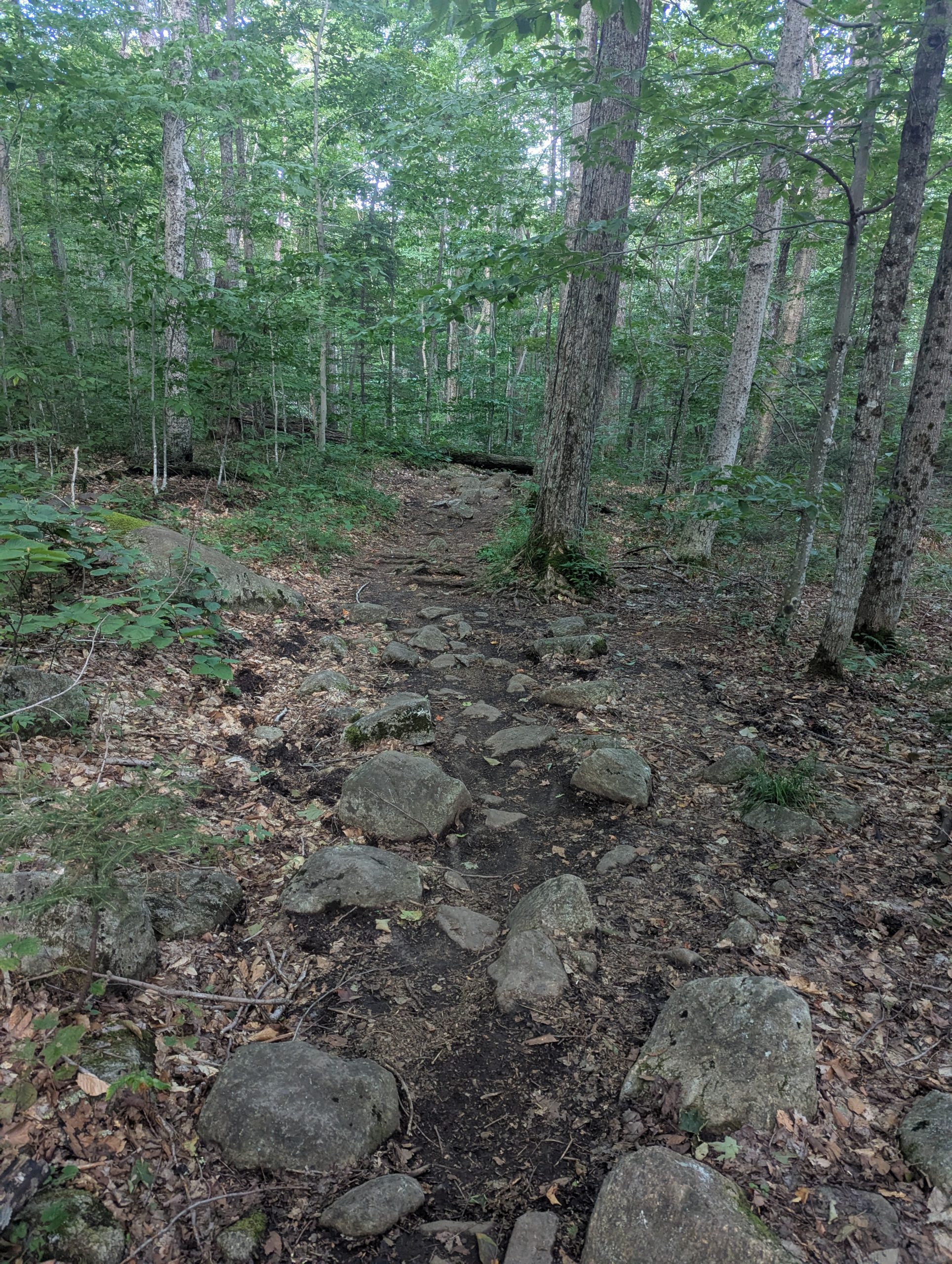
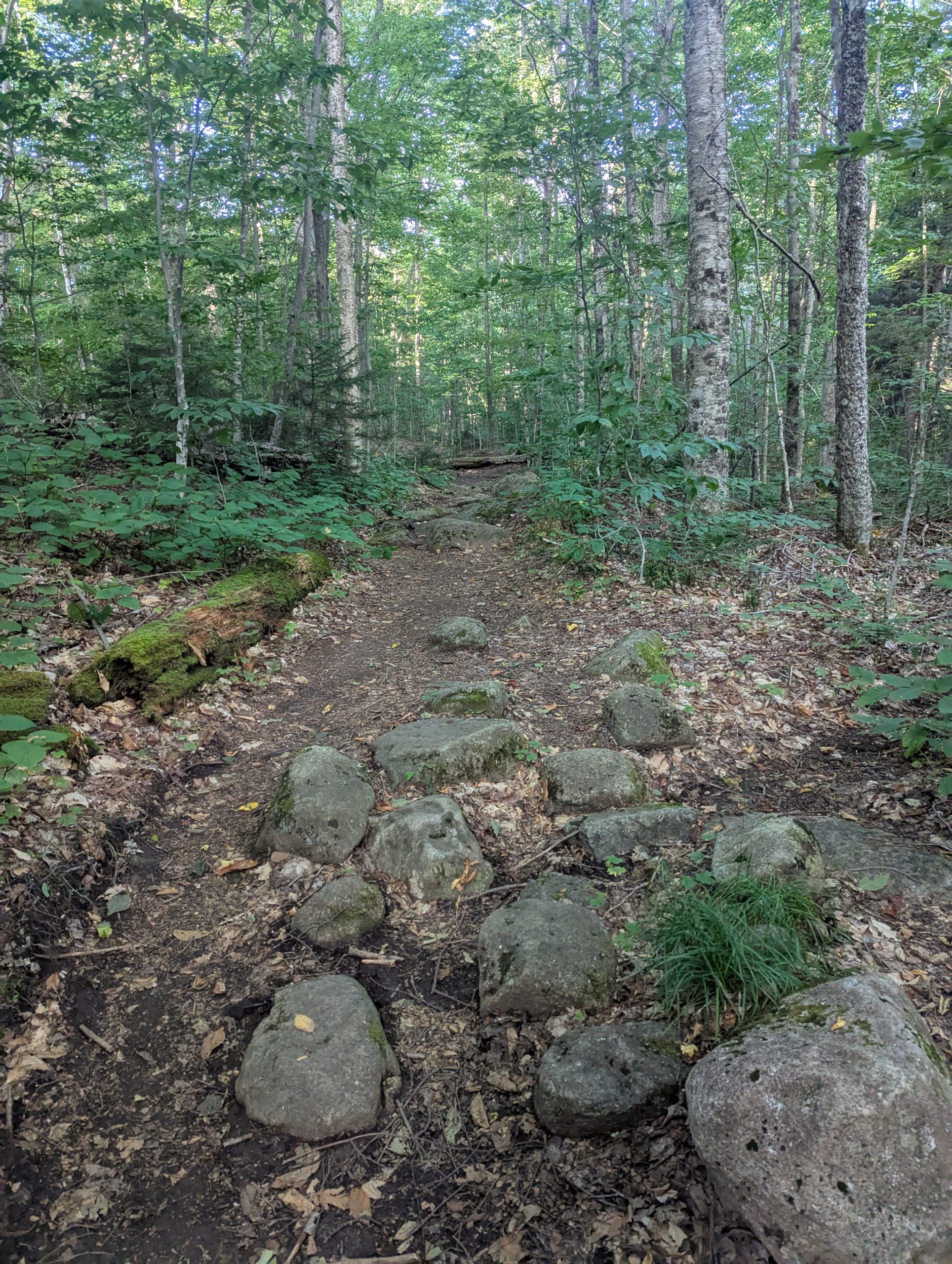
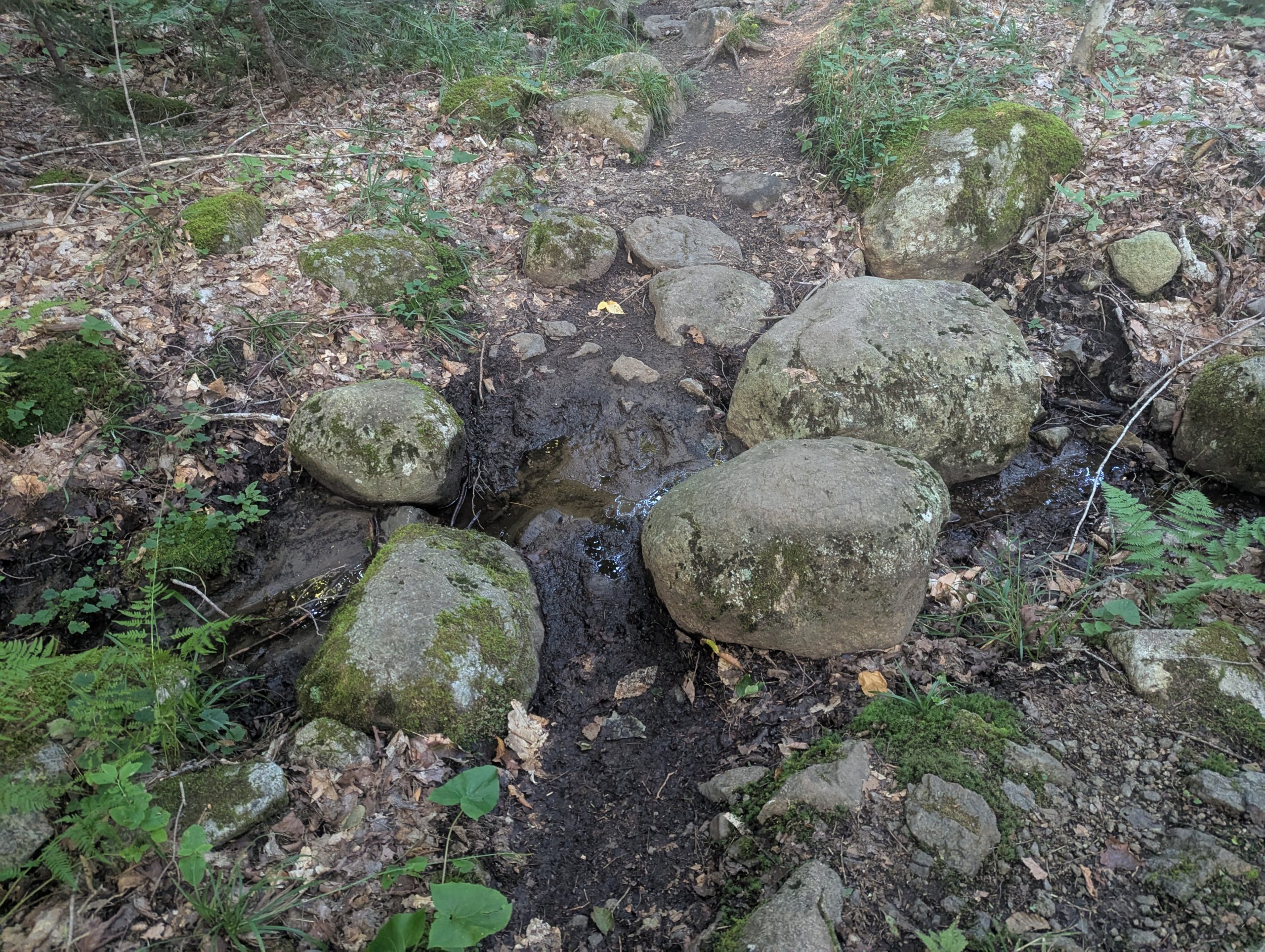
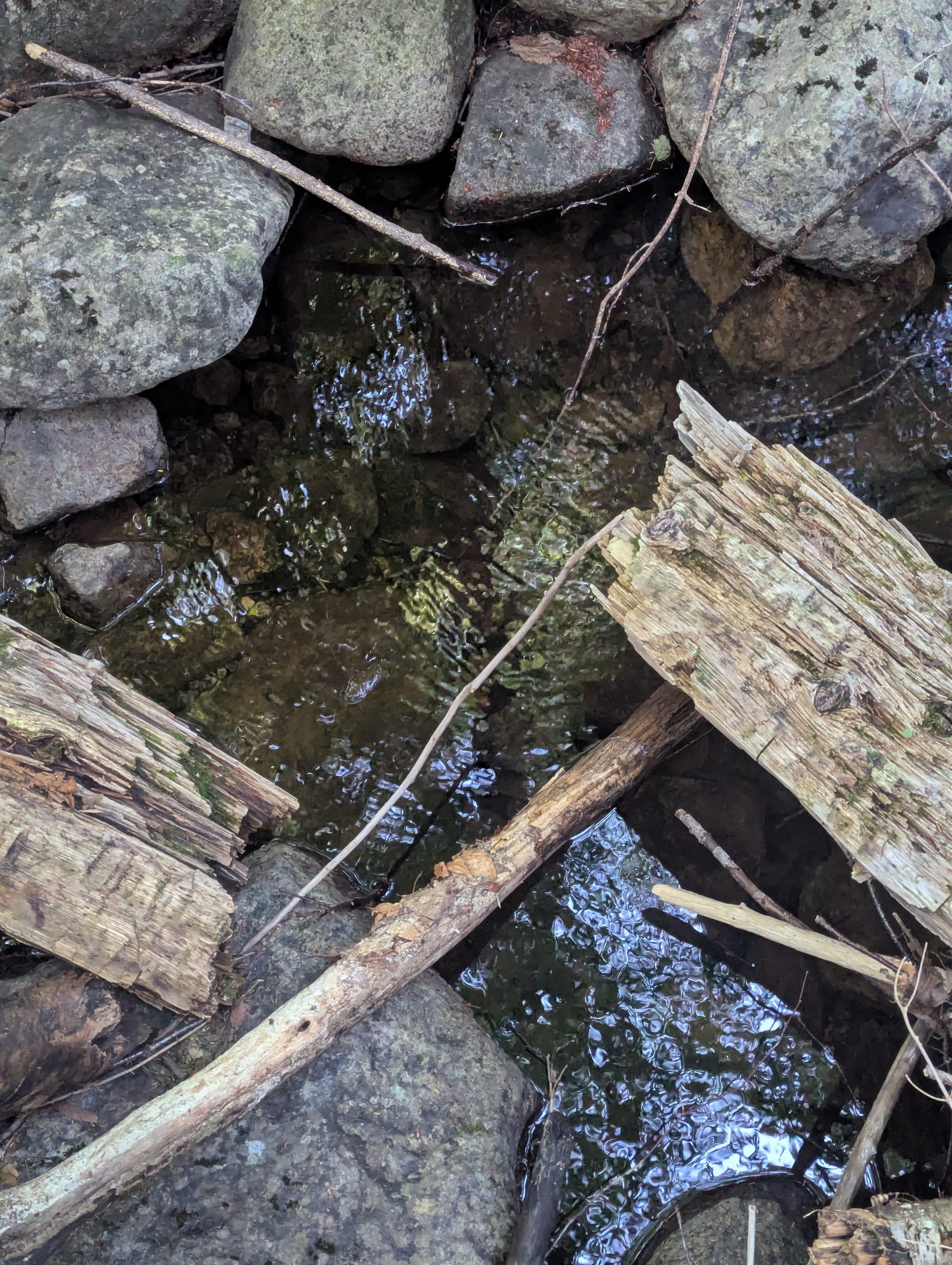
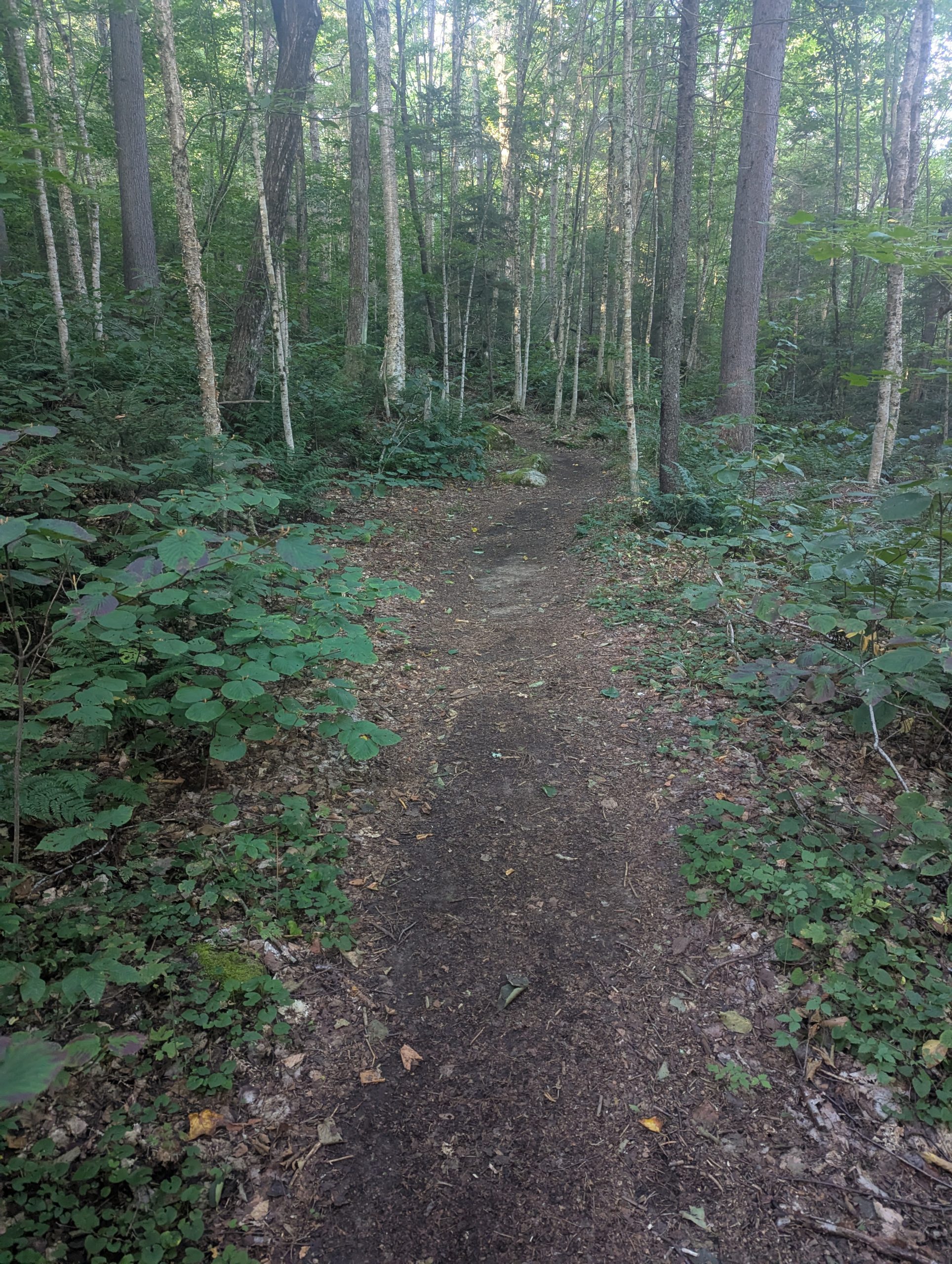
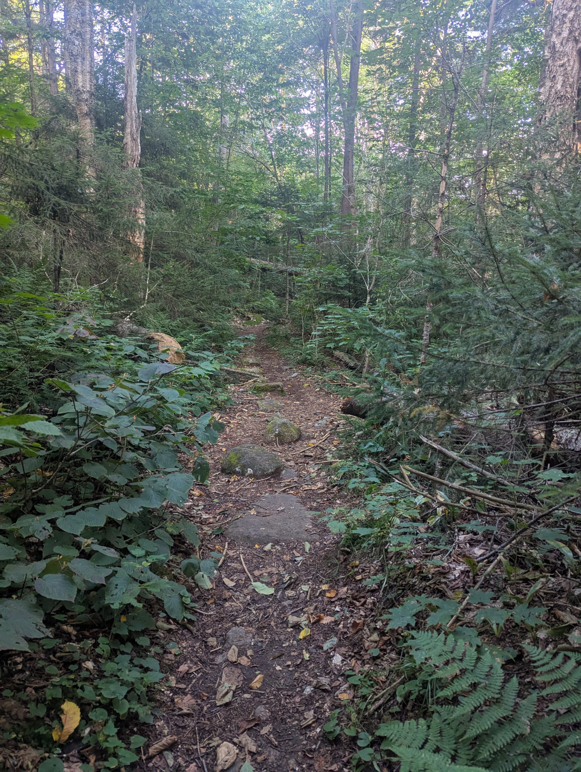
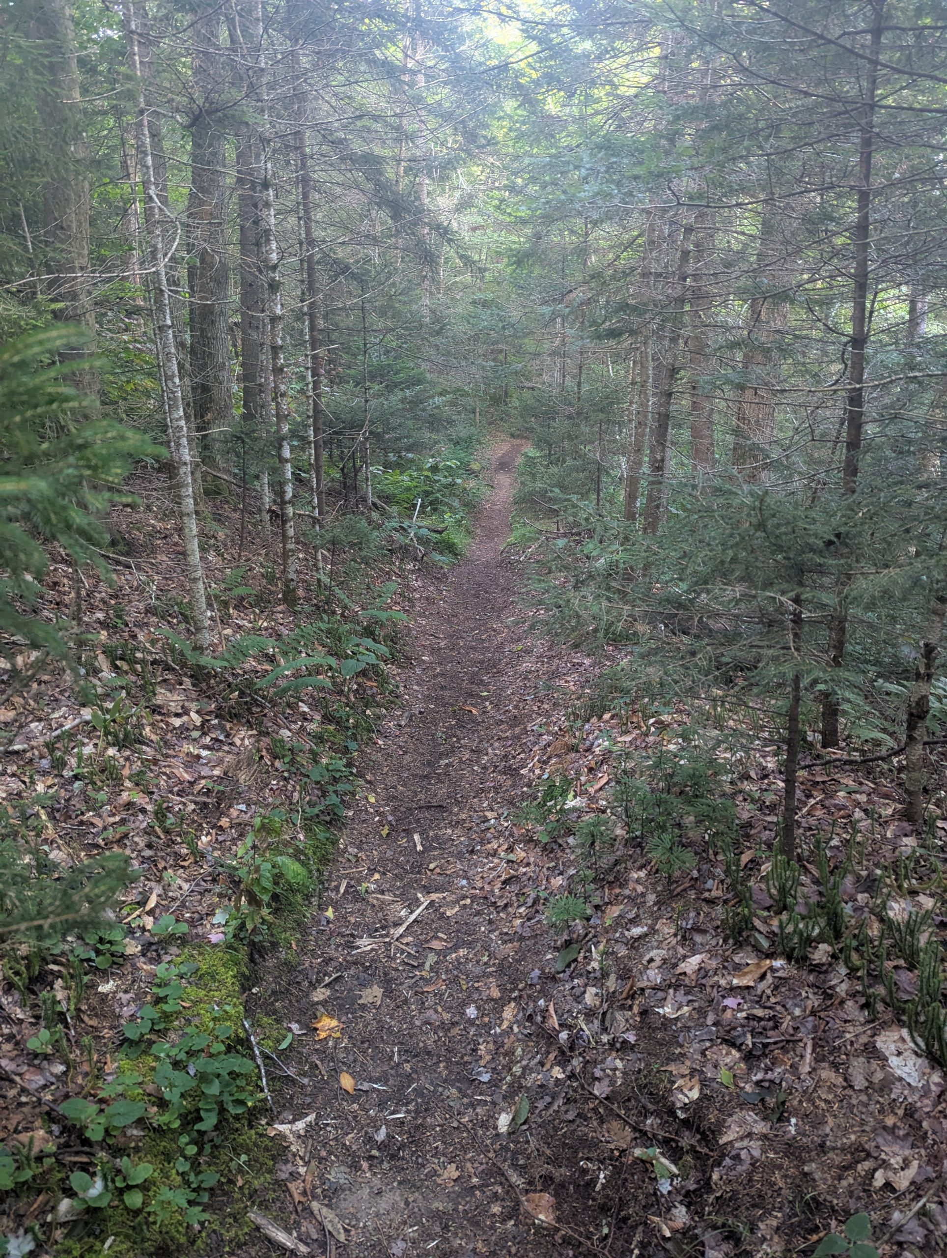
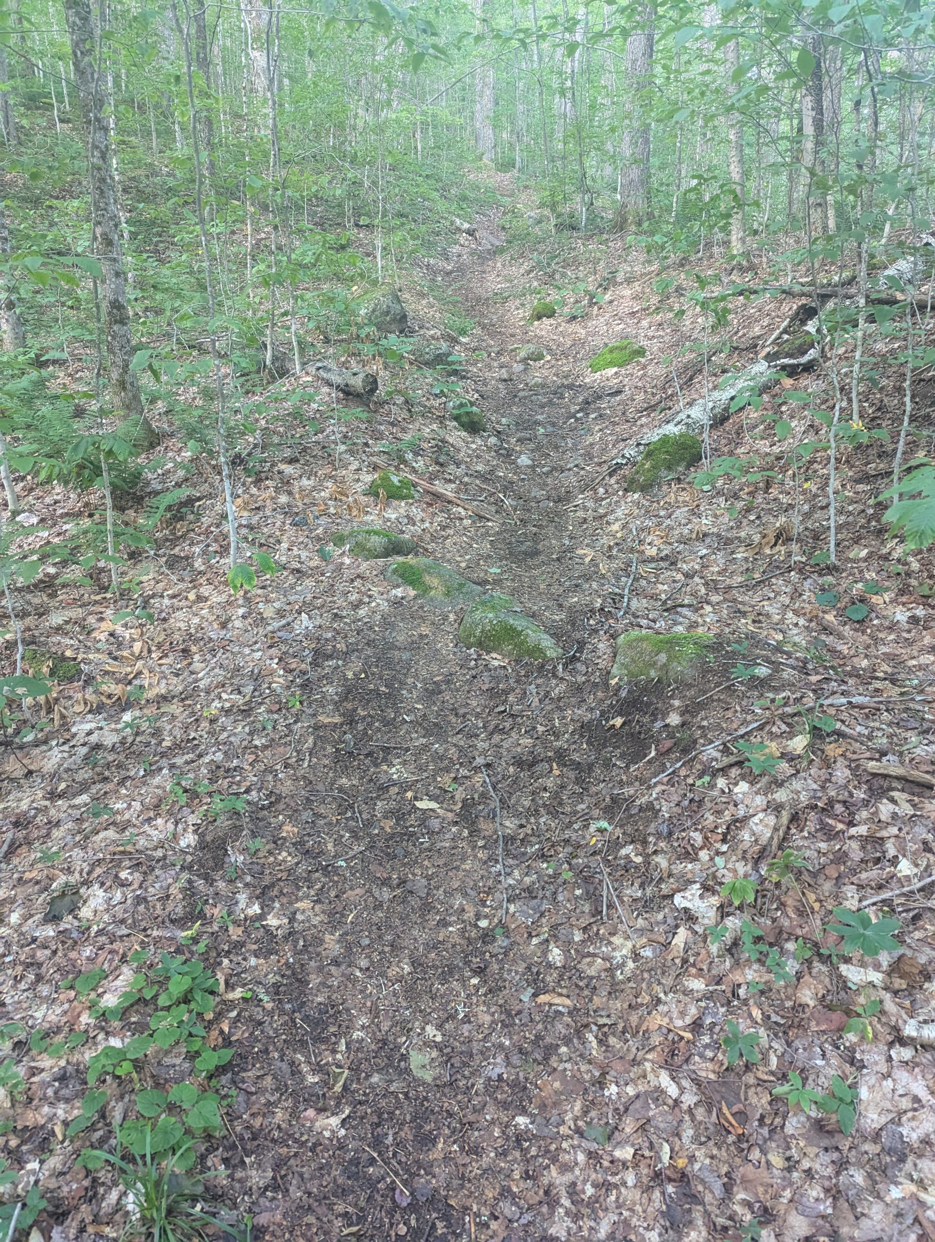
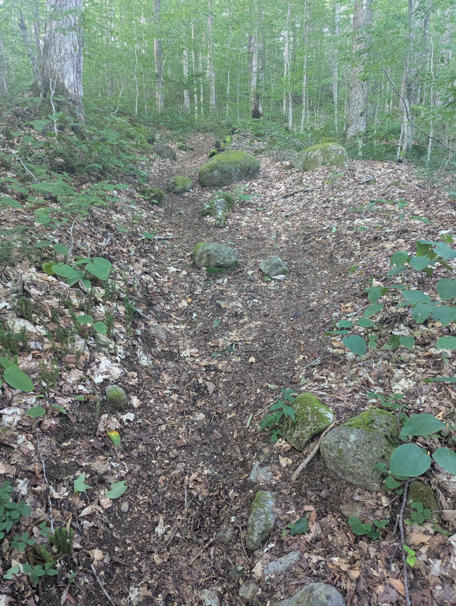
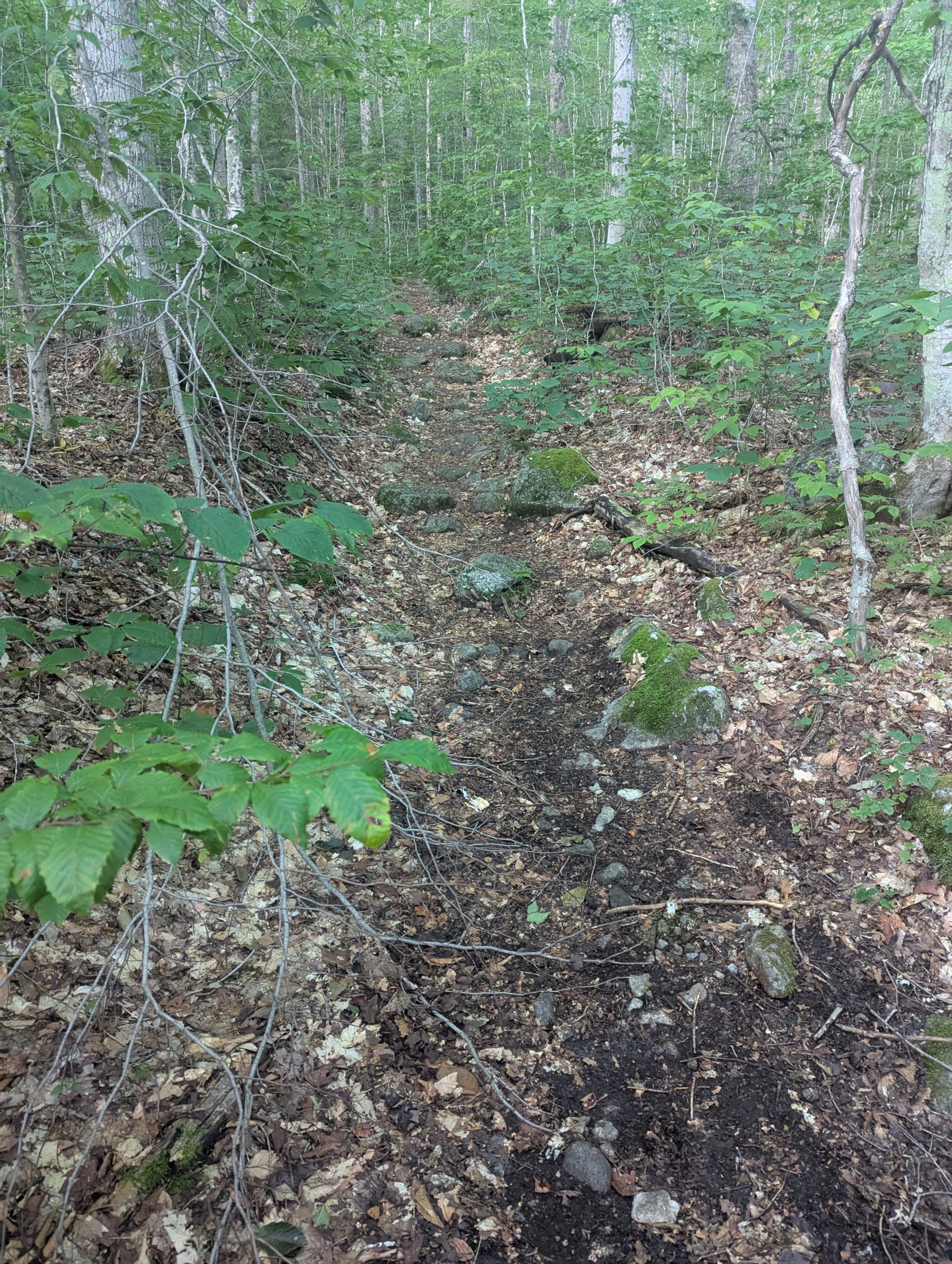
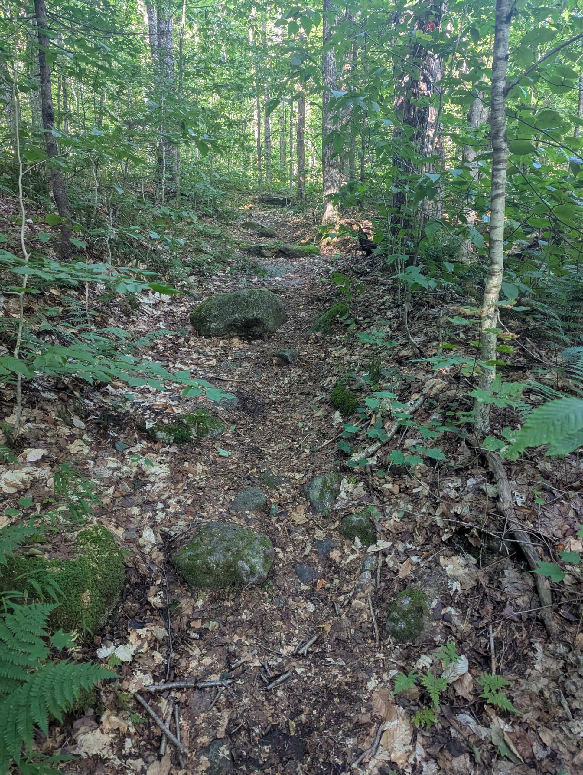
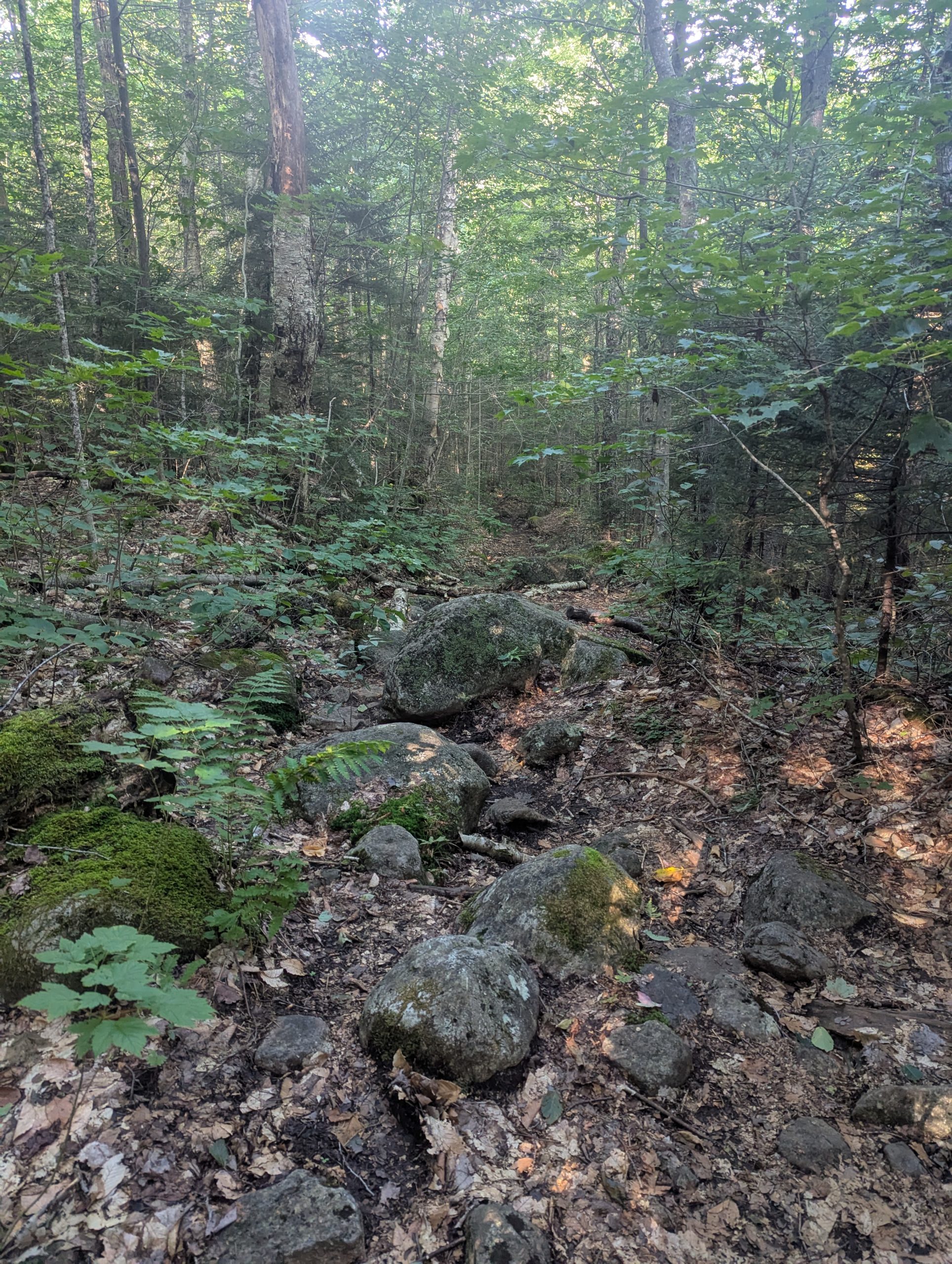
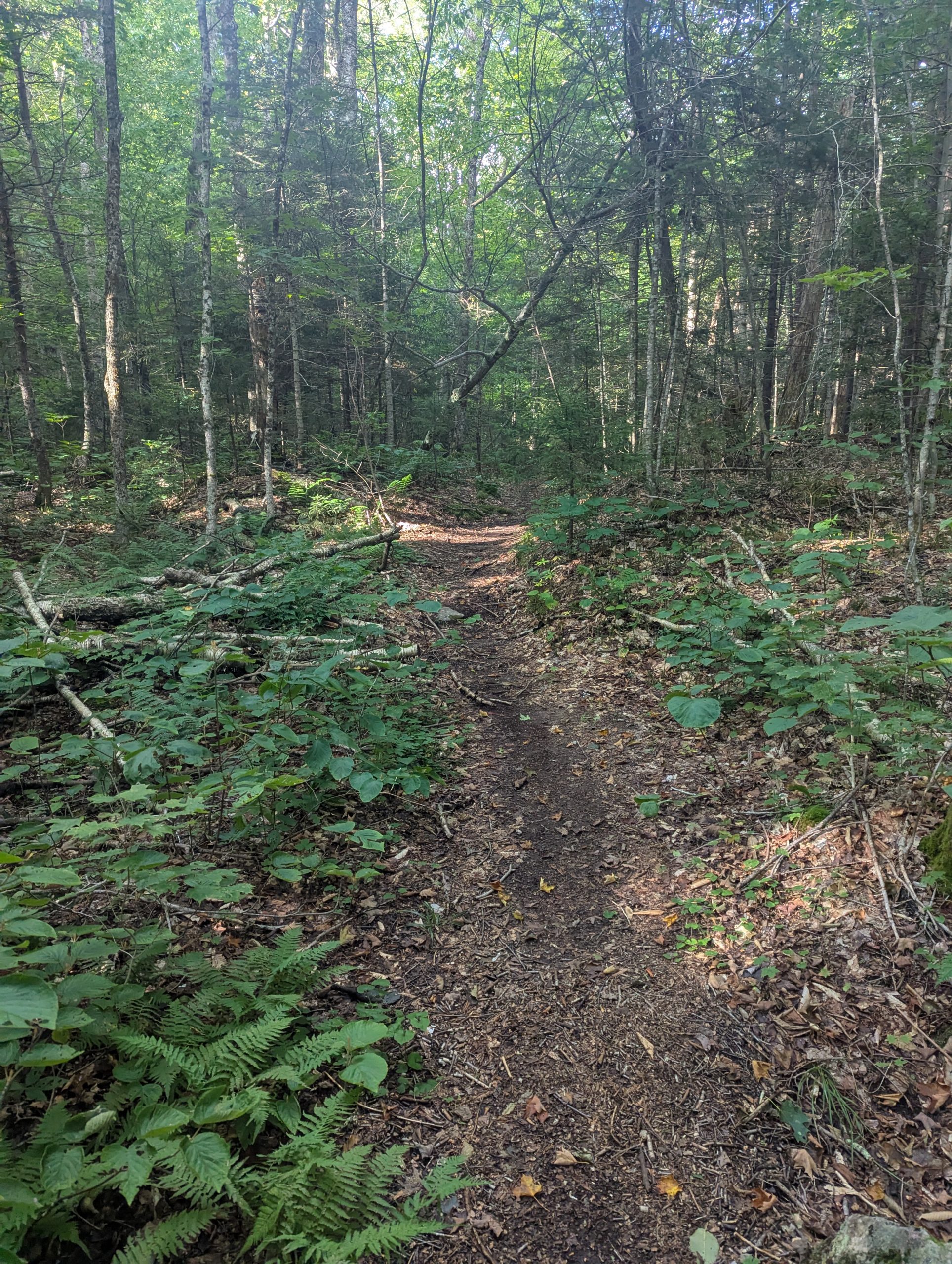
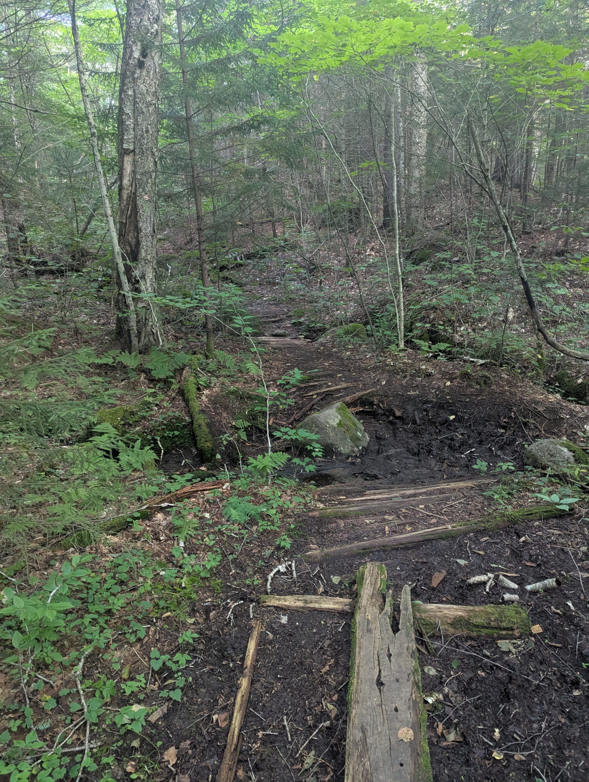
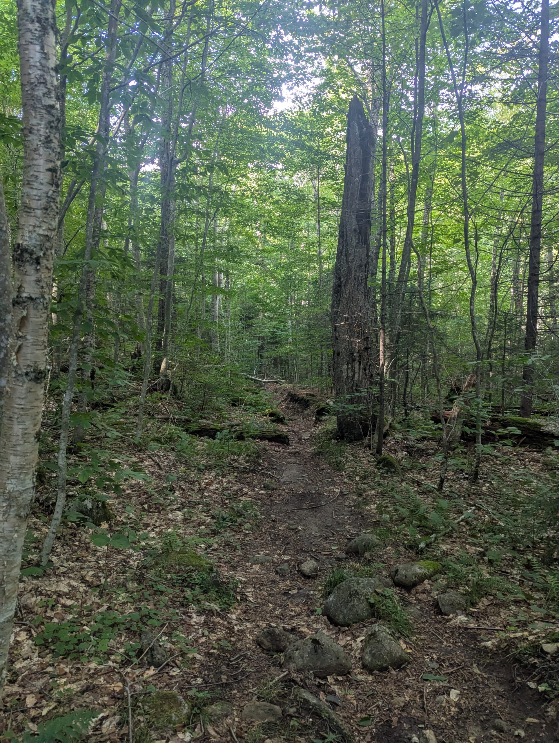
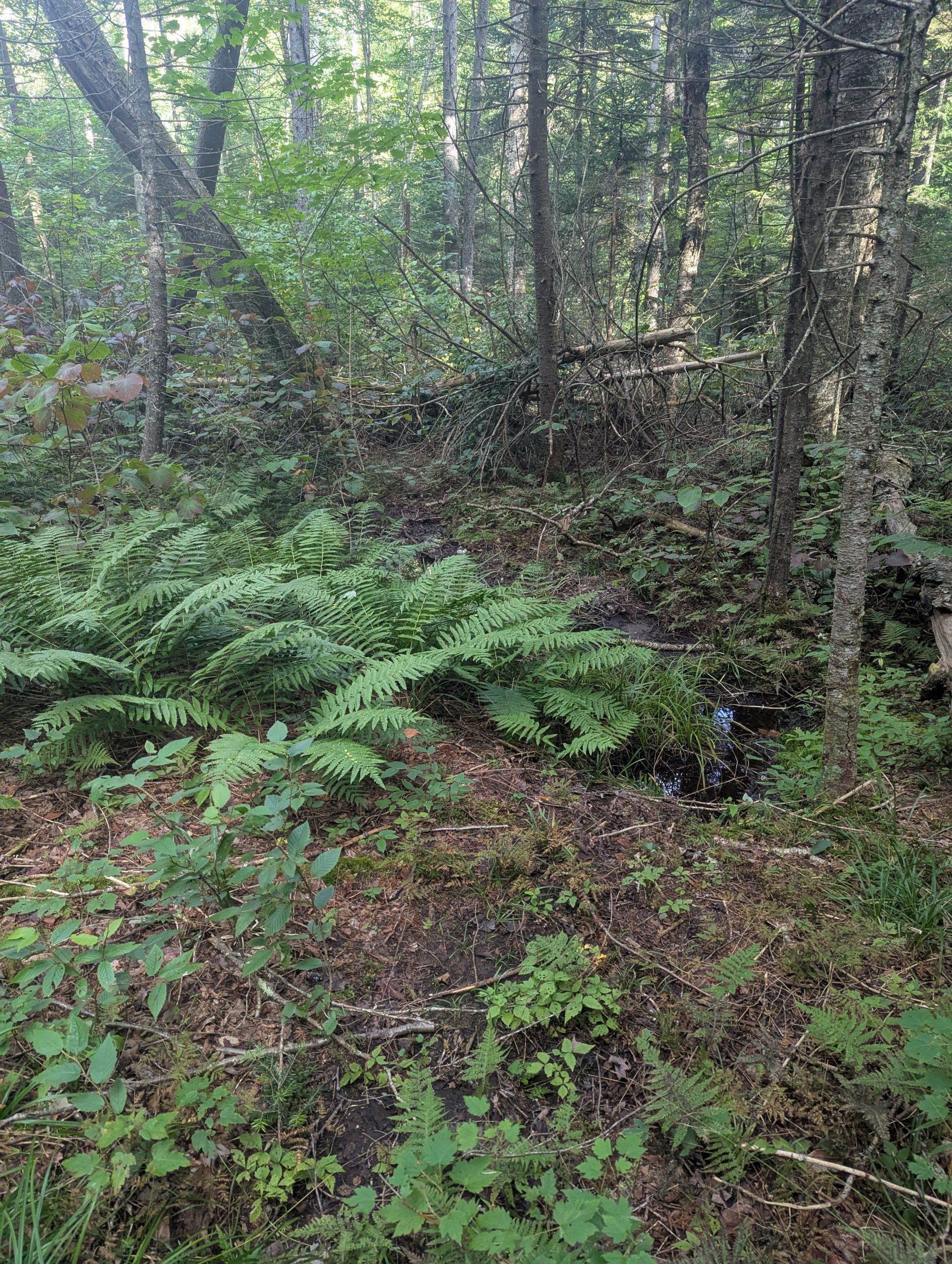
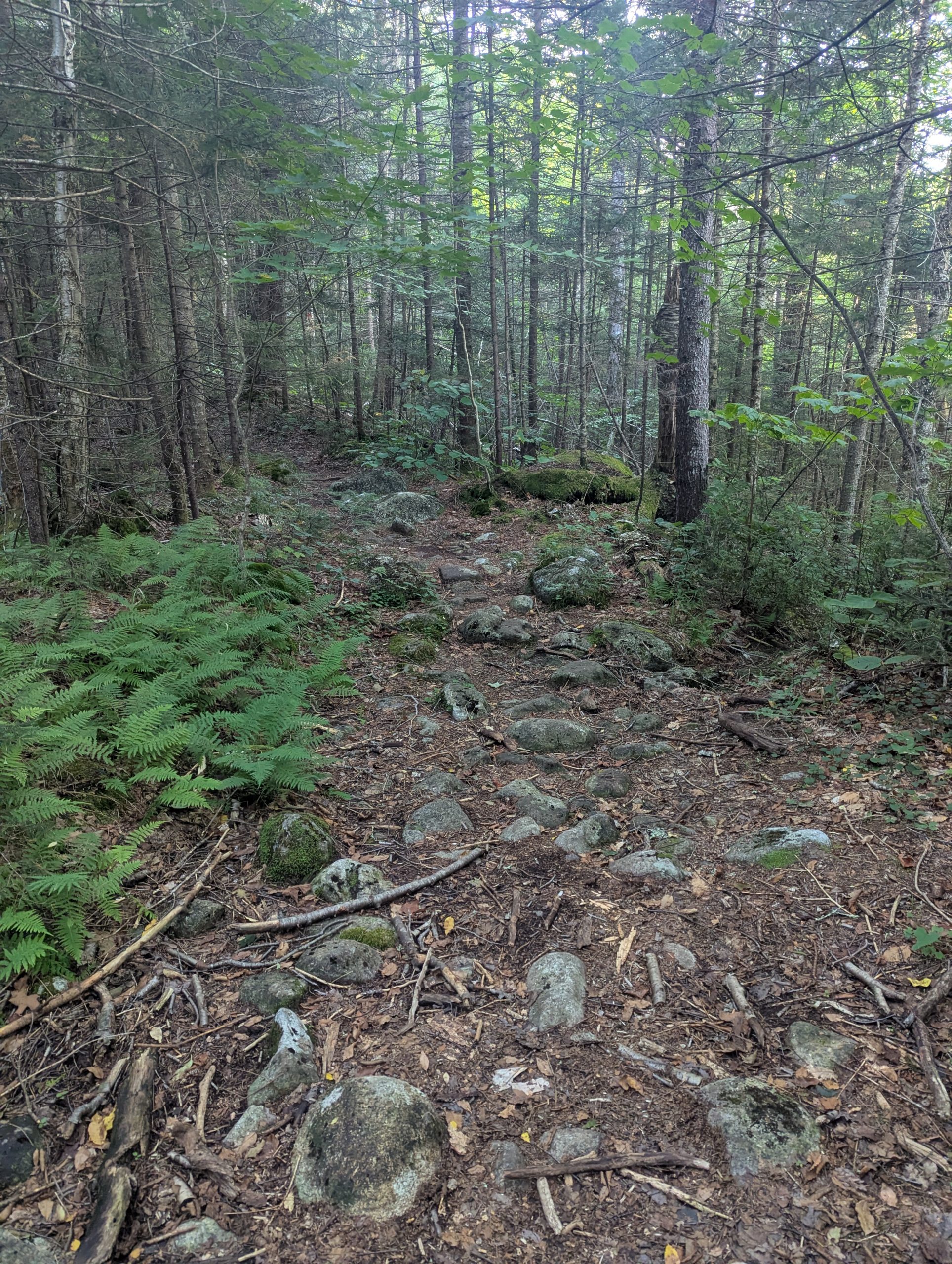
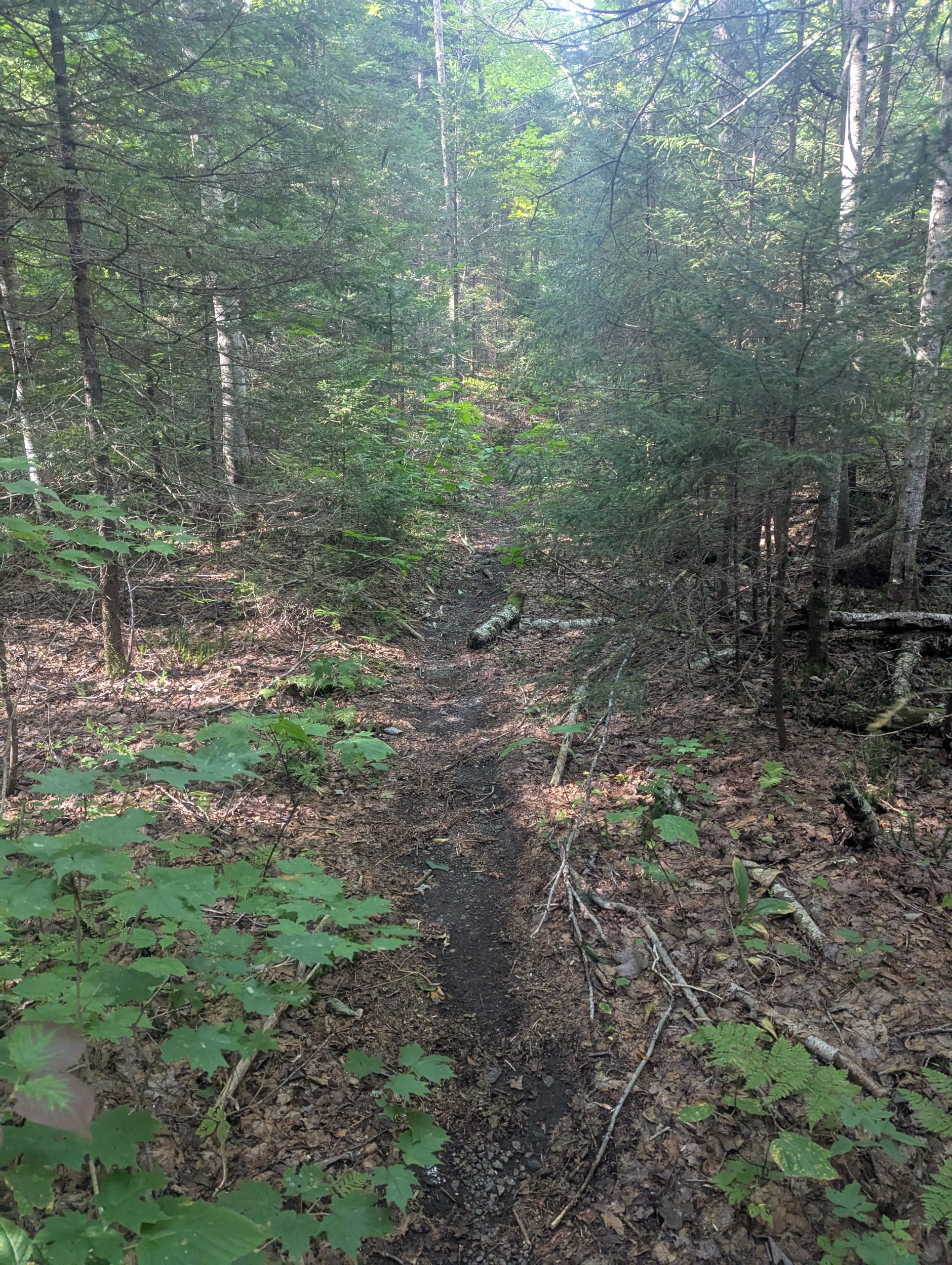
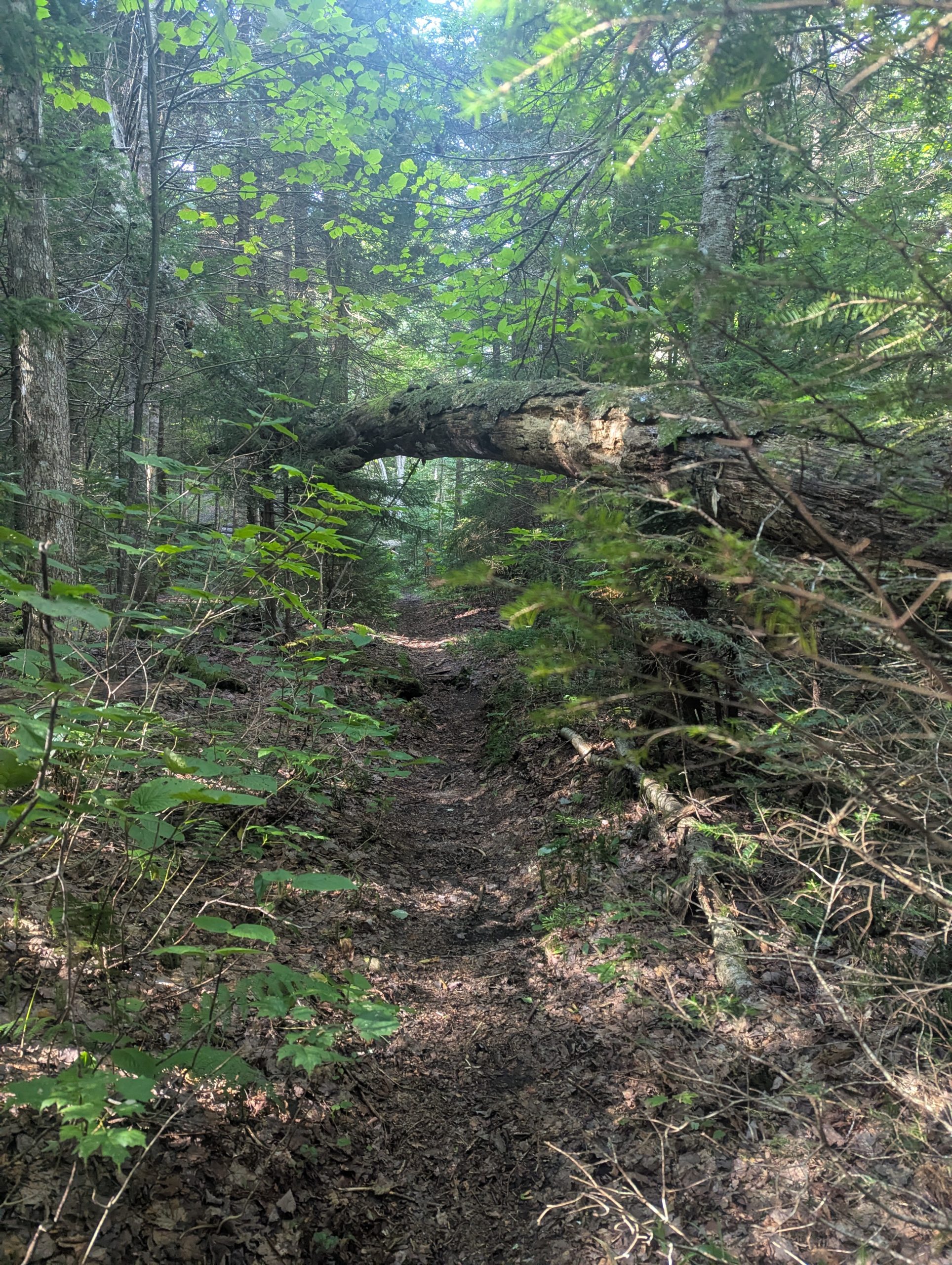
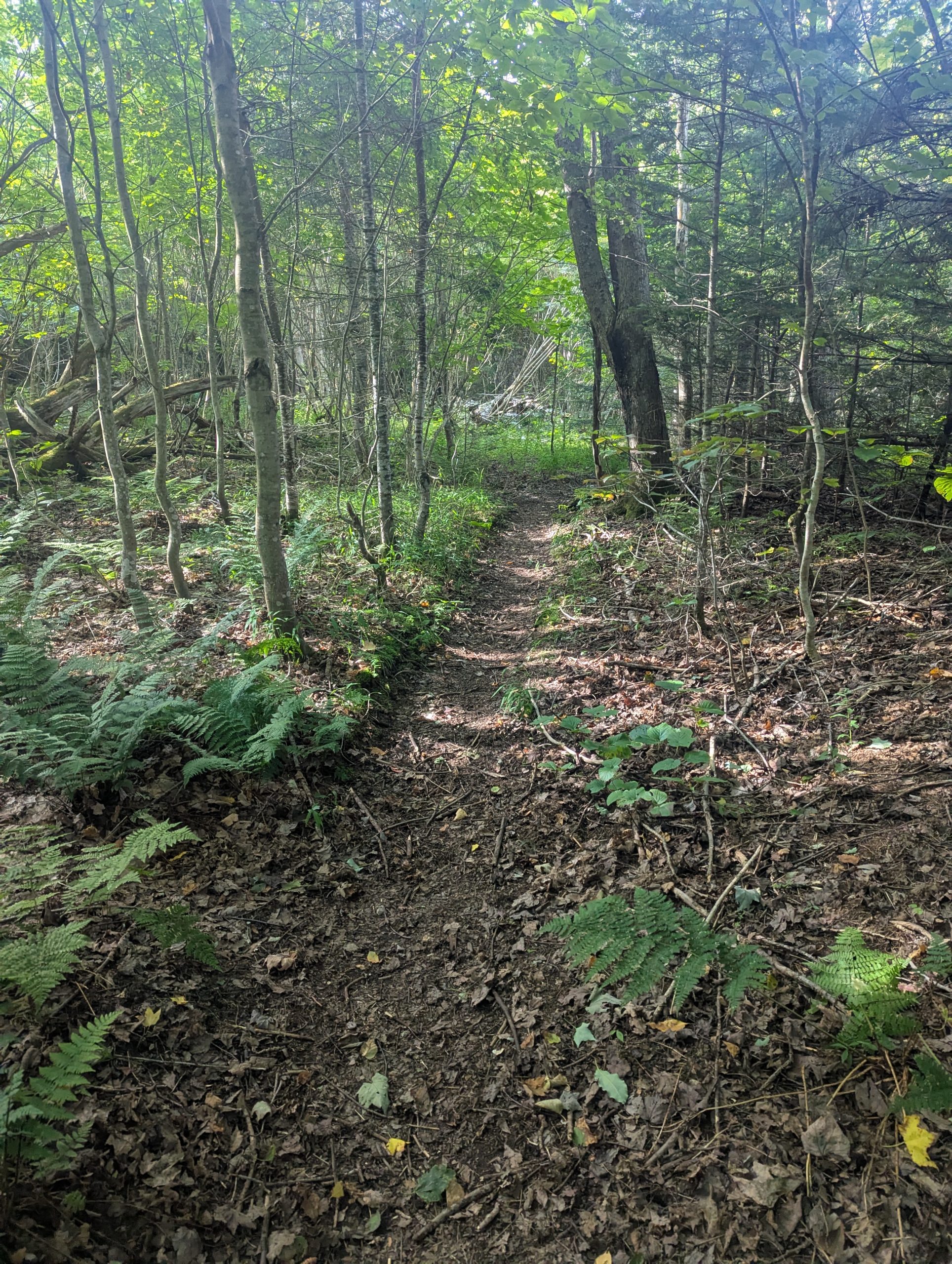
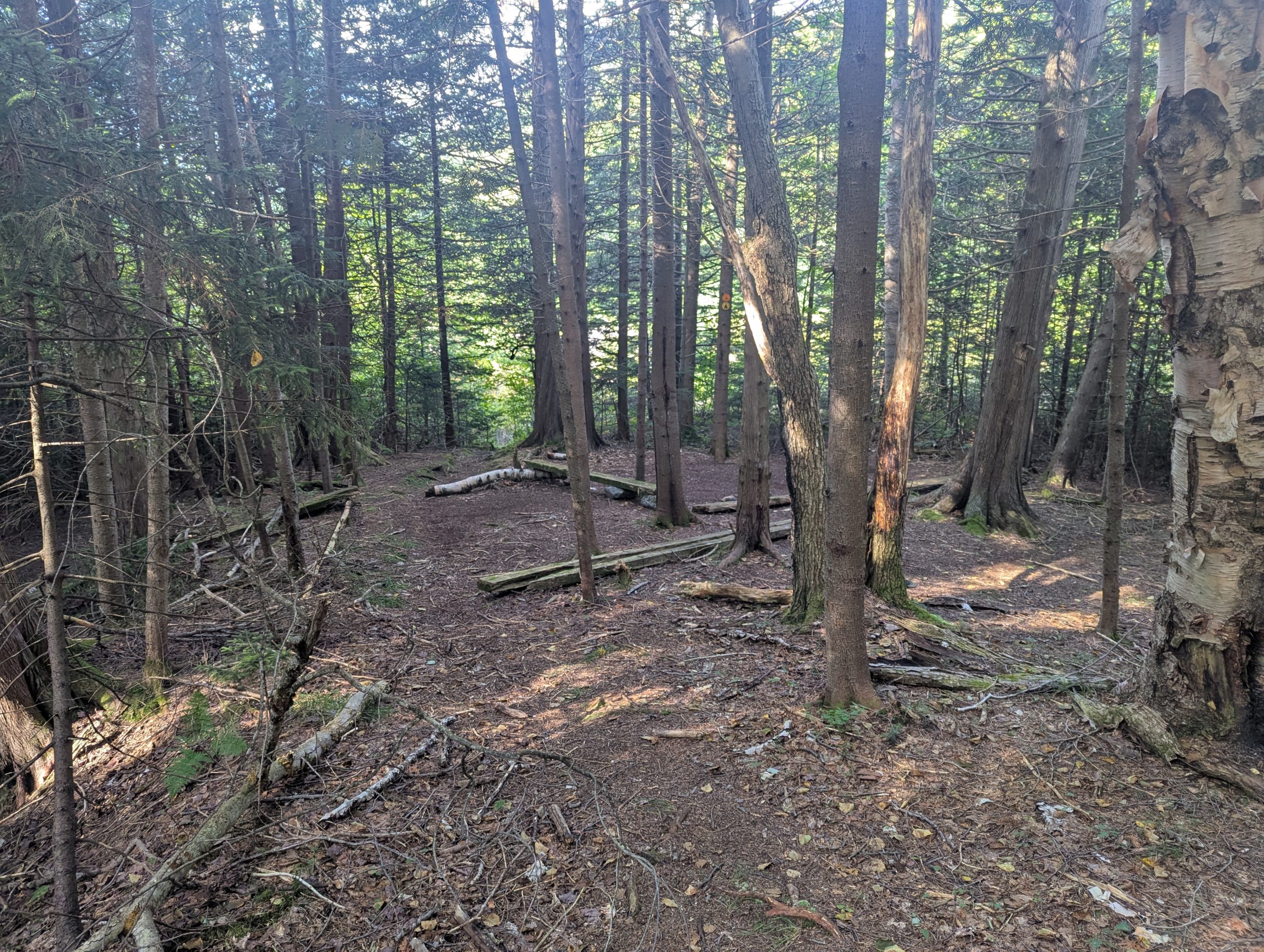
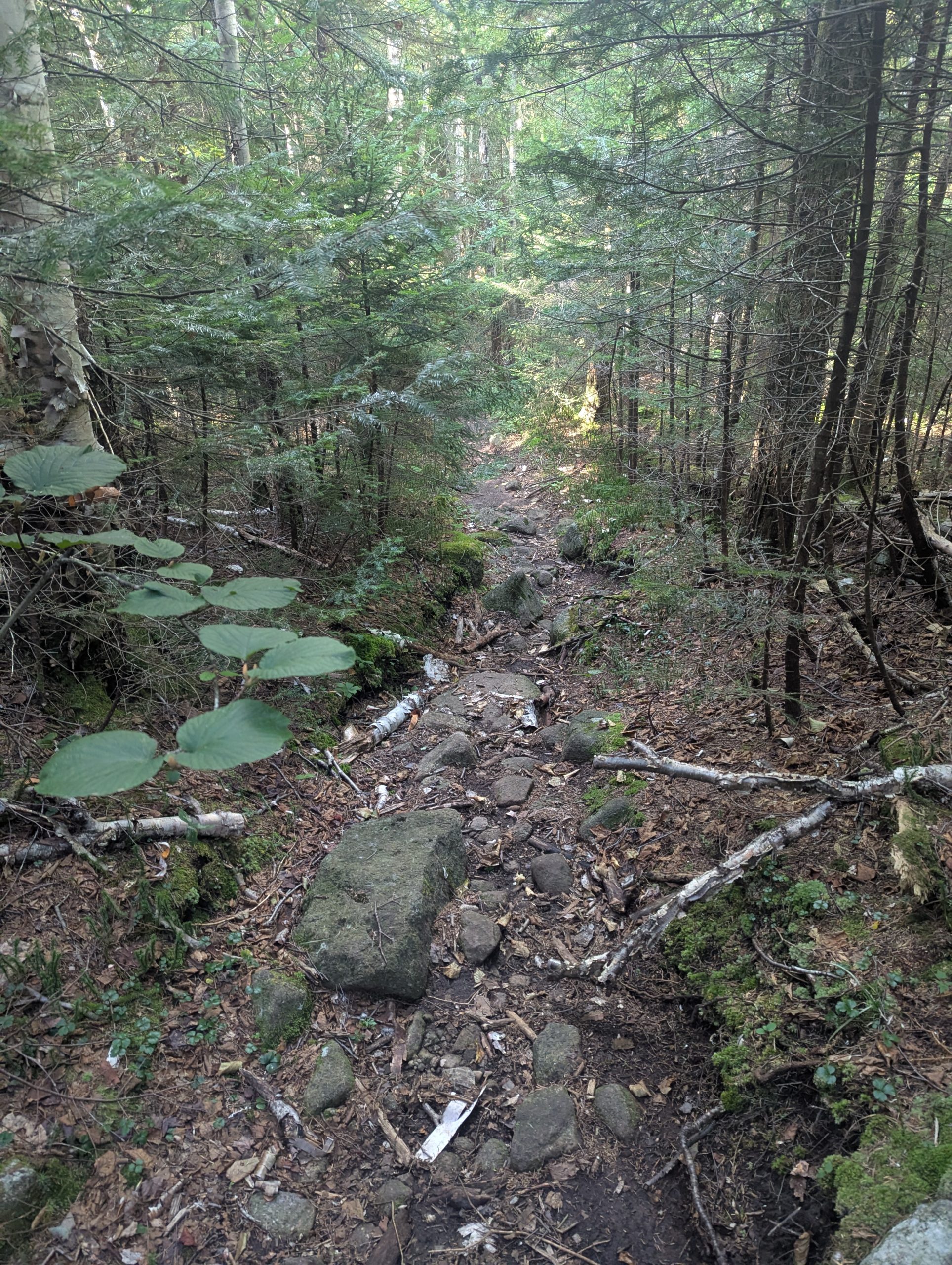
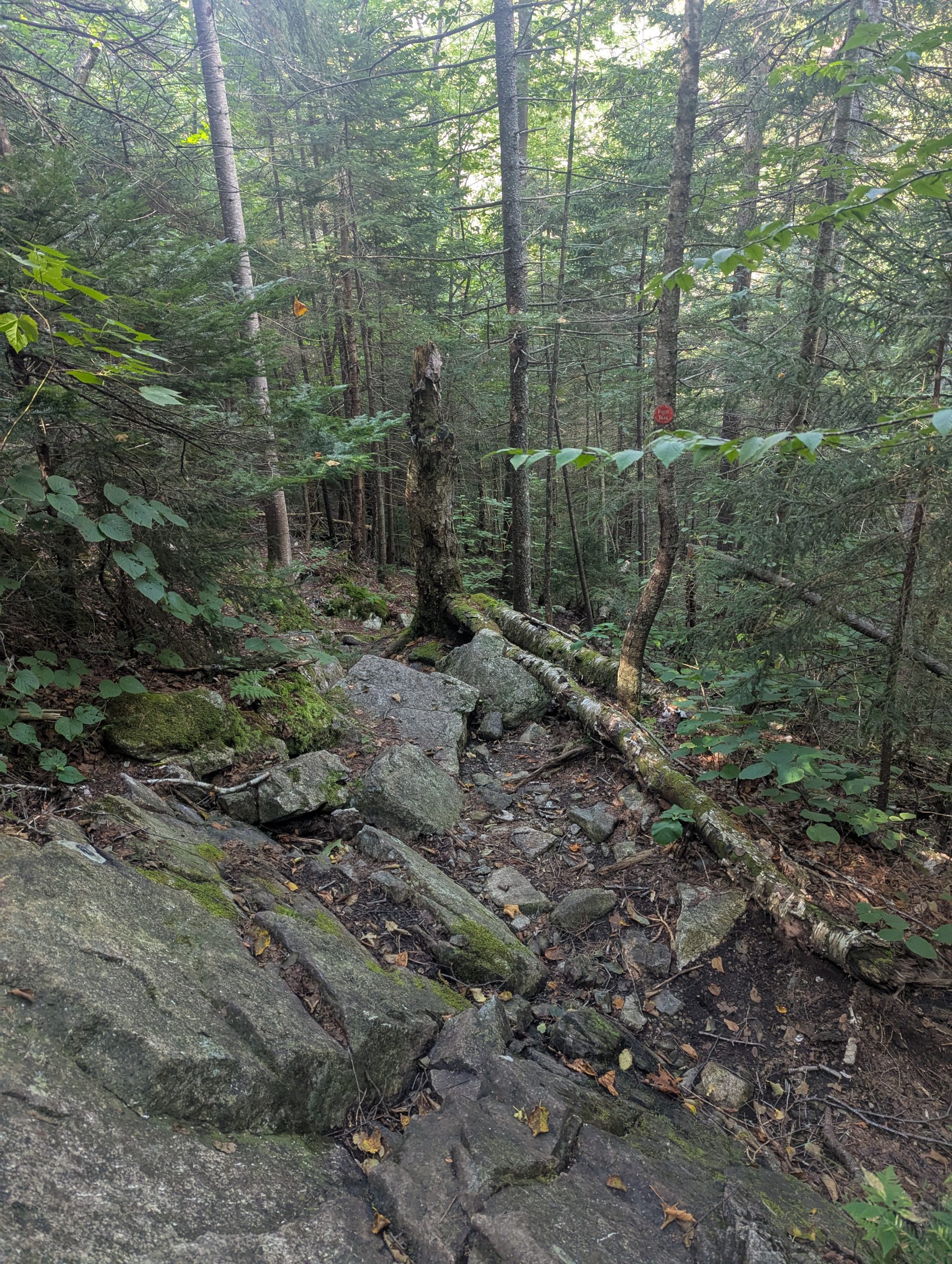
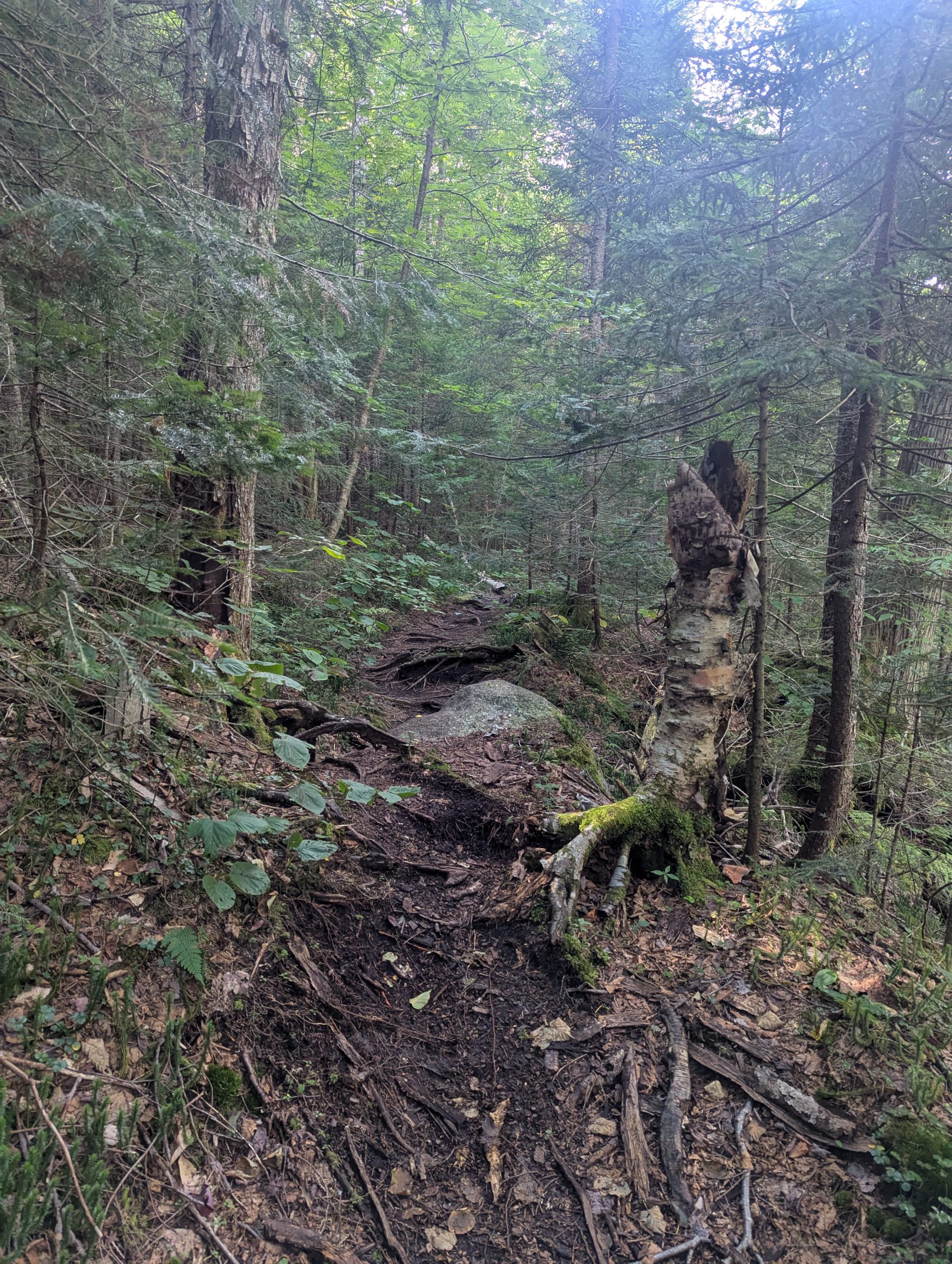
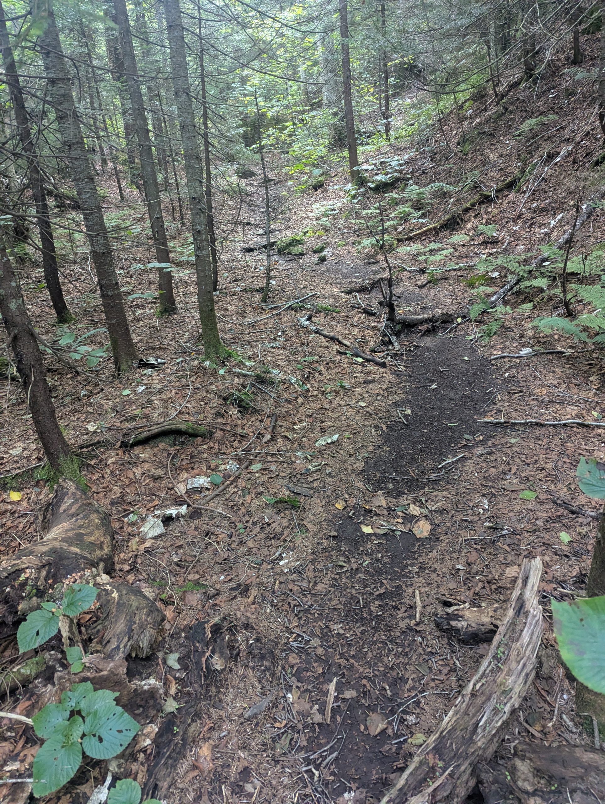
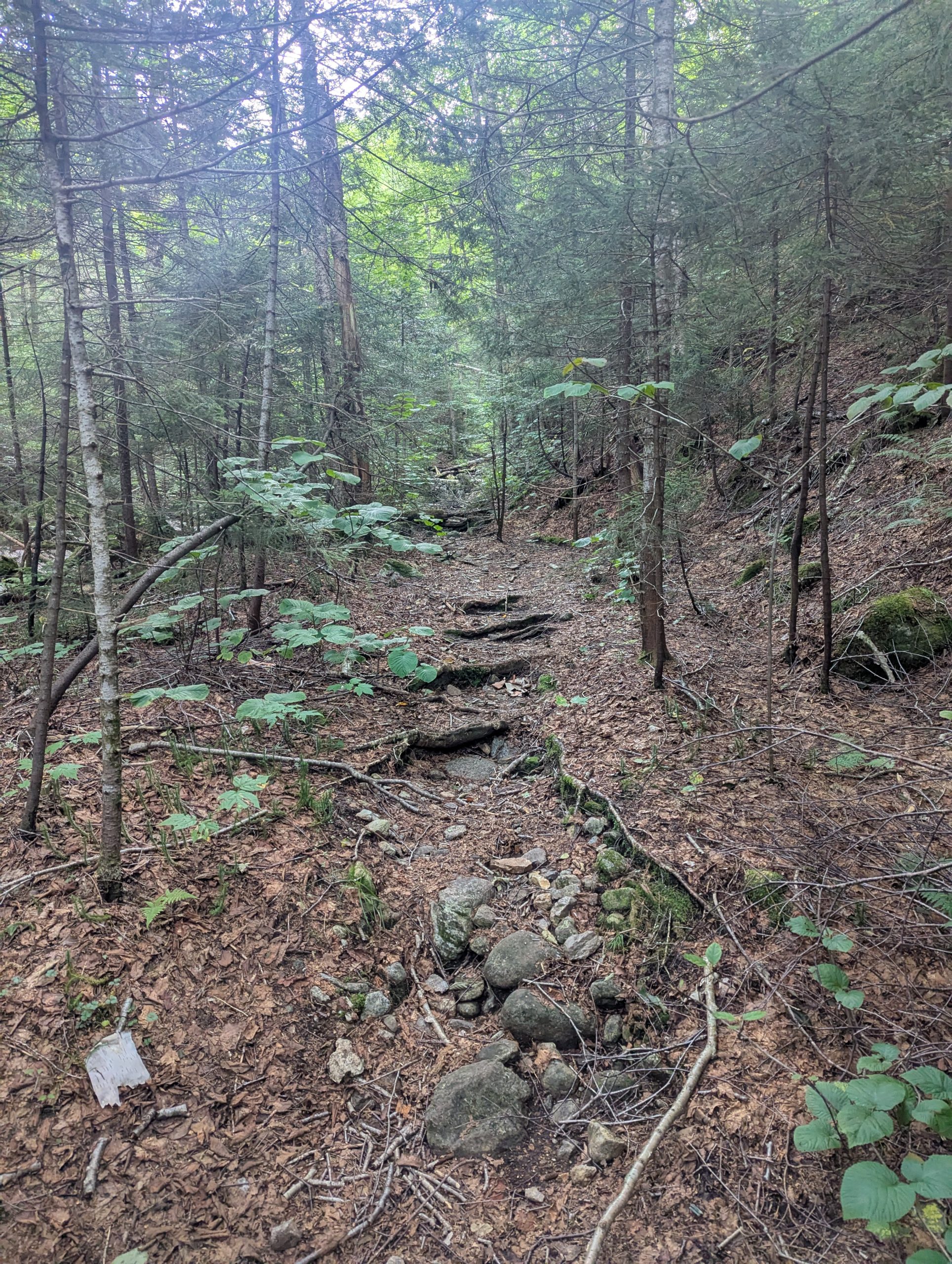
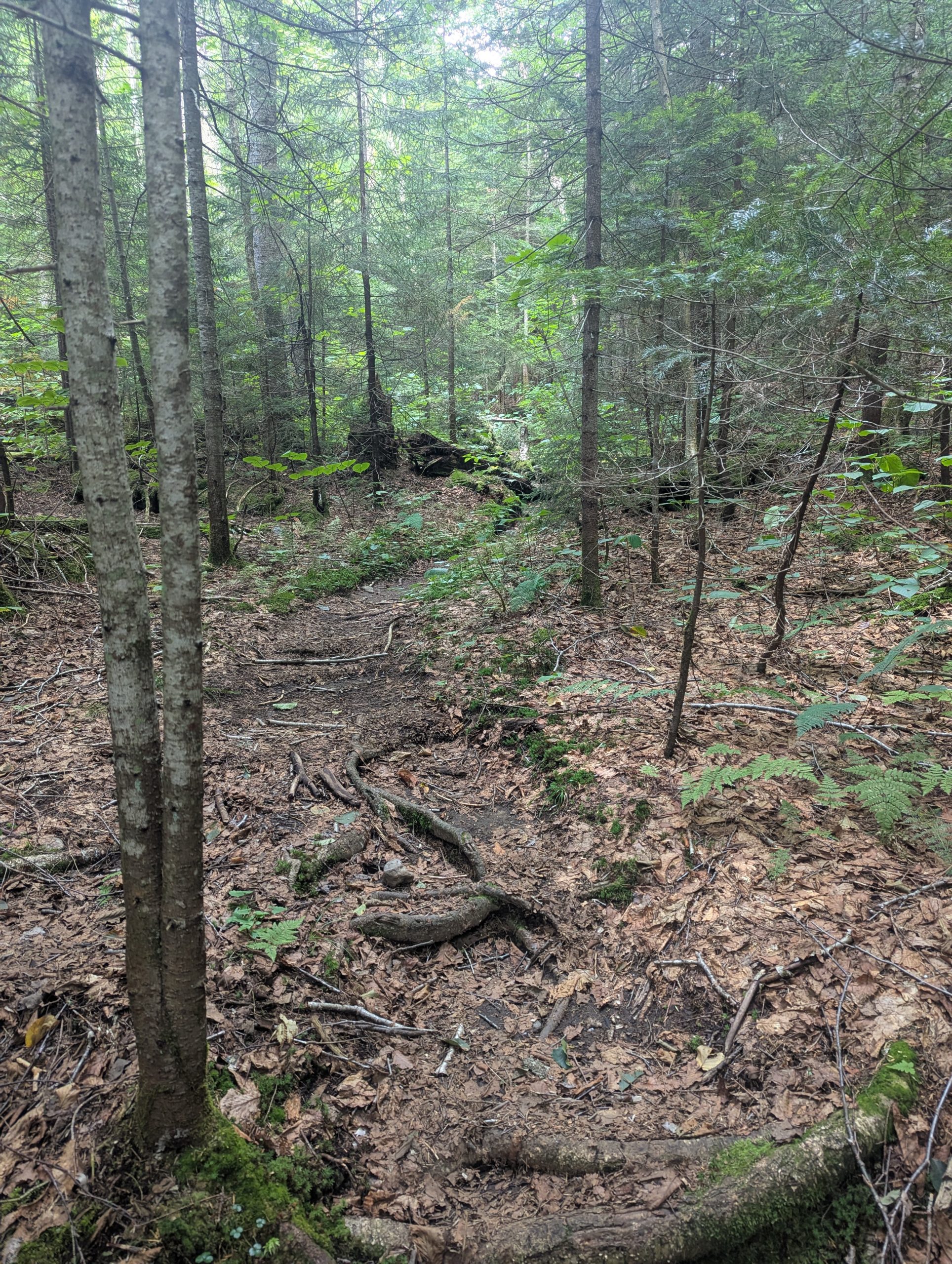
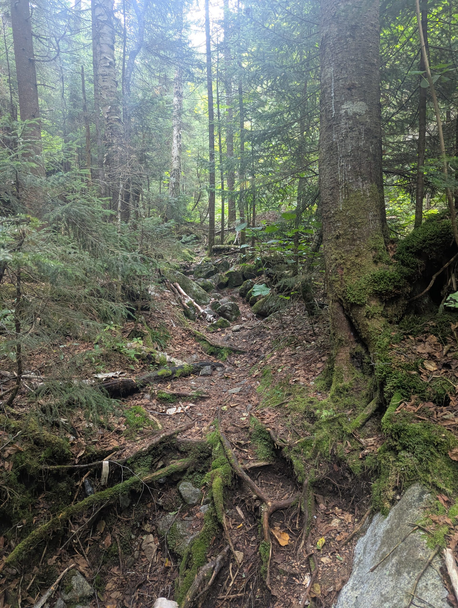
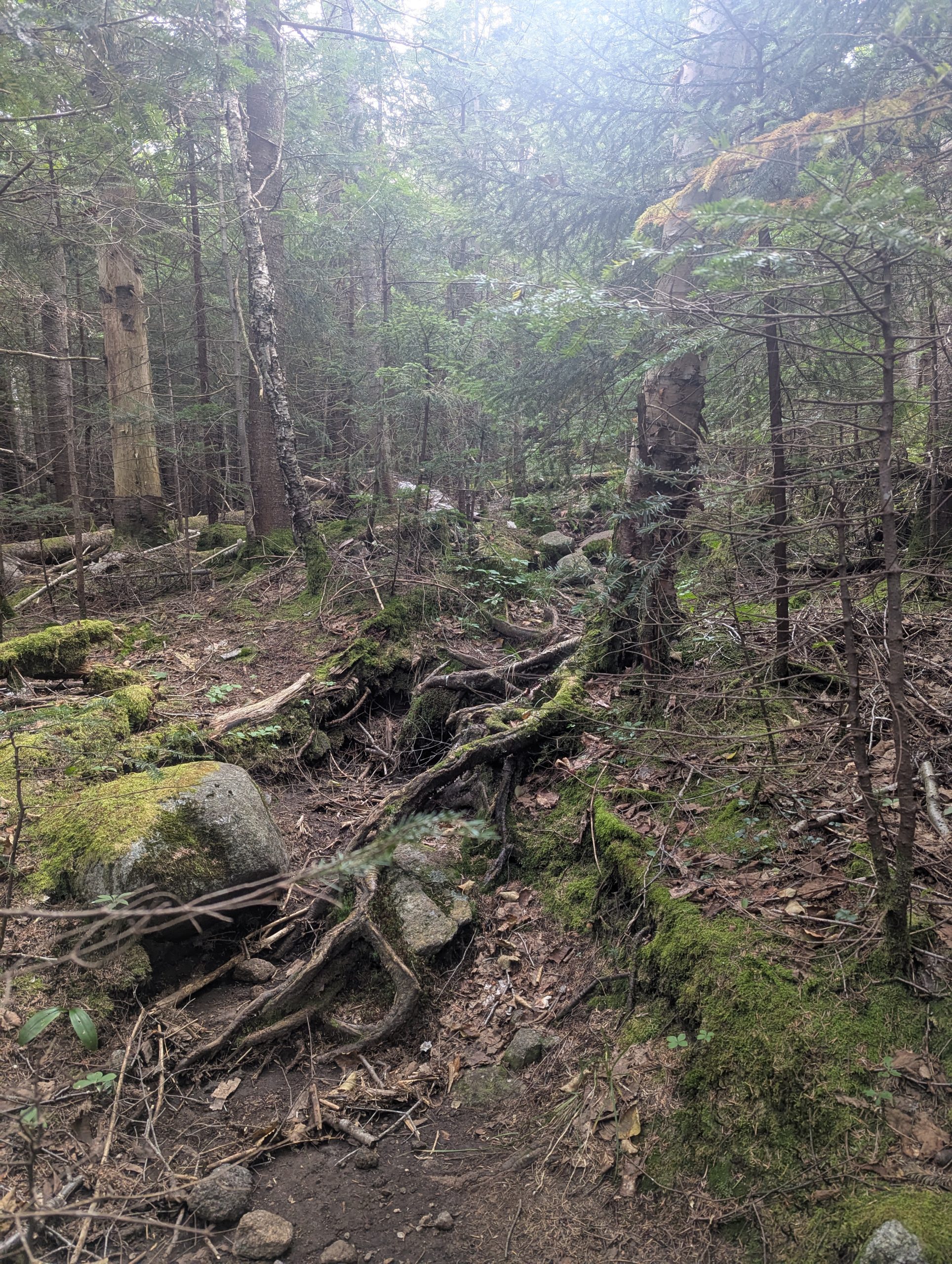
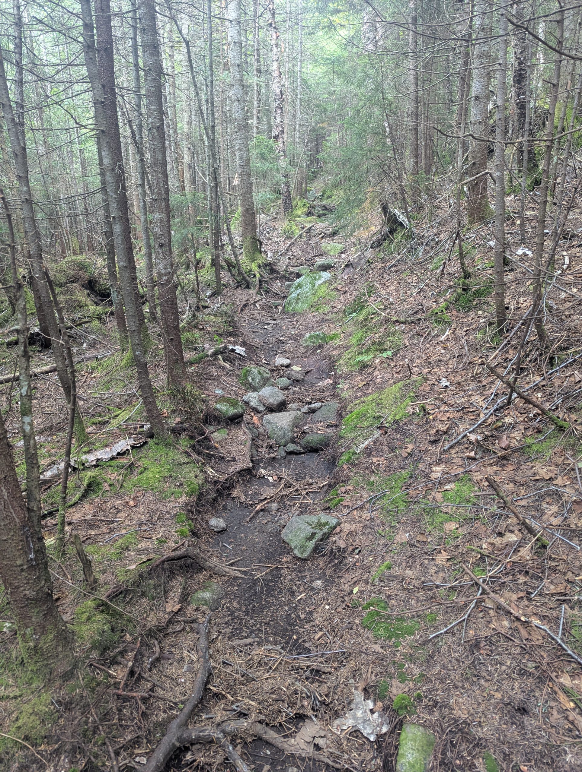
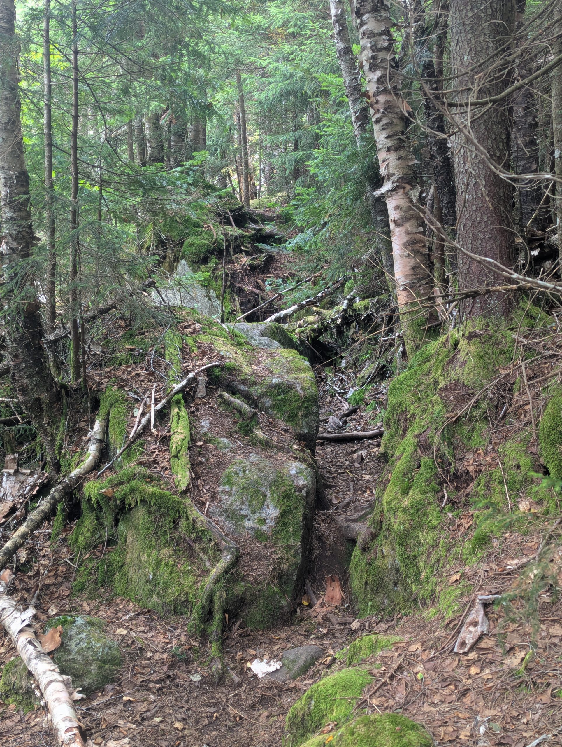
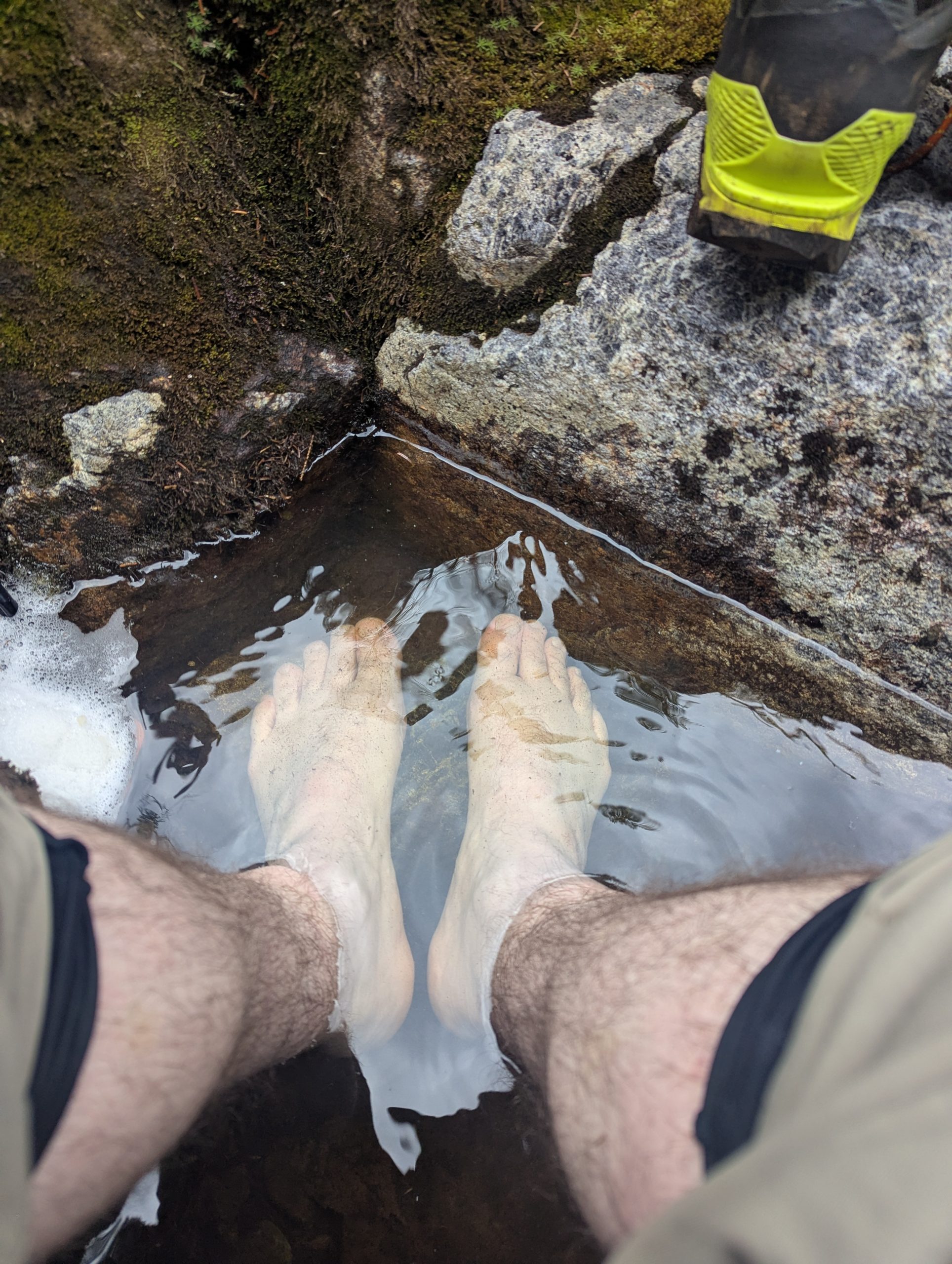
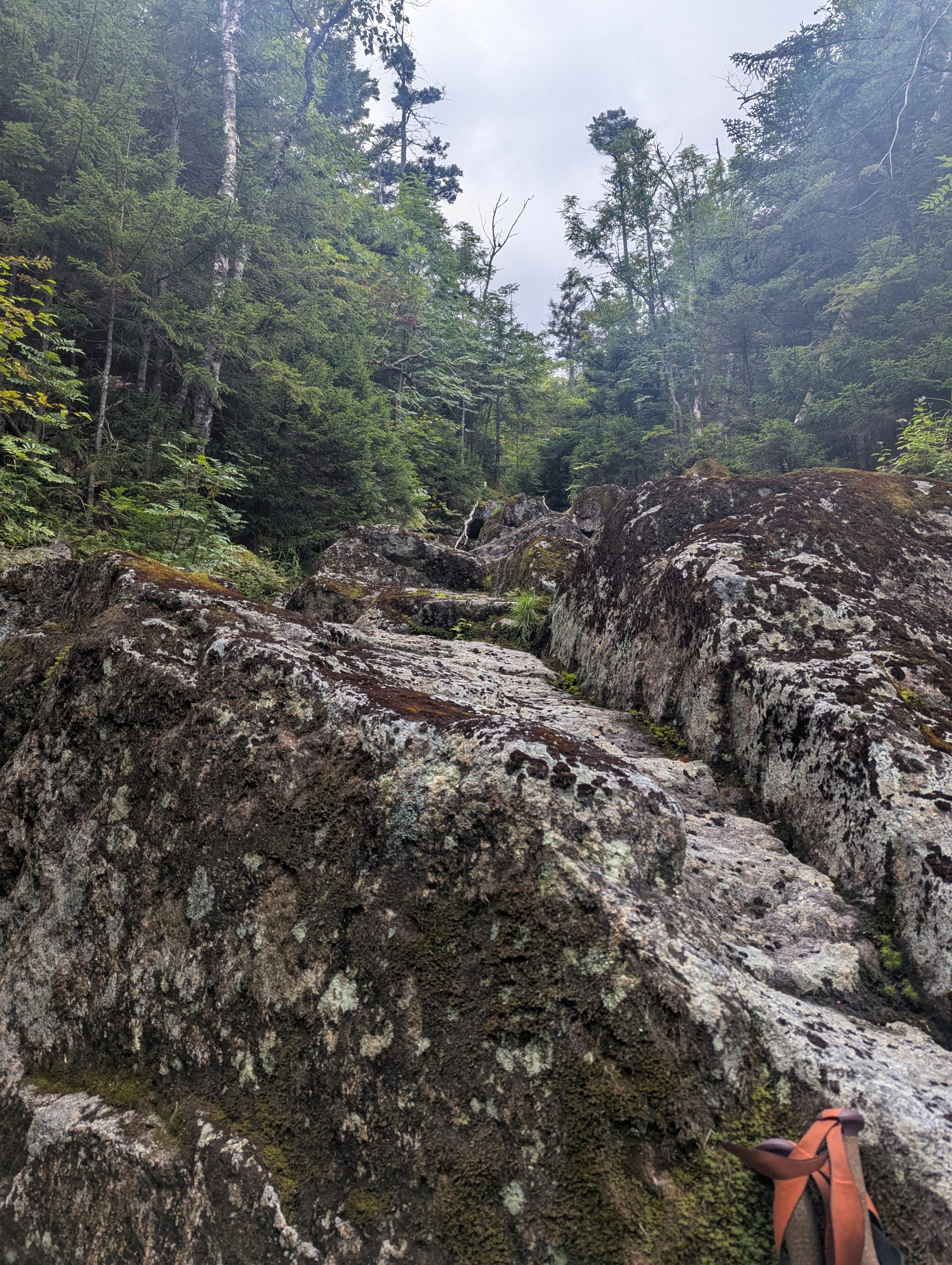
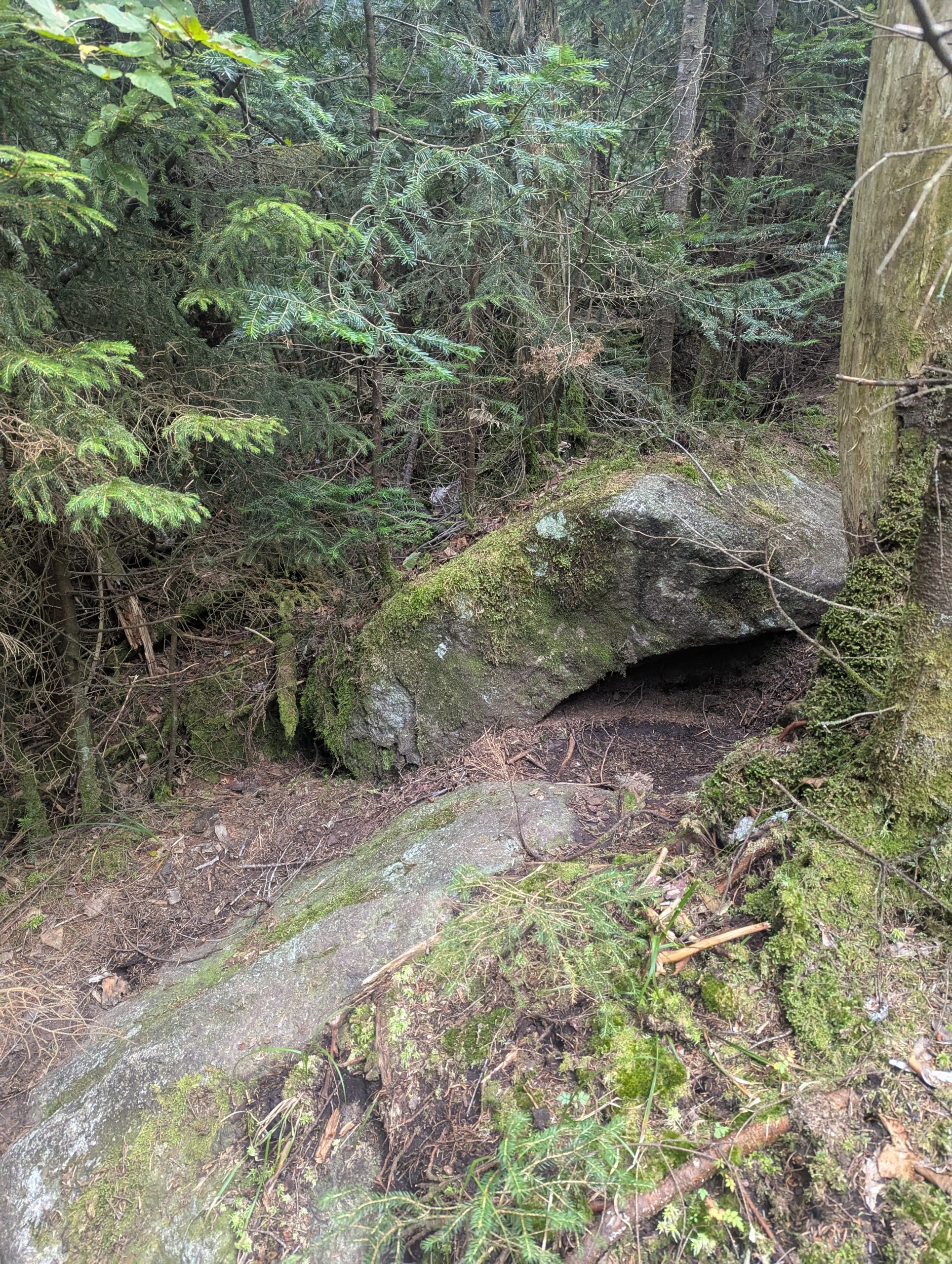
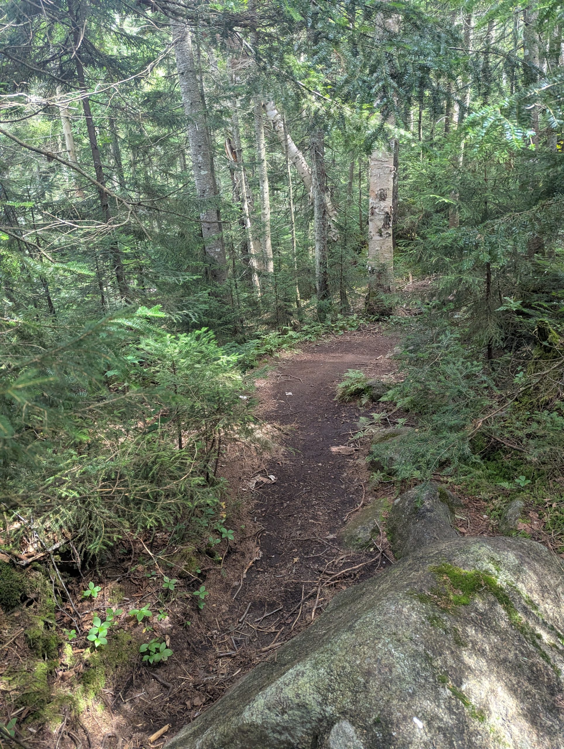
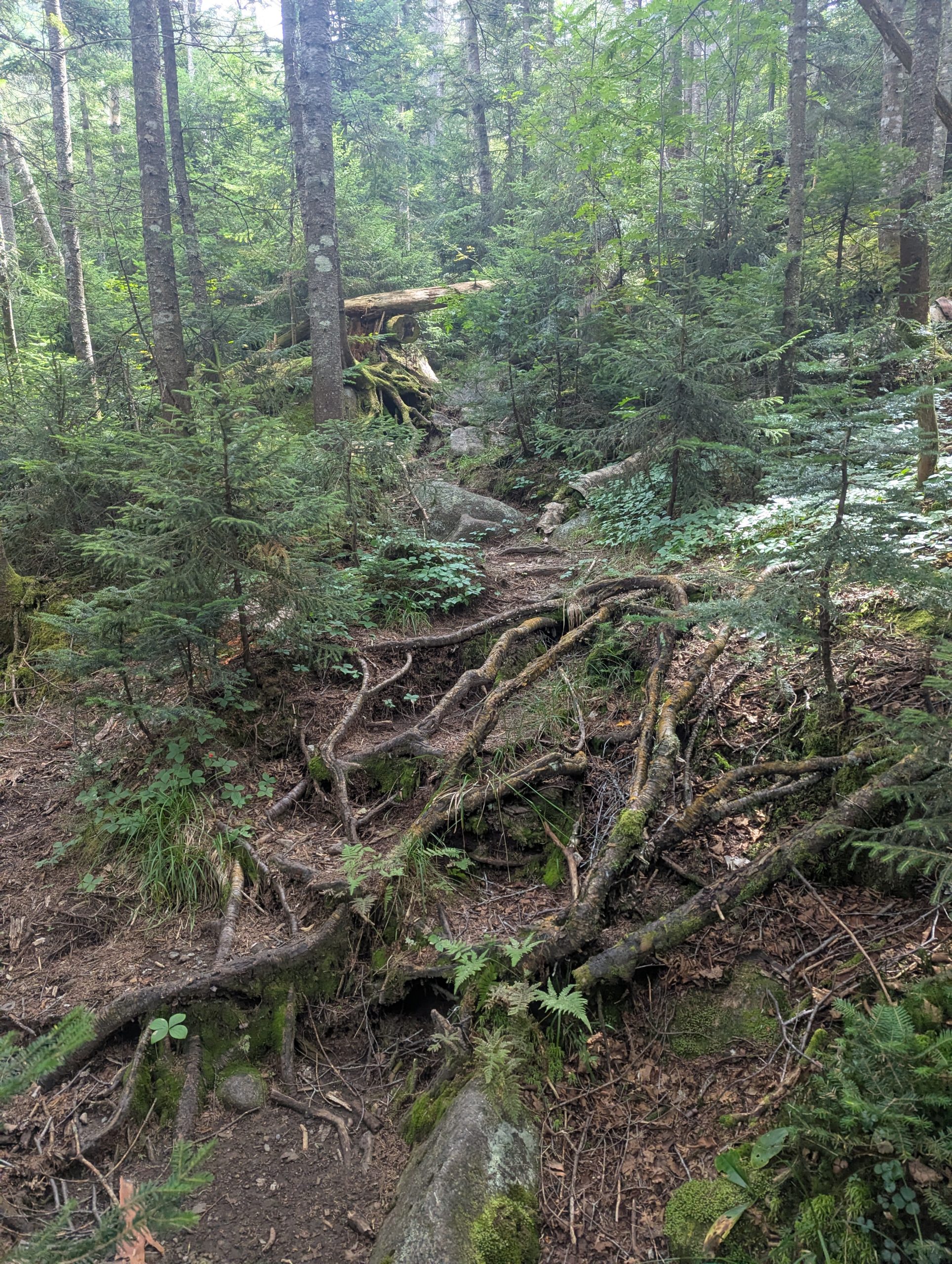
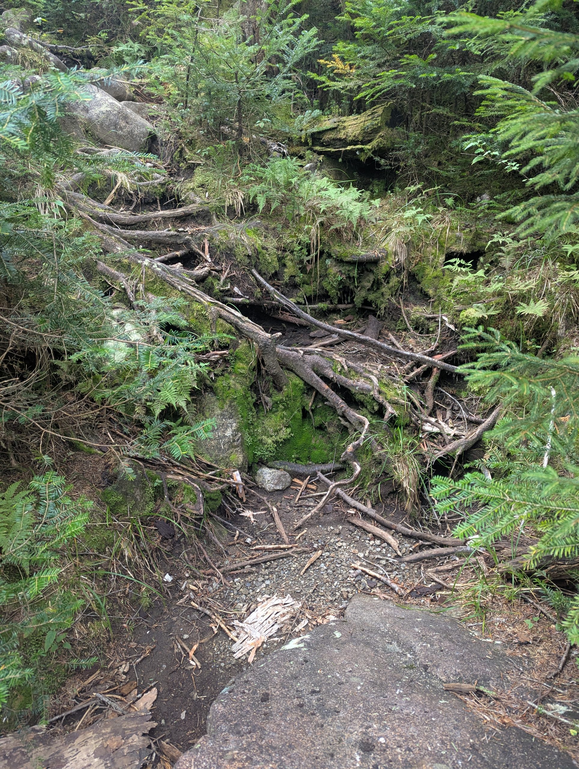
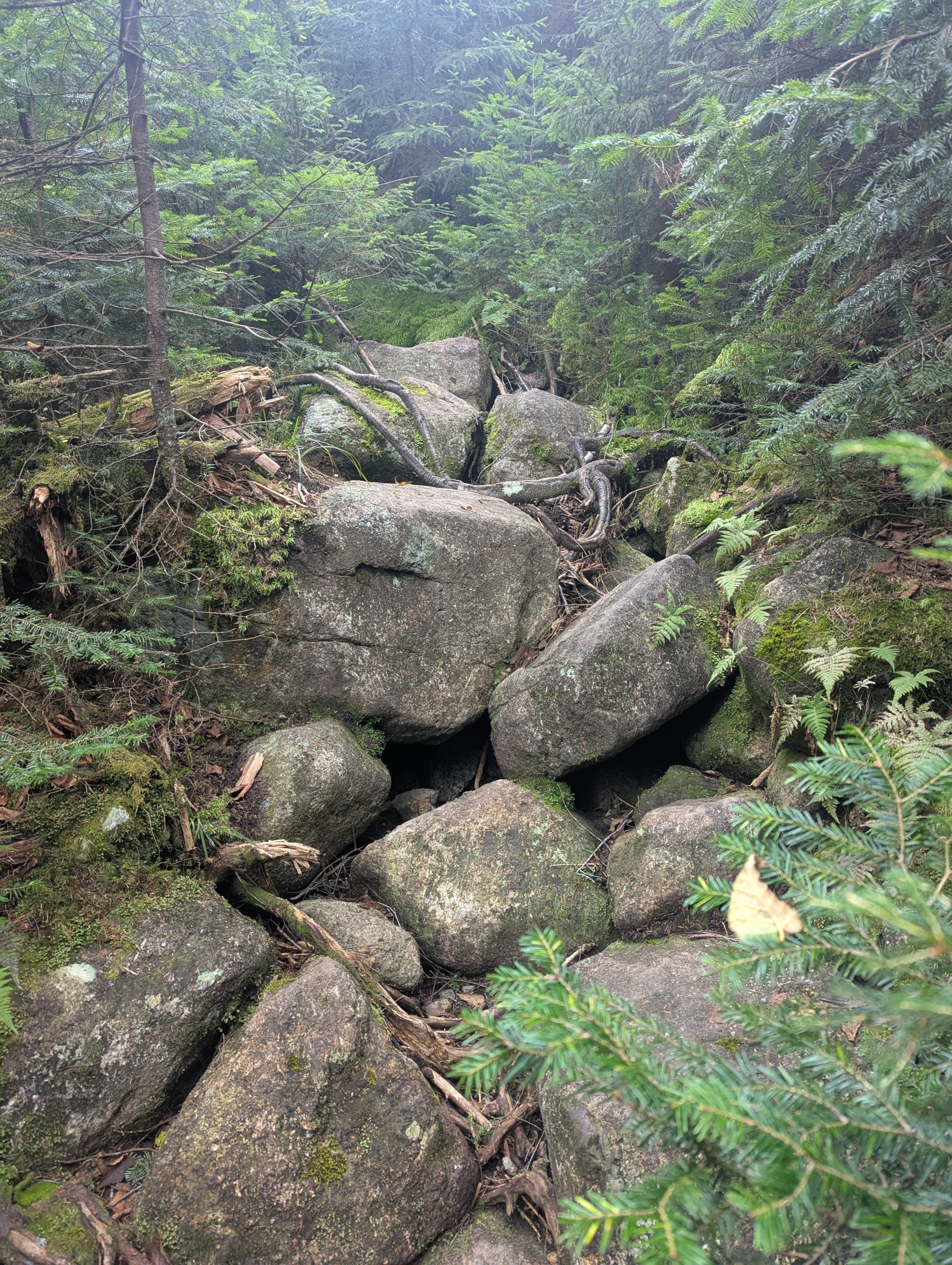
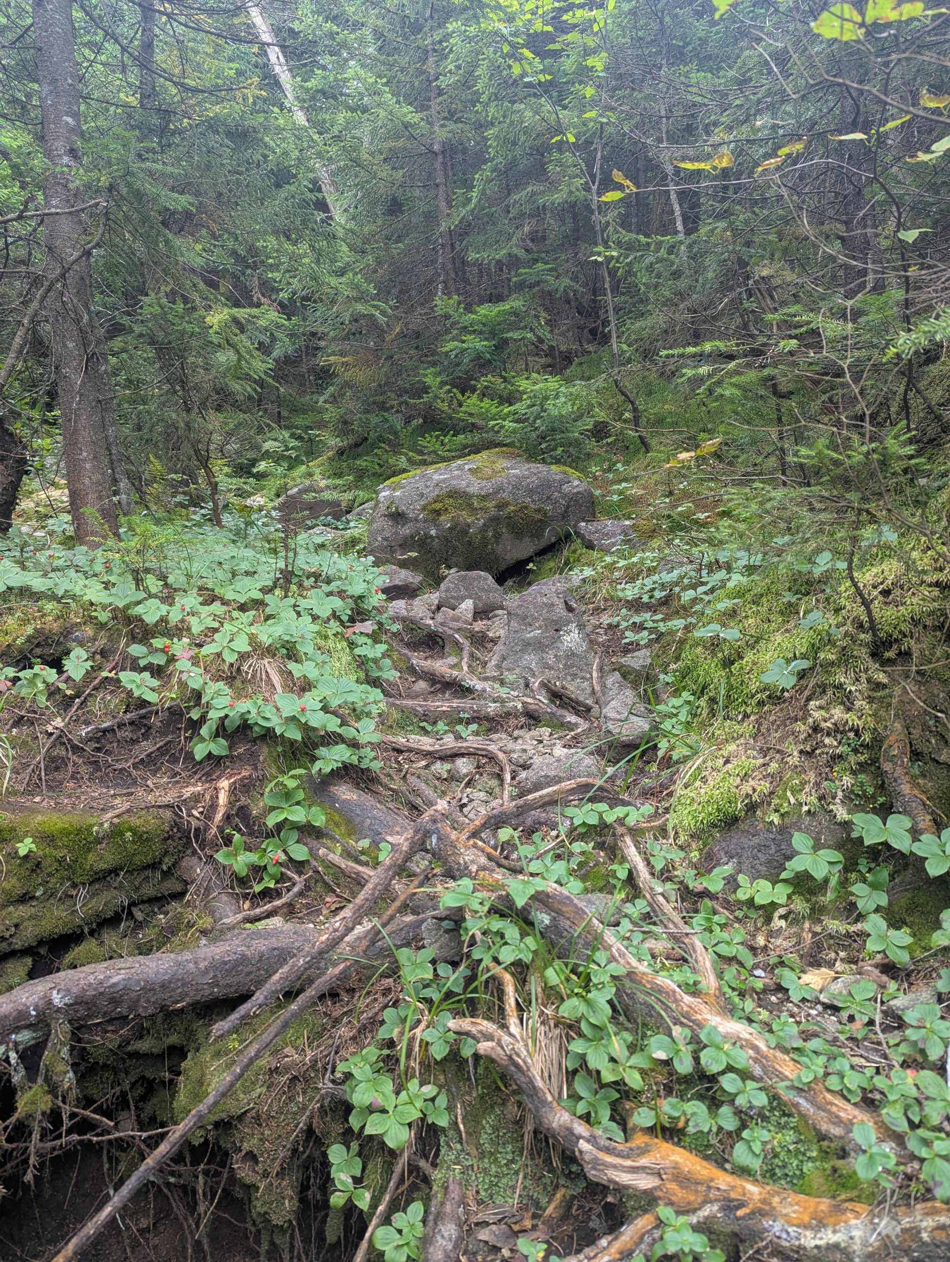
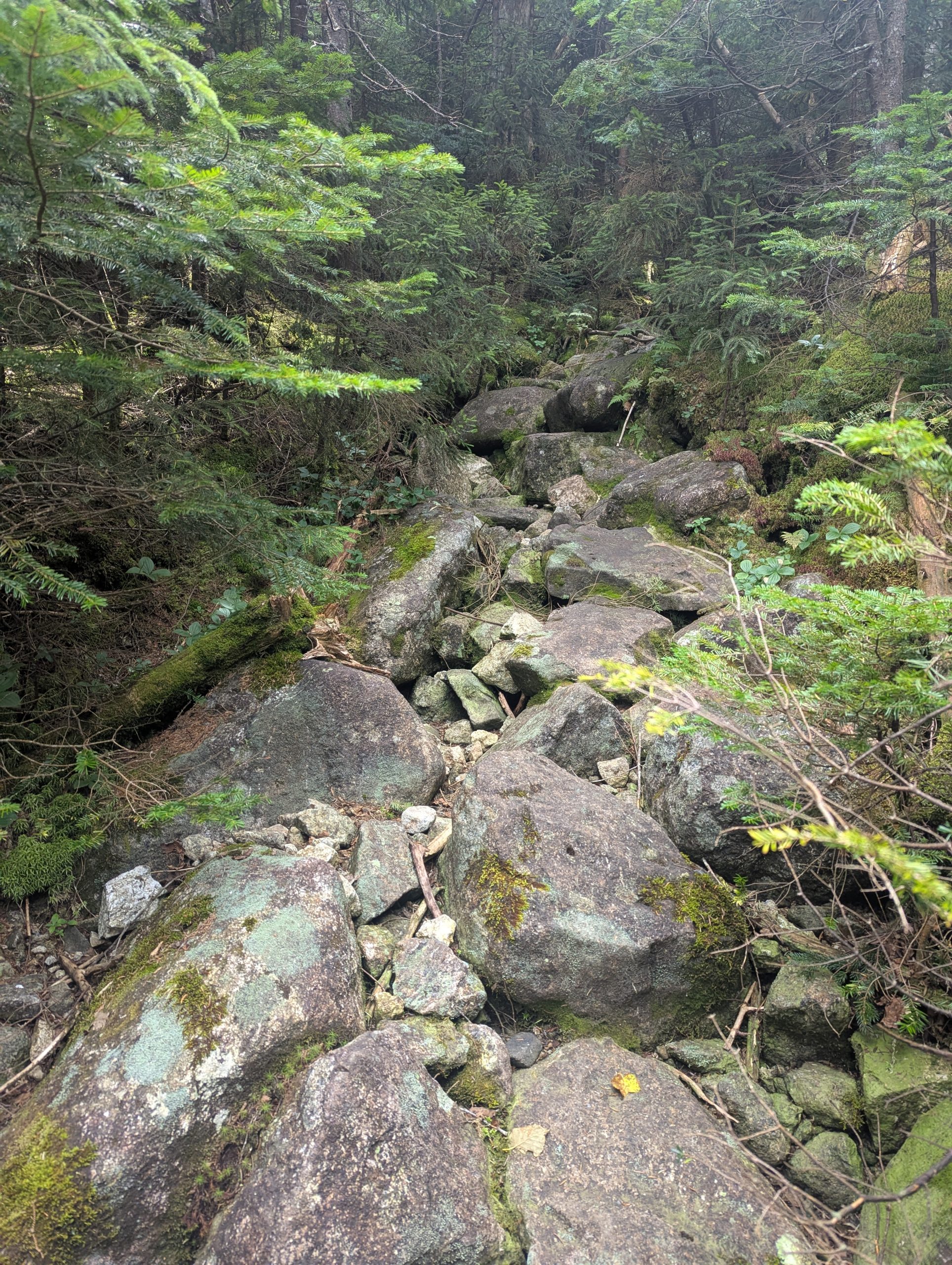
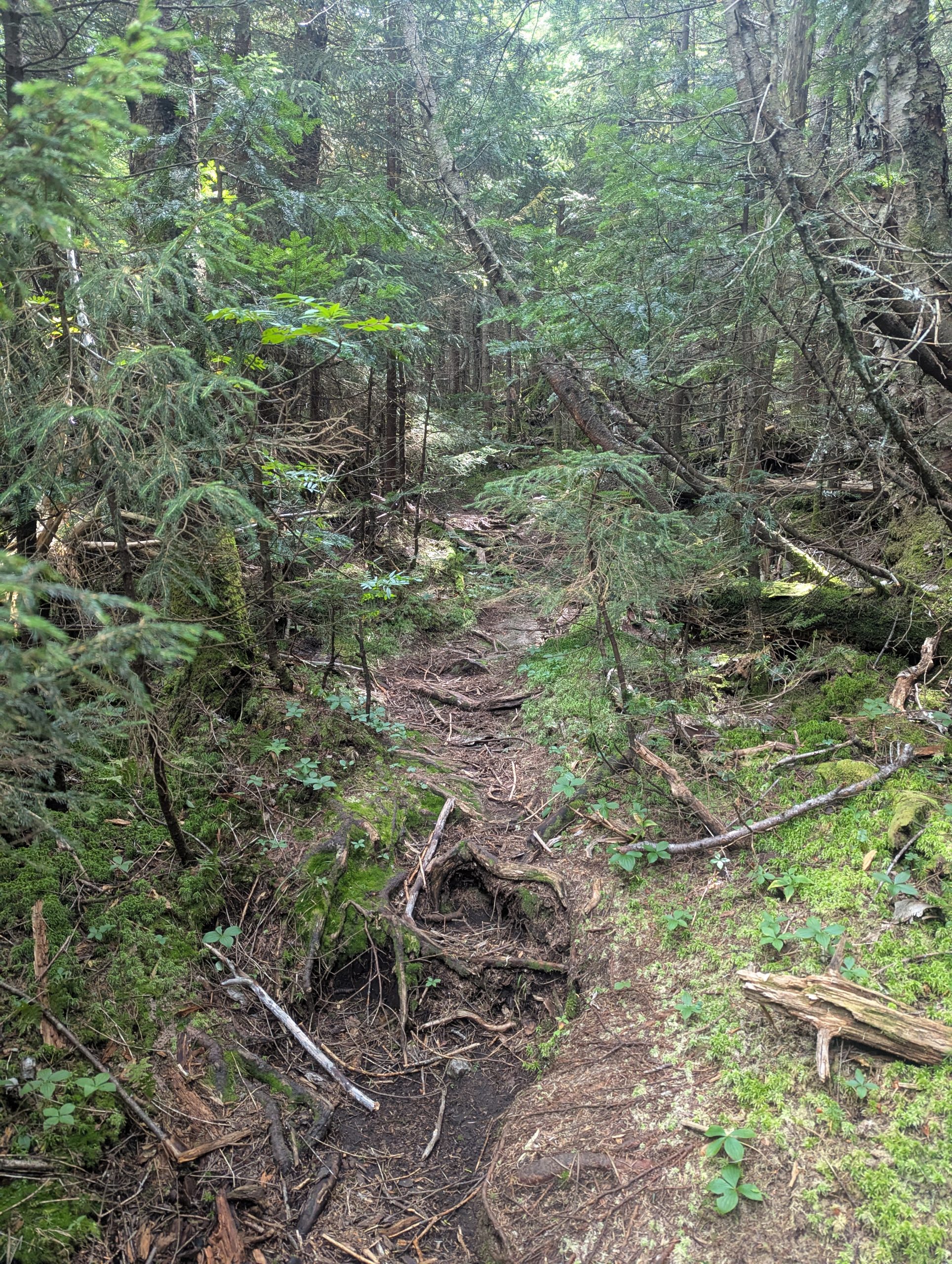
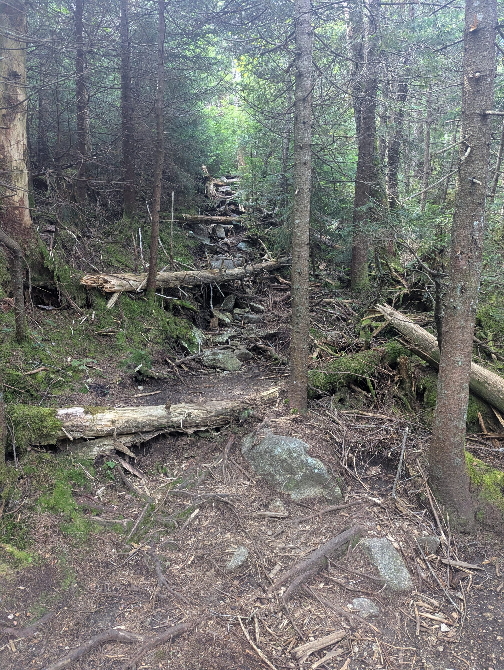
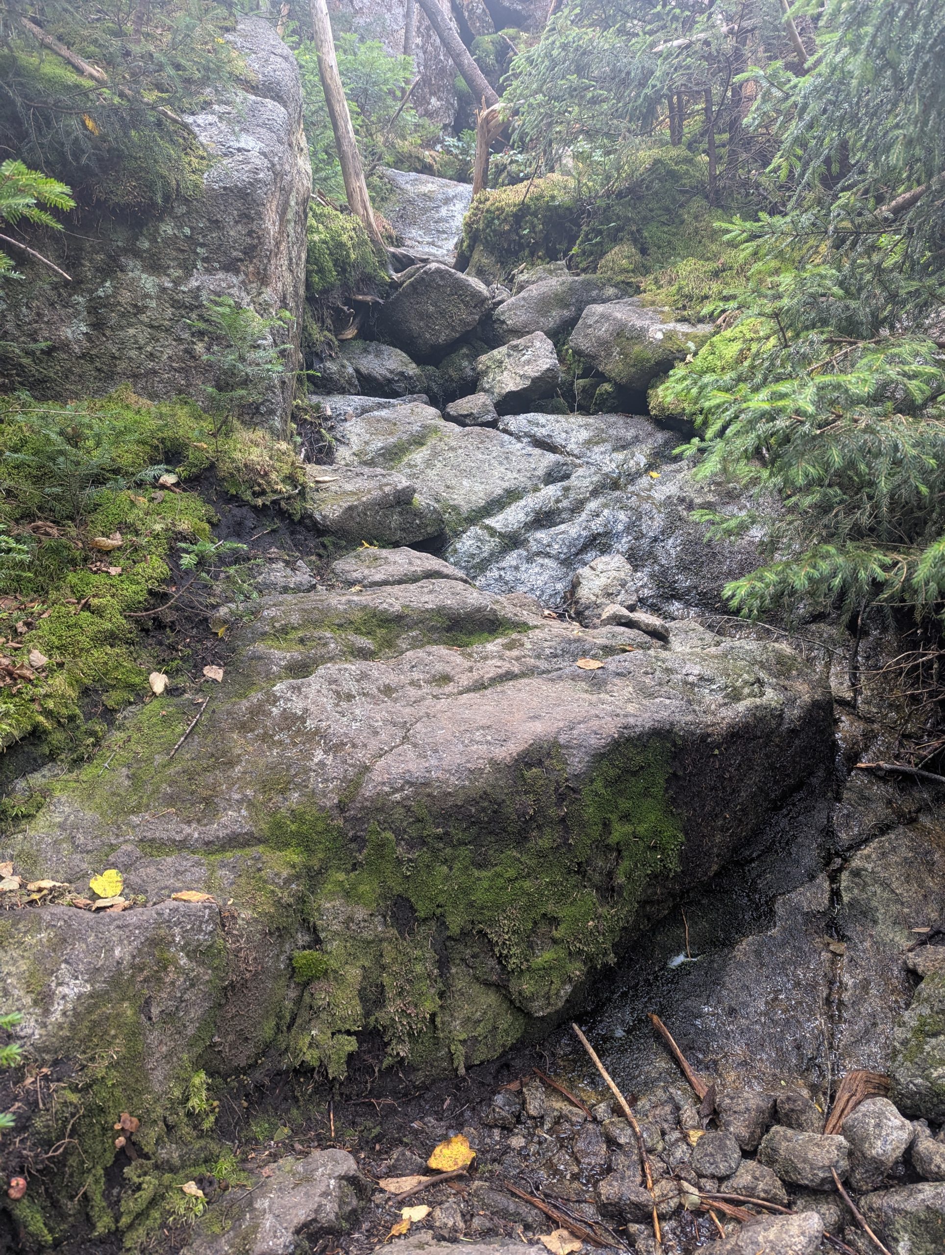
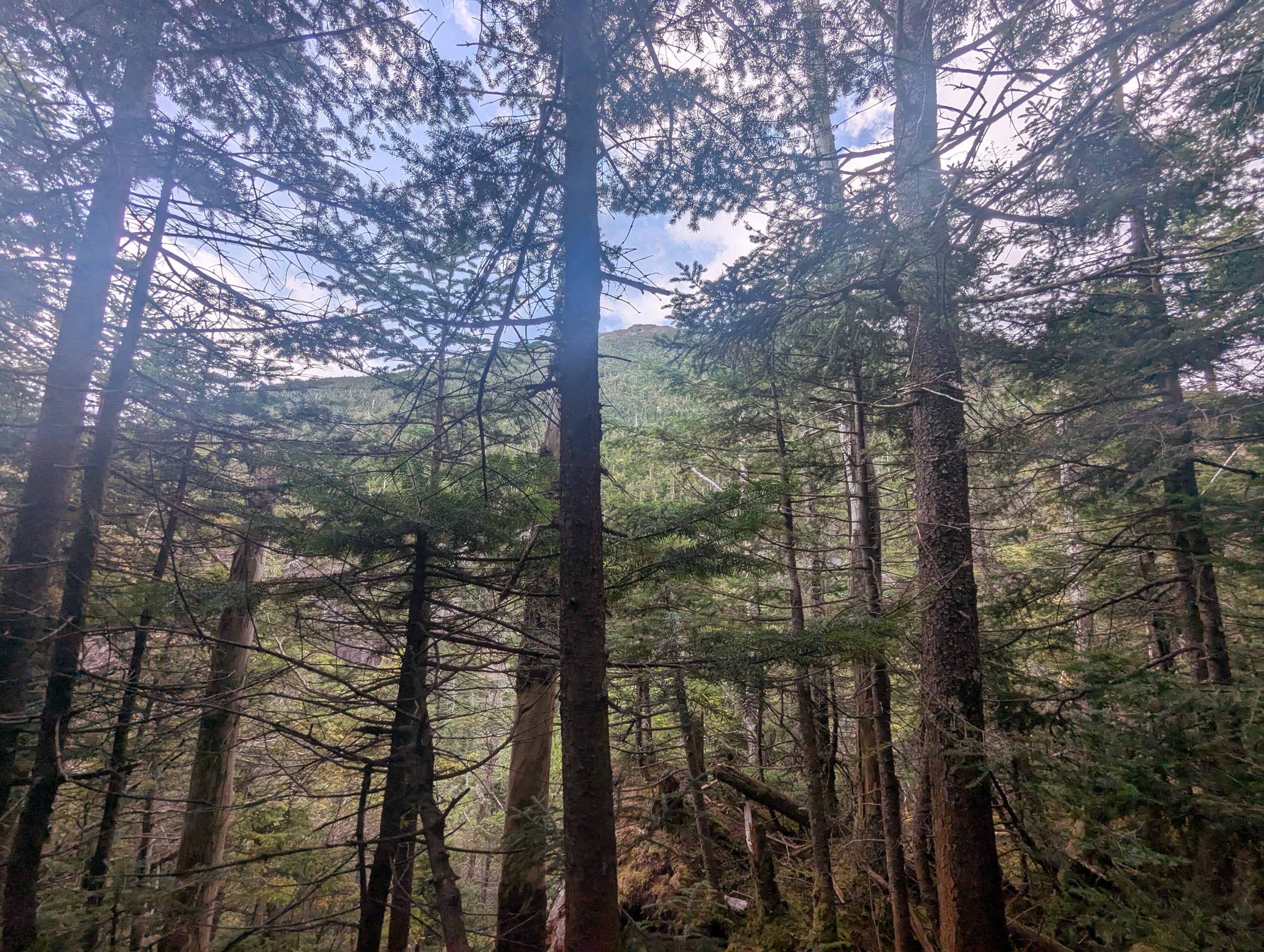
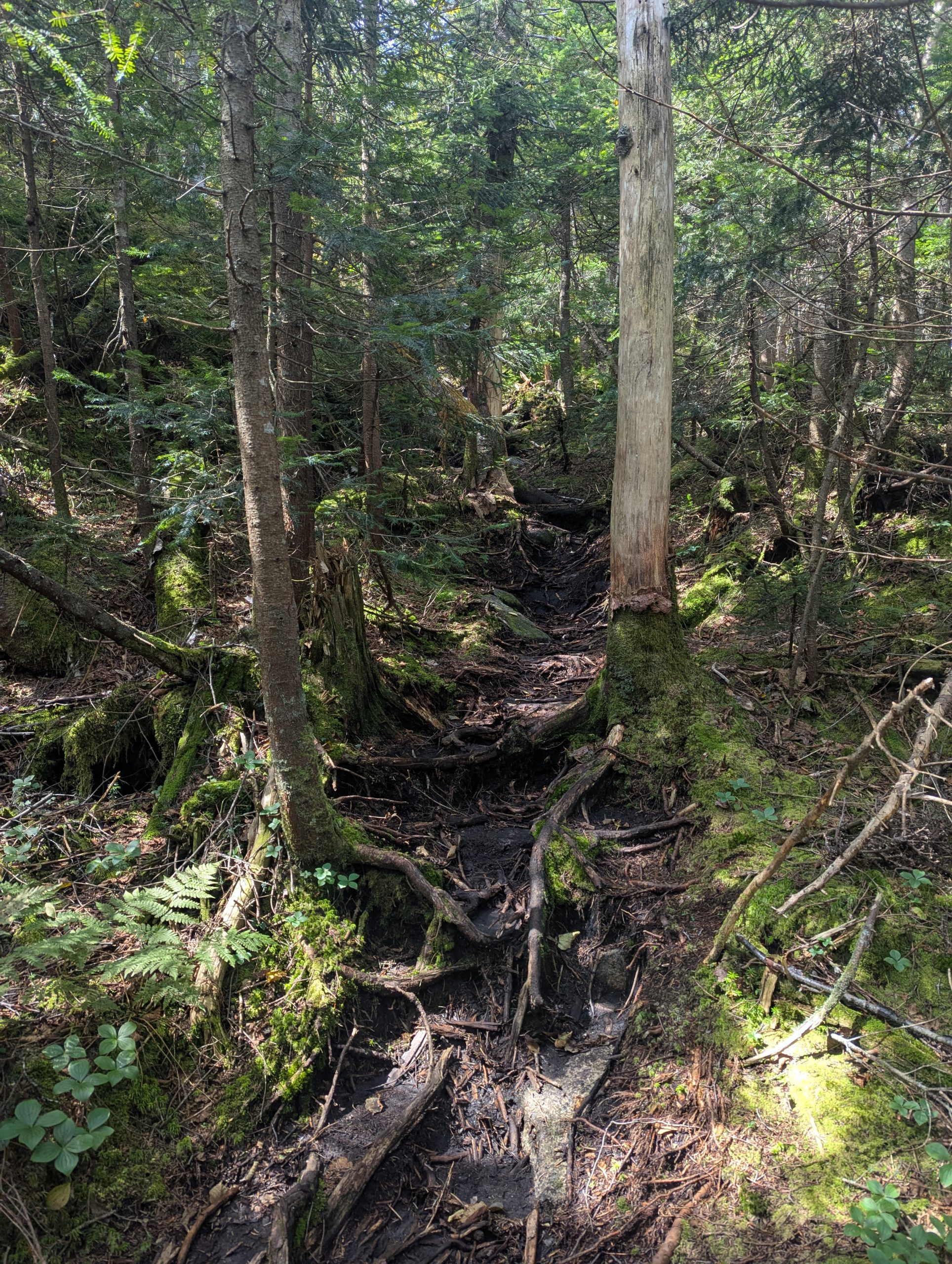
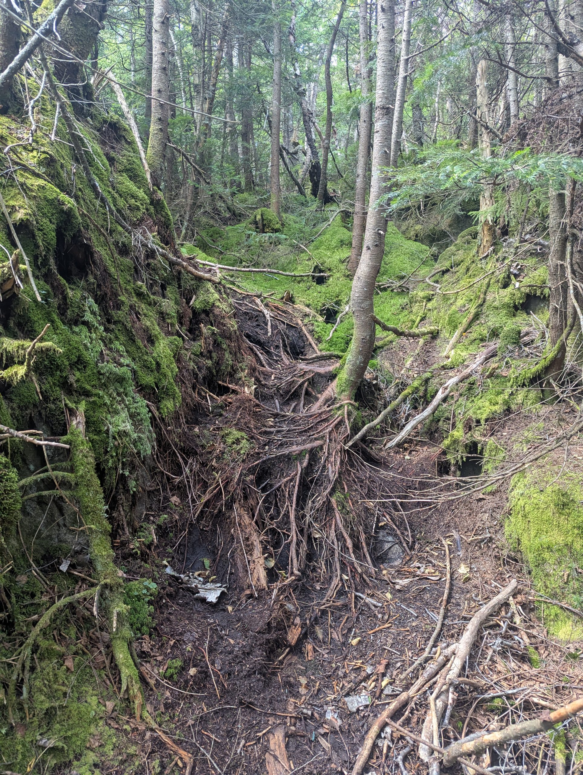
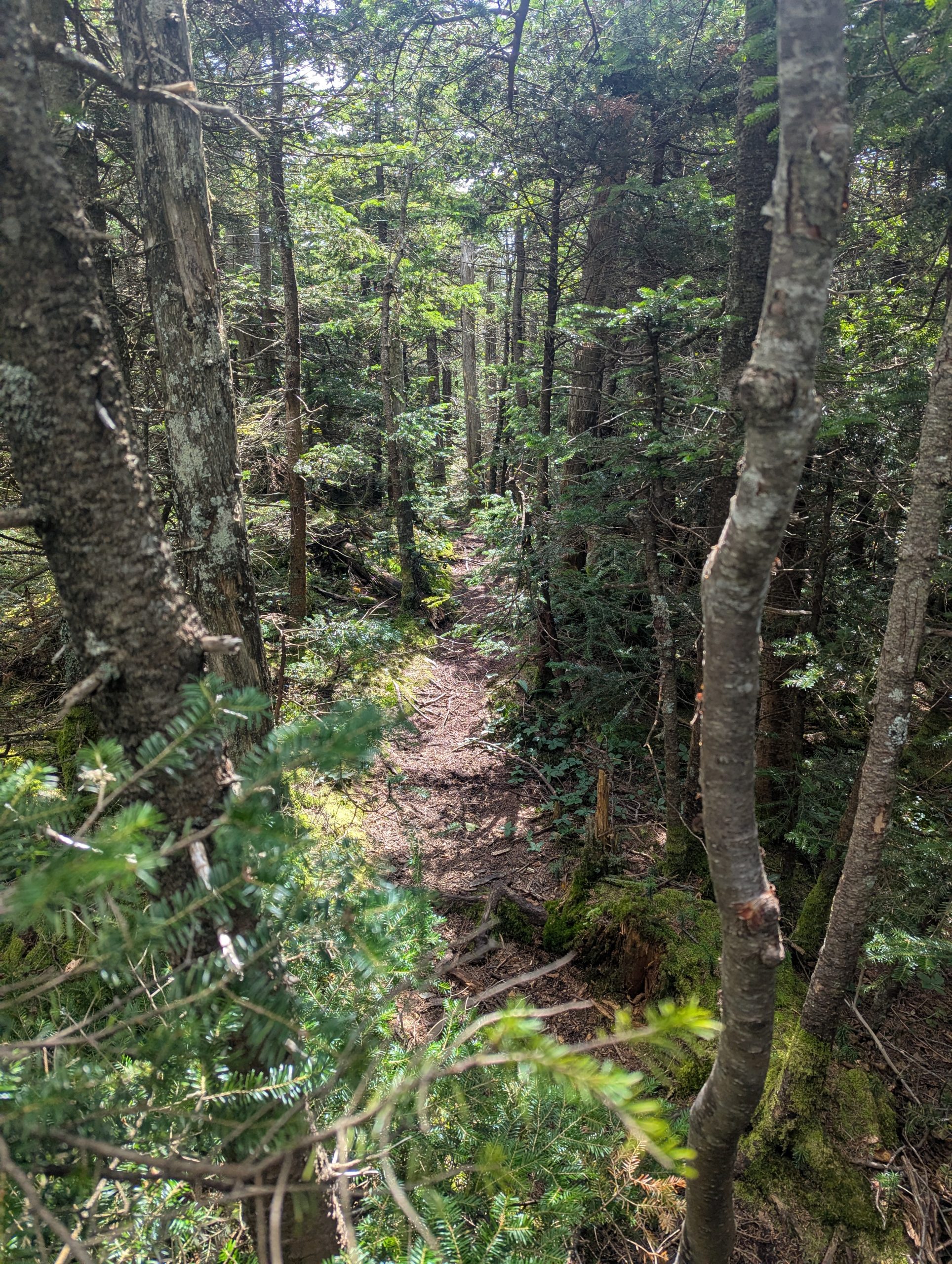
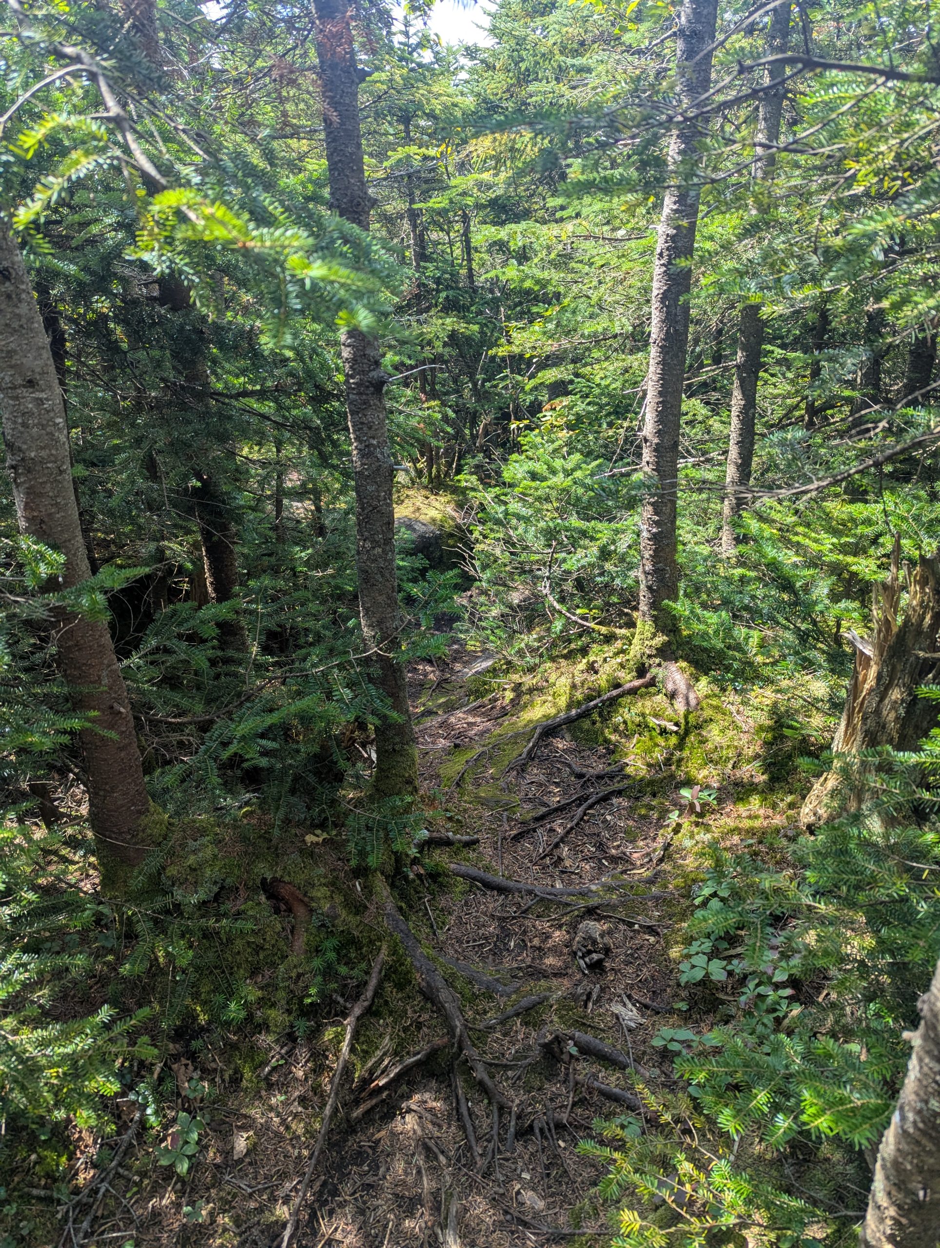
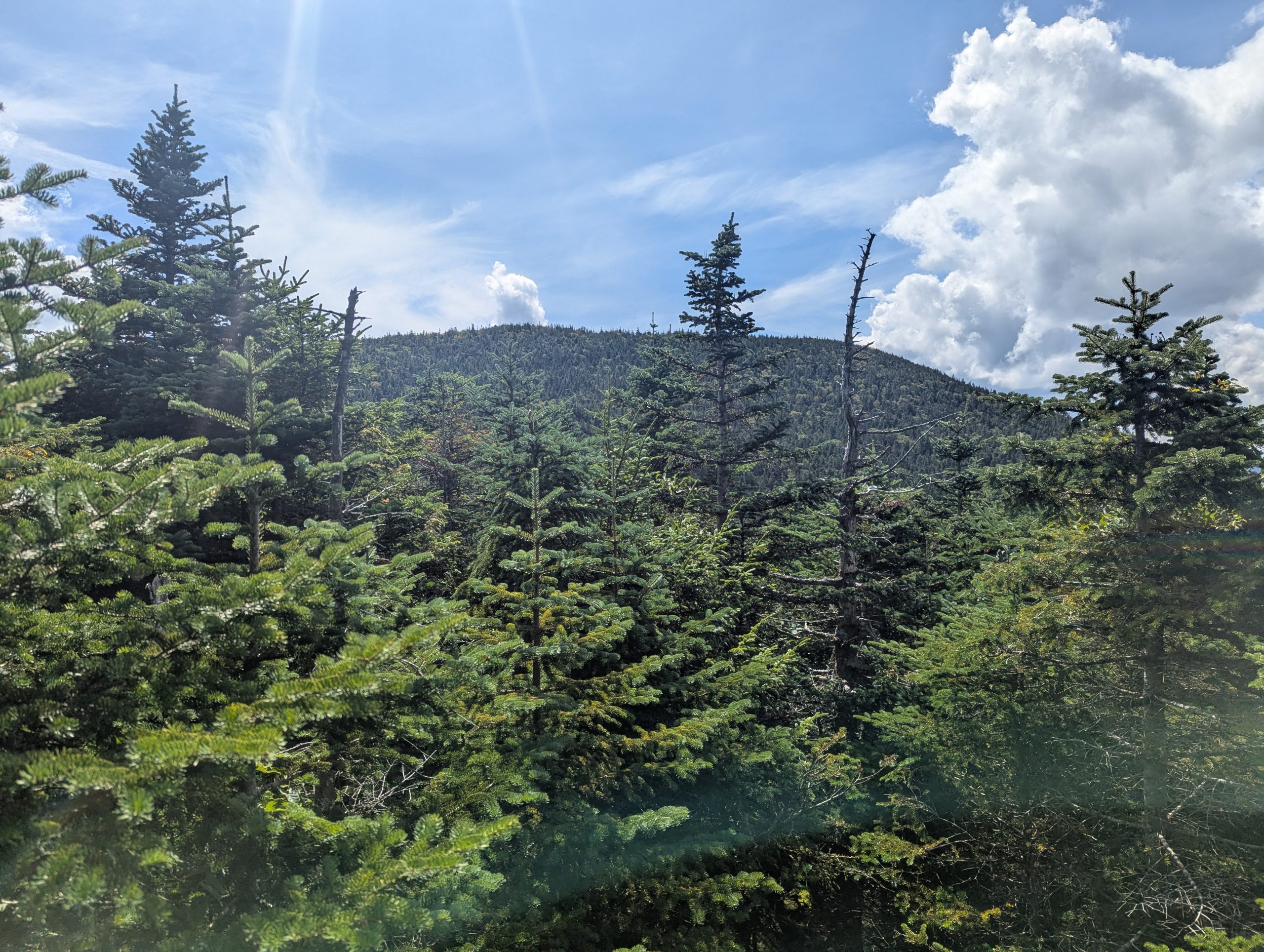
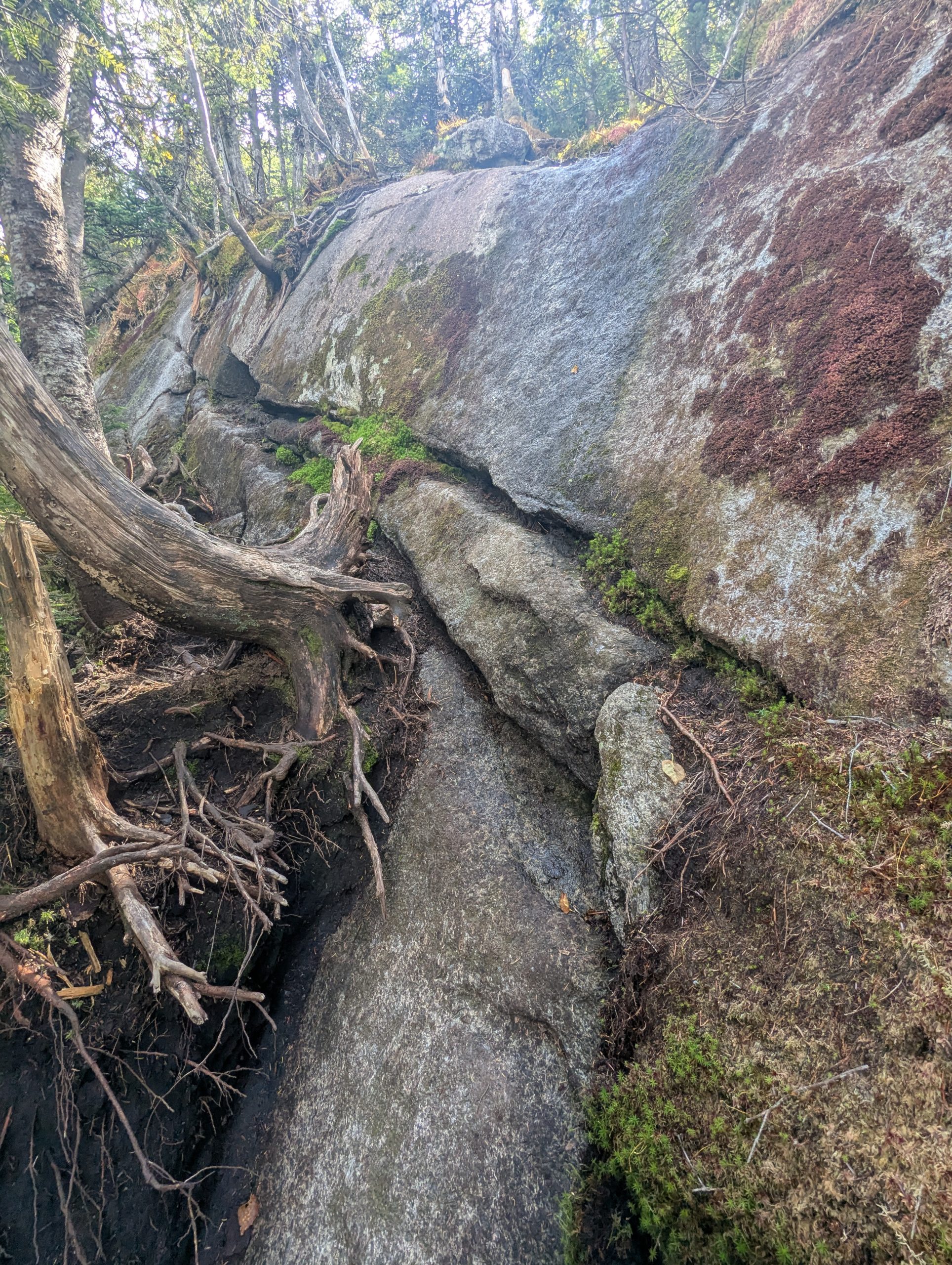
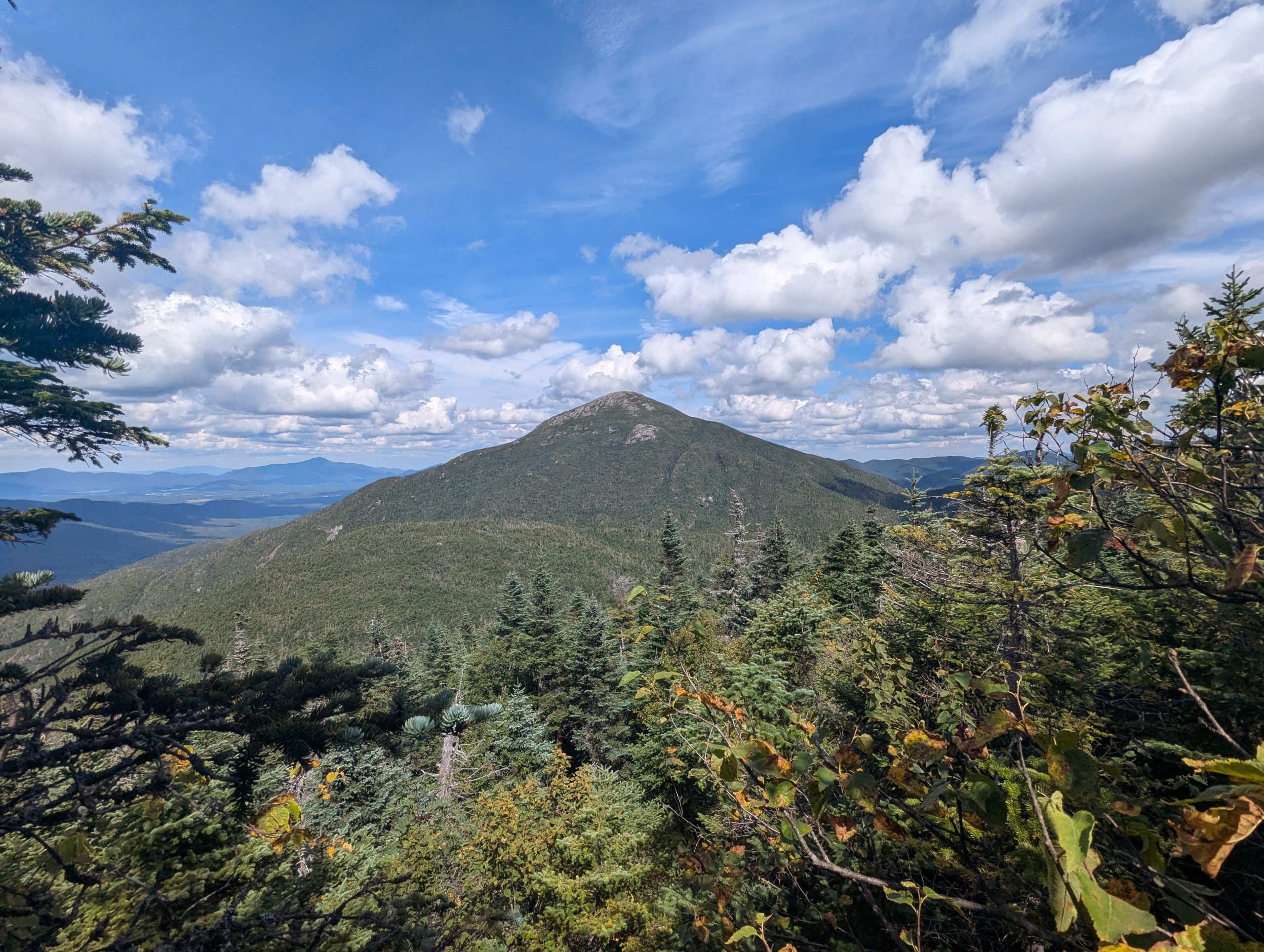
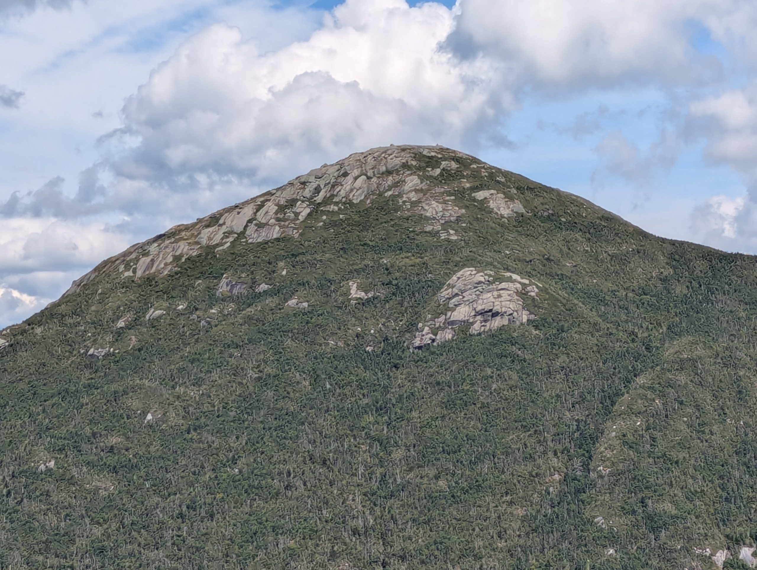
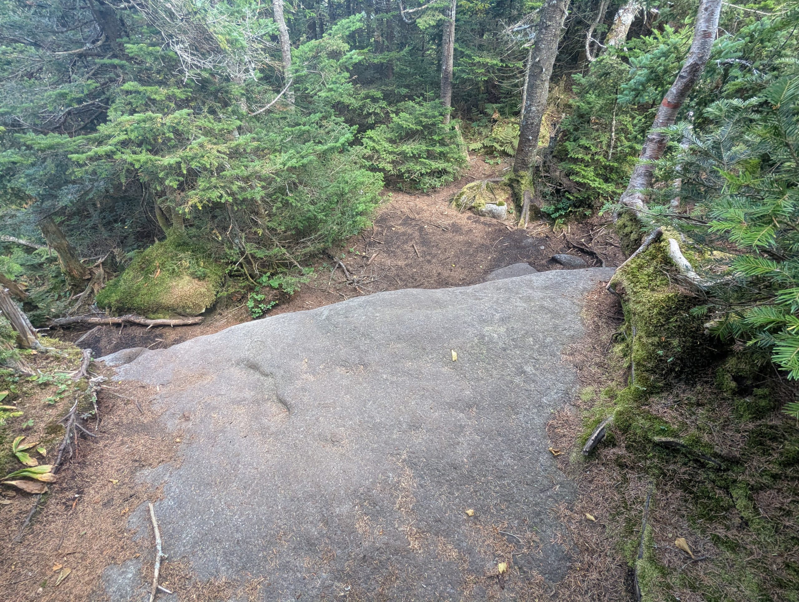
The climb to Marshall from Cold Brook held all the usual challenges: rooted scrambles, stubborn mud holes, and enough tilt in the rocks to keep each step deliberate. Even in late August, the mountain clings to moisture in ways that defy the calendar. The turn onto the Marshall summit herd path is fairly obvious and straightforward, it rises then dips through a col where it gets a little confusing with many herd paths, but then rises and crosses a number of slabs before reaching the summit. The summit, as expected, was modest — partial views through breaks in the trees, quiet, and more about being there than what you can see from it.
Descent Toward Lake Colden
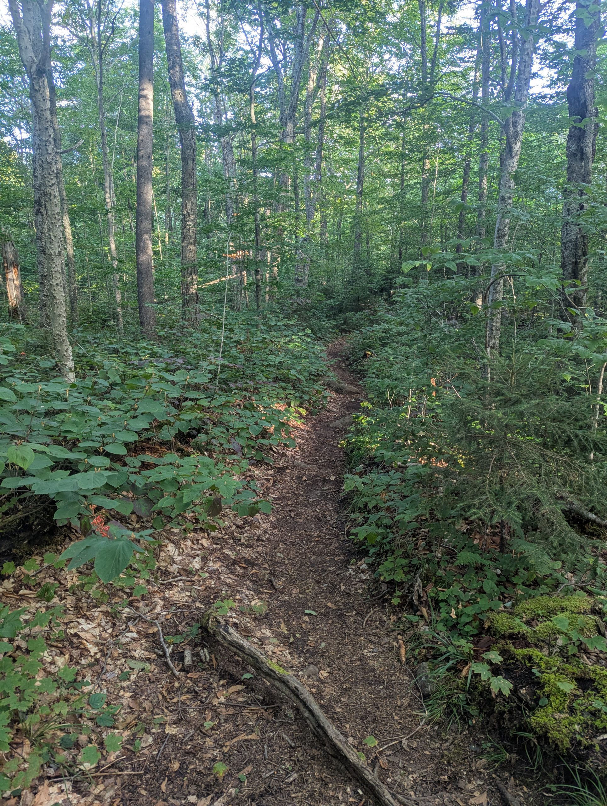
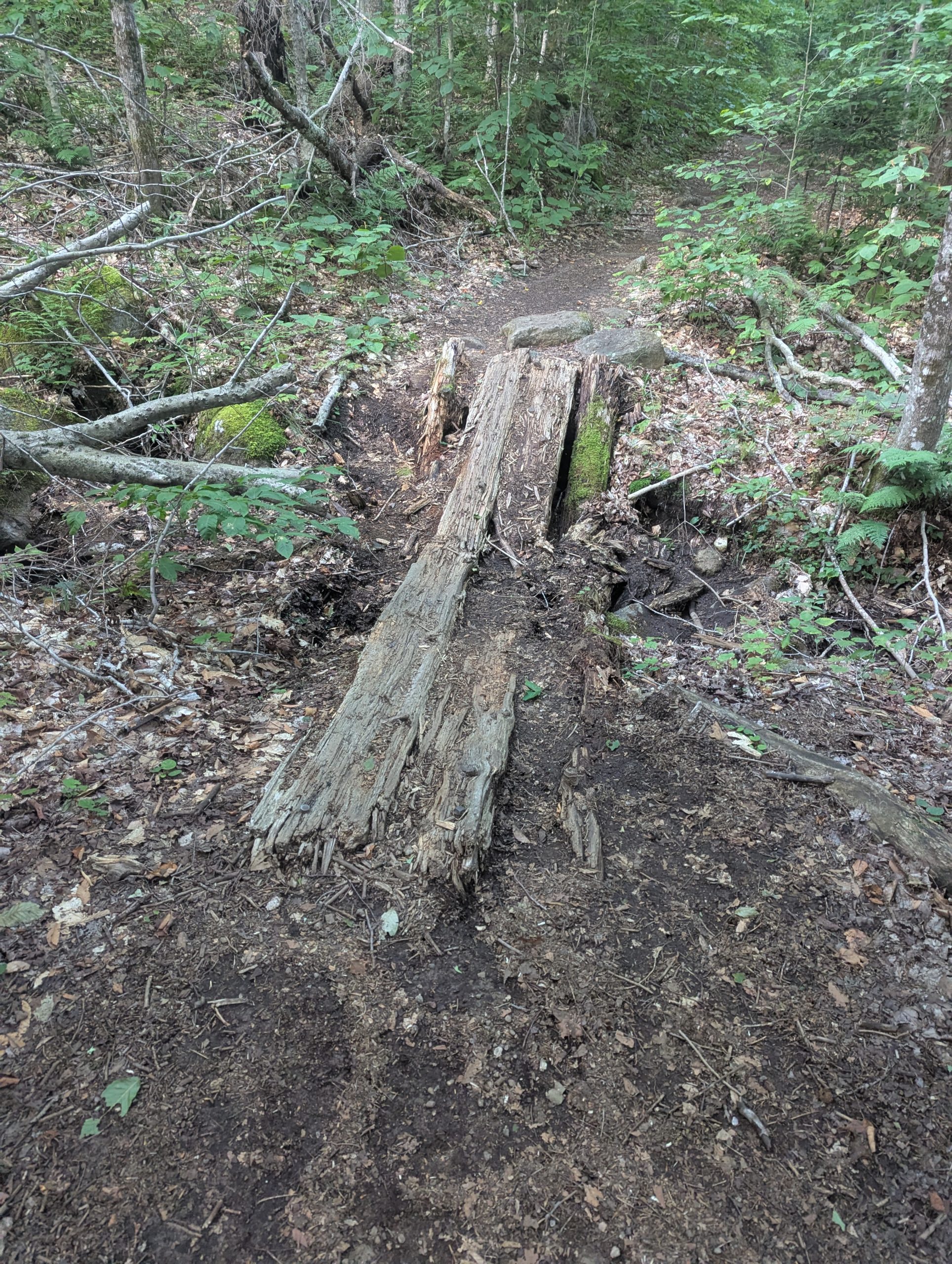
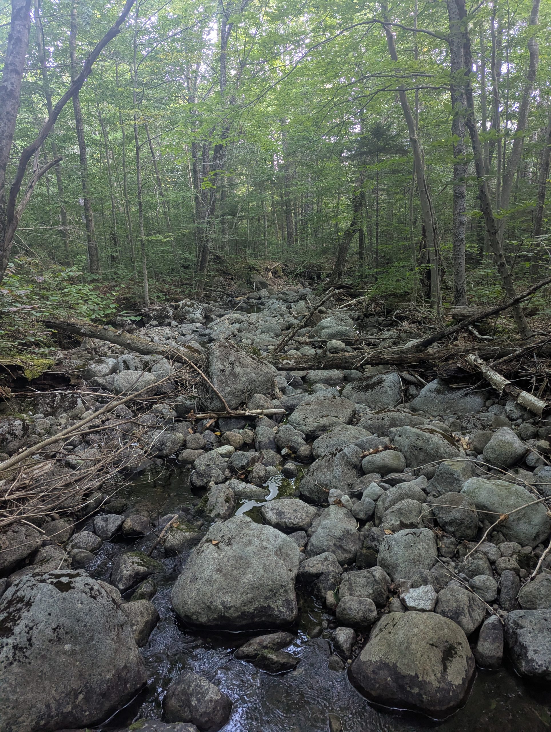
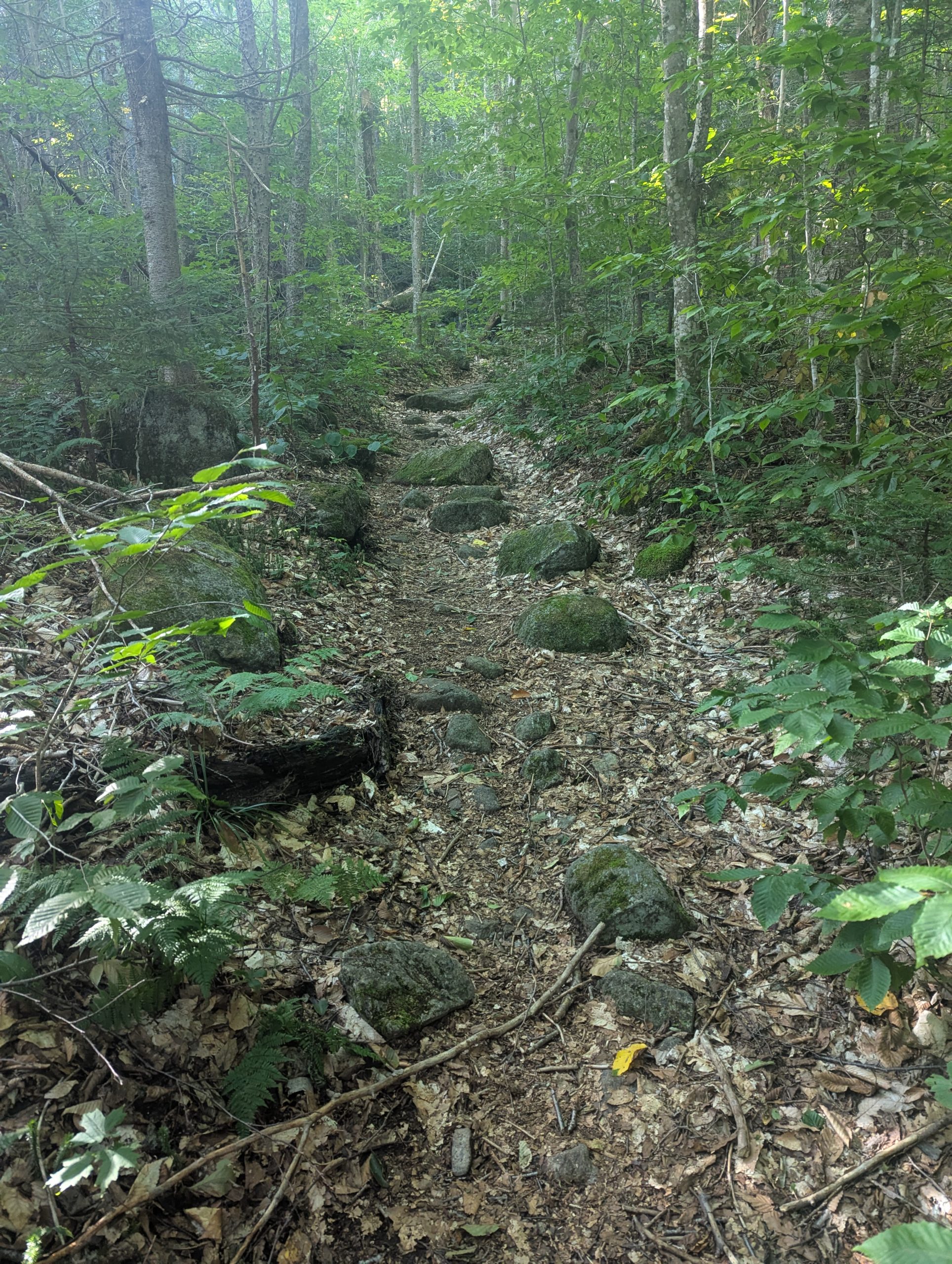
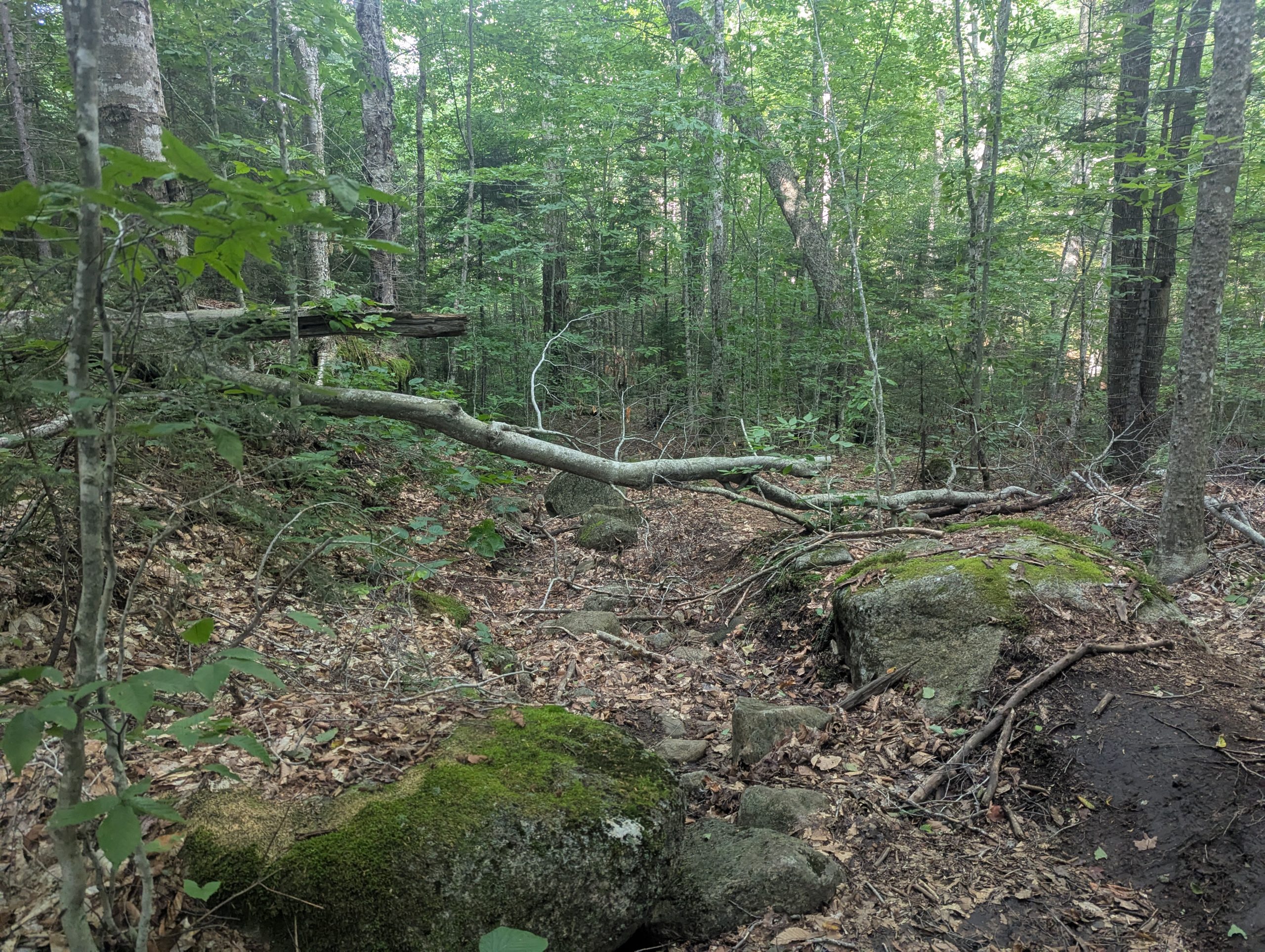
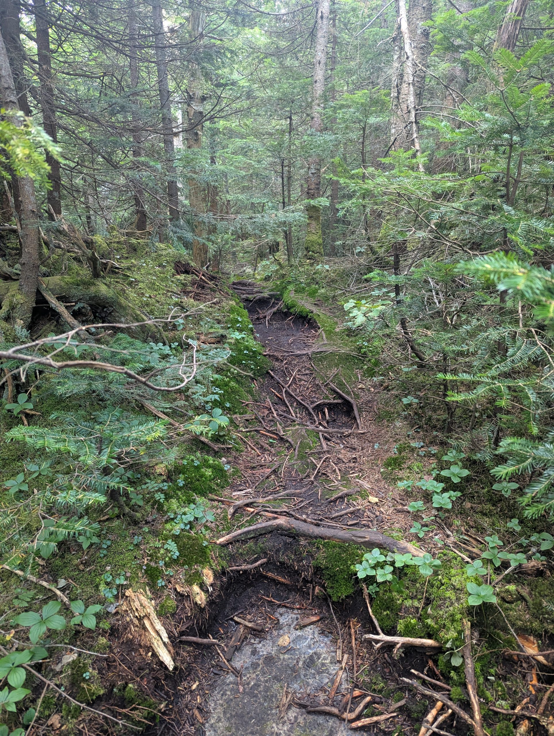
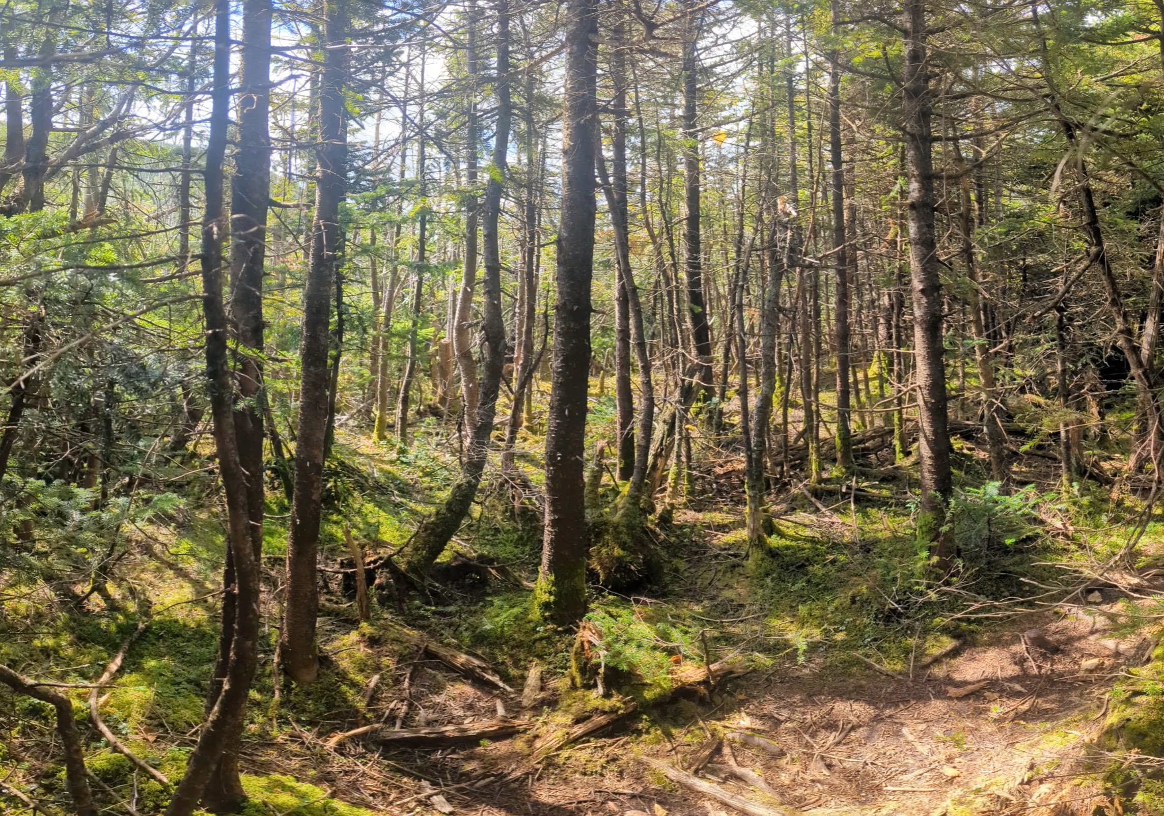
The initial descent off Marshall turned out to be much easier than expected — steep in a few short spots, but generally straightforward and far less technical than many accounts make it sound. I moved quickly without feeling rushed. That’s probably what set up the next part: the moment the grade eased and the forest opened slightly, I realized I’d drifted onto the Herbert Brook route rather than the herd path toward the Cold Brook Trail. The trails overlap just long enough in that area to lull you into thinking you’re still on the right line, and by the time the mistake registered, I had already dropped more elevation than I was willing to claw back immediately.
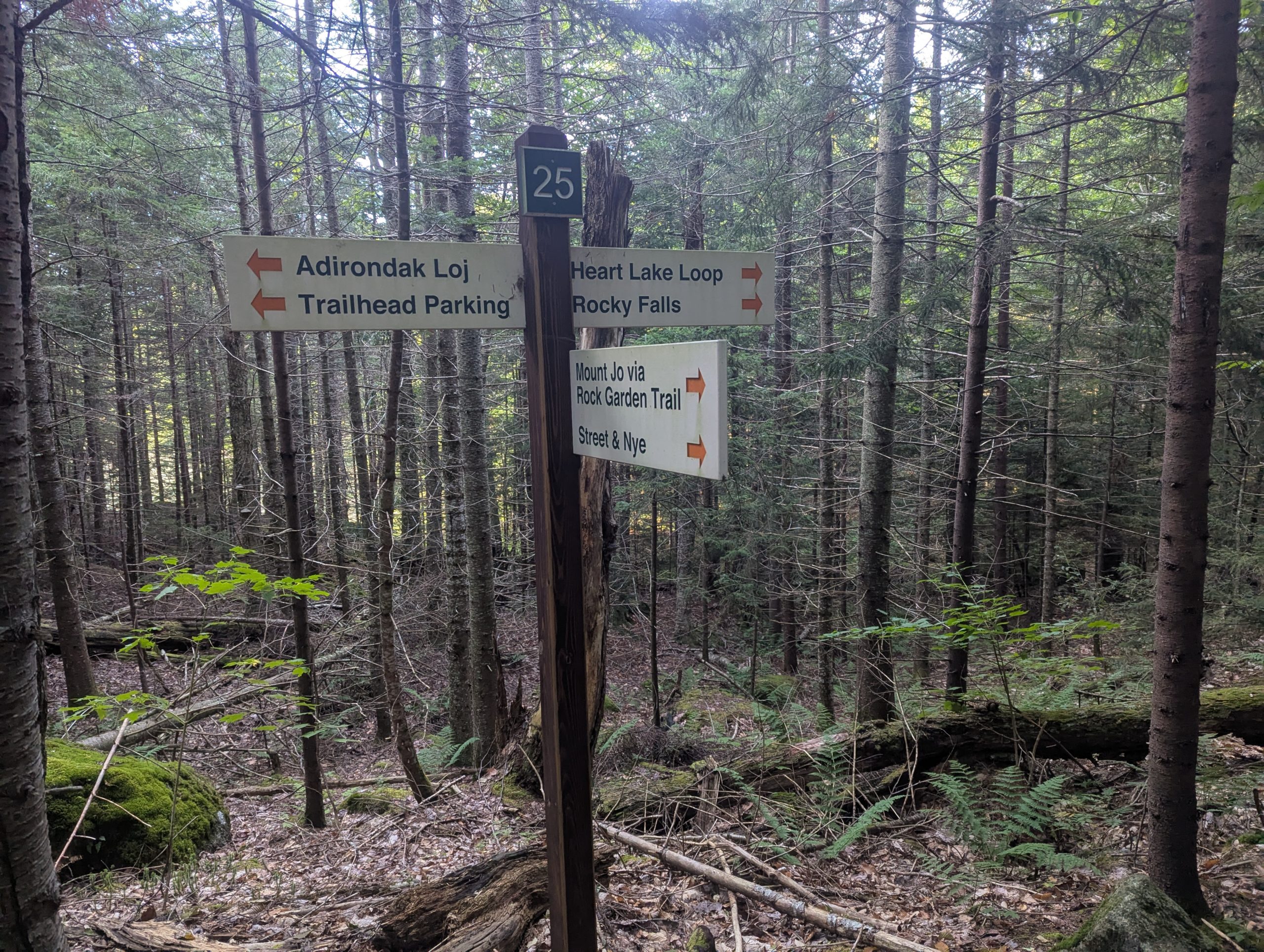
Backtracking up Cold Brook from the Lake Colden junction was an option, but not a good one given the time of day. Reversing the climb would have eaten what daylight I had left before even reaching Indian Pass again. So the choice came down to climbing back into the pass late in the day or continuing toward Avalanche Lake and through Avalanche Pass.
Under normal circumstances the decision would be simple — Avalanche Pass is the faster exit — but it was officially closed due to the landslide earlier in the summer. Standing at the junction, the calculation shifted from “what’s ideal” to “what keeps the rest of the day manageable.” Fatigue had already settled in, and the idea of grinding back up over Cold Brook made the choice for me.
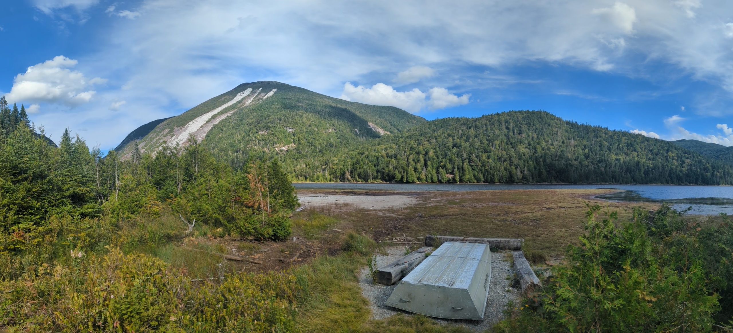
I followed the drainage down to Lake Colden and committed to heading through the closure. The goal was to get a look at the slide damage and shorten the long walk back to the Loj. I’ve gone through Avalanche Pass a few dozen times over the years and doing it in the dark wasn’t a concern. The only question was what the conditions would be like post-slide.
Avalanche Pass – Boards, Boulders, and Big Walls
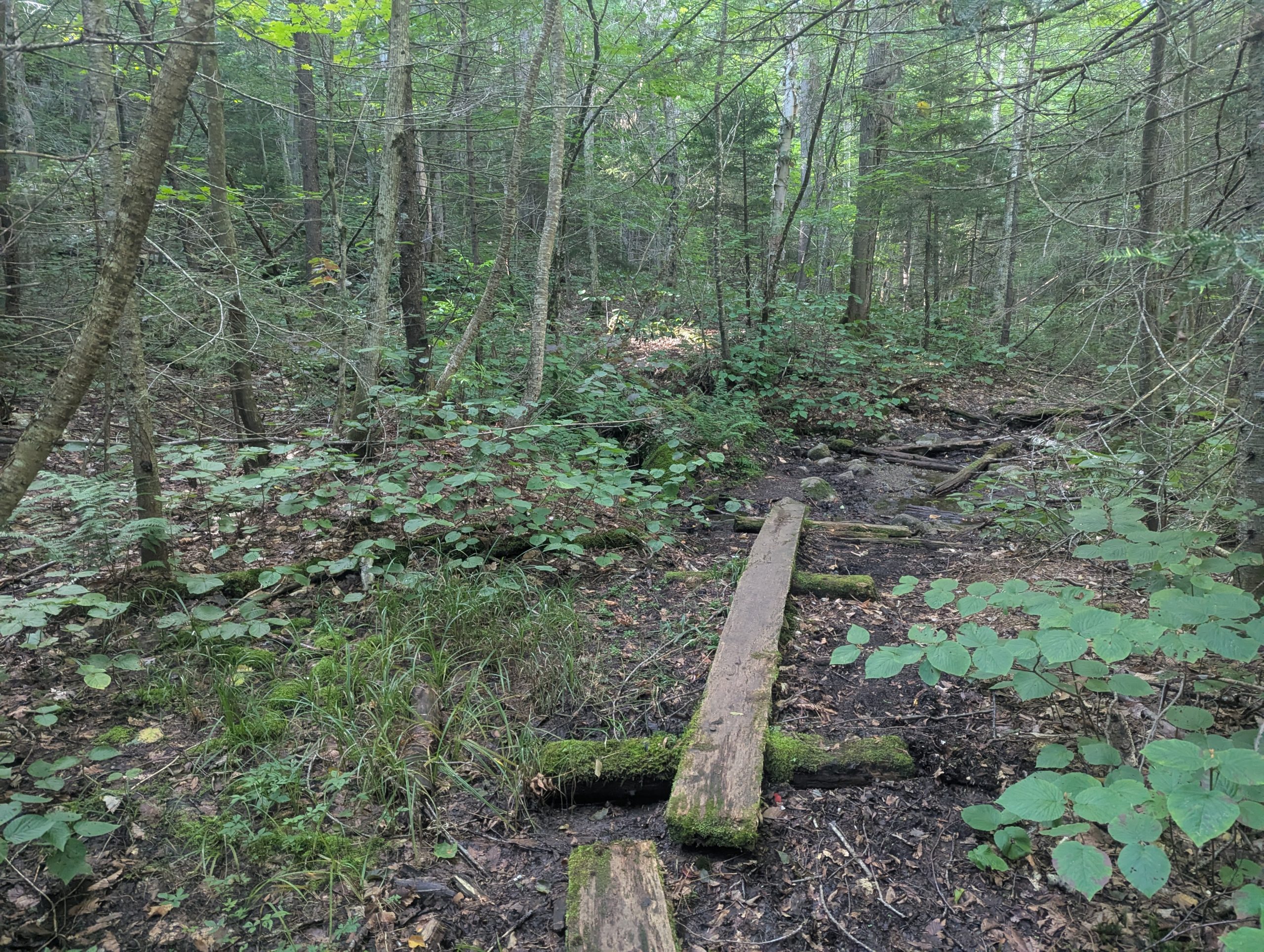
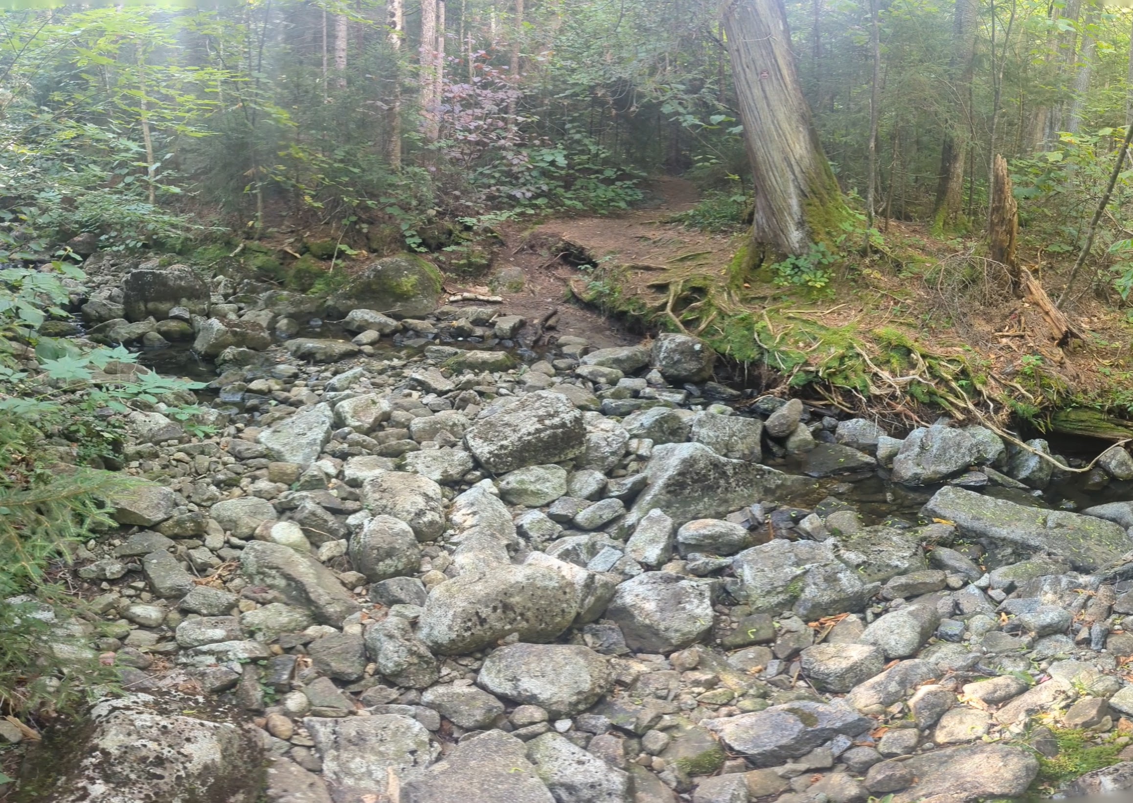
From the junction near Lake Colden I followed the trail along the lake, working my way up the east side. That stretch is a mix of bog bridging, roots, and boulders right at water level, with a few spots where the tread squeezes between rock and lake in classic High Peaks fashion.
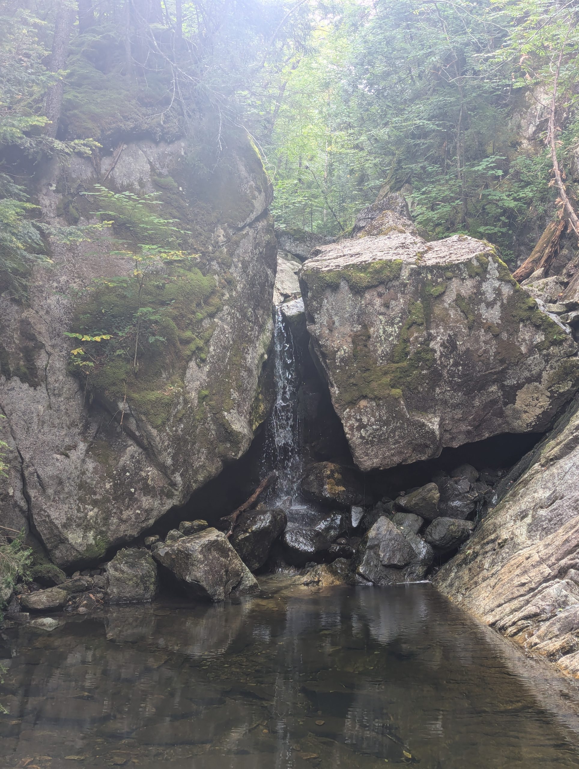
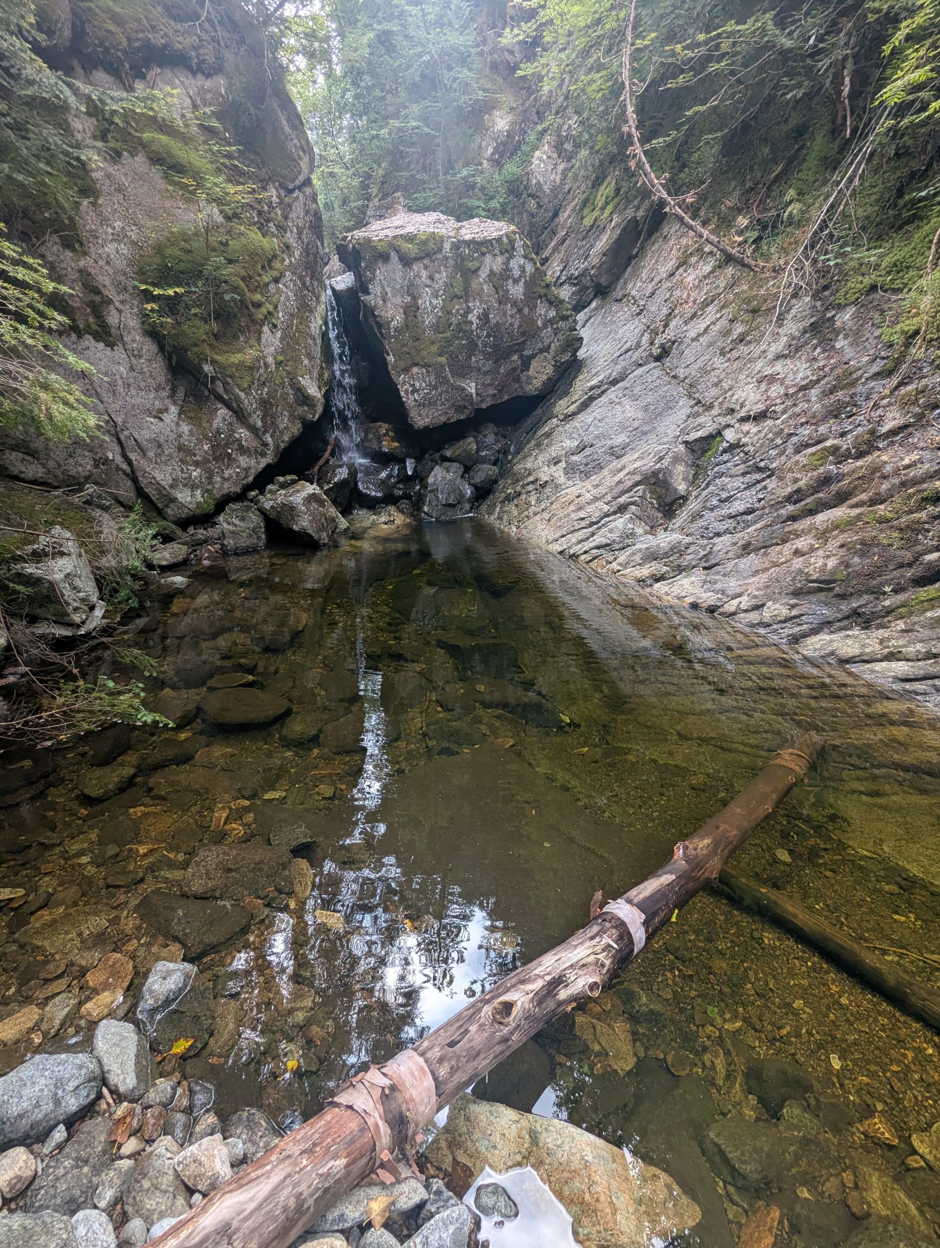
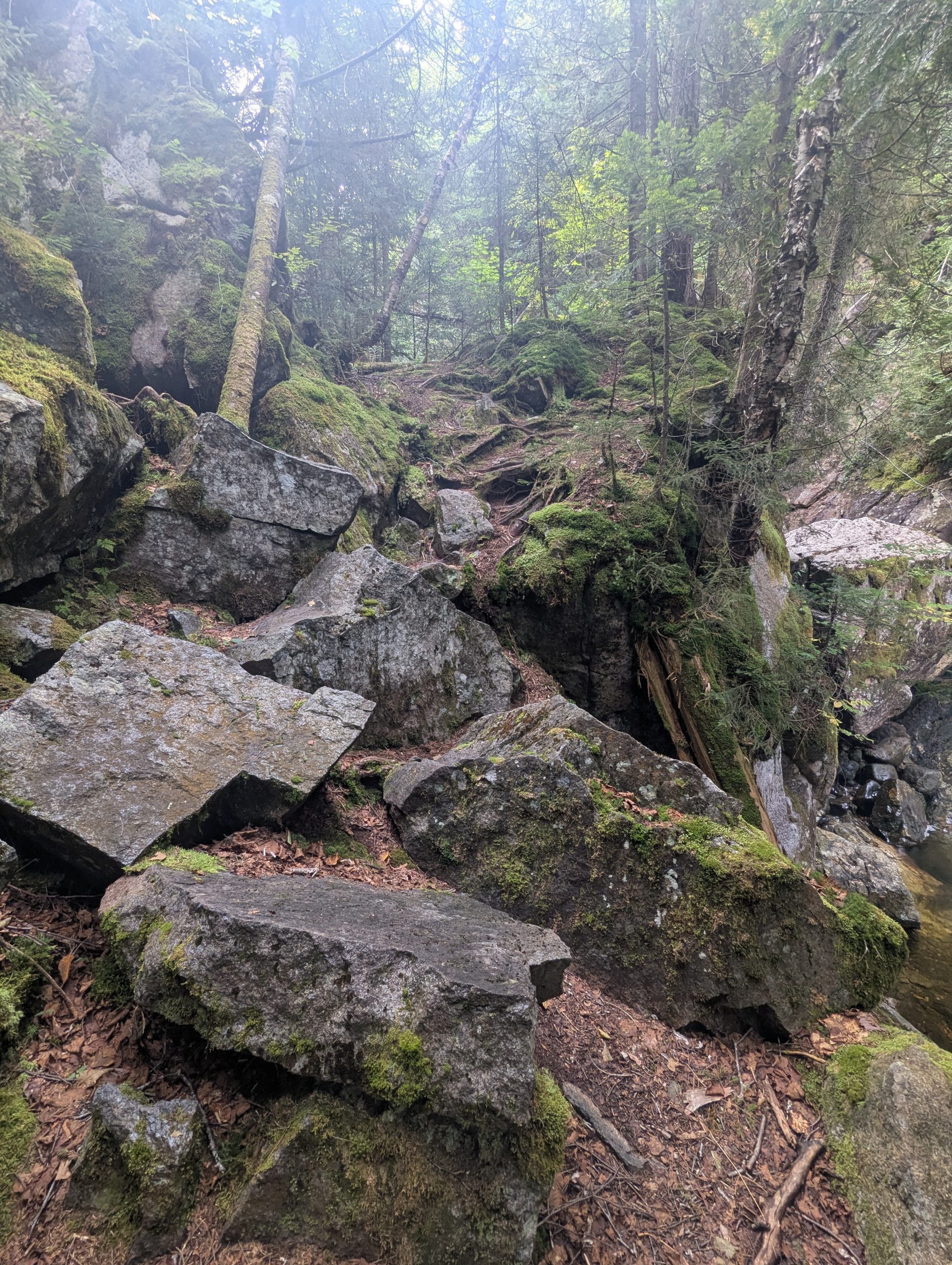
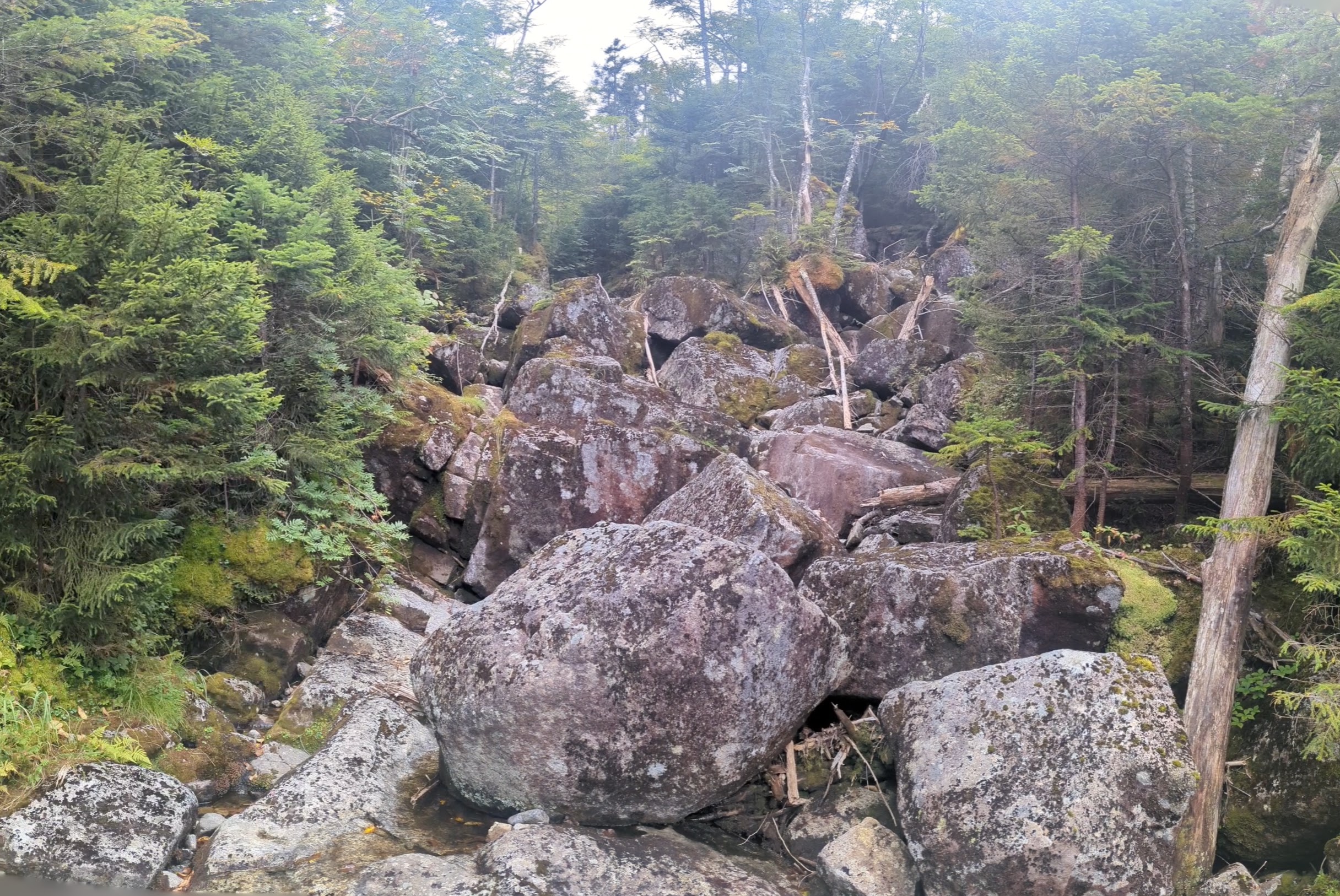
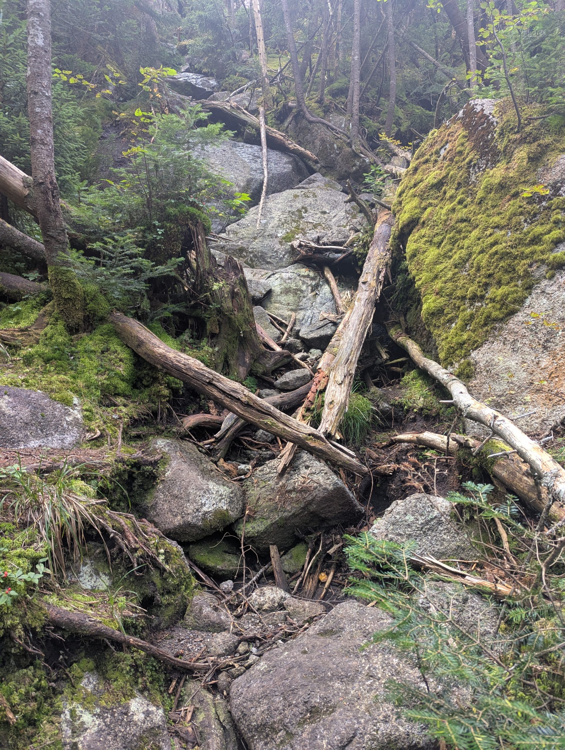
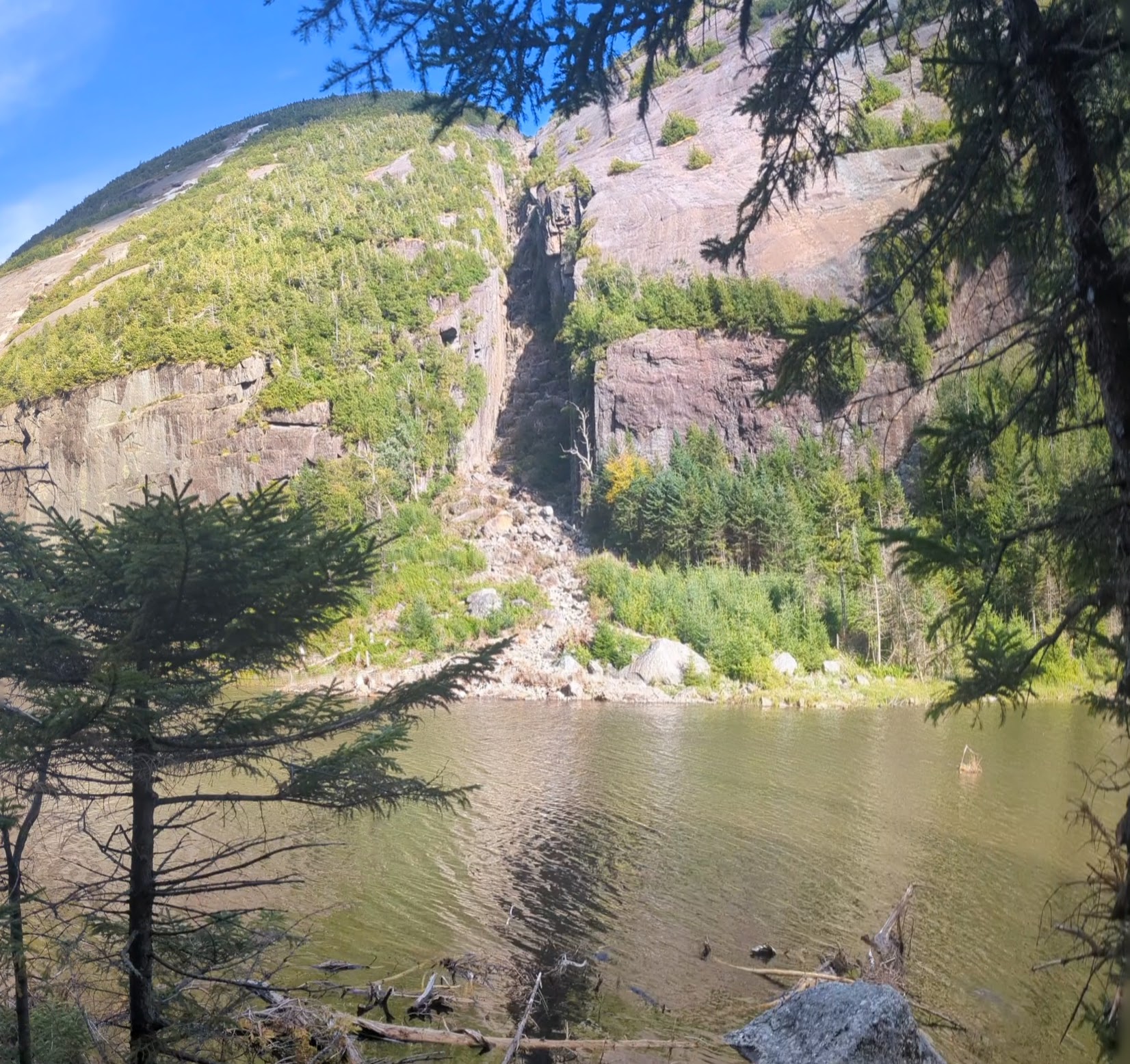
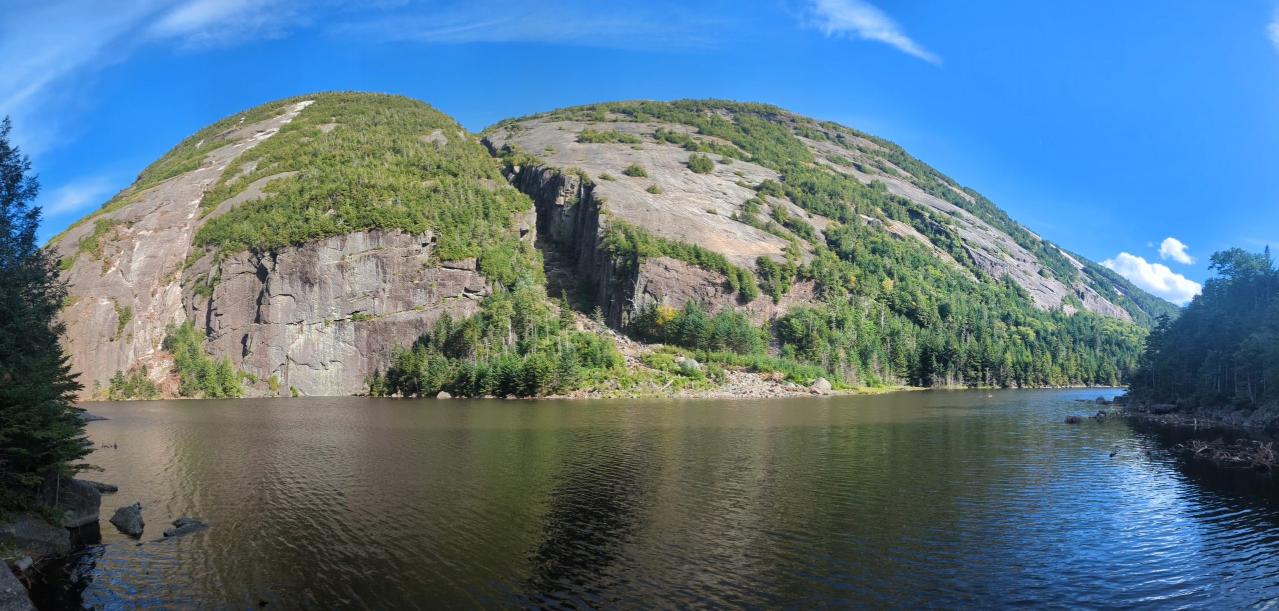
From the north end of Lake Colden the trail climbs gently toward Avalanche Lake, tightening as the walls begin to rise on either side. Stepping out along Avalanche Lake always feels like walking into a set piece: sheer cliffs dropping straight into dark water, broken rock piled in awkward angles, and the familiar catwalks bolted to the rock where there’s no room for a normal footpath. Even with the closure in effect, the route itself was manageable — careful footwork, some up-and-over moves on boulders, and a steady line along the shore.
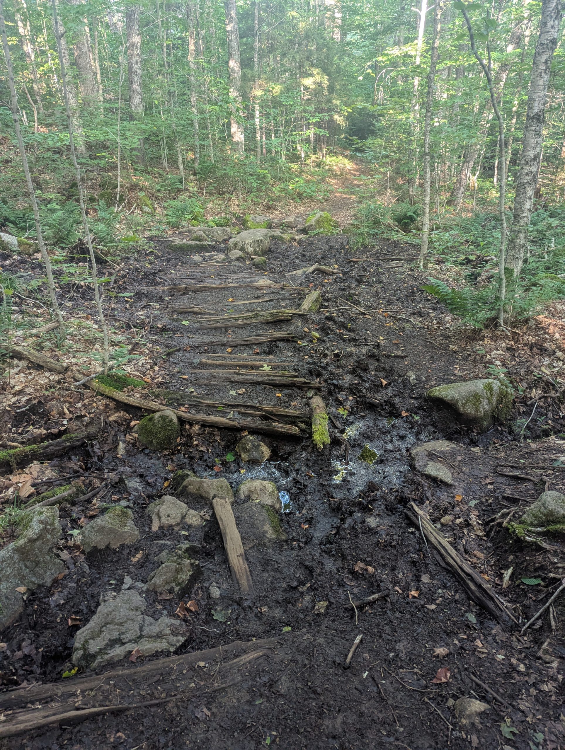
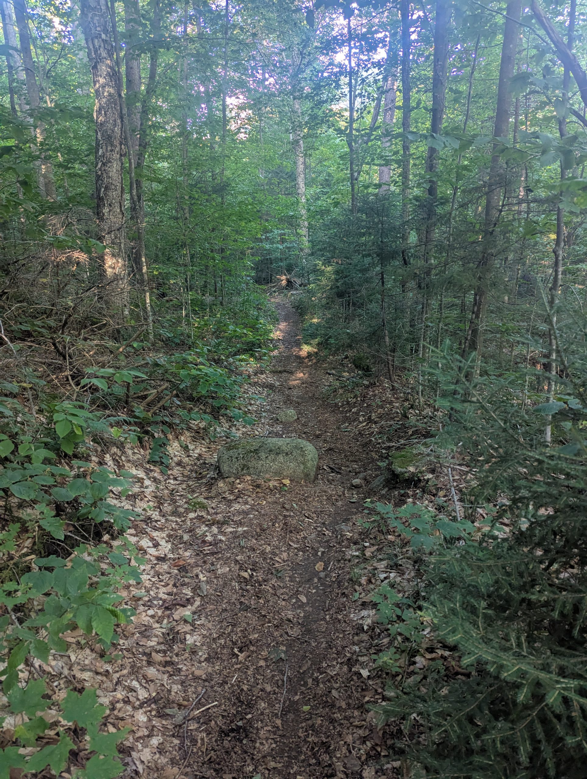
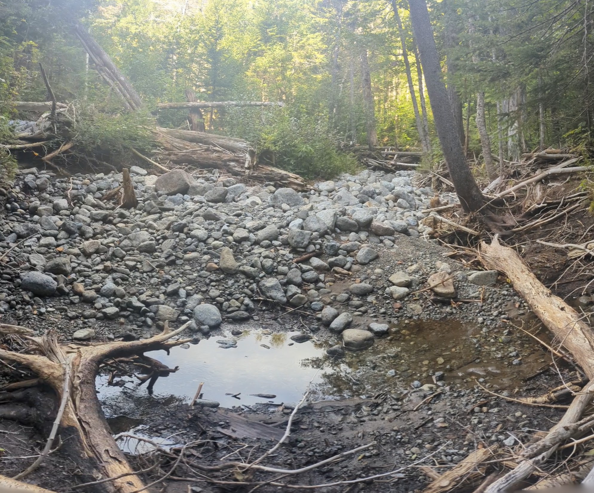
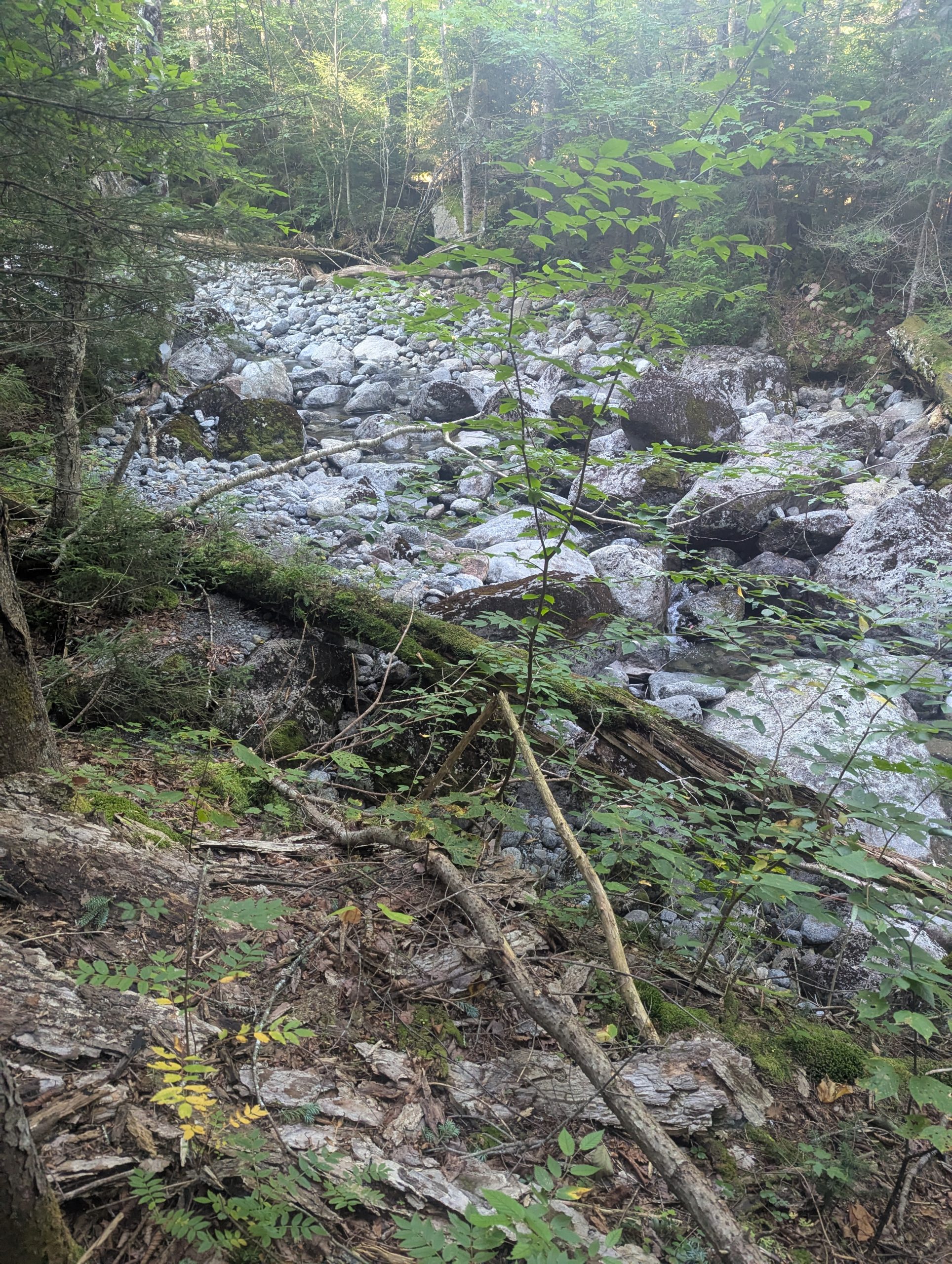
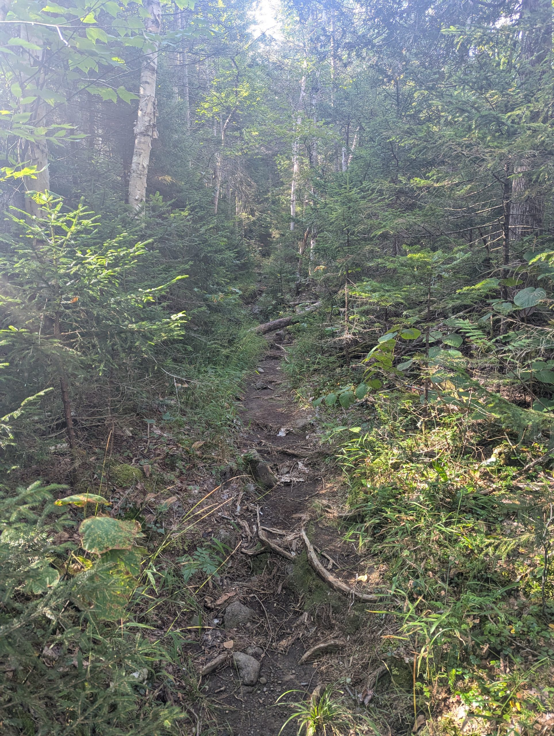
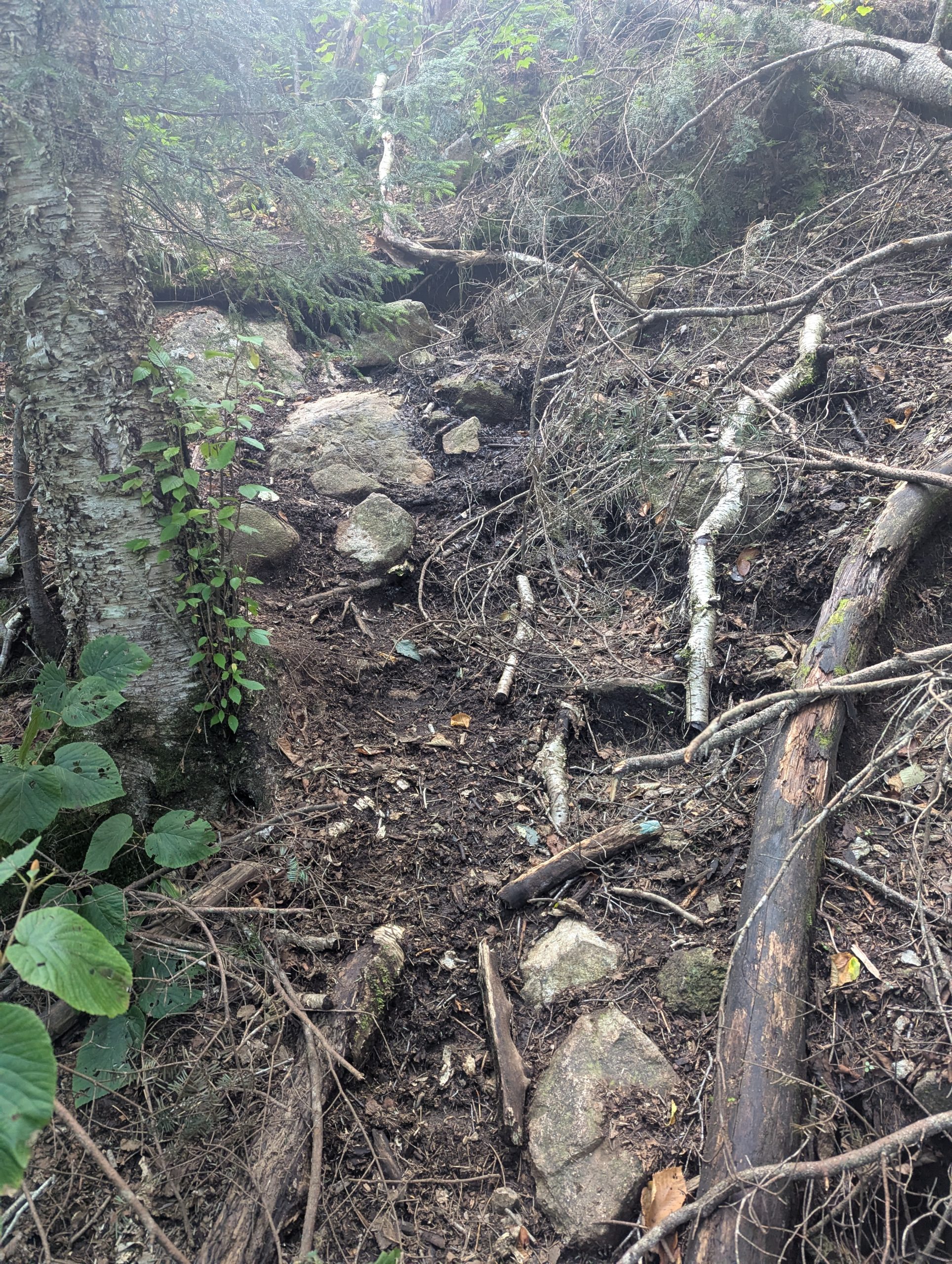
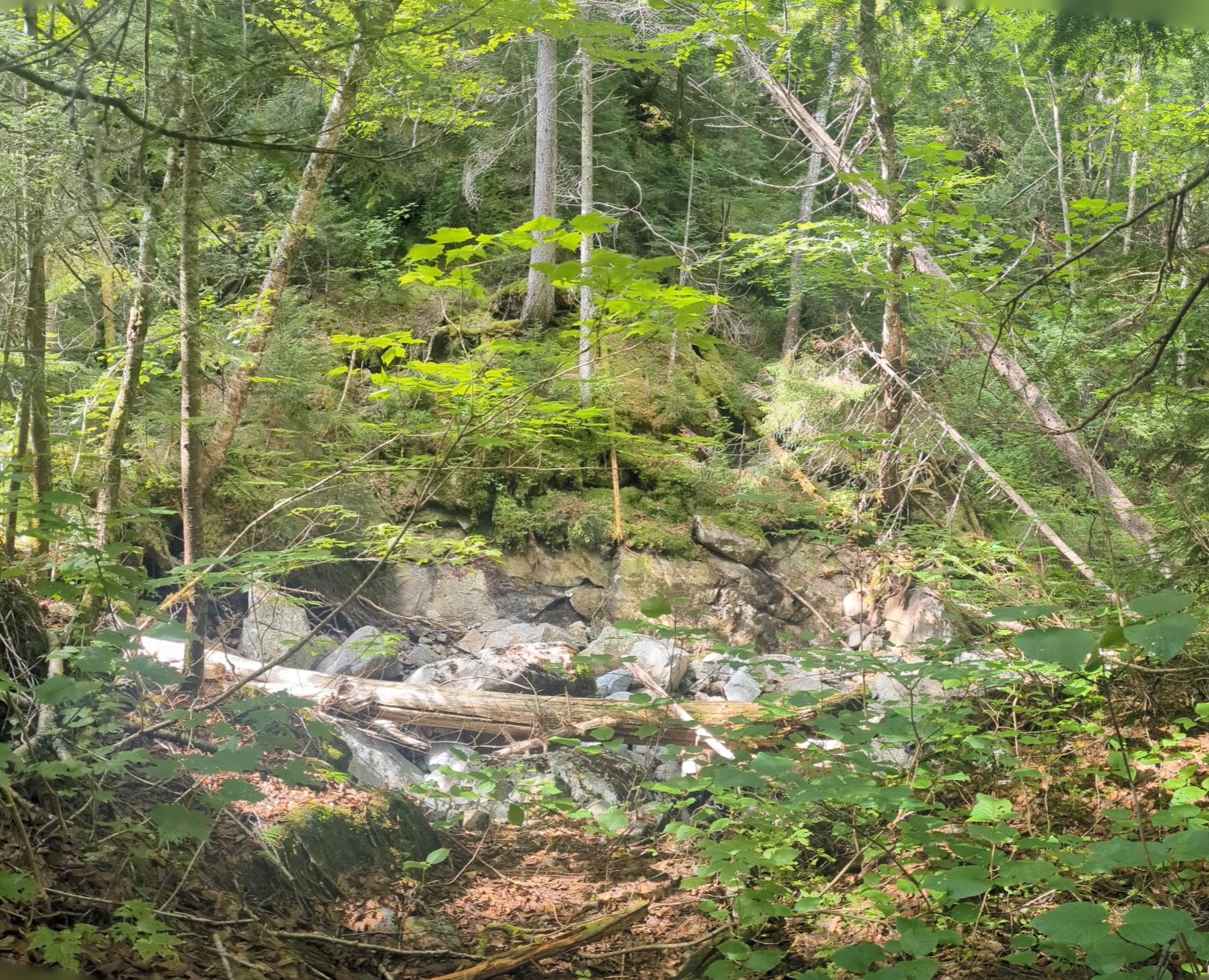
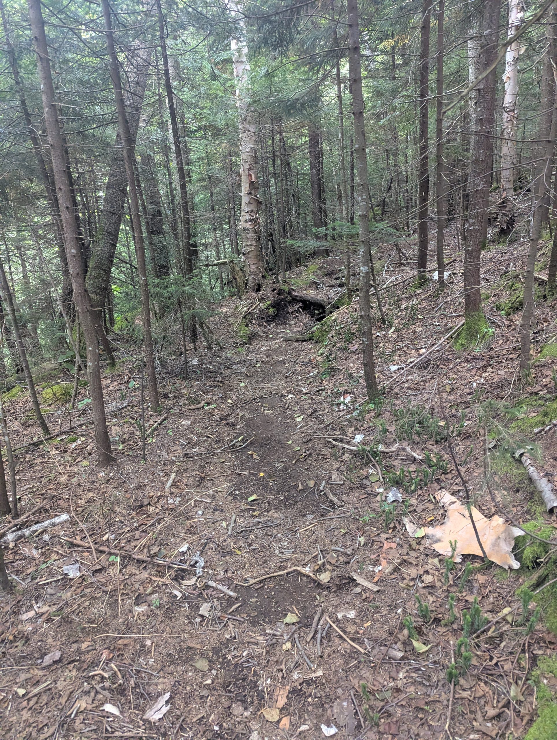
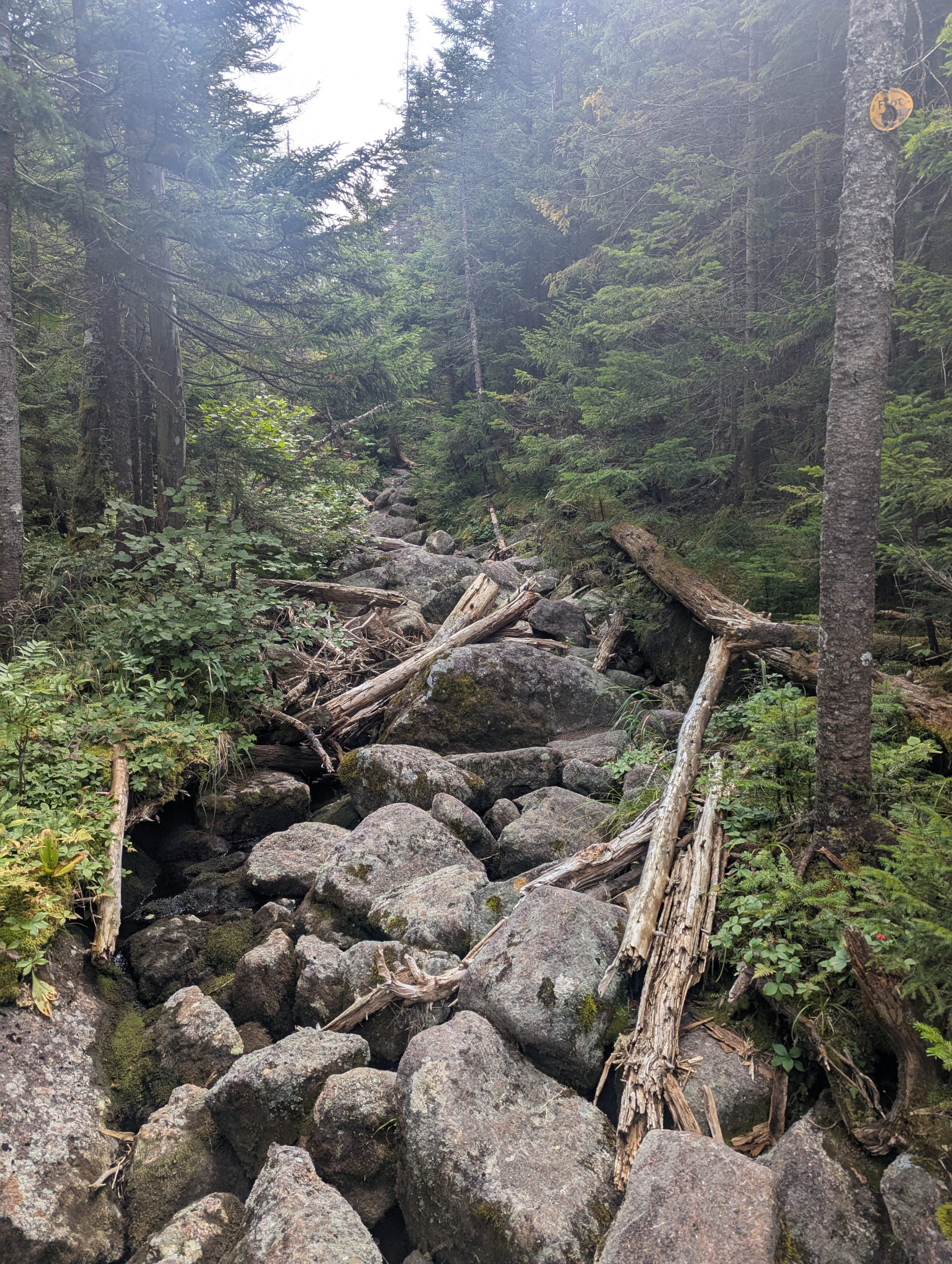
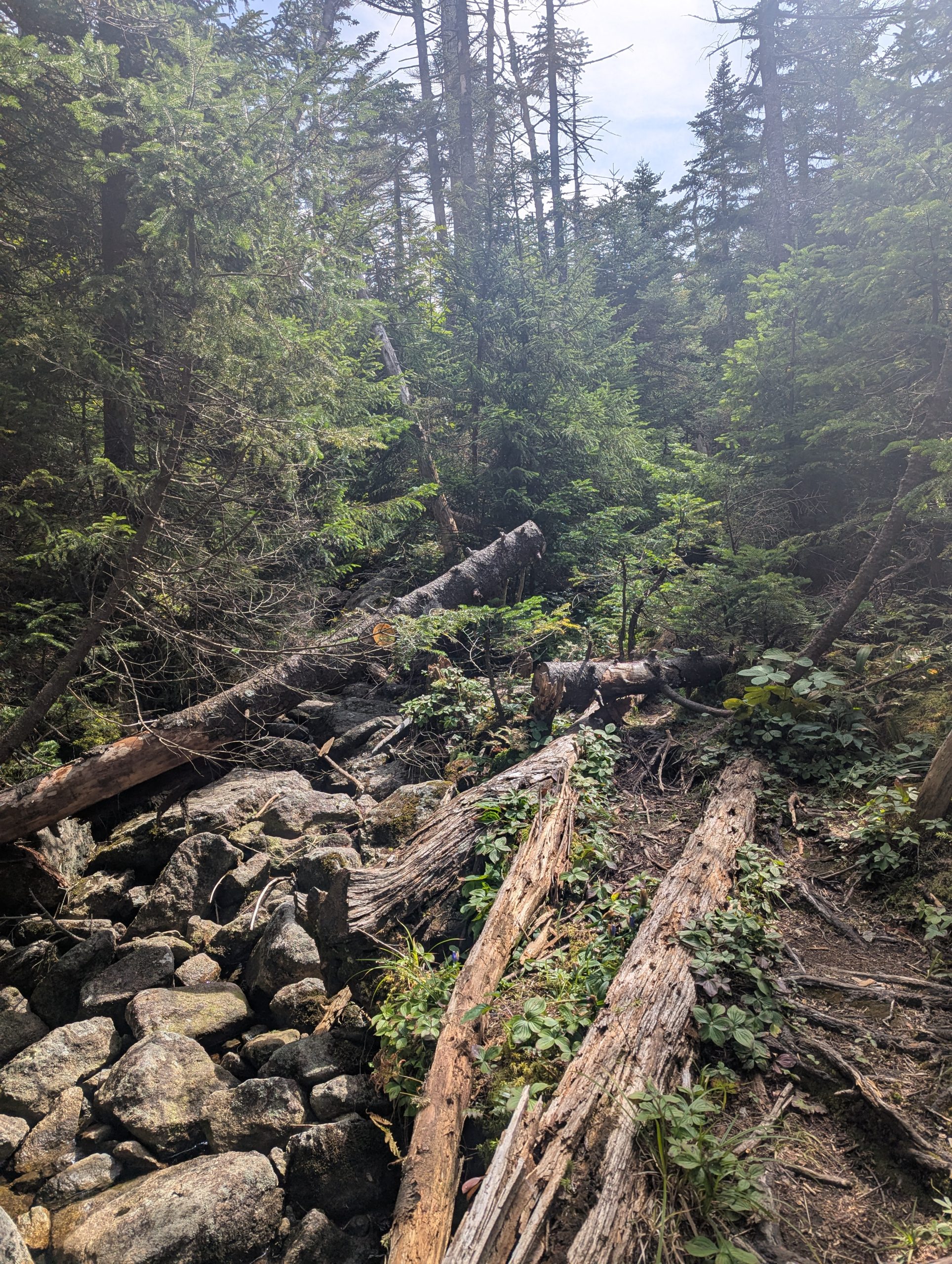
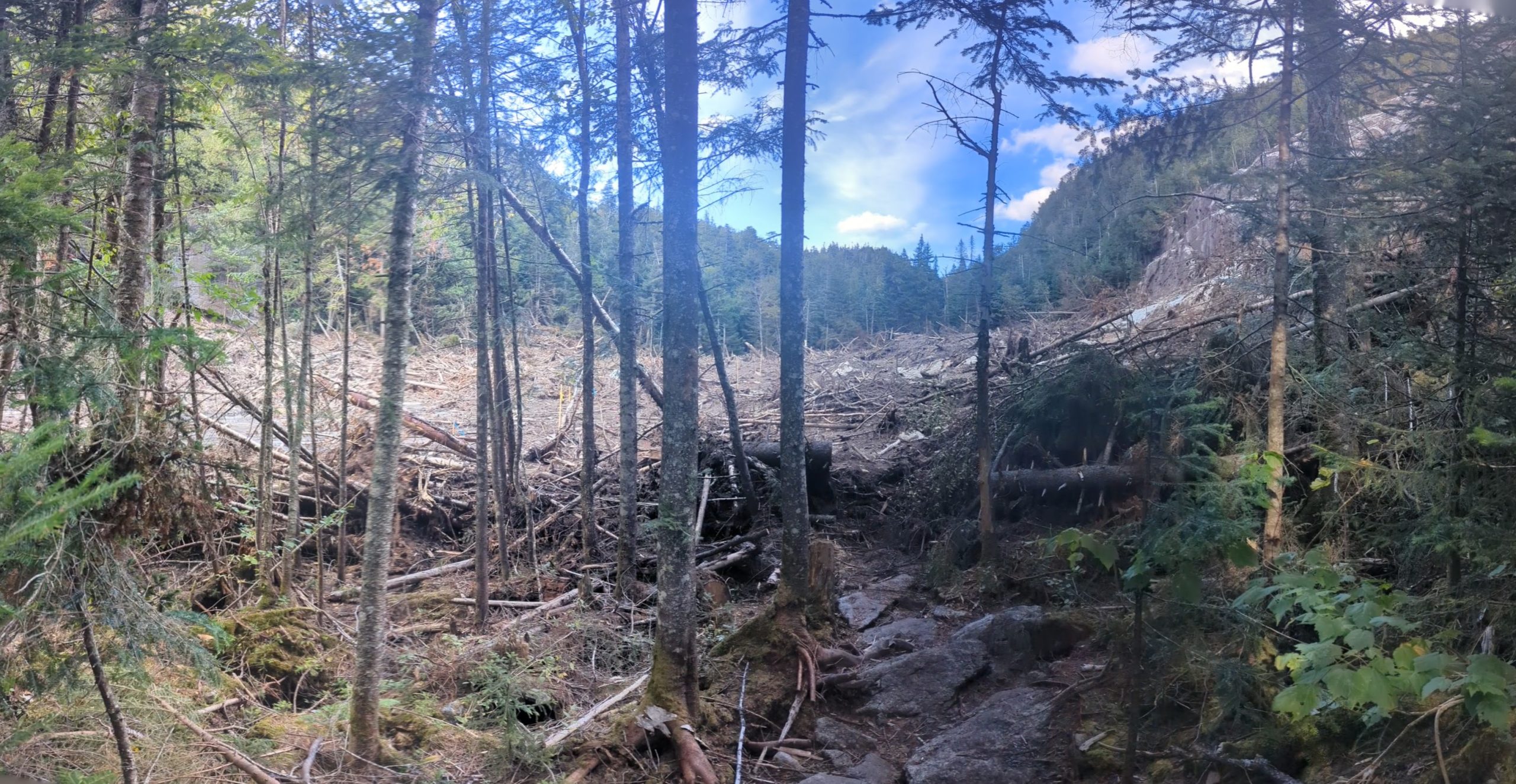
At the far end of Avalanche Lake the trail tips up again into Avalanche Pass proper. That short climb threads through more jumbled rock, short ladders, and tight slots between boulders before finally easing off on the north side. The landslide did leave a large area completely covered in mud, where the last slide piled up trees and a route needed to be cut through them, this one was simply a flat open expanse of mud. It was flagged and solid until the end where is became deep mud and water that required some careful footwork and leaps to get to the other side. Once out of the pass and on the ski trail, the character of the trail changes quickly: grade moderates, tread improves, and the walk down toward Marcy Dam becomes much more relaxed. From Marcy Dam back to the Loj it was familiar, well-worn trail — roots, a few rocky bits, but nothing demanding. By the time I stepped out at the parking lot it was fully dark, but on a route I’ve done many times before, it was an easy, predictable finish.


Leave a Reply
You must be logged in to post a comment.